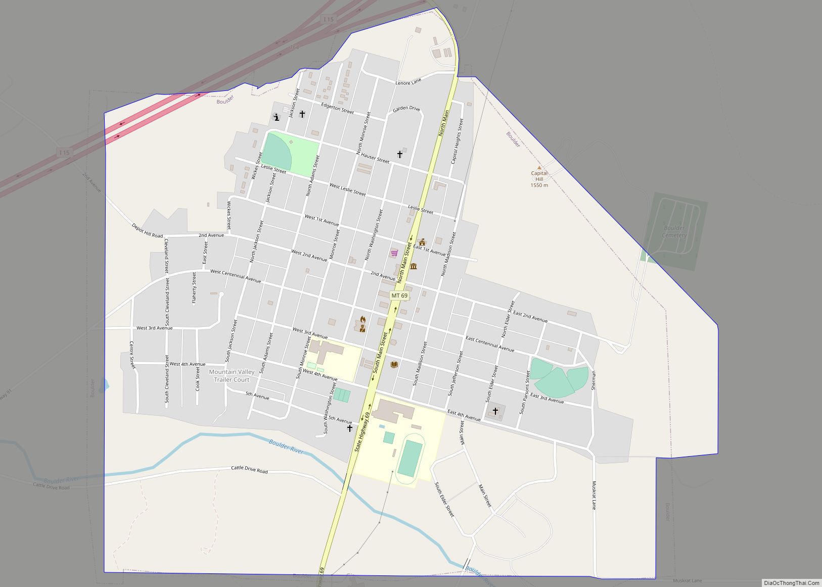
Whitehall is a town in Jefferson County, Montana, United States. The population was 1,006 at the 2020 census. It is part of the Helena Micropolitan Statistical Area.
The town is nestled in the Jefferson Valley, which is shadowed by the Tobacco Root and Highland Mountain ranges and sits in the heart of the Deerlodge National Forest. It is also within 23–60 miles of three major airports, four colleges, five ski resorts, seven major rivers, mountain lakes for fishing and backpacking, four lakes for boating, and three hot springs. There are numerous snowmobiling trails for winter riding and summer trail rides. The mountain ranges surrounding the valley, provide excellent opportunity for hunting big game.
Whitehall’s local attractions include Lewis and Clark Caverns State Park, Jefferson River, Ringing Rocks, and the Jefferson Valley Museum.
| Name: | Whitehall town |
|---|---|
| LSAD Code: | 43 |
| LSAD Description: | town (suffix) |
| State: | Montana |
| County: | Jefferson County |
| Elevation: | 4,360 ft (1,330 m) |
| Total Area: | 0.70 sq mi (1.83 km²) |
| Land Area: | 0.70 sq mi (1.83 km²) |
| Water Area: | 0.00 sq mi (0.00 km²) |
| Total Population: | 1,006 |
| Population Density: | 1,426.95/sq mi (550.94/km²) |
| ZIP code: | 59759 |
| Area code: | 406 |
| FIPS code: | 3079900 |
| GNISfeature ID: | 0793224 |
| Website: | townofwhitehall.org |
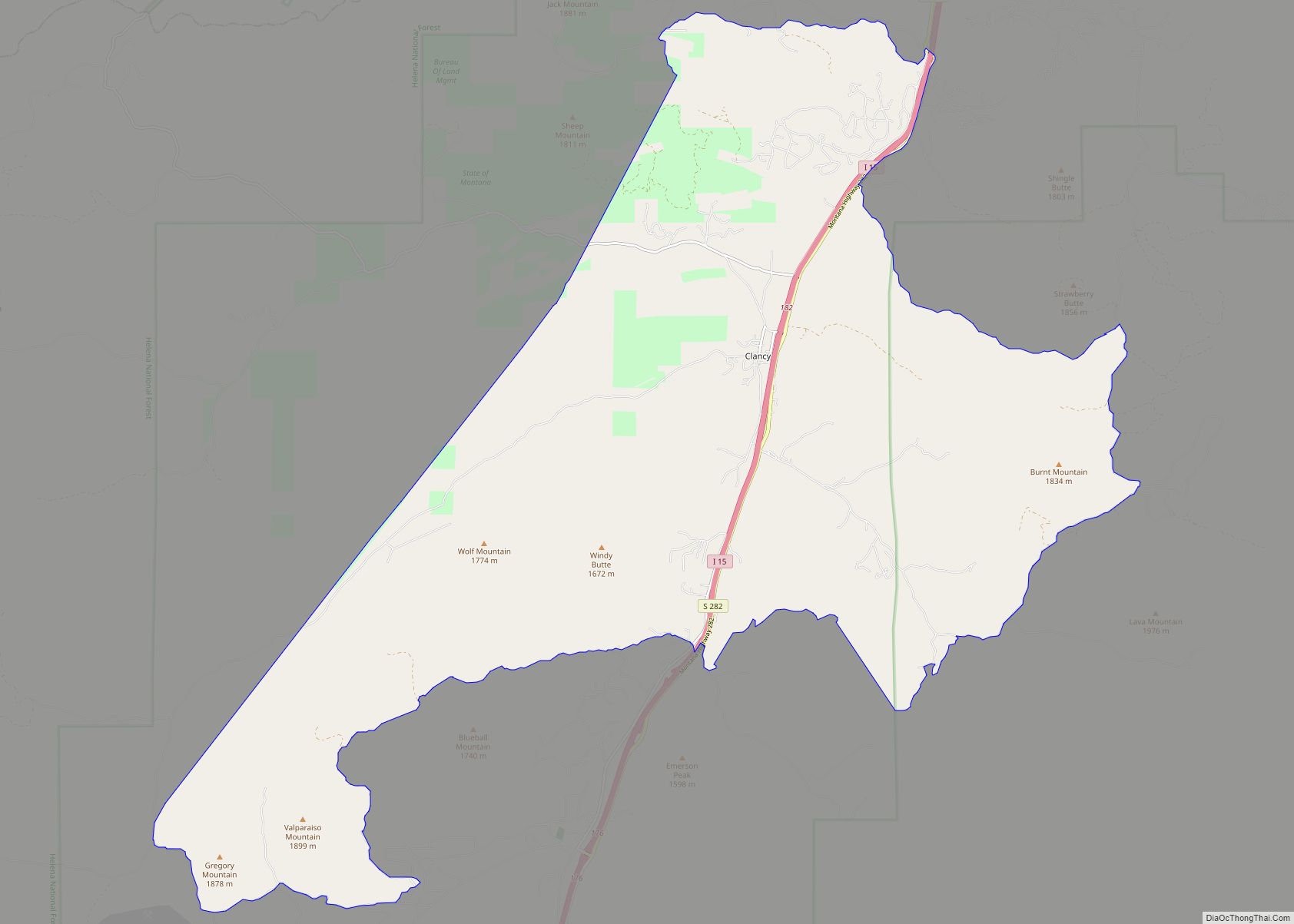
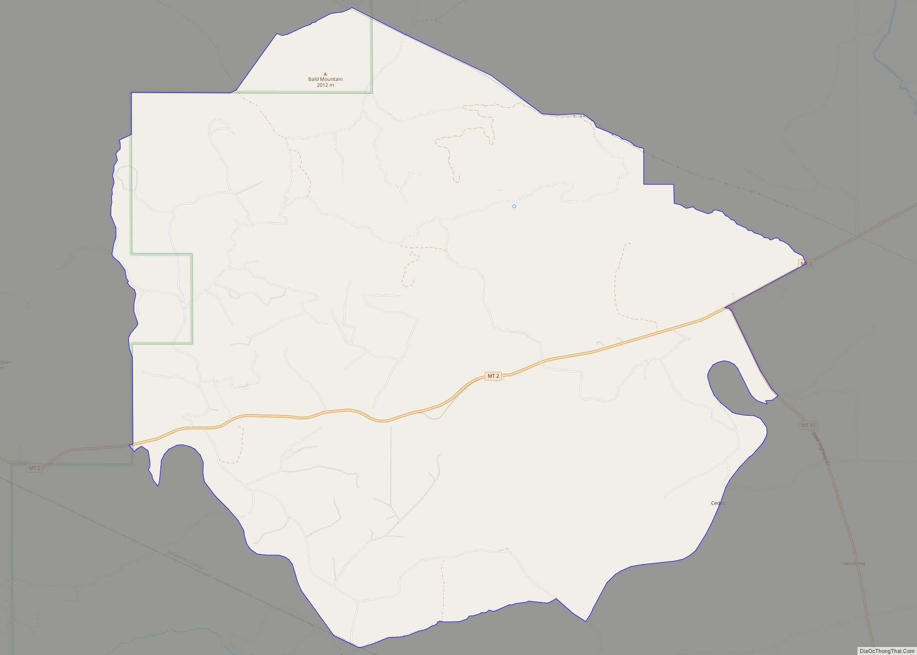
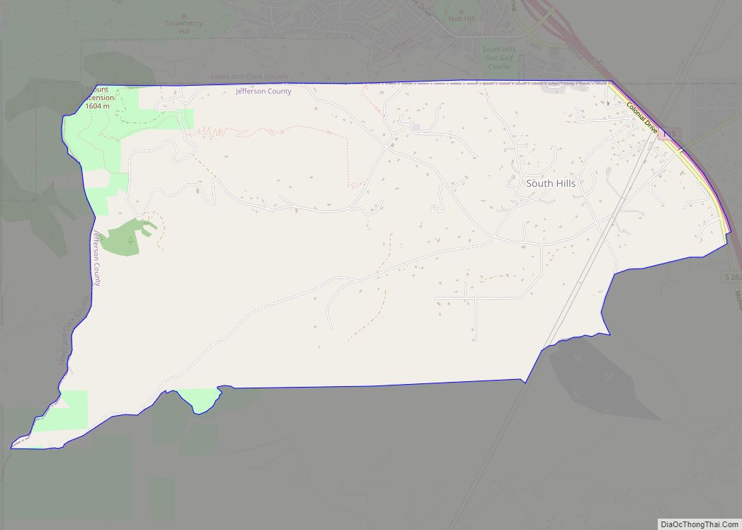
Online Interactive Map
Click on ![]() to view map in "full screen" mode.
to view map in "full screen" mode.
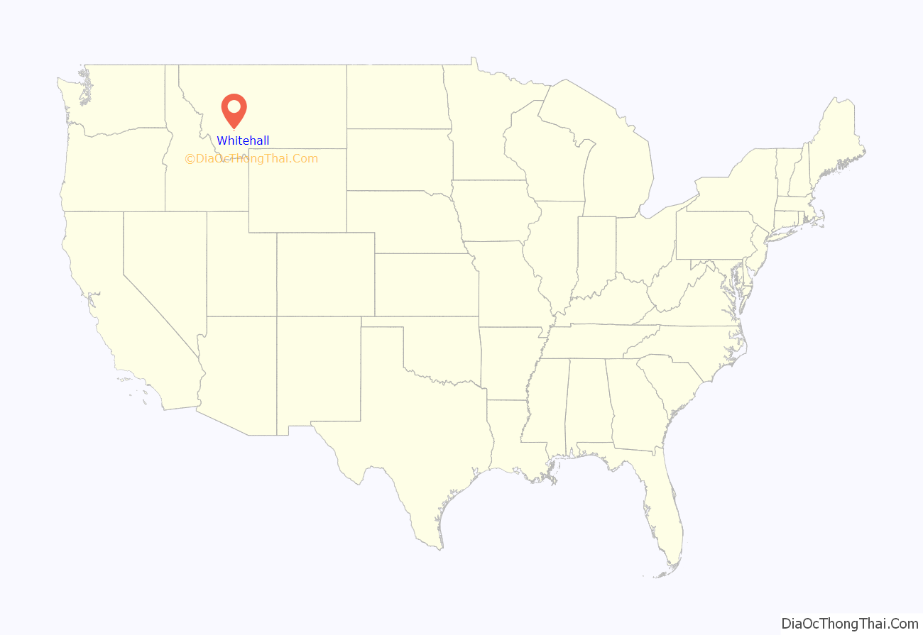
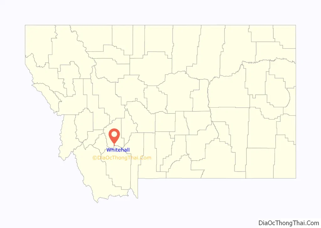
Whitehall location map. Where is Whitehall town?
History
Whitehall began as a rail depot created by the Northern Pacific and Montana Railroad on September 25, 1889. The name for the depot came from E.G. Brooke, who was inspired by a similar town in which he stayed in Illinois while making his way westward. On September 3, 1890, the Jefferson County Commissioners accepted and filed the Townsite of Whitehall.
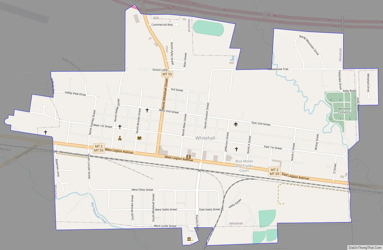
Whitehall Road Map
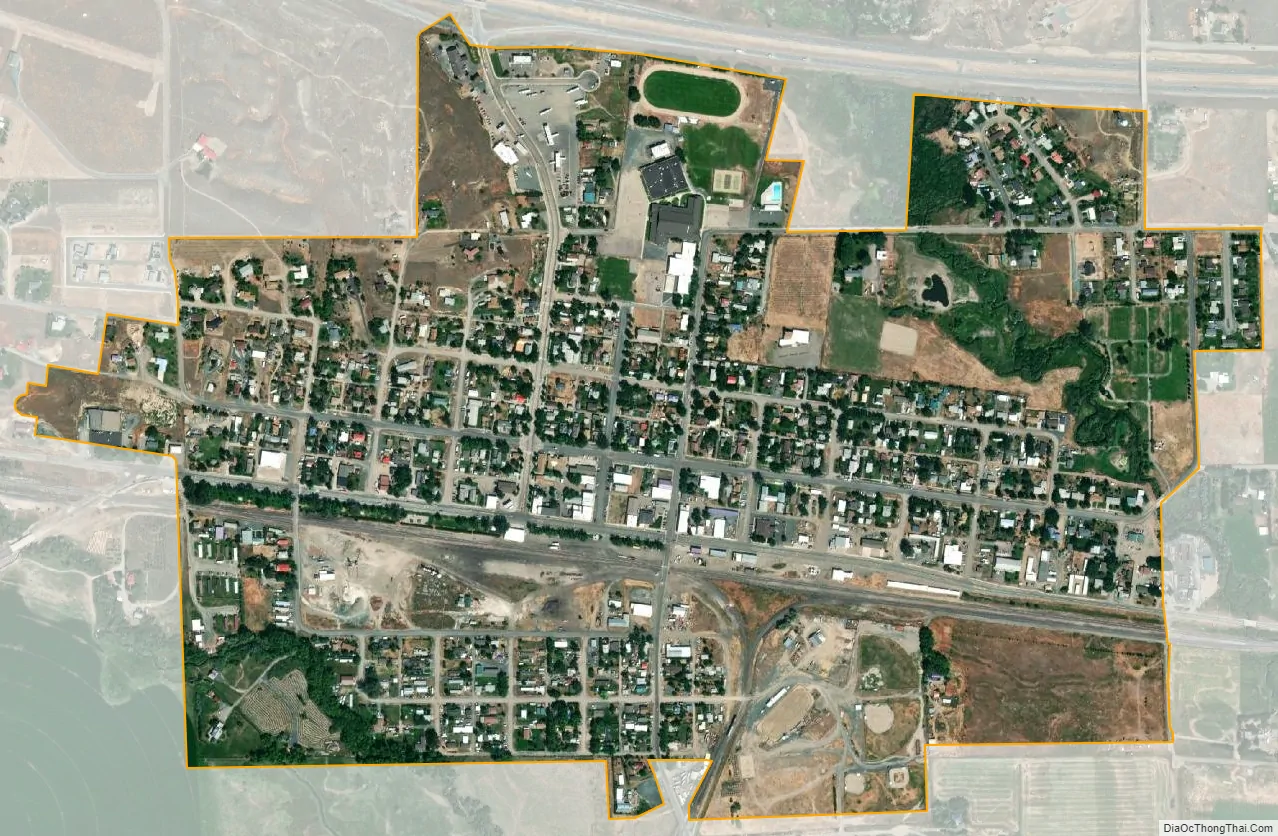
Whitehall city Satellite Map
Geography
Whitehall is located at 45°52′13″N 112°5′54″W / 45.87028°N 112.09833°W / 45.87028; -112.09833 (45.870238, -112.098464). Interstate 90 passes by the town with access via exit 249.
According to the United States Census Bureau, the town has a total area of 0.67 square miles (1.74 km), all land.
See also
Map of Montana State and its subdivision:- Beaverhead
- Big Horn
- Blaine
- Broadwater
- Carbon
- Carter
- Cascade
- Chouteau
- Custer
- Daniels
- Dawson
- Deer Lodge
- Fallon
- Fergus
- Flathead
- Gallatin
- Garfield
- Glacier
- Golden Valley
- Granite
- Hill
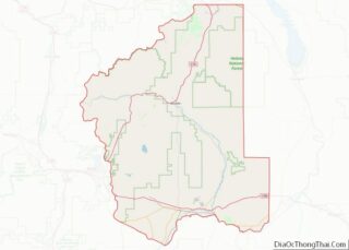
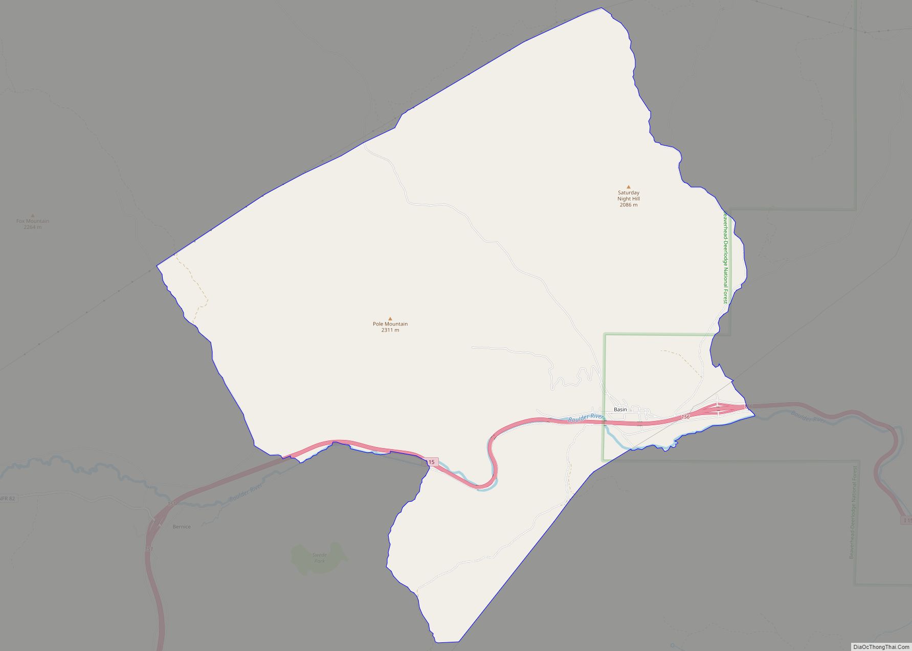
- Jefferson
- Judith Basin
- Lake
- Lewis and Clark
- Liberty
- Lincoln
- Madison
- McCone
- Meagher
- Mineral
- Missoula
- Musselshell
- Park
- Petroleum
- Phillips
- Pondera
- Powder River
- Powell
- Prairie
- Ravalli
- Richland
- Roosevelt
- Rosebud
- Sanders
- Sheridan
- Silver Bow
- Stillwater
- Sweet Grass
- Teton
- Toole
- Treasure
- Valley
- Wheatland
- Wibaux
- Yellowstone
- Alabama
- Alaska
- Arizona
- Arkansas
- California
- Colorado
- Connecticut
- Delaware
- District of Columbia
- Florida
- Georgia
- Hawaii
- Idaho
- Illinois
- Indiana
- Iowa
- Kansas
- Kentucky
- Louisiana
- Maine
- Maryland
- Massachusetts
- Michigan
- Minnesota
- Mississippi
- Missouri
- Montana
- Nebraska
- Nevada
- New Hampshire
- New Jersey
- New Mexico
- New York
- North Carolina
- North Dakota
- Ohio
- Oklahoma
- Oregon
- Pennsylvania
- Rhode Island
- South Carolina
- South Dakota
- Tennessee
- Texas
- Utah
- Vermont
- Virginia
- Washington
- West Virginia
- Wisconsin
- Wyoming