Upper Nyack is a village incorporated in 1872 in the town of Clarkstown, Rockland County, New York, United States. It is located north of the village of Nyack, east of Valley Cottage, south of Rockland Lake State Park, and west of the Hudson River. The population was 2,063 at the 2010 census.
Upper Nyack has a Village Hall and a village law court, located in the same building on North Broadway. Upper Nyack is also home to the Empire Hook and Ladder Company No. 1, established in 1863, one of eight fire companies in the Nyack Joint Fire District.
| Name: | Upper Nyack village |
|---|---|
| LSAD Code: | 47 |
| LSAD Description: | village (suffix) |
| State: | New York |
| County: | Rockland County |
| Incorporated: | 1872 |
| Elevation: | 190 ft (58 m) |
| Total Area: | 4.37 sq mi (11.33 km²) |
| Land Area: | 1.23 sq mi (3.18 km²) |
| Water Area: | 3.15 sq mi (8.15 km²) |
| Total Population: | 2,015 |
| Population Density: | 1,640.88/sq mi (633.35/km²) |
| ZIP code: | 10960 |
| Area code: | 845 |
| FIPS code: | 3676386 |
| GNISfeature ID: | 0968288 |
| Website: | http://uppernyack-ny.us/ |
Online Interactive Map
Click on ![]() to view map in "full screen" mode.
to view map in "full screen" mode.
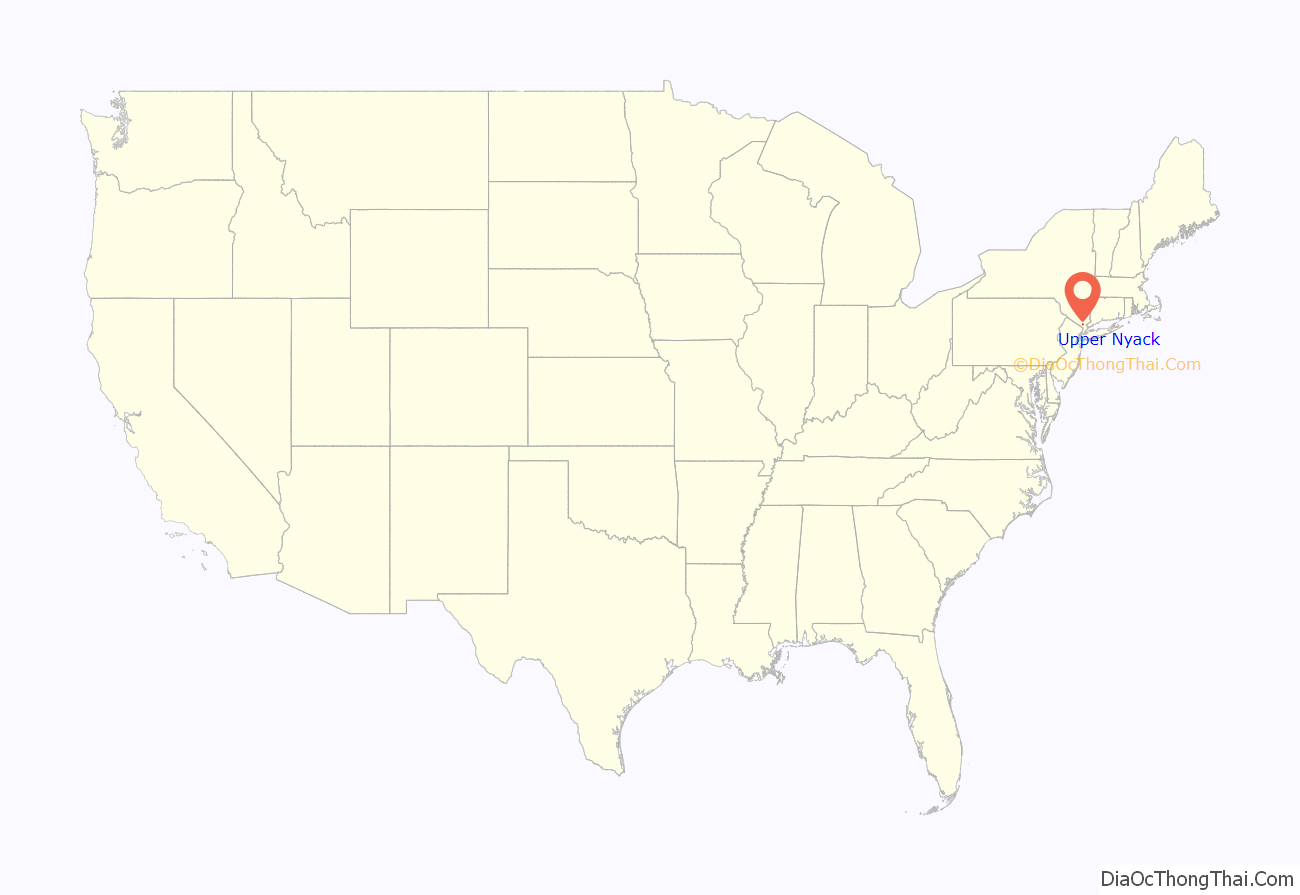
Upper Nyack location map. Where is Upper Nyack village?

History
Upper Nyack was incorporated in 1872. Two hundred years prior, Claus Jansen Purarent of Bergen Township (now Jersey City) received a patent from Governor Phillip Carteret for 640 acres (260 ha) of land north of Tappan. Jansen sold 100 acres (40 ha) to Dowe Harmensen Tallman, and the rest was inherited by his son Cornelius Clausen, who assumed the surname of Kuyper (Cooper). Kuyper was an outstanding public servant in the County of Orange. The first Upper Nyacker also commanded the first company of militia in the county. He died in 1731 and is buried in the Upper Nyack Burial Grounds.
Following the extension of the Northern Railroad of New Jersey into the area in the mid-19th century, rapid growth ensued. Town government no longer being seen as an effective means of dealing with the needs of Nyack proper, village incorporation was discussed. Fearing higher taxes, those in what would have become the northern part of Nyack village formed their own municipal corporation first, named Upper Nyack. Nyack village still incorporated, too, although without this northern portion.
In 1909, the village was known locally as “Goosetown”, probably due to a Colonel Vose, who lived on Highmount Avenue and kept geese which he drove daily down to the river, thus giving the thought that Upper Nyack was full of/for the birds. The slogan “Goosetown against the world” was adopted in 1909 due to a local dispute. During the celebration of Upper Nyack’s Centennial in 1972, Upper Nyackers proudly displayed bumper stickers again with the words “GOOSETOWN AGAINST THE WORLD”.
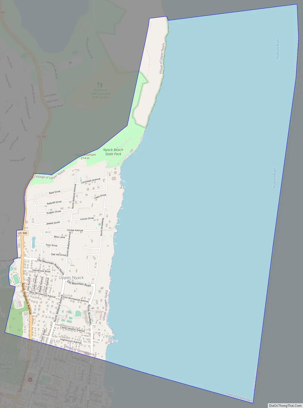
Upper Nyack Road Map
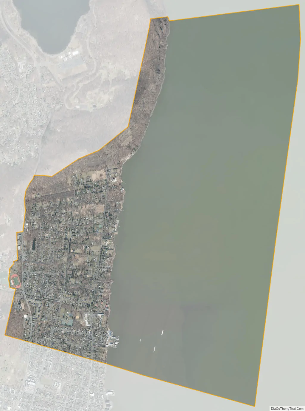
Upper Nyack city Satellite Map
Geography
The village is on the west bank of the Hudson River, a mile north of where the Tappan Zee Bridge carries the New York State Thruway to Tarrytown, New York.
According to the United States Census Bureau, the village has a total area of 4.4 square miles (11.3 km), of which 1.2 square miles (3.2 km) is land and 3.1 square miles (8.1 km), or 72.01%, is water.
See also
Map of New York State and its subdivision:- Albany
- Allegany
- Bronx
- Broome
- Cattaraugus
- Cayuga
- Chautauqua
- Chemung
- Chenango
- Clinton
- Columbia
- Cortland
- Delaware
- Dutchess
- Erie
- Essex
- Franklin
- Fulton
- Genesee
- Greene
- Hamilton
- Herkimer
- Jefferson
- Kings
- Lake Ontario
- Lewis
- Livingston
- Madison
- Monroe
- Montgomery
- Nassau
- New York
- Niagara
- Oneida
- Onondaga
- Ontario
- Orange
- Orleans
- Oswego
- Otsego
- Putnam
- Queens
- Rensselaer
- Richmond
- Rockland
- Saint Lawrence
- Saratoga
- Schenectady
- Schoharie
- Schuyler
- Seneca
- Steuben
- Suffolk
- Sullivan
- Tioga
- Tompkins
- Ulster
- Warren
- Washington
- Wayne
- Westchester
- Wyoming
- Yates
- Alabama
- Alaska
- Arizona
- Arkansas
- California
- Colorado
- Connecticut
- Delaware
- District of Columbia
- Florida
- Georgia
- Hawaii
- Idaho
- Illinois
- Indiana
- Iowa
- Kansas
- Kentucky
- Louisiana
- Maine
- Maryland
- Massachusetts
- Michigan
- Minnesota
- Mississippi
- Missouri
- Montana
- Nebraska
- Nevada
- New Hampshire
- New Jersey
- New Mexico
- New York
- North Carolina
- North Dakota
- Ohio
- Oklahoma
- Oregon
- Pennsylvania
- Rhode Island
- South Carolina
- South Dakota
- Tennessee
- Texas
- Utah
- Vermont
- Virginia
- Washington
- West Virginia
- Wisconsin
- Wyoming


