Cross Hill is a town in Laurens County, South Carolina, United States. The population was 507 at the 2010 census. It is part of the Greenville–Mauldin–Easley Metropolitan Statistical Area.
| Name: | Cross Hill town |
|---|---|
| LSAD Code: | 43 |
| LSAD Description: | town (suffix) |
| State: | South Carolina |
| County: | Laurens County |
| Elevation: | 587 ft (179 m) |
| Total Area: | 3.19 sq mi (8.25 km²) |
| Land Area: | 3.19 sq mi (8.25 km²) |
| Water Area: | 0.00 sq mi (0.00 km²) |
| Total Population: | 404 |
| Population Density: | 126.84/sq mi (48.97/km²) |
| ZIP code: | 29332 |
| Area code: | 864 |
| FIPS code: | 4517890 |
| GNISfeature ID: | 1247433 |
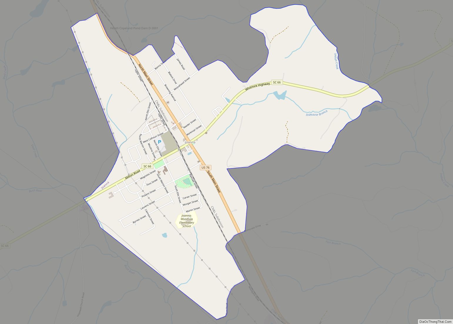
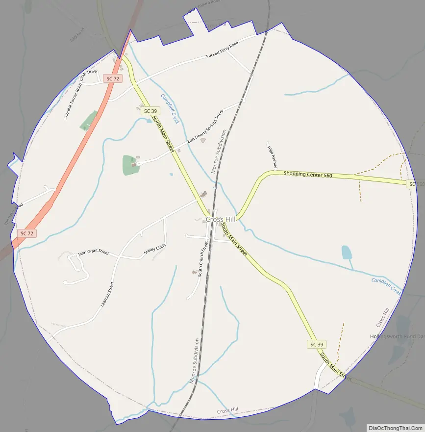
Online Interactive Map
Click on ![]() to view map in "full screen" mode.
to view map in "full screen" mode.
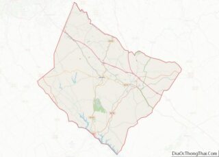
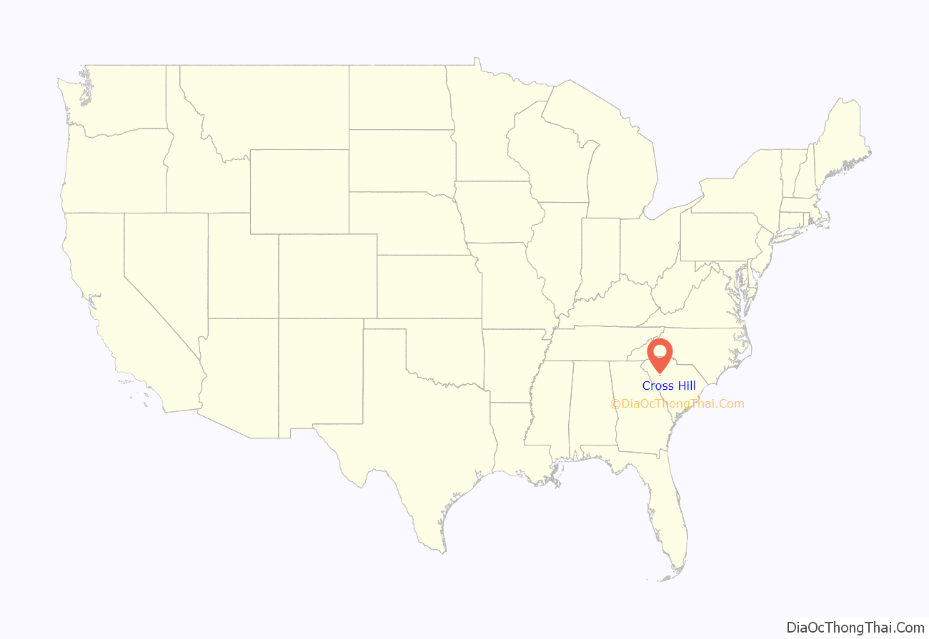
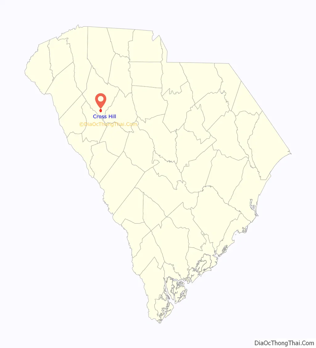
Cross Hill location map. Where is Cross Hill town?
History
Cross Hill developed around the intersection of two old Indian trails. The Carter family constructed an inn at the intersection of these two trails in 1795. By 1837, the community that developed around the inn was known as “Cross Hill.” The town expanded with the arrival of the Georgia, Carolina and Northern Railway in 1890, and officially incorporated that same year.
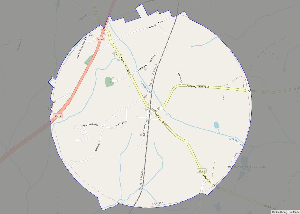
Cross Hill Road Map
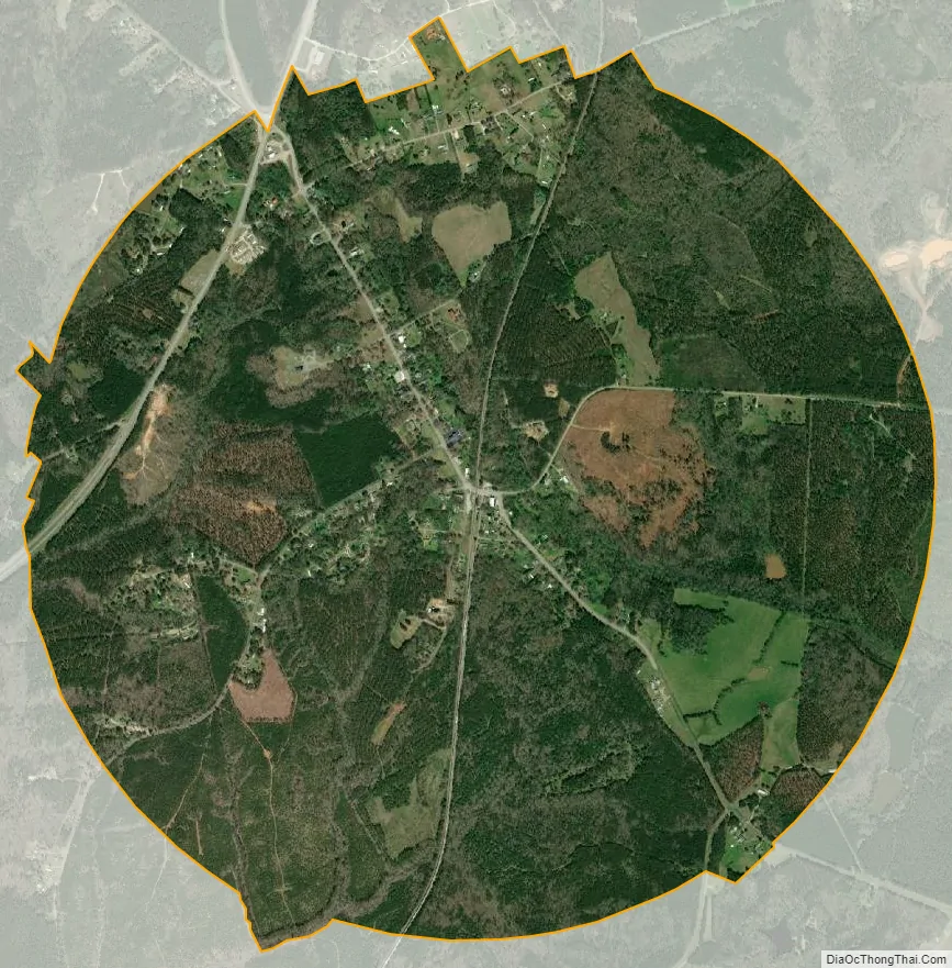
Cross Hill city Satellite Map
Geography
Cross Hill is located at 34°18′37″N 81°59′3″W / 34.31028°N 81.98417°W / 34.31028; -81.98417 (34.310186, -81.984188). The town is concentrated around the intersection of South Carolina Highway 39 and South Carolina Highway 560, northeast of Greenwood. Lake Greenwood lies just to the west. South Carolina Highway 72 passes through the town’s northern outskirts.
According to the United States Census Bureau, the town has a total area of 3.1 square miles (8.0 km), all land.
See also
Map of South Carolina State and its subdivision:- Abbeville
- Aiken
- Allendale
- Anderson
- Bamberg
- Barnwell
- Beaufort
- Berkeley
- Calhoun
- Charleston
- Cherokee
- Chester
- Chesterfield
- Clarendon
- Colleton
- Darlington
- Dillon
- Dorchester
- Edgefield
- Fairfield
- Florence
- Georgetown
- Greenville
- Greenwood
- Hampton
- Horry
- Jasper
- Kershaw
- Lancaster
- Laurens
- Lee
- Lexington
- Marion
- Marlboro
- McCormick
- Newberry
- Oconee
- Orangeburg
- Pickens
- Richland
- Saluda
- Spartanburg
- Sumter
- Union
- Williamsburg
- York
- Alabama
- Alaska
- Arizona
- Arkansas
- California
- Colorado
- Connecticut
- Delaware
- District of Columbia
- Florida
- Georgia
- Hawaii
- Idaho
- Illinois
- Indiana
- Iowa
- Kansas
- Kentucky
- Louisiana
- Maine
- Maryland
- Massachusetts
- Michigan
- Minnesota
- Mississippi
- Missouri
- Montana
- Nebraska
- Nevada
- New Hampshire
- New Jersey
- New Mexico
- New York
- North Carolina
- North Dakota
- Ohio
- Oklahoma
- Oregon
- Pennsylvania
- Rhode Island
- South Carolina
- South Dakota
- Tennessee
- Texas
- Utah
- Vermont
- Virginia
- Washington
- West Virginia
- Wisconsin
- Wyoming