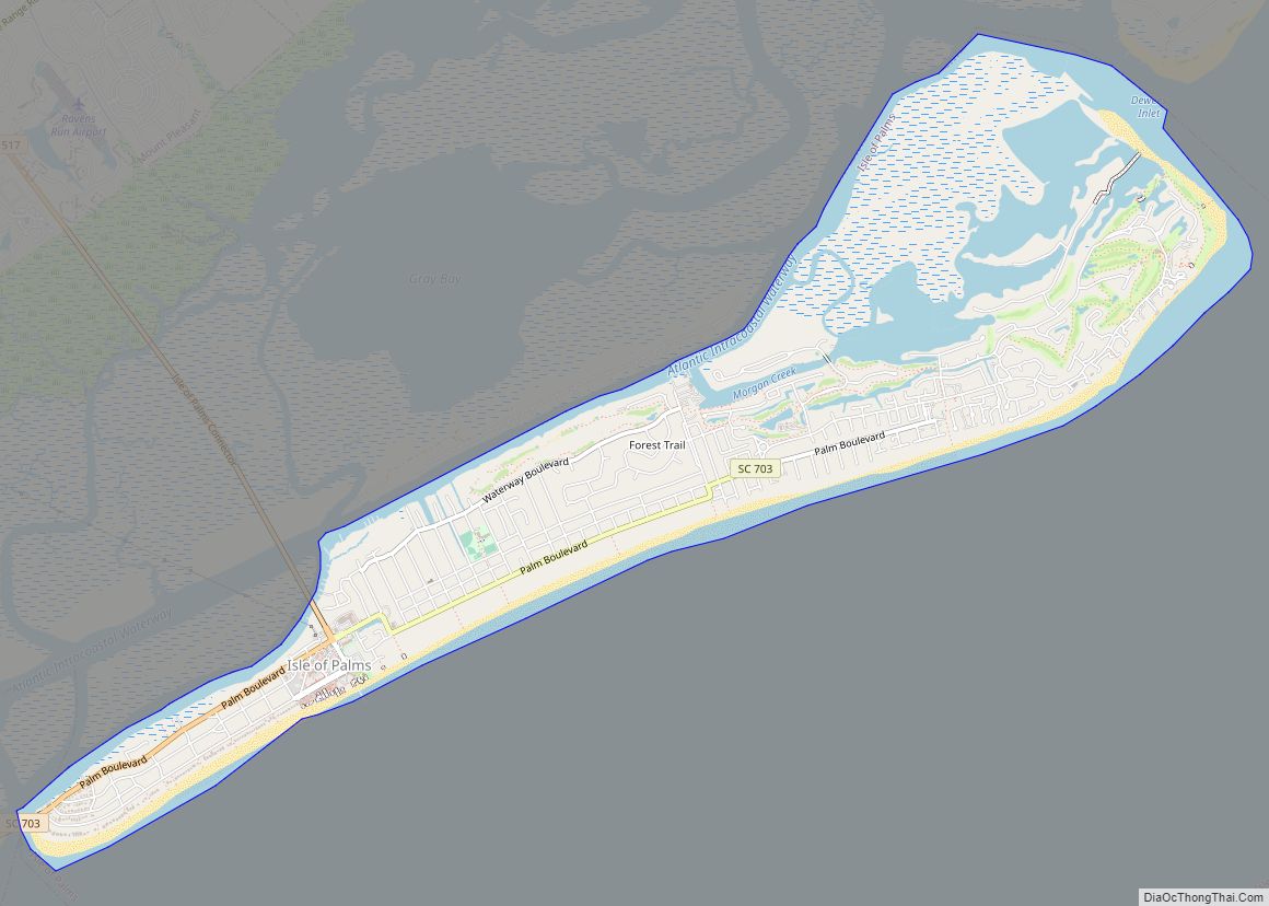
Isle of Palms is a city in Charleston County, South Carolina, United States. At the 2010 census, the population was 4,133. Isle of Palms is a barrier island on the South Carolina coast. The city is included within the Charleston-North Charleston-Summerville metropolitan area and the Charleston-North Charleston Urbanized Area. The town lies along a narrow strip of land, hugging the beach, separated from the mainland by the Intracoastal Waterway. It is a community of both vacation home owners and year-round residents, with large beachfront homes, resorts, and local restaurants. Beach volleyball is popular in the summer, and the “Windjammer” club hosts several tournaments throughout the year.
| Name: | Isle of Palms city |
|---|---|
| LSAD Code: | 25 |
| LSAD Description: | city (suffix) |
| State: | South Carolina |
| County: | Charleston County |
| Incorporated: | 1938 (town), 1957 (city) |
| Elevation: | 11 ft (3 m) |
| Total Area: | 5.44 sq mi (14.08 km²) |
| Land Area: | 4.44 sq mi (11.49 km²) |
| Water Area: | 1.00 sq mi (2.59 km²) |
| Total Population: | 4,347 |
| Population Density: | 979.94/sq mi (378.36/km²) |
| ZIP code: | 29451 |
| Area code: | 843, 854 |
| FIPS code: | 4536115 |
| GNISfeature ID: | 1227790 |
| Website: | www.iop.net |
Online Interactive Map
Click on ![]() to view map in "full screen" mode.
to view map in "full screen" mode.
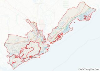
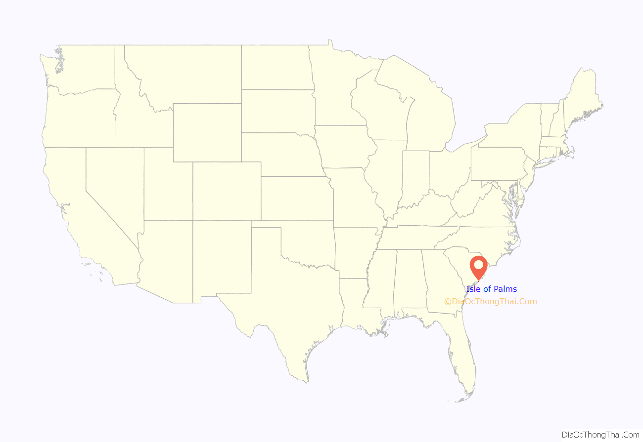
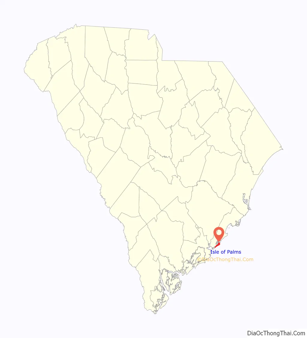
Isle of Palms location map. Where is Isle of Palms city?
History
The island’s original inhabitants were the Sewee tribe.
During the Civil War, the Confederate submarine H.L. Hunley departed from Breach Inlet, between Isle of Palms and neighboring Sullivan’s Island.
In the late nineteenth century, local residents began using the island as a vacation spot. At that time it was only accessible by ferry. It was bought by J.S. Lawrence in 1899, who gave the island its current name; before then it was known as “Hunting Island” or “Long Island”. A 50-room hotel was built in 1906. In 1912, James Sottile had a beach pavilion and an amusement park built, and a trolley line was constructed from Mount Pleasant on the mainland to Isle of Palms via Sullivan’s Island. In 1929, Grace Memorial Bridge was built between Charleston and Mount Pleasant to allow automobile traffic to reach the island.
Large-scale residential development began when J.C. Long bought up most of the island and built low-cost housing for World War II veterans. In 1975, the Sea Pines Company (of Hilton Head Island fame) established the 900-acre (360 ha) development now known as the Wild Dunes Beach and Racquet Club.
E. Lee Spence, a pioneer underwater archaeologist and prolific author of books and articles about shipwrecks and sunken treasure, discovered, with the help of Isle of Palms residents Wally Shaffer and George Campsen, many shipwrecks along the shores of the Isle of Palms in the 1960s. Their discoveries included the Civil War blockade runners Rattlesnake, Stonewall Jackson, Mary Bowers, Constance, Norseman and the Georgiana. The iron-hulled steamer Georgiana, which was sunk on her maiden voyage, was described in contemporary documents as pierced for 14 guns and more powerful than the famous Confederate cruiser Alabama. These historic discoveries resulted in the passage of South Carolina’s Underwater Antiquities Act allowing the archaeological salvage of shipwrecks.
During Hurricane Hugo, which struck September 21, 1989, much of the island was flooded by the storm surge.
The northeastern end of the Isle of Palms, which is home to the private community of Wild Dunes, endured a severe erosion crisis as a shoal attached to that section of the island and caused sand to be washed away from around the foundation of a large condominium. The city undertook a controversial beach restoration project in the spring and summer of 2008 which replenished the beach with dredged sand and saved the threatened structures.
In February 2019, it was reported that the city’s police force was undergoing a crisis following several resignations.
On April 7, 2023, 6 people were injured in a mass shooting.
County parks
The Charleston County Park and Recreation Commission (CCPRC) operates numerous facilities within Charleston County including Isle of Palms County Park.
Marinas and boat landings:
- Cooper River Marina
- Multiple county-wide boat landings
Isle of Palms Road Map

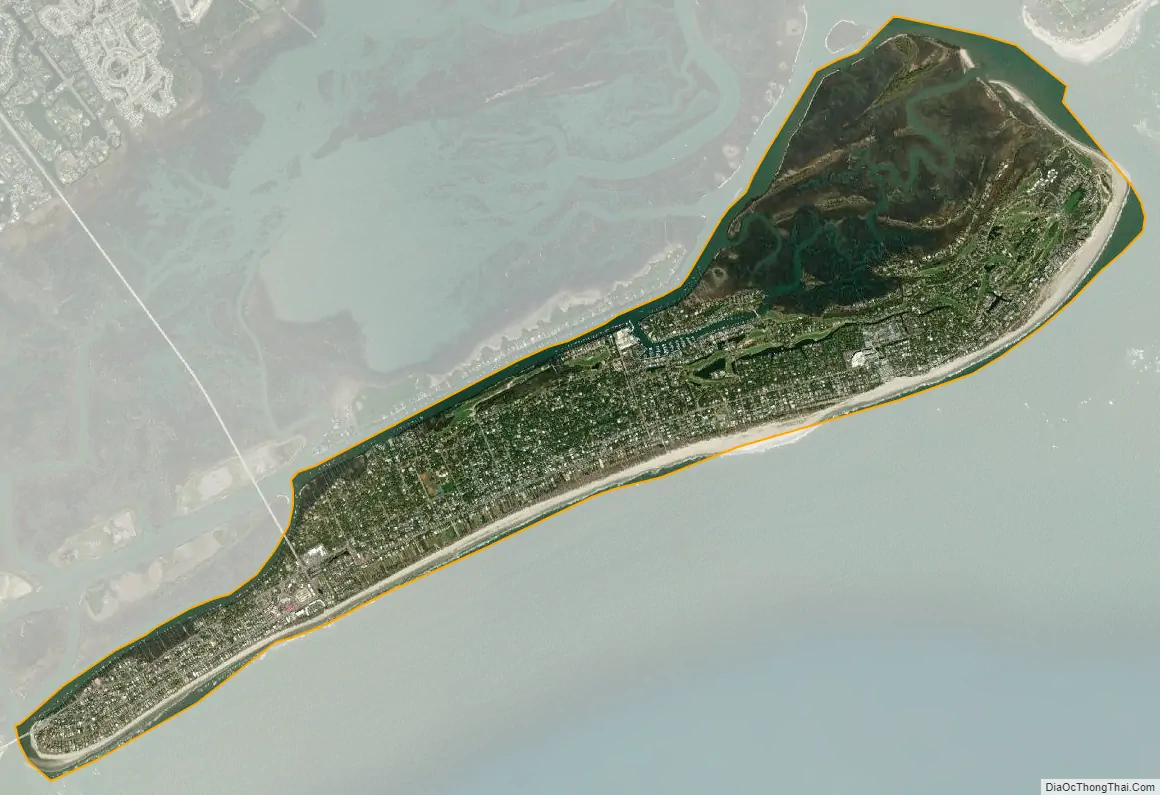
Isle of Palms city Satellite Map
Geography
Isle of Palms is located along the Atlantic Ocean, 15 miles (24 km) by road east of downtown Charleston. According to the United States Census Bureau, the city of Isle of Palms has a total area of 5.4 square miles (14.1 km), of which 4.4 square miles (11.5 km) is land, and 1.0 square mile (2.6 km) (18.40%) is water.
See also
Map of South Carolina State and its subdivision:- Abbeville
- Aiken
- Allendale
- Anderson
- Bamberg
- Barnwell
- Beaufort
- Berkeley
- Calhoun
- Charleston
- Cherokee
- Chester
- Chesterfield
- Clarendon
- Colleton
- Darlington
- Dillon
- Dorchester
- Edgefield
- Fairfield
- Florence
- Georgetown
- Greenville
- Greenwood
- Hampton
- Horry
- Jasper
- Kershaw
- Lancaster
- Laurens
- Lee
- Lexington
- Marion
- Marlboro
- McCormick
- Newberry
- Oconee
- Orangeburg
- Pickens
- Richland
- Saluda
- Spartanburg
- Sumter
- Union
- Williamsburg
- York
- Alabama
- Alaska
- Arizona
- Arkansas
- California
- Colorado
- Connecticut
- Delaware
- District of Columbia
- Florida
- Georgia
- Hawaii
- Idaho
- Illinois
- Indiana
- Iowa
- Kansas
- Kentucky
- Louisiana
- Maine
- Maryland
- Massachusetts
- Michigan
- Minnesota
- Mississippi
- Missouri
- Montana
- Nebraska
- Nevada
- New Hampshire
- New Jersey
- New Mexico
- New York
- North Carolina
- North Dakota
- Ohio
- Oklahoma
- Oregon
- Pennsylvania
- Rhode Island
- South Carolina
- South Dakota
- Tennessee
- Texas
- Utah
- Vermont
- Virginia
- Washington
- West Virginia
- Wisconsin
- Wyoming