Ladson is a census-designated place (CDP) in Berkeley, Charleston and Dorchester counties in the U.S. state of South Carolina. The population was 13,790 at the 2010 census. It is named in honor of the Ladson family, one of the oldest planter and merchant families in the Charleston area; one of its members was lieutenant governor James Ladson.
| Name: | Ladson CDP |
|---|---|
| LSAD Code: | 57 |
| LSAD Description: | CDP (suffix) |
| State: | South Carolina |
| County: | Berkeley County, Charleston County |
| Founded: | 1905 |
| Elevation: | 49 ft (15 m) |
| Total Area: | 7.03 sq mi (18.21 km²) |
| Land Area: | 7.03 sq mi (18.21 km²) |
| Water Area: | 0.00 sq mi (0.00 km²) |
| Total Population: | 15,550 |
| Population Density: | 2,211.32/sq mi (853.85/km²) |
| ZIP code: | 29456 |
| Area code: | 843 and 854 |
| FIPS code: | 4539220 |
| GNISfeature ID: | 1246274 |
Online Interactive Map
Click on ![]() to view map in "full screen" mode.
to view map in "full screen" mode.
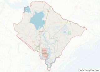
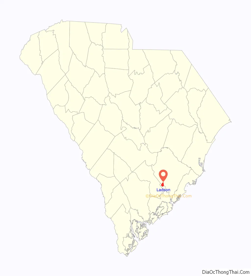
Ladson location map. Where is Ladson CDP?

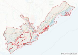
Ladson Road Map
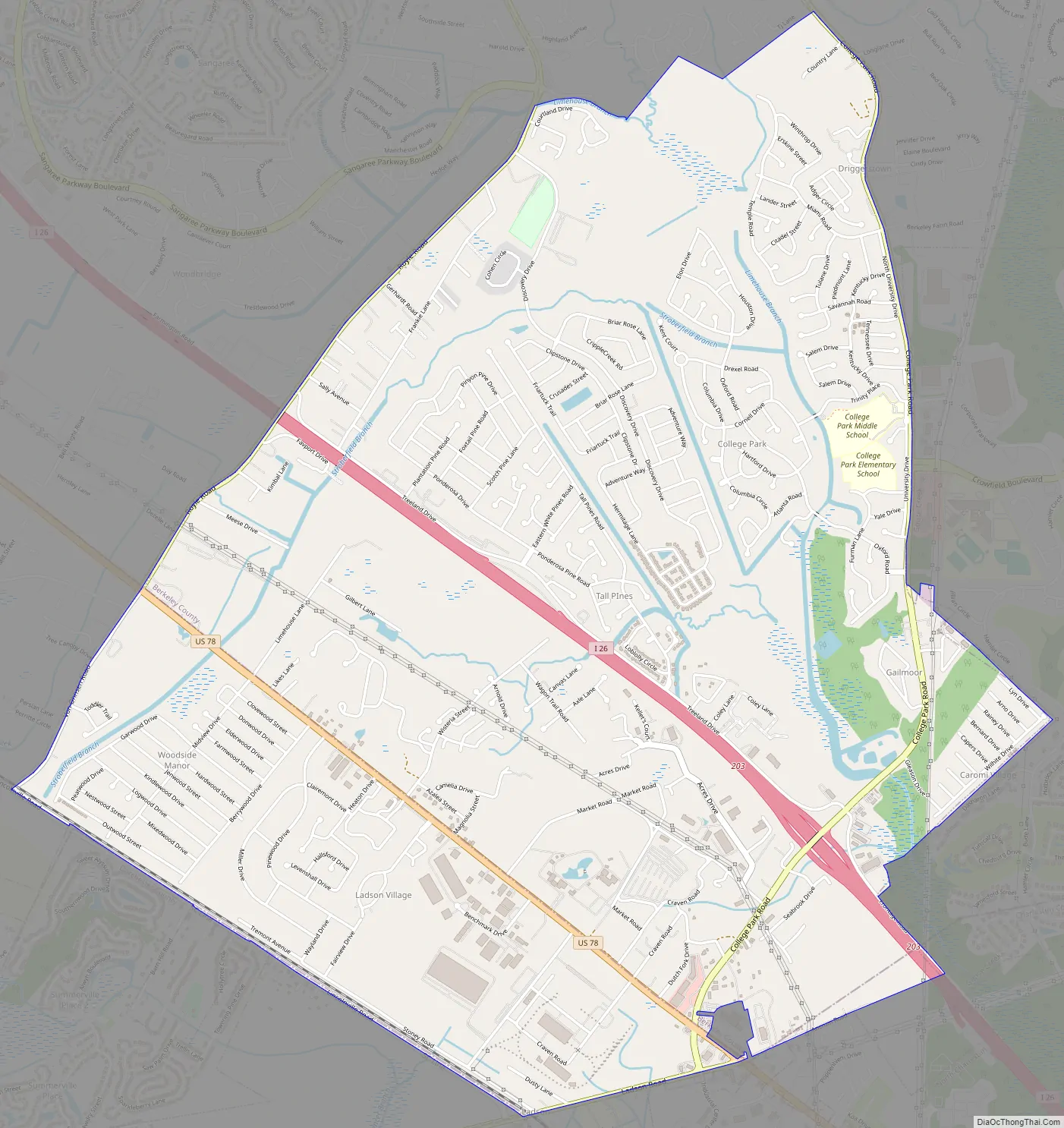
Ladson city Satellite Map

Geography
Ladson is located in southwestern Berkeley County, northern Charleston County, and southeastern Dorchester County at 33°0′34″N 80°6′20″W / 33.00944°N 80.10556°W / 33.00944; -80.10556 (33.009563, -80.105553). It is bordered to the southwest by the town of Summerville, to the south by the city of North Charleston, to the east by the city of Goose Creek, and to the northwest by Sangaree, a census-designated place.
U.S. Route 78 and Interstate 26 run parallel through Ladson, with Exit 203 providing access from I-26. Downtown Charleston is 20 miles (32 km) to the southeast, and Columbia is 97 miles (156 km) to the northwest.
According to the United States Census Bureau, the CDP has a total area of 7.0 square miles (18.2 km), all land. This is a decrease from 8.6 square miles (22.3 km) at the 2000 census, due to annexations of portions of the area into Summerville and North Charleston.
See also
Map of South Carolina State and its subdivision:- Abbeville
- Aiken
- Allendale
- Anderson
- Bamberg
- Barnwell
- Beaufort
- Berkeley
- Calhoun
- Charleston
- Cherokee
- Chester
- Chesterfield
- Clarendon
- Colleton
- Darlington
- Dillon
- Dorchester
- Edgefield
- Fairfield
- Florence
- Georgetown
- Greenville
- Greenwood
- Hampton
- Horry
- Jasper
- Kershaw
- Lancaster
- Laurens
- Lee
- Lexington
- Marion
- Marlboro
- McCormick
- Newberry
- Oconee
- Orangeburg
- Pickens
- Richland
- Saluda
- Spartanburg
- Sumter
- Union
- Williamsburg
- York
- Alabama
- Alaska
- Arizona
- Arkansas
- California
- Colorado
- Connecticut
- Delaware
- District of Columbia
- Florida
- Georgia
- Hawaii
- Idaho
- Illinois
- Indiana
- Iowa
- Kansas
- Kentucky
- Louisiana
- Maine
- Maryland
- Massachusetts
- Michigan
- Minnesota
- Mississippi
- Missouri
- Montana
- Nebraska
- Nevada
- New Hampshire
- New Jersey
- New Mexico
- New York
- North Carolina
- North Dakota
- Ohio
- Oklahoma
- Oregon
- Pennsylvania
- Rhode Island
- South Carolina
- South Dakota
- Tennessee
- Texas
- Utah
- Vermont
- Virginia
- Washington
- West Virginia
- Wisconsin
- Wyoming