Furman is a town in Hampton County, South Carolina, United States. The population was 224 at the 2020 census, down from 239 at the 2010 census. It is not to be confused with Furman University, which is in Greenville, South Carolina.
| Name: | Furman town |
|---|---|
| LSAD Code: | 43 |
| LSAD Description: | town (suffix) |
| State: | South Carolina |
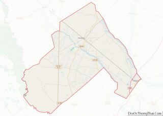
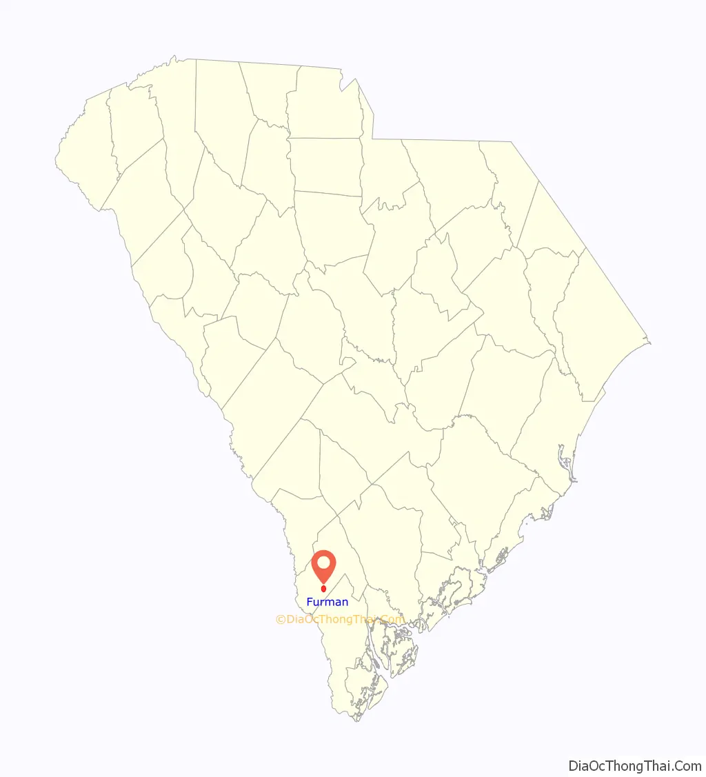
| County: | Hampton County |
| Elevation: | 115 ft (35 m) |
| Total Area: | 3.12 sq mi (8.07 km²) |
| Land Area: | 3.12 sq mi (8.07 km²) |
| Water Area: | 0.00 sq mi (0.00 km²) |
| Total Population: | 224 |
| Population Density: | 71.84/sq mi (27.74/km²) |
| ZIP code: | 29921 |
| Area code: | 803 and 839 |
| FIPS code: | 4527835 |
| GNISfeature ID: | 1247850 |
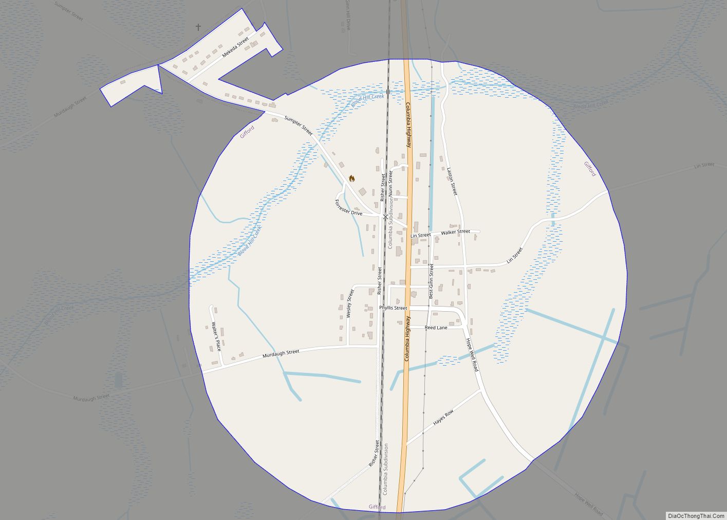
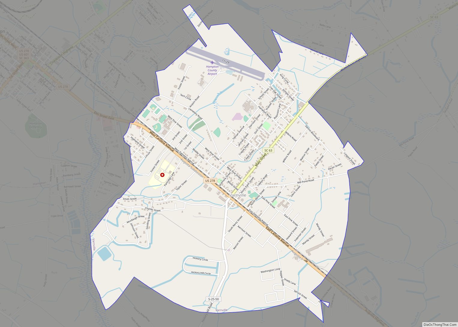
Online Interactive Map
Click on ![]() to view map in "full screen" mode.
to view map in "full screen" mode.
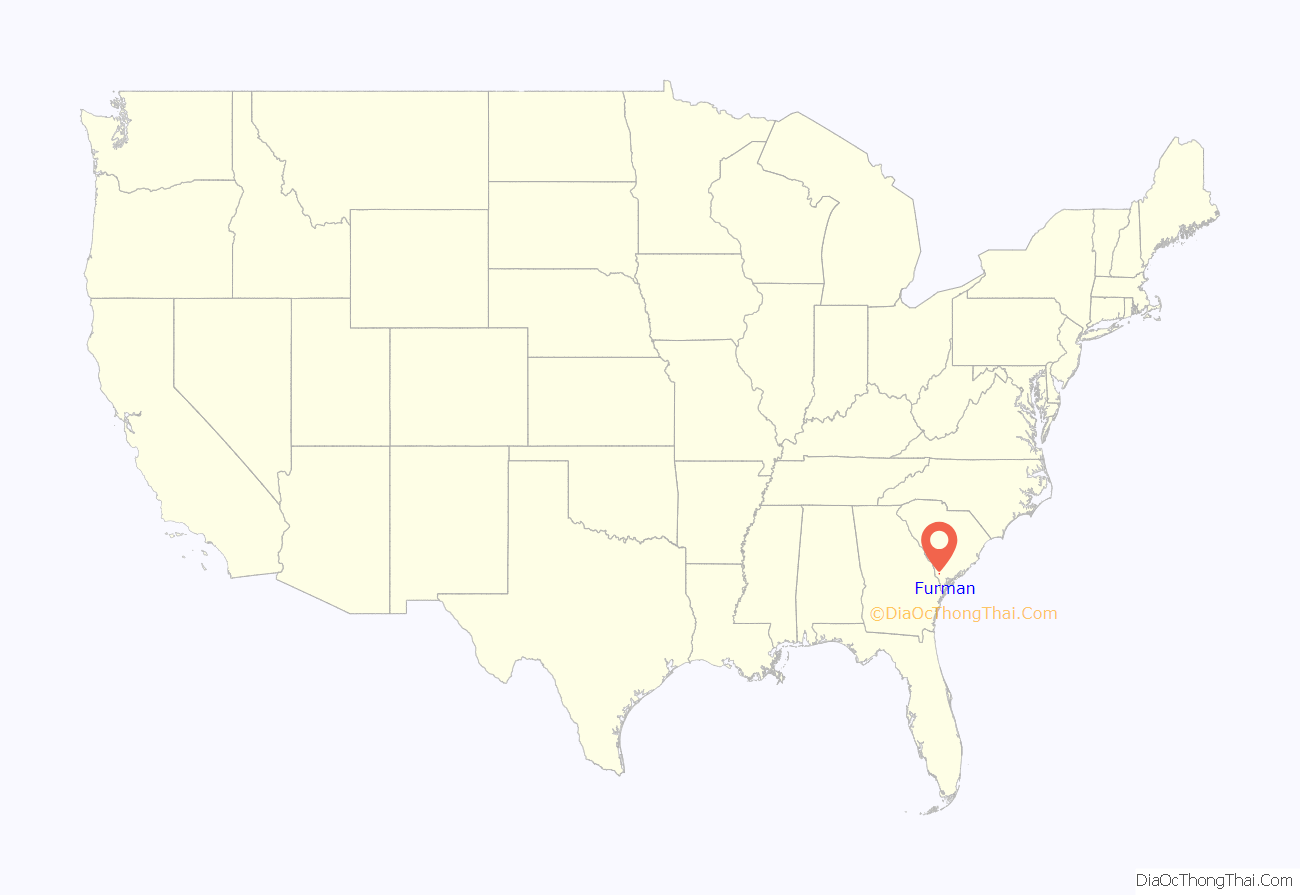
Furman location map. Where is Furman town?
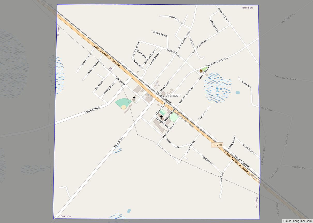
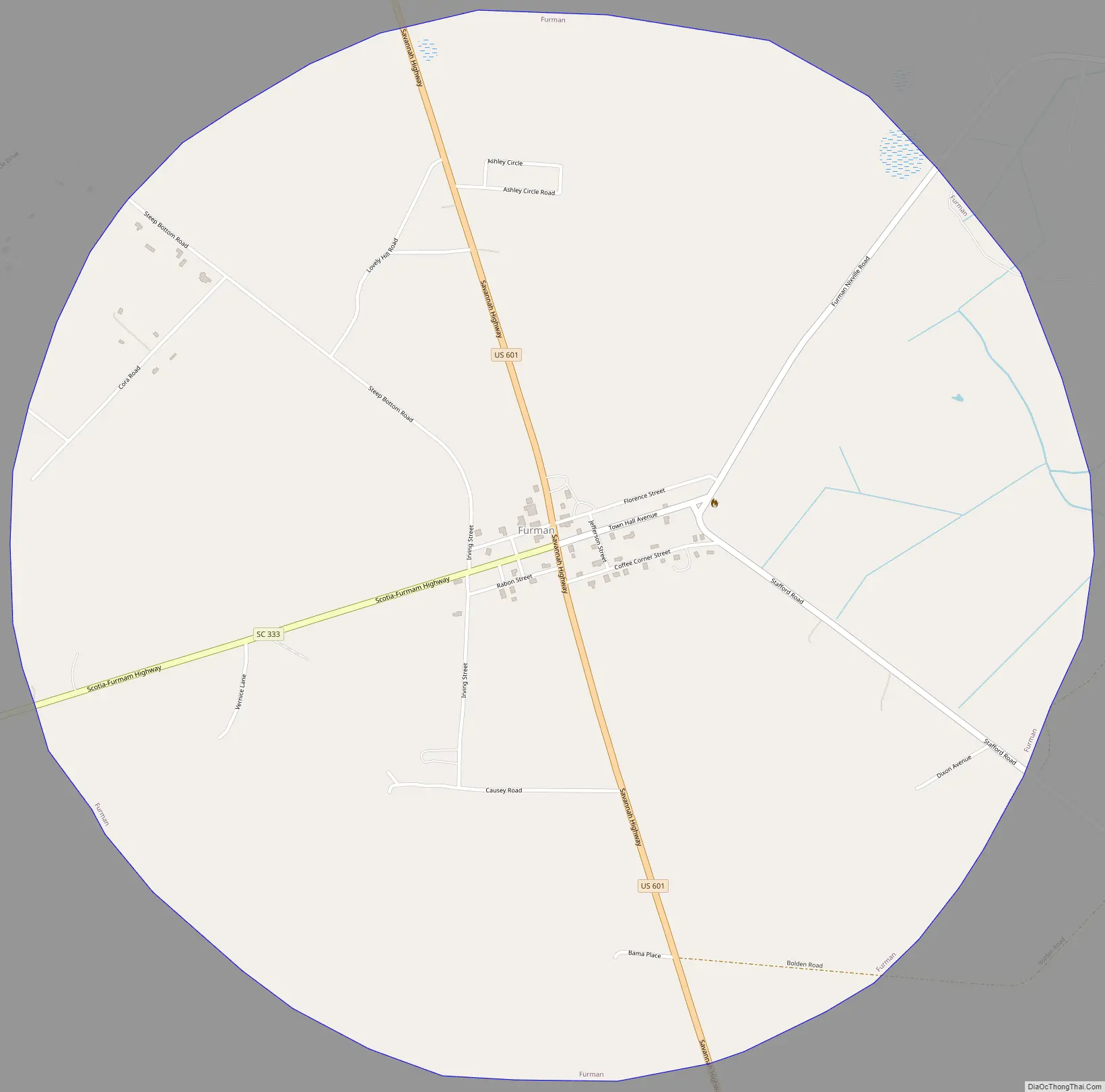
Furman Road Map
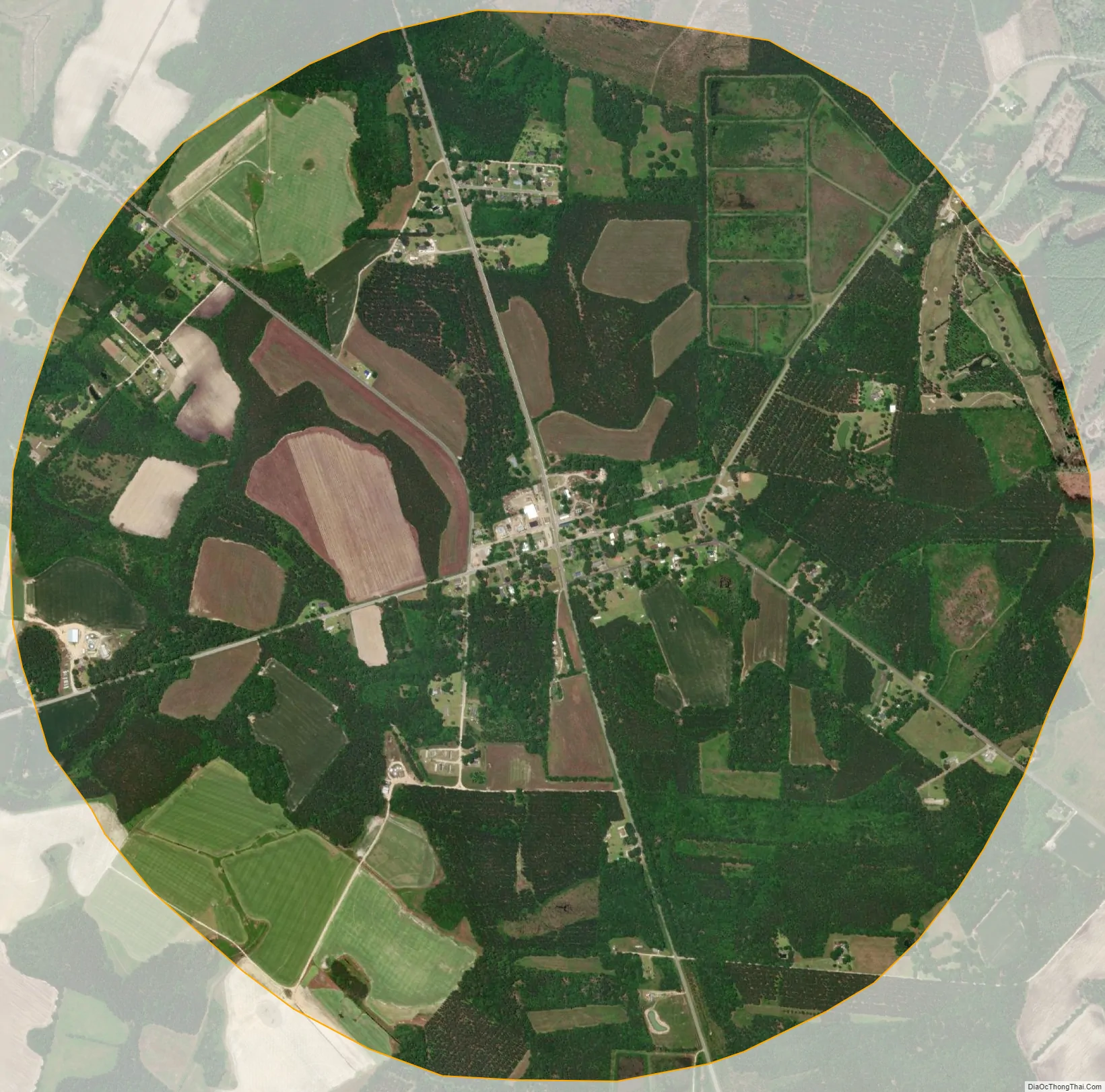
Furman city Satellite Map
Geography
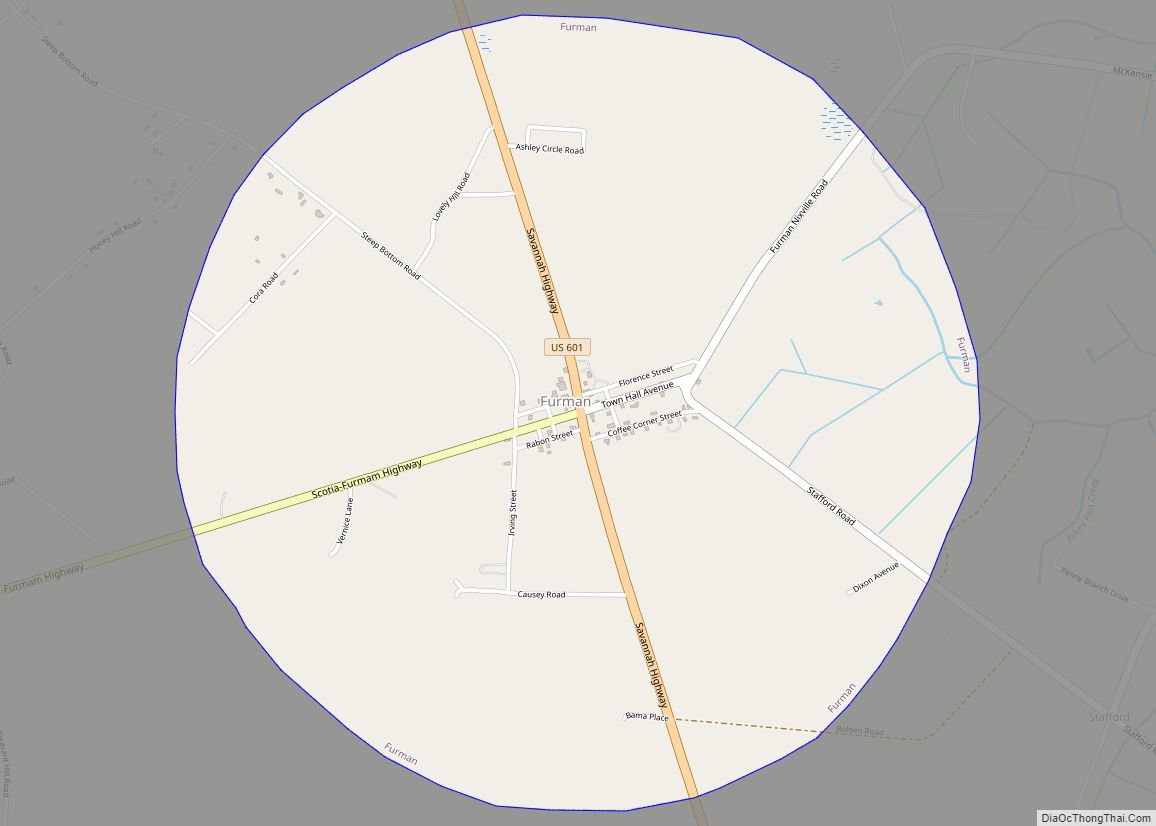
Furman is located in southwestern Hampton County at 32°40′52″N 81°11′16″W / 32.68111°N 81.18778°W / 32.68111; -81.18778 (32.681247, -81.187705). U.S. Route 601 (Savannah Highway) passes through the town center, leading north 14 miles (23 km) to Hampton, the county seat, and south 9 miles (14 km) to its terminus at U.S. Route 321. Hardeeville is 28 miles (45 km) south of Furman, and Savannah, Georgia, is 45 miles (72 km) to the south.
According to the United States Census Bureau, Furman has a total area of 3.1 square miles (8.1 km), all land.
See also
Map of South Carolina State and its subdivision:- Abbeville
- Aiken
- Allendale
- Anderson
- Bamberg
- Barnwell
- Beaufort
- Berkeley
- Calhoun
- Charleston
- Cherokee
- Chester
- Chesterfield
- Clarendon
- Colleton
- Darlington
- Dillon
- Dorchester
- Edgefield
- Fairfield
- Florence
- Georgetown
- Greenville
- Greenwood
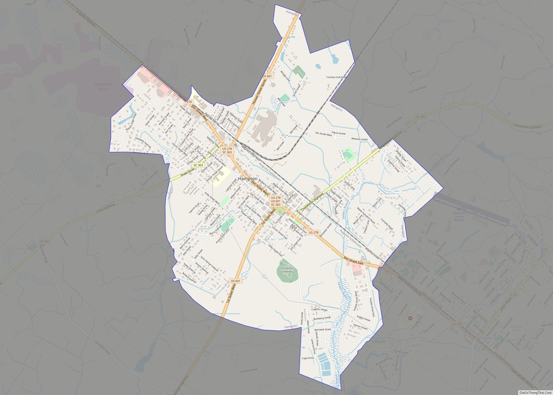
- Hampton
- Horry
- Jasper
- Kershaw
- Lancaster
- Laurens
- Lee
- Lexington
- Marion
- Marlboro
- McCormick
- Newberry
- Oconee
- Orangeburg
- Pickens
- Richland
- Saluda
- Spartanburg
- Sumter
- Union
- Williamsburg
- York
- Alabama
- Alaska
- Arizona
- Arkansas
- California
- Colorado
- Connecticut
- Delaware
- District of Columbia
- Florida
- Georgia
- Hawaii
- Idaho
- Illinois
- Indiana
- Iowa
- Kansas
- Kentucky
- Louisiana
- Maine
- Maryland
- Massachusetts
- Michigan
- Minnesota
- Mississippi
- Missouri
- Montana
- Nebraska
- Nevada
- New Hampshire
- New Jersey
- New Mexico
- New York
- North Carolina
- North Dakota
- Ohio
- Oklahoma
- Oregon
- Pennsylvania
- Rhode Island
- South Carolina
- South Dakota
- Tennessee
- Texas
- Utah
- Vermont
- Virginia
- Washington
- West Virginia
- Wisconsin
- Wyoming