Varnville is a town in Hampton County, South Carolina, United States. The population was 2,162 as of the 2010 census. Varnville forms a twin town with Hampton, the county seat; the two towns often share civic and cultural events.
| Name: | Varnville town |
|---|---|
| LSAD Code: | 43 |
| LSAD Description: | town (suffix) |
| State: | South Carolina |
| County: | Hampton County |
| Elevation: | 108 ft (33 m) |
| Total Area: | 3.83 sq mi (9.93 km²) |
| Land Area: | 3.83 sq mi (9.93 km²) |
| Water Area: | 0.00 sq mi (0.00 km²) |
| Total Population: | 1,669 |
| Population Density: | 435.54/sq mi (168.15/km²) |
| ZIP code: | 29944 |
| Area code: | 803, 839 |
| FIPS code: | 4573600 |
| GNISfeature ID: | 1251290 |
| Website: | www.varnvillesc.org |
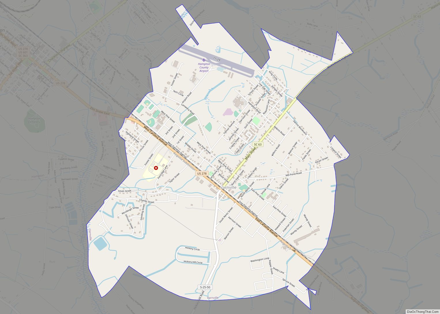
Online Interactive Map
Click on ![]() to view map in "full screen" mode.
to view map in "full screen" mode.
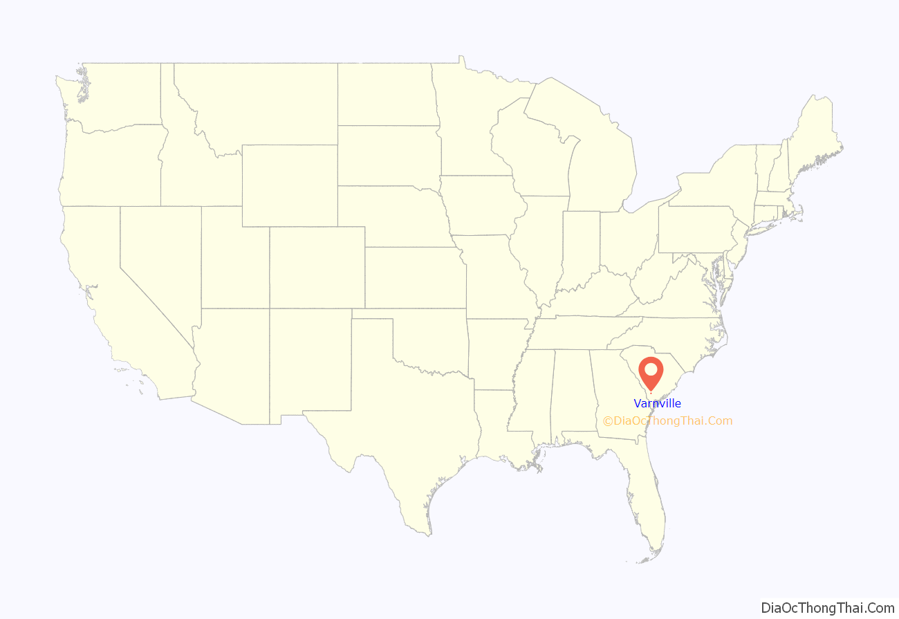
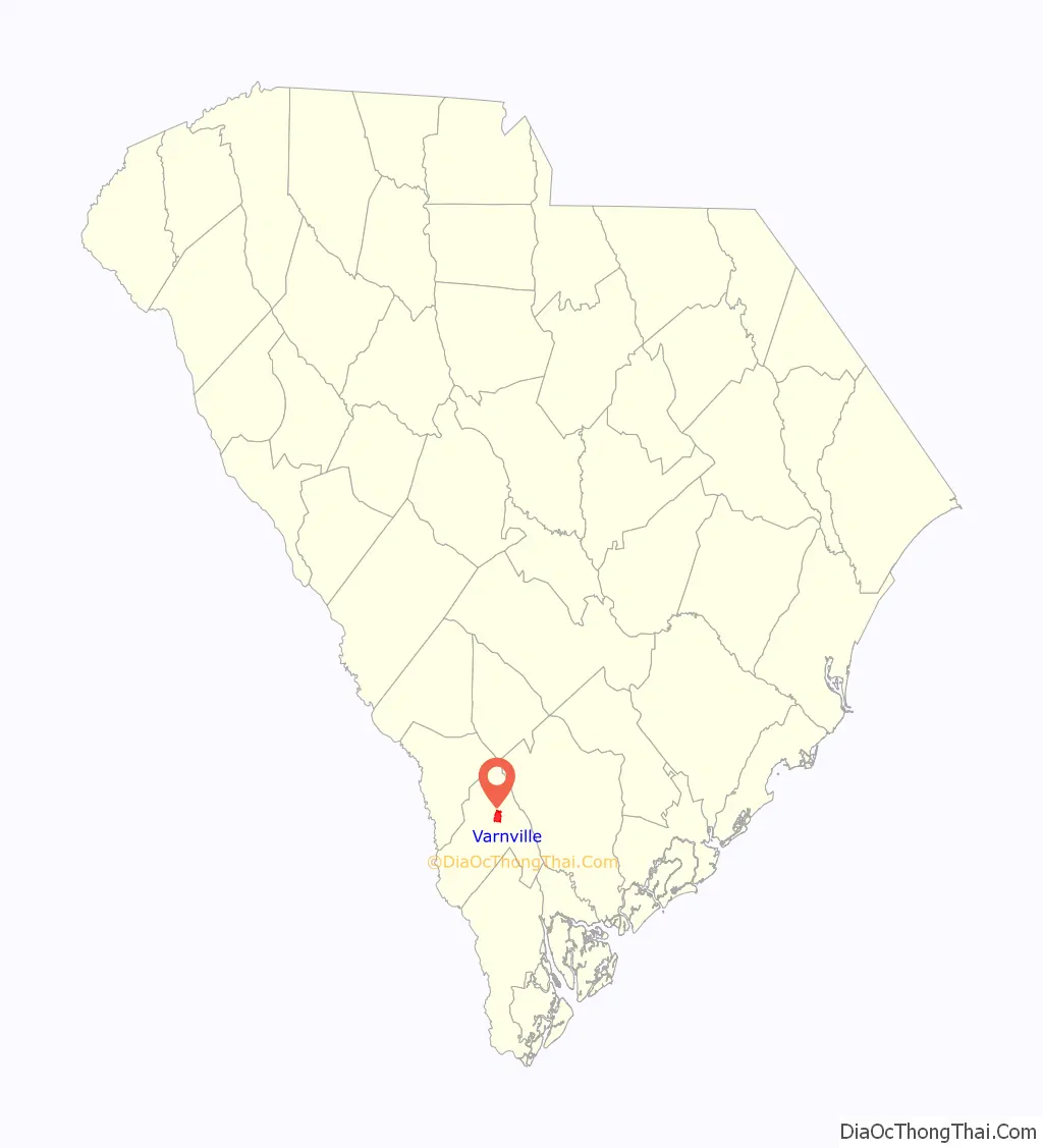
Varnville location map. Where is Varnville town?
History
Varnville was founded by the Varn Brothers, who sold the right-of-way for railroad tracks through their sawmill in 1872, prior to Hampton County’s founding. In 1878, Hampton County was created from Beaufort County, and the site for the county seat was located 3 miles (5 km) northwest of Varnville, eventually becoming the town of Hampton. Varnville grew as a result of its close proximity to the county seat as well as its connections with surrounding agricultural areas. In 1993, several scenes from the film Forrest Gump were shot in Varnville, of which some were used to create the fictional town of Greenbow, Alabama.
The Hattie J. Peeples House was listed on the National Register of Historic Places in 1992.
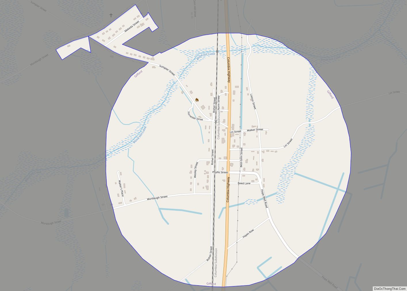
Varnville Road Map

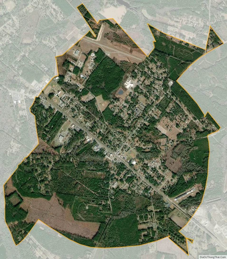
Varnville city Satellite Map
Geography
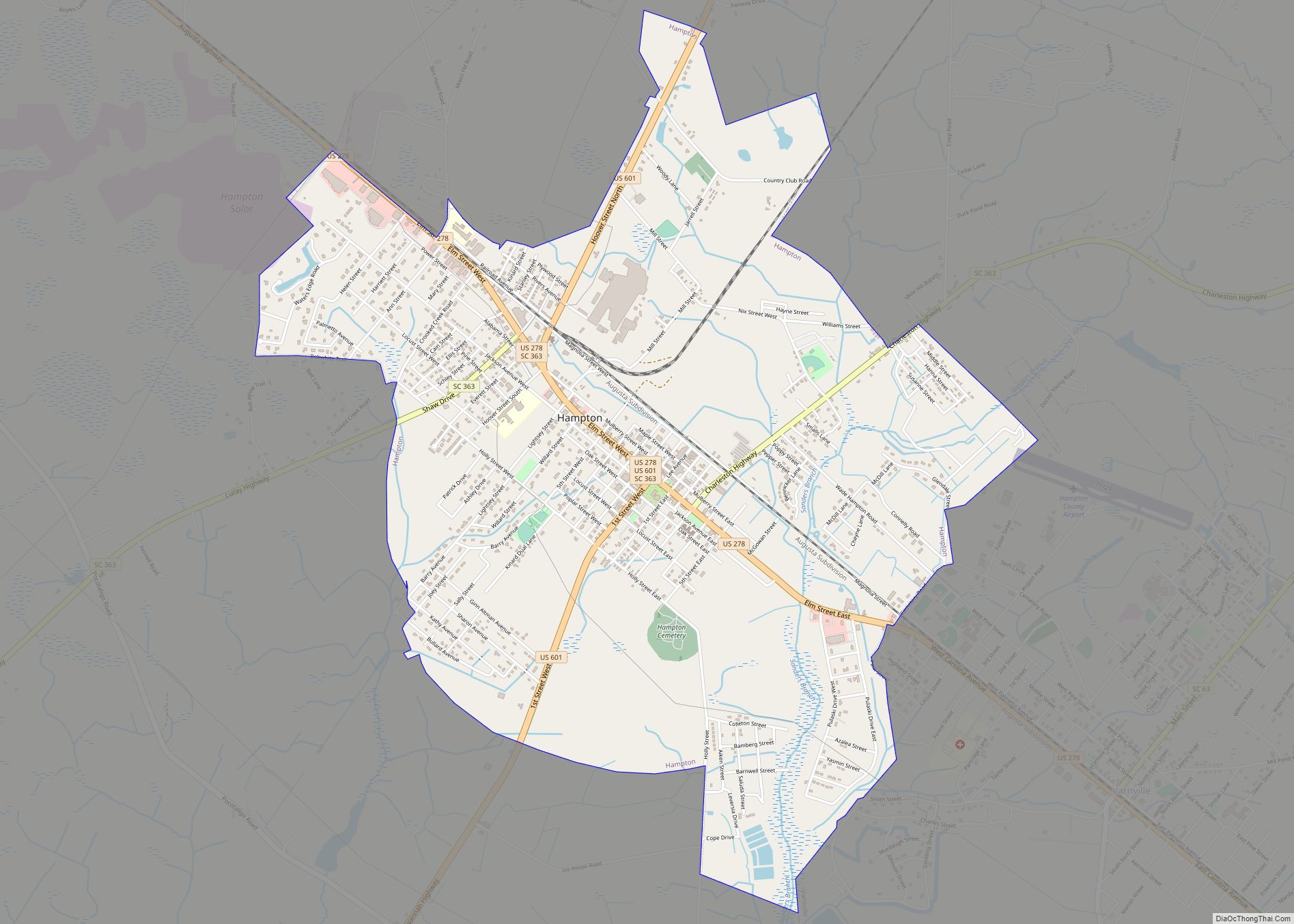
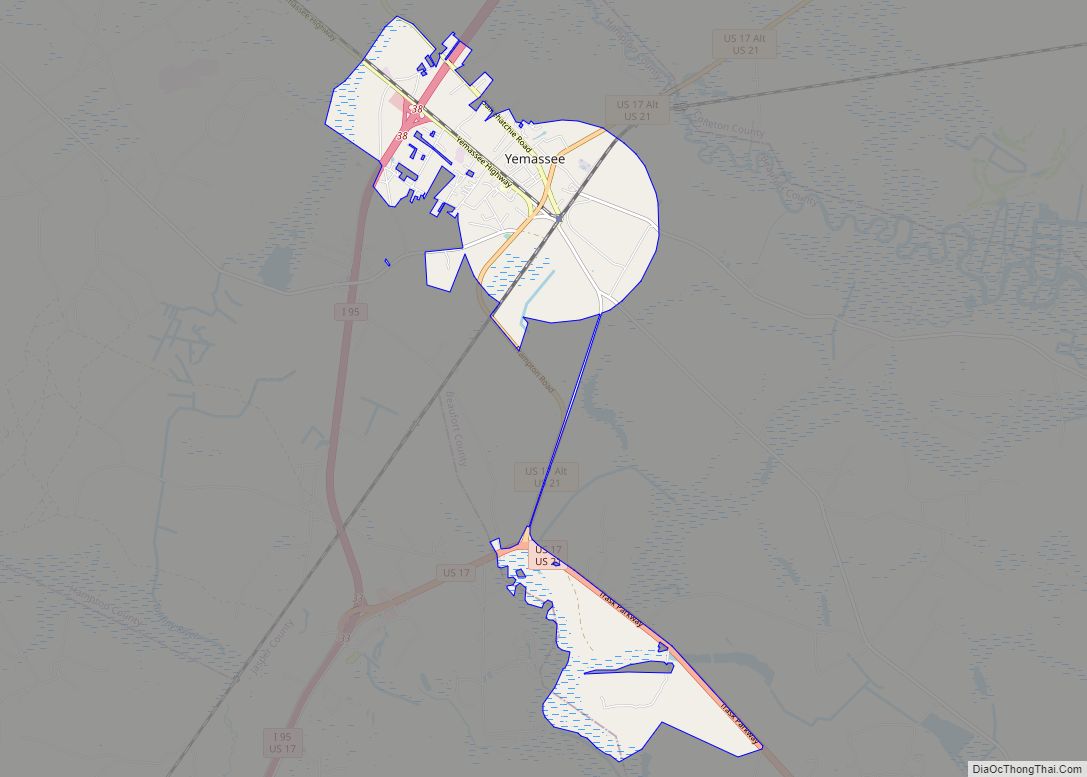
Varnville is located in north-central Hampton County at 32°51′9″N 81°4′46″W / 32.85250°N 81.07944°W / 32.85250; -81.07944 (32.852489, -81.079367). It is bordered to the northwest by the town of Hampton. U.S. Route 278 (Carolina Avenue) is the main street through the town, leading northwest into Hampton (where it becomes Elm Street) and south 28 miles (45 km) to Ridgeland. South Carolina Highway 63 leads east from Varnville 27 miles (43 km) to Walterboro. Yemassee is 17 miles (27 km) to the southeast via US 278 and SC 68.
According to the United States Census Bureau, Varnville has a total area of 3.8 square miles (9.9 km), all land.
See also
Map of South Carolina State and its subdivision:- Abbeville
- Aiken
- Allendale
- Anderson
- Bamberg
- Barnwell
- Beaufort
- Berkeley
- Calhoun
- Charleston
- Cherokee
- Chester
- Chesterfield
- Clarendon
- Colleton
- Darlington
- Dillon
- Dorchester
- Edgefield
- Fairfield
- Florence
- Georgetown
- Greenville
- Greenwood
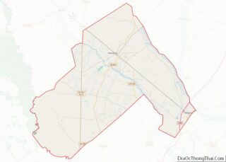
- Hampton
- Horry
- Jasper
- Kershaw
- Lancaster
- Laurens
- Lee
- Lexington
- Marion
- Marlboro
- McCormick
- Newberry
- Oconee
- Orangeburg
- Pickens
- Richland
- Saluda
- Spartanburg
- Sumter
- Union
- Williamsburg
- York
- Alabama
- Alaska
- Arizona
- Arkansas
- California
- Colorado
- Connecticut
- Delaware
- District of Columbia
- Florida
- Georgia
- Hawaii
- Idaho
- Illinois
- Indiana
- Iowa
- Kansas
- Kentucky
- Louisiana
- Maine
- Maryland
- Massachusetts
- Michigan
- Minnesota
- Mississippi
- Missouri
- Montana
- Nebraska
- Nevada
- New Hampshire
- New Jersey
- New Mexico
- New York
- North Carolina
- North Dakota
- Ohio
- Oklahoma
- Oregon
- Pennsylvania
- Rhode Island
- South Carolina
- South Dakota
- Tennessee
- Texas
- Utah
- Vermont
- Virginia
- Washington
- West Virginia
- Wisconsin
- Wyoming