Golden Grove is a census-designated place (CDP) in Greenville County, South Carolina, United States. The population was 2,467 at the 2010 census. It is part of the Greenville–Mauldin–Easley Metropolitan Statistical Area.
| Name: | Golden Grove CDP |
|---|---|
| LSAD Code: | 57 |
| LSAD Description: | CDP (suffix) |
| State: | South Carolina |
| County: | Greenville County |
| Elevation: | 866 ft (264 m) |
| Total Area: | 5.85 sq mi (15.15 km²) |
| Land Area: | 5.78 sq mi (14.96 km²) |
| Water Area: | 0.07 sq mi (0.19 km²) |
| Total Population: | 3,002 |
| Population Density: | 519.74/sq mi (200.67/km²) |
| ZIP code: | 29673 |
| Area code: | 864 |
| FIPS code: | 4529635 |
| GNISfeature ID: | 1231328 |
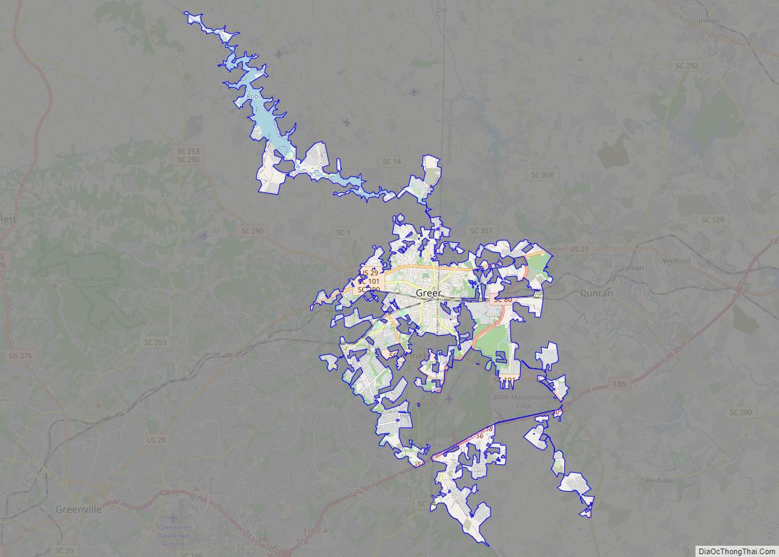
Online Interactive Map
Click on ![]() to view map in "full screen" mode.
to view map in "full screen" mode.
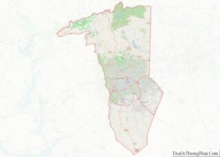
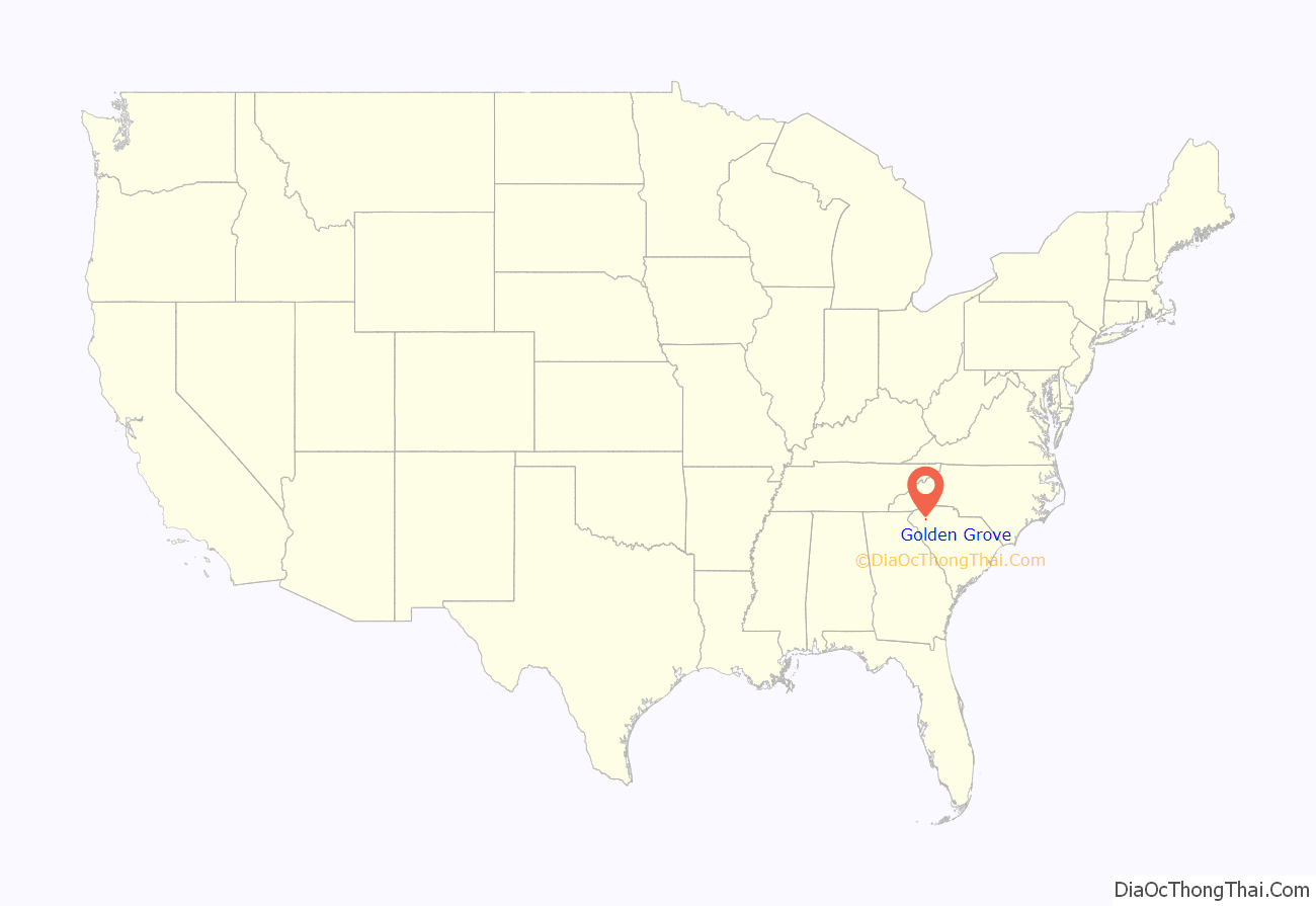
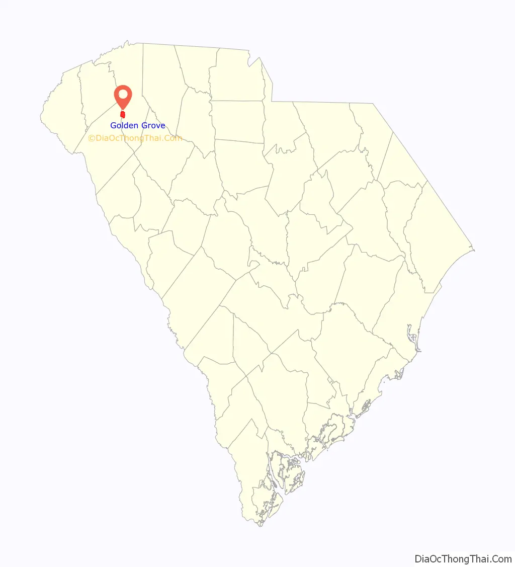
Golden Grove location map. Where is Golden Grove CDP?
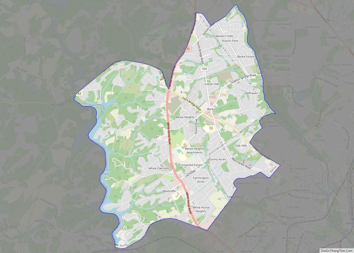
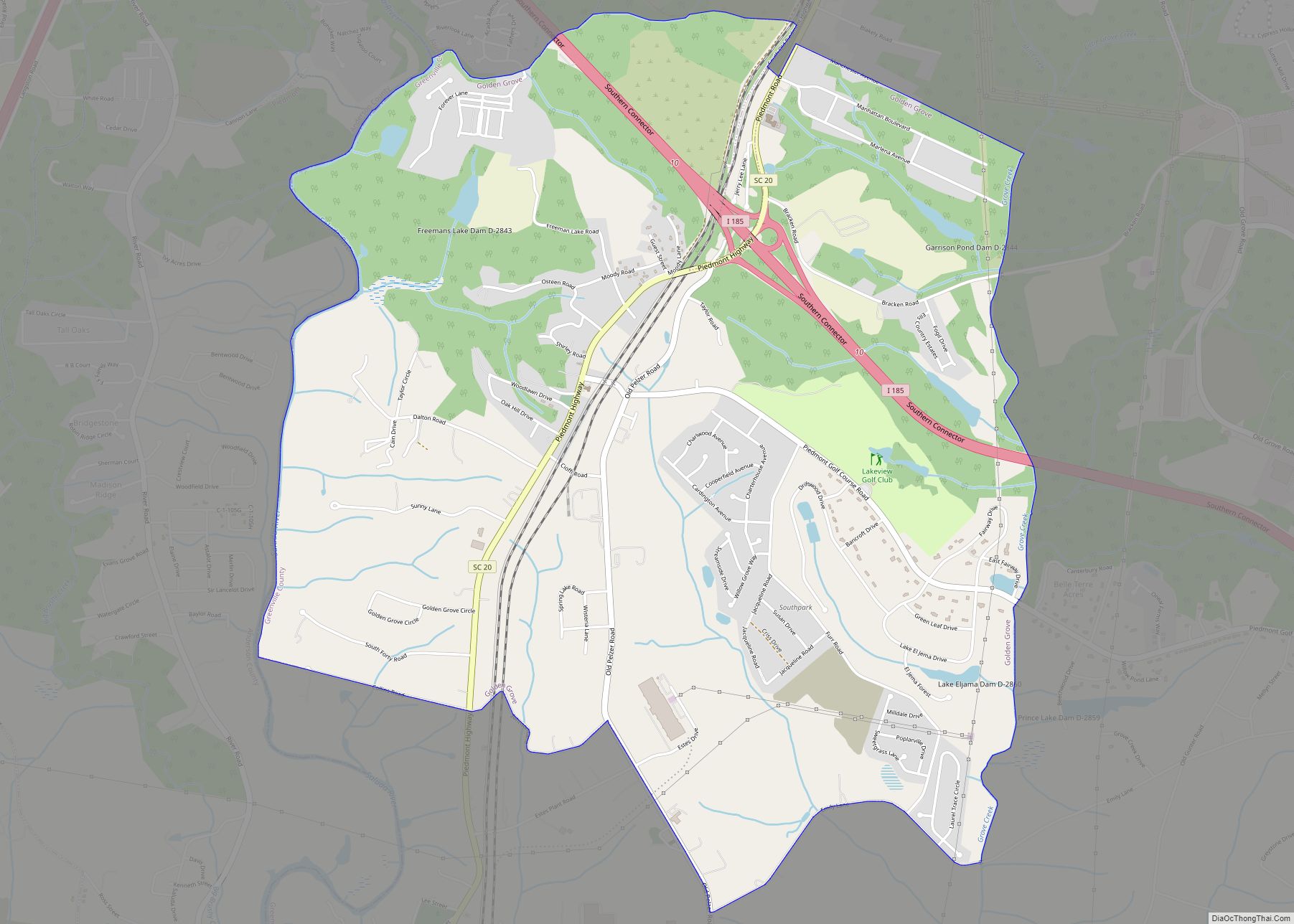
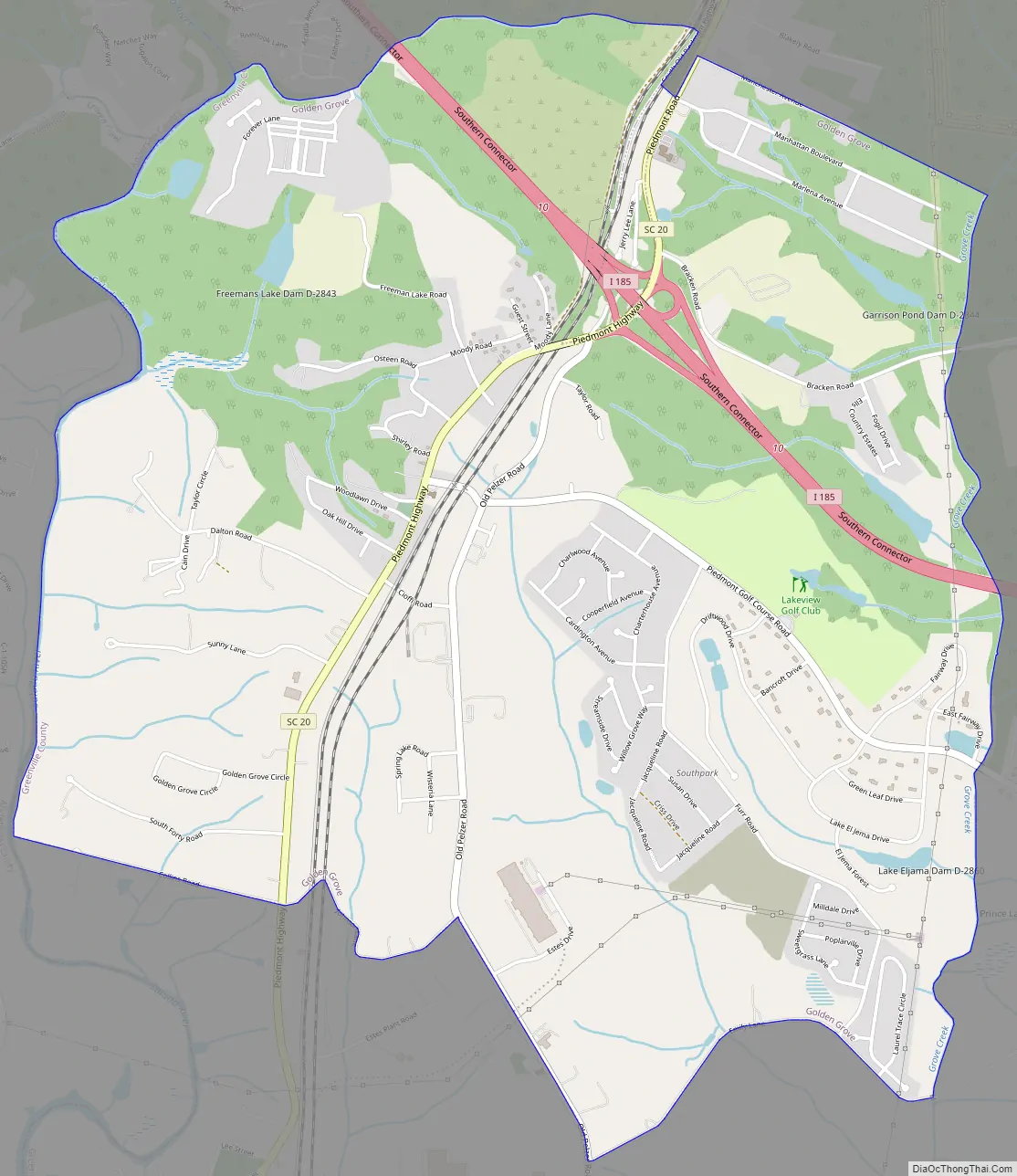
Golden Grove Road Map
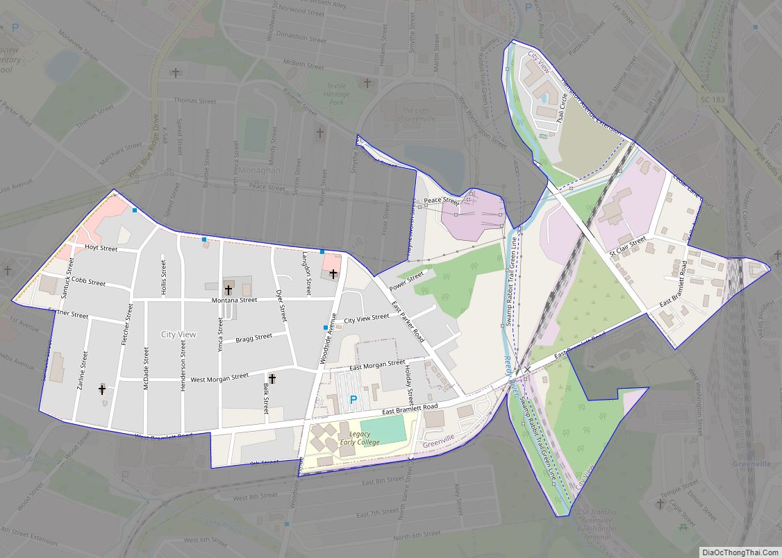
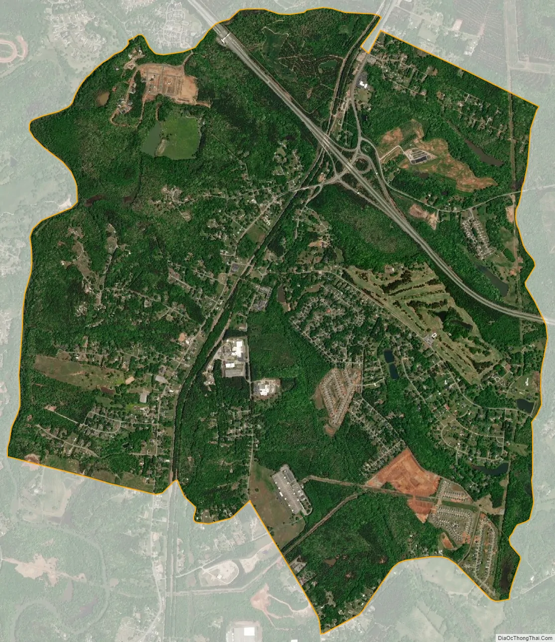
Golden Grove city Satellite Map
Geography
Golden Grove is located in western Greenville County at 34°43′50″N 82°26′20″W / 34.730689°N 82.439009°W / 34.730689; -82.439009. It is bordered to the south and west by the unincorporated community of Piedmont. The western edge of Golden Grove follows the Saluda River, which is the border with Anderson County.
The main road through Golden Grove is South Carolina Highway 20, which leads north 9 miles (14 km) to Greenville and south through Piedmont 16 miles (26 km) to Belton. Interstate 185 passes through the northern part of Golden Grove, crossing SC 20 at Exit 10. I-185 leads north 4 miles (6 km) to Interstate 85 and east 10 miles (16 km) to Interstate 385, forming part of a loop around the southern suburbs of Greenville.
According to the United States Census Bureau, the Golden Grove CDP has a total area of 5.8 square miles (15.0 km), of which 5.7 square miles (14.8 km) are land and 0.1 square miles (0.2 km), or 1.39%, are water.
See also
Map of South Carolina State and its subdivision:- Abbeville
- Aiken
- Allendale
- Anderson
- Bamberg
- Barnwell
- Beaufort
- Berkeley
- Calhoun
- Charleston
- Cherokee
- Chester
- Chesterfield
- Clarendon
- Colleton
- Darlington
- Dillon
- Dorchester
- Edgefield
- Fairfield
- Florence
- Georgetown
- Greenville
- Greenwood
- Hampton
- Horry
- Jasper
- Kershaw
- Lancaster
- Laurens
- Lee
- Lexington
- Marion
- Marlboro
- McCormick
- Newberry
- Oconee
- Orangeburg
- Pickens
- Richland
- Saluda
- Spartanburg
- Sumter
- Union
- Williamsburg
- York
- Alabama
- Alaska
- Arizona
- Arkansas
- California
- Colorado
- Connecticut
- Delaware
- District of Columbia
- Florida
- Georgia
- Hawaii
- Idaho
- Illinois
- Indiana
- Iowa
- Kansas
- Kentucky
- Louisiana
- Maine
- Maryland
- Massachusetts
- Michigan
- Minnesota
- Mississippi
- Missouri
- Montana
- Nebraska
- Nevada
- New Hampshire
- New Jersey
- New Mexico
- New York
- North Carolina
- North Dakota
- Ohio
- Oklahoma
- Oregon
- Pennsylvania
- Rhode Island
- South Carolina
- South Dakota
- Tennessee
- Texas
- Utah
- Vermont
- Virginia
- Washington
- West Virginia
- Wisconsin
- Wyoming