Piedmont is a census-designated place (CDP) along the Saluda River in Anderson and Greenville counties in the U.S. state of South Carolina. The population was 5,411 at the 2020 census.
Piedmont is a part of the Greenville-Anderson metropolitan area.
| Name: | Piedmont CDP |
|---|---|
| LSAD Code: | 57 |
| LSAD Description: | CDP (suffix) |
| State: | South Carolina |
| County: | Anderson County, Greenville County |
| Elevation: | 791 ft (241 m) |
| Total Area: | 8.78 sq mi (22.73 km²) |
| Land Area: | 8.60 sq mi (22.26 km²) |
| Water Area: | 0.18 sq mi (0.46 km²) |
| Total Population: | 5,411 |
| Population Density: | 629.48/sq mi (243.04/km²) |
| ZIP code: | 29673 |
| Area code: | 864 |
| FIPS code: | 4556365 |
| GNISfeature ID: | 1225406 |
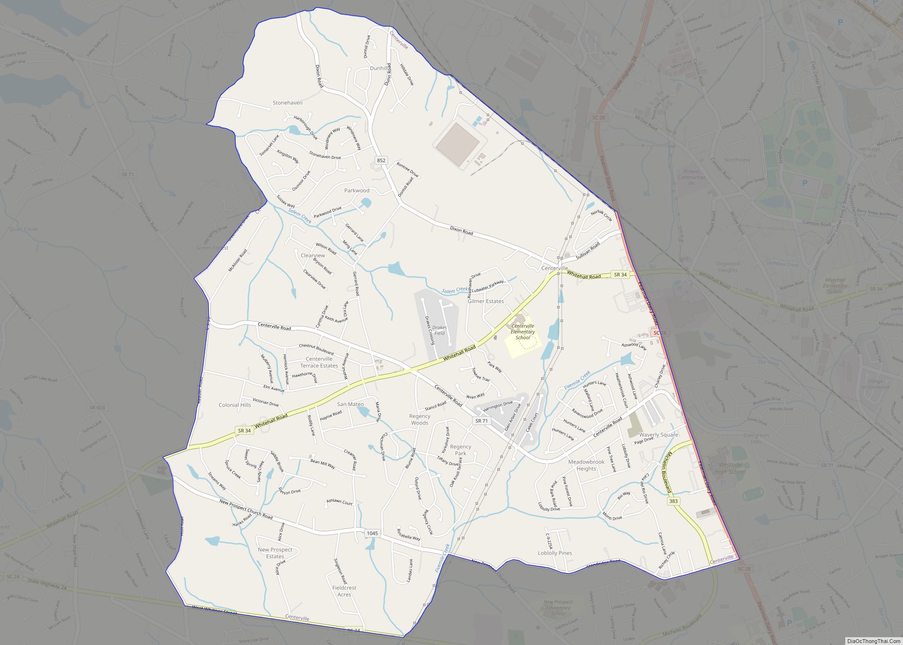
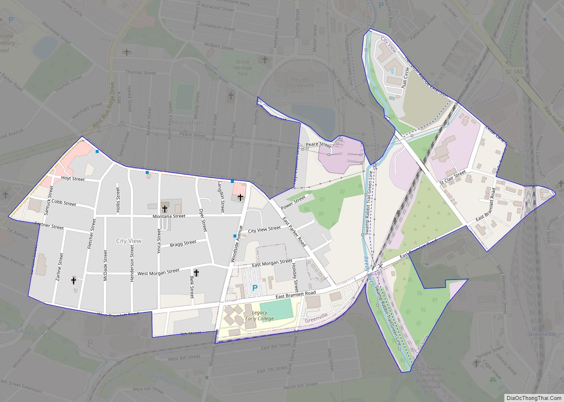
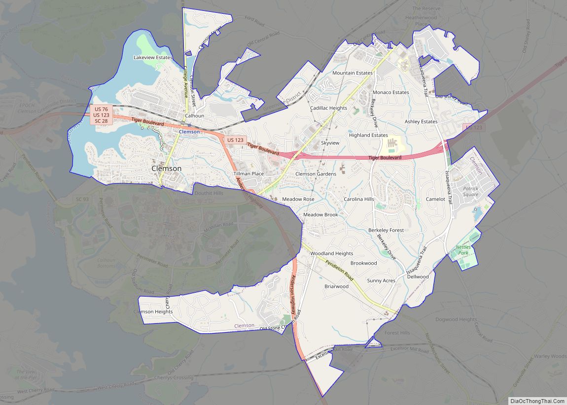
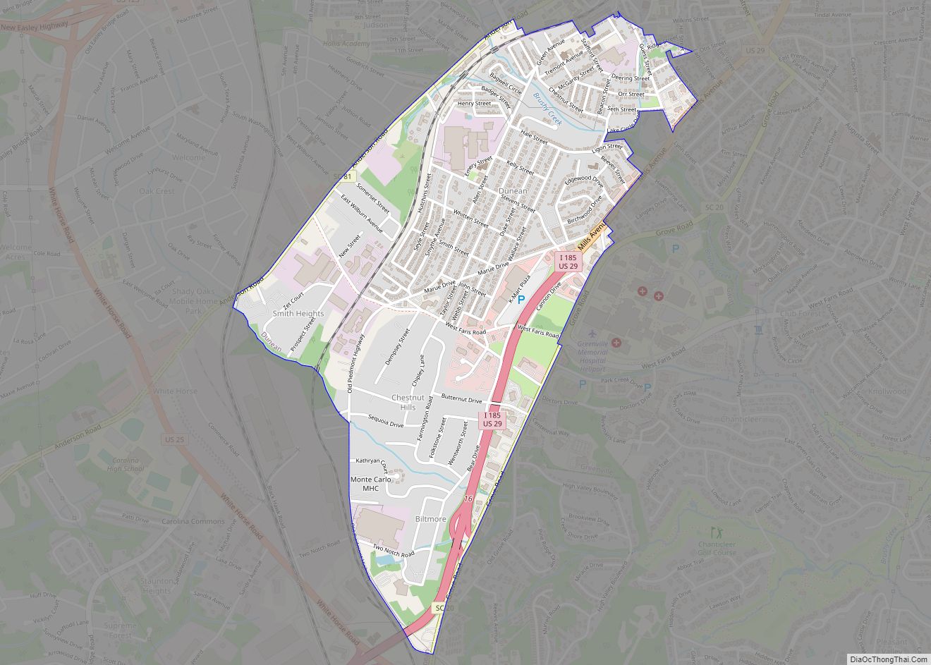
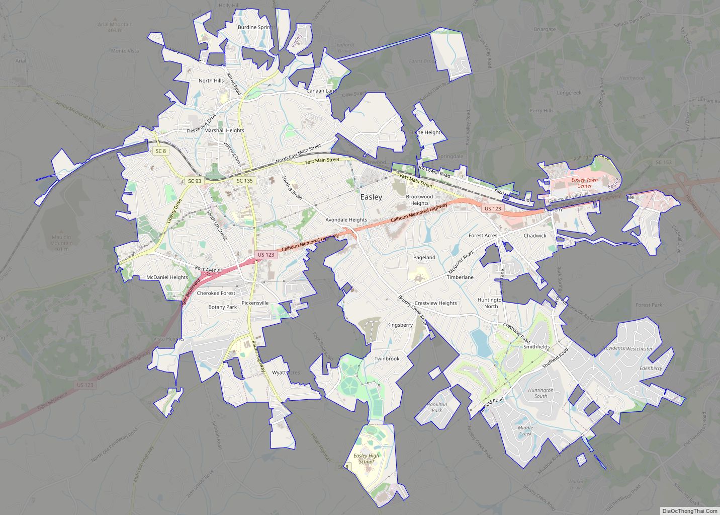
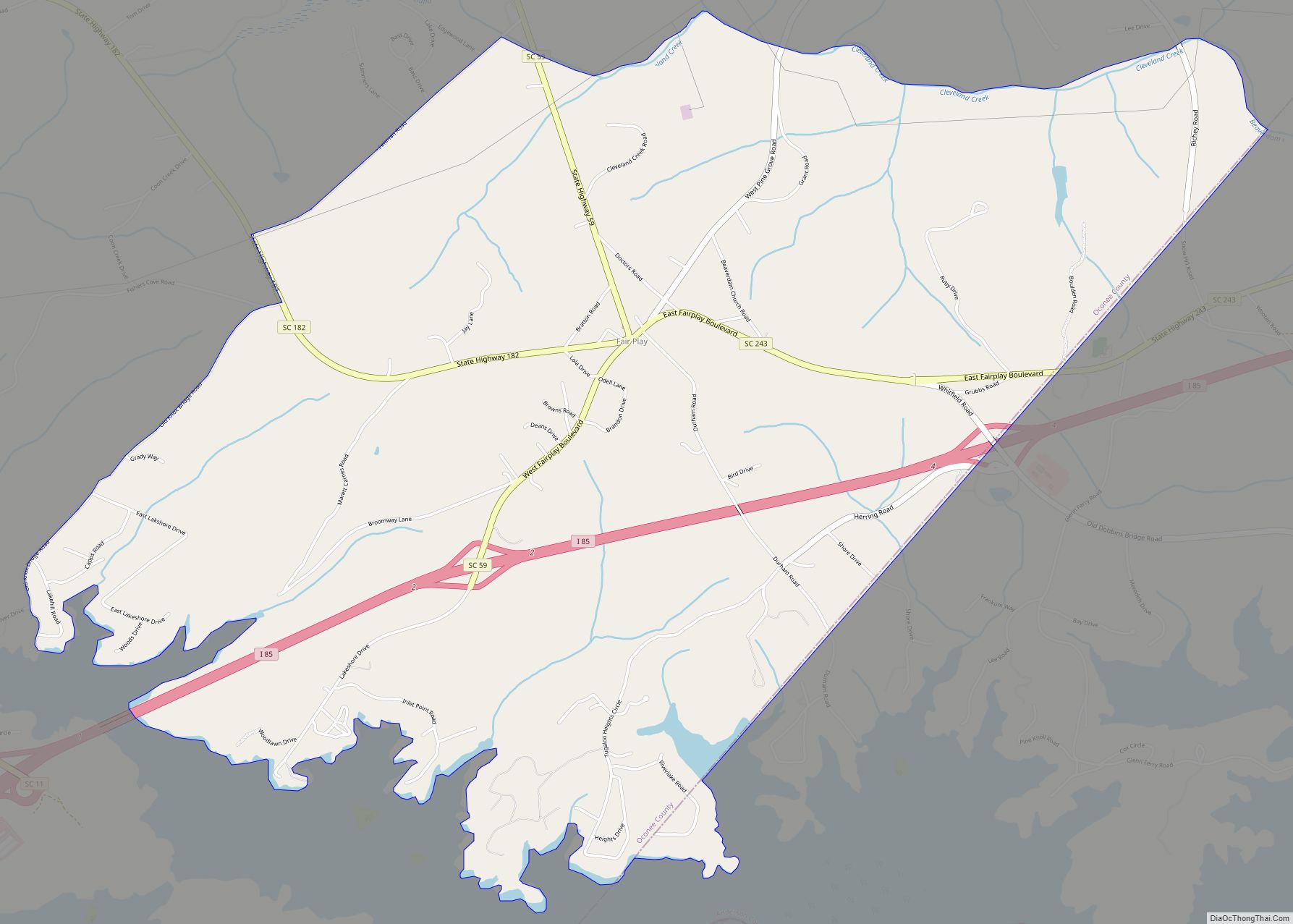
Online Interactive Map
Click on ![]() to view map in "full screen" mode.
to view map in "full screen" mode.
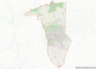
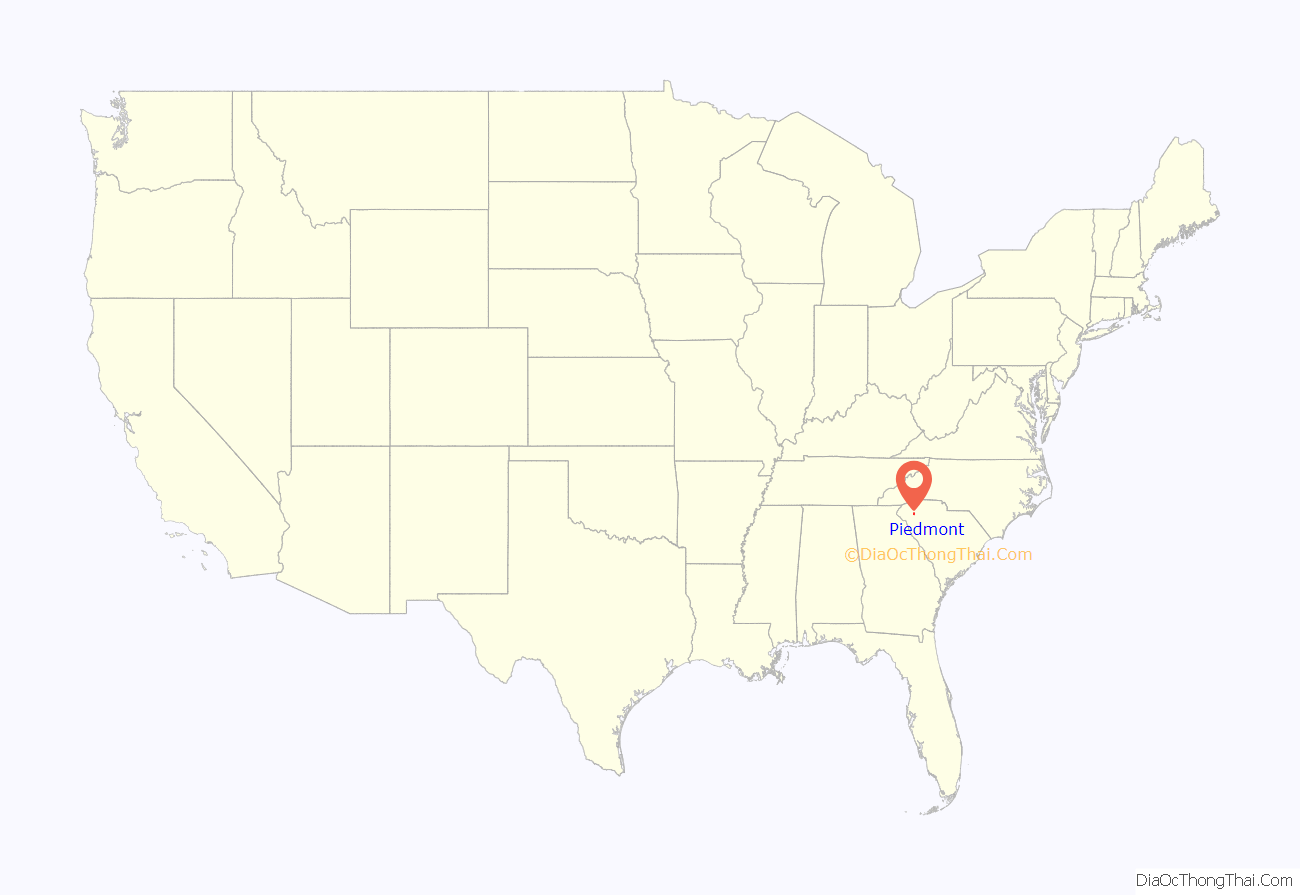
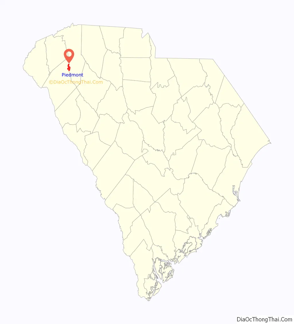
Piedmont location map. Where is Piedmont CDP?
History
Native Americans and early settlers of Piedmont called the area “Big Shoals of the Saluda” after the Saluda River. The Native Americans used the shoals as a crossing. David Garrison established a grist mill around 1850 upon the shoals changing the name of the area to Garrison Shoals. Henry Pinckney Hammett bought this property for his cotton mill that used water power of the shoals. The name of the area changed again to Piedmont, “foot of the Mountains” and became a mill town. The American Civil War disrupted Hammett’s project until 1876 when his plant began operations. Piedmont was added to Hammett’s charter for Piedmont Manufacturing Company and a railroad station. Water power from the Saluda River was also used to produce electricity to run the machinery from the 1880s to the 1920s. The machinery of the Piedmont Manufacturing Company was from Saco Lowell and Whitin Machine Works that helped finance Hammett’s company. In 1946 the mills were sold to J.P. Stevens and Company where it then was updated with modern features. Manufacturing continued until 1977 and in 1983 most of Piedmont Manufacturing Company burned down.
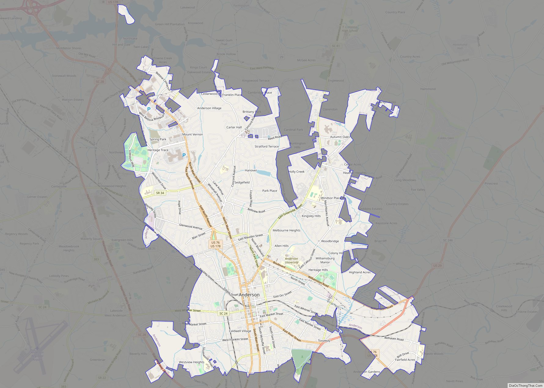
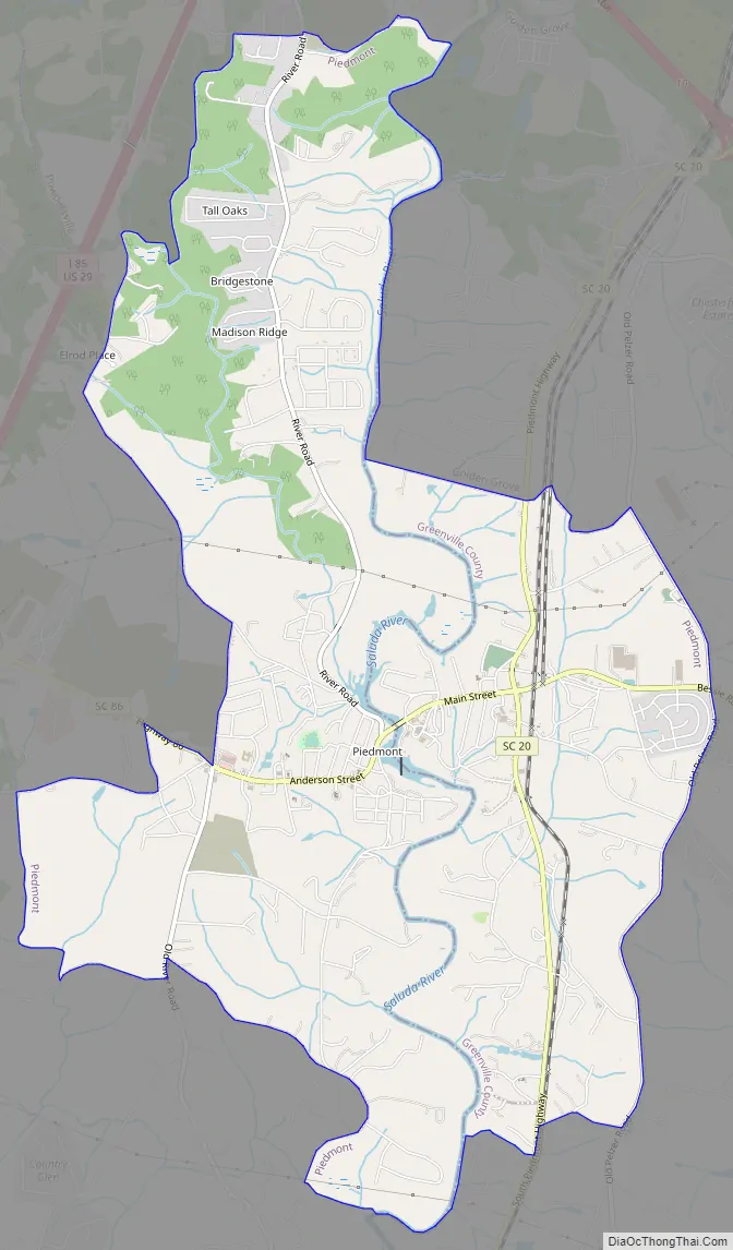
Piedmont Road Map
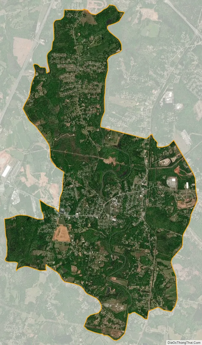
Piedmont city Satellite Map
Geography
Piedmont is located in northern Anderson County and southwestern Greenville County at 34°42′15″N 82°27′41″W / 34.70417°N 82.46139°W / 34.70417; -82.46139 (34.704140, -82.461427). It is 12 miles (19 km) south of the center of Greenville. Exit 35 on Interstate 85 is 2 miles (3 km) to the west of the center of Piedmont. South Carolina state road 86 cuts through the small town also, connecting with Interstate 85 at Exit 35. According to the United States Census Bureau, the CDP has a total area of 8.8 square miles (22.7 km), of which 8.6 square miles (22.3 km) is land and 0.15 square miles (0.4 km), or 1.93%, is water. The Saluda River flows southwards over a dam through the center of town.
See also
Map of South Carolina State and its subdivision:- Abbeville
- Aiken
- Allendale
- Anderson
- Bamberg
- Barnwell
- Beaufort
- Berkeley
- Calhoun
- Charleston
- Cherokee
- Chester
- Chesterfield
- Clarendon
- Colleton
- Darlington
- Dillon
- Dorchester
- Edgefield
- Fairfield
- Florence
- Georgetown
- Greenville
- Greenwood
- Hampton
- Horry
- Jasper
- Kershaw
- Lancaster
- Laurens
- Lee
- Lexington
- Marion
- Marlboro
- McCormick
- Newberry
- Oconee
- Orangeburg
- Pickens
- Richland
- Saluda
- Spartanburg
- Sumter
- Union
- Williamsburg
- York
- Alabama
- Alaska
- Arizona
- Arkansas
- California
- Colorado
- Connecticut
- Delaware
- District of Columbia
- Florida
- Georgia
- Hawaii
- Idaho
- Illinois
- Indiana
- Iowa
- Kansas
- Kentucky
- Louisiana
- Maine
- Maryland
- Massachusetts
- Michigan
- Minnesota
- Mississippi
- Missouri
- Montana
- Nebraska
- Nevada
- New Hampshire
- New Jersey
- New Mexico
- New York
- North Carolina
- North Dakota
- Ohio
- Oklahoma
- Oregon
- Pennsylvania
- Rhode Island
- South Carolina
- South Dakota
- Tennessee
- Texas
- Utah
- Vermont
- Virginia
- Washington
- West Virginia
- Wisconsin
- Wyoming