Hollywood is a town in Charleston County, South Carolina, United States. The population was 4,714 at the 2010 census, up from 3,946 in 2000. Hollywood is part of the Charleston, South Carolina metropolitan area and the Charleston-North Charleston Urbanized Area.
| Name: | Hollywood town |
|---|---|
| LSAD Code: | 43 |
| LSAD Description: | town (suffix) |
| State: | South Carolina |
| County: | Charleston County |
| Elevation: | 30 ft (9 m) |
| Total Area: | 24.92 sq mi (64.54 km²) |
| Land Area: | 23.57 sq mi (61.04 km²) |
| Water Area: | 1.35 sq mi (3.49 km²) |
| Total Population: | 5,339 |
| Population Density: | 226.53/sq mi (87.46/km²) |
| ZIP code: | 29449 |
| Area code: | 843, 854 |
| FIPS code: | 4534495 |
| GNISfeature ID: | 1231398 |
| Website: | www.townofhollywood.org |
Online Interactive Map
Click on ![]() to view map in "full screen" mode.
to view map in "full screen" mode.
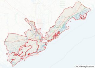
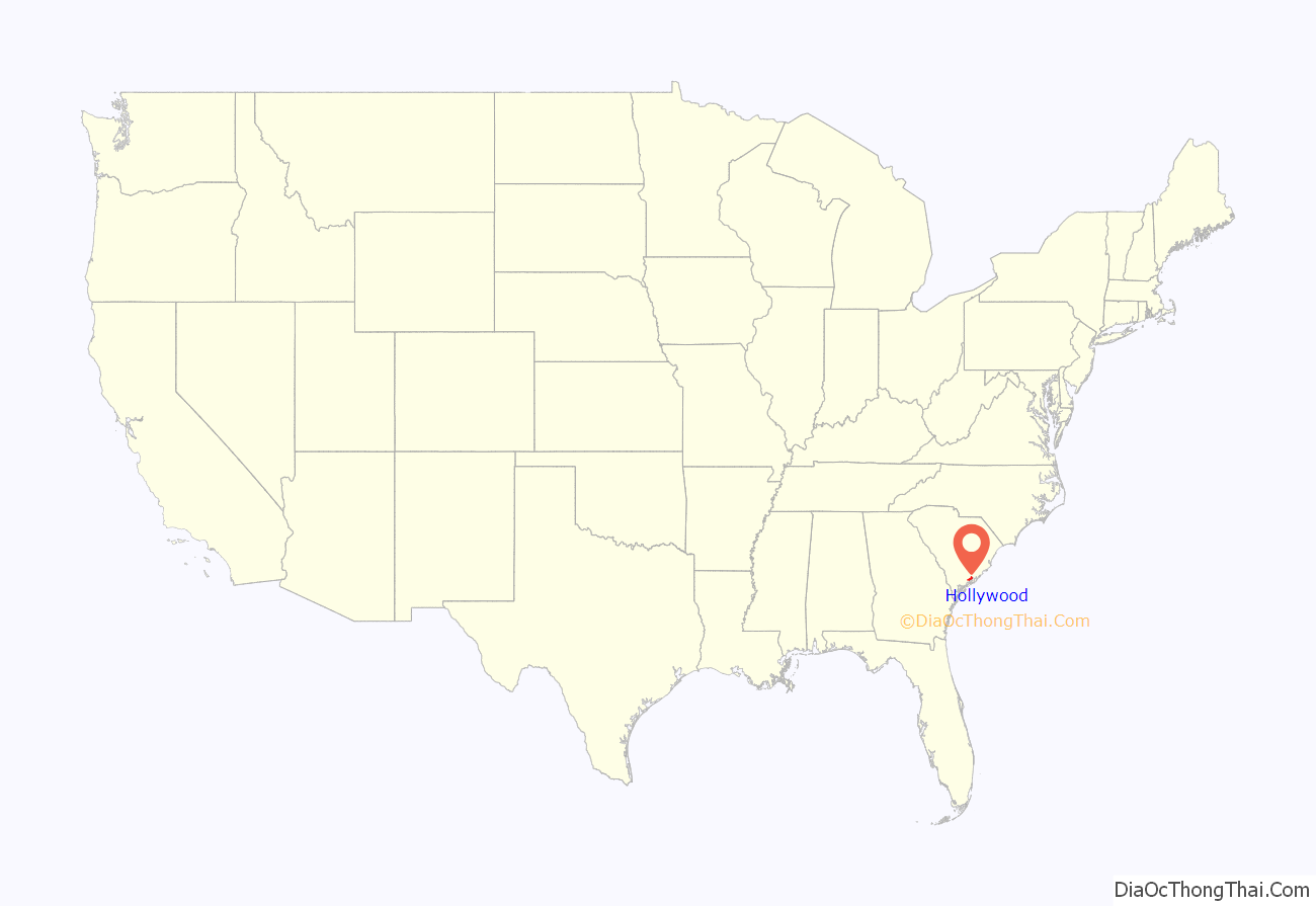
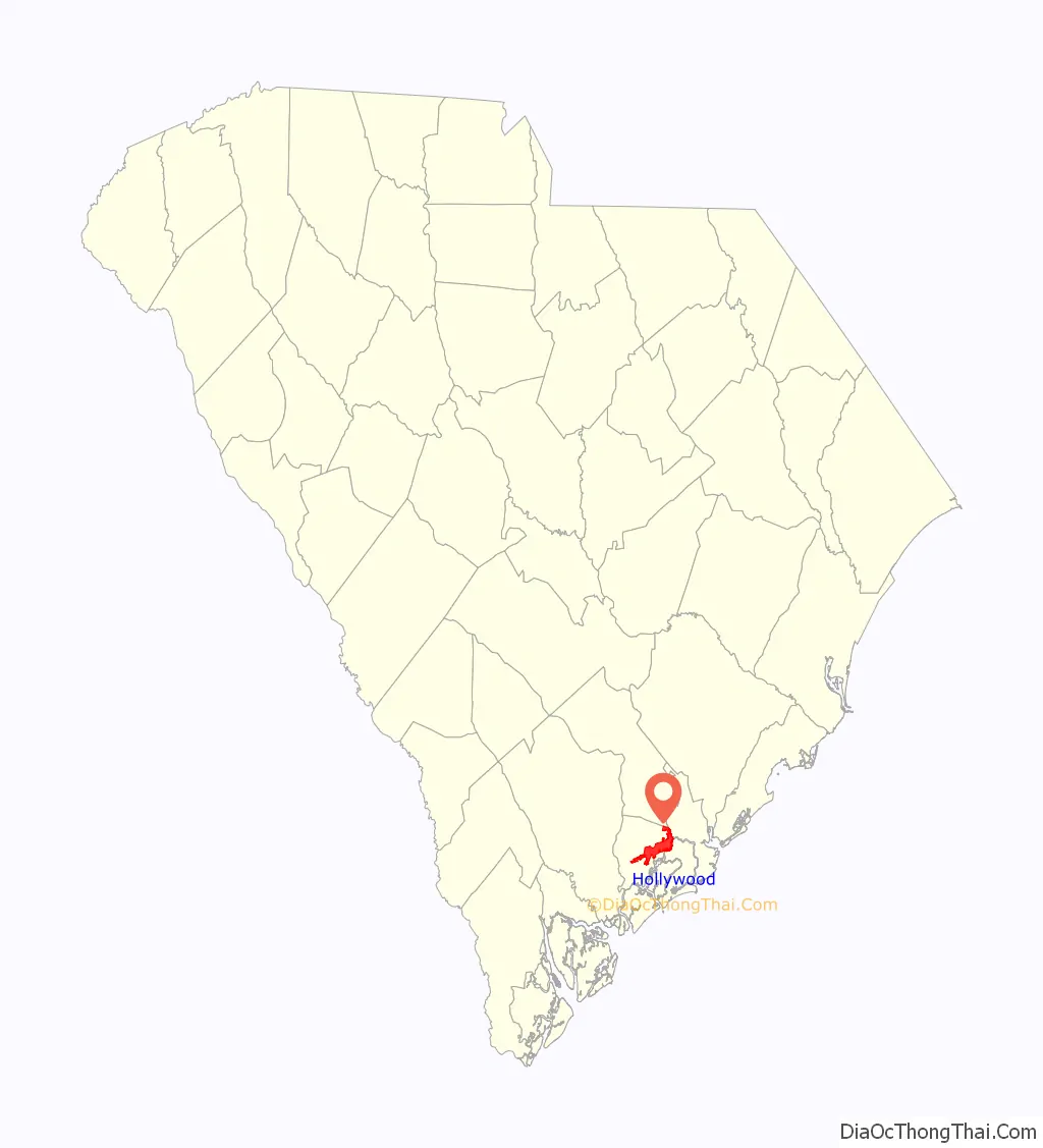
Hollywood location map. Where is Hollywood town?
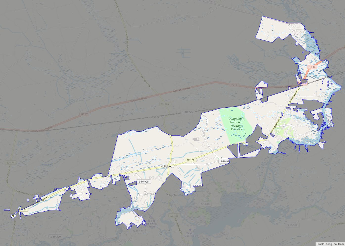
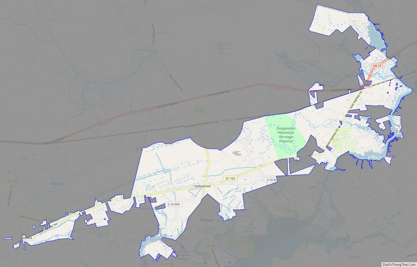
Hollywood Road Map
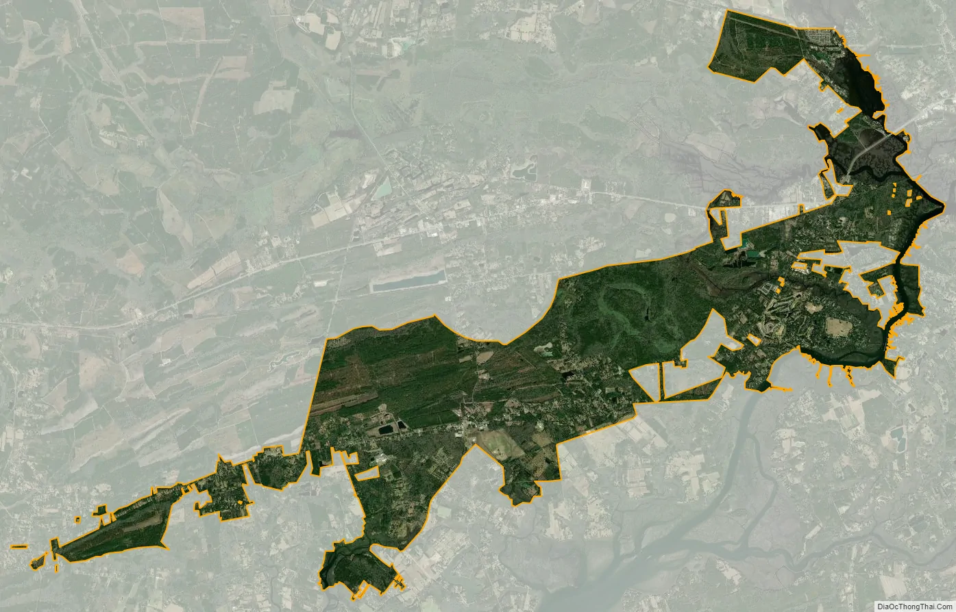
Hollywood city Satellite Map
Geography
Hollywood is located in western Charleston County at 32°44′48″N 80°13′34″W / 32.7467°N 80.2260°W / 32.7467; -80.2260 (32.7467, -80.2260). It is bordered by Ravenel to the north and Meggett to the south. Charleston is 21 miles (34 km) to the east.
According to the United States Census Bureau, Hollywood has a total area of 24.5 square miles (63.5 km), of which 23.1 square miles (59.9 km) is land and 1.4 square miles (3.6 km), or 5.64%, is water.
See also
Map of South Carolina State and its subdivision:- Abbeville
- Aiken
- Allendale
- Anderson
- Bamberg
- Barnwell
- Beaufort
- Berkeley
- Calhoun
- Charleston
- Cherokee
- Chester
- Chesterfield
- Clarendon
- Colleton
- Darlington
- Dillon
- Dorchester
- Edgefield
- Fairfield
- Florence
- Georgetown
- Greenville
- Greenwood
- Hampton
- Horry
- Jasper
- Kershaw
- Lancaster
- Laurens
- Lee
- Lexington
- Marion
- Marlboro
- McCormick
- Newberry
- Oconee
- Orangeburg
- Pickens
- Richland
- Saluda
- Spartanburg
- Sumter
- Union
- Williamsburg
- York
- Alabama
- Alaska
- Arizona
- Arkansas
- California
- Colorado
- Connecticut
- Delaware
- District of Columbia
- Florida
- Georgia
- Hawaii
- Idaho
- Illinois
- Indiana
- Iowa
- Kansas
- Kentucky
- Louisiana
- Maine
- Maryland
- Massachusetts
- Michigan
- Minnesota
- Mississippi
- Missouri
- Montana
- Nebraska
- Nevada
- New Hampshire
- New Jersey
- New Mexico
- New York
- North Carolina
- North Dakota
- Ohio
- Oklahoma
- Oregon
- Pennsylvania
- Rhode Island
- South Carolina
- South Dakota
- Tennessee
- Texas
- Utah
- Vermont
- Virginia
- Washington
- West Virginia
- Wisconsin
- Wyoming