Inman is a city in Spartanburg County, South Carolina, United States. The population was 3,665 at the 2020 census, and 2,321 at the 2010 census.
Greater Inman is close to the Spartanburg–Greenville–Anderson metroplex. Inman residents have access to nearby Lake Bowen that affords water recreational sports and fishing, and Inman is accessible by Interstate 26 and Interstate 85. The city contains a historic main street district, several houses of worship, and a school district.
| Name: | Inman city |
|---|---|
| LSAD Code: | 25 |
| LSAD Description: | city (suffix) |
| State: | South Carolina |
| County: | Spartanburg County |
| Elevation: | 981 ft (299 m) |
| Total Area: | 1.73 sq mi (4.49 km²) |
| Land Area: | 1.73 sq mi (4.48 km²) |
| Water Area: | 0.00 sq mi (0.01 km²) |
| Total Population: | 2,990 |
| Population Density: | 1,728.32/sq mi (667.24/km²) |
| ZIP code: | 29349 |
| Area code: | 864 |
| FIPS code: | 4535755 |
| GNISfeature ID: | 1223455 |
| Website: | www.cityofinman.org |
Online Interactive Map
Click on ![]() to view map in "full screen" mode.
to view map in "full screen" mode.
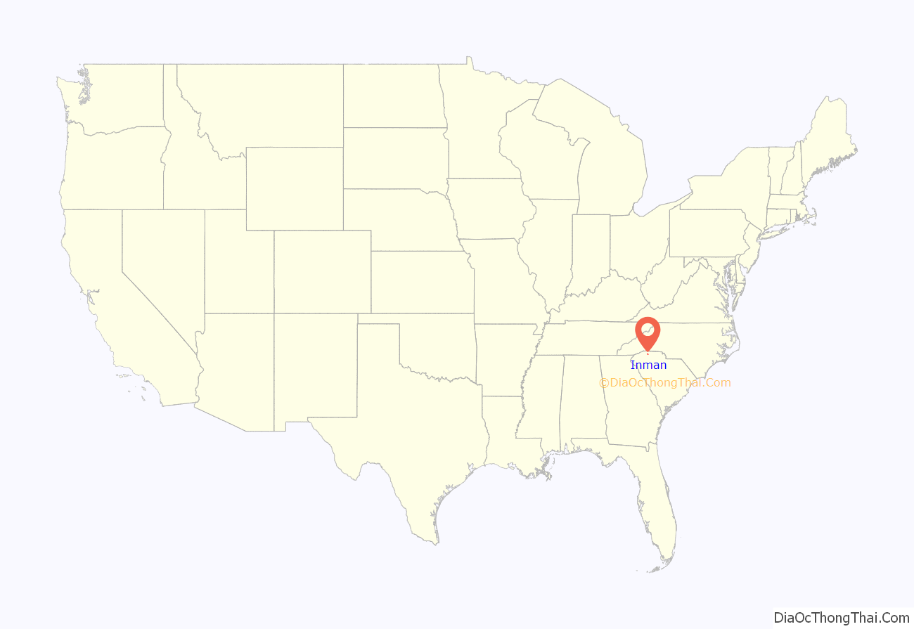
Inman location map. Where is Inman city?
History
The Bush House and Shiloh Methodist Church are listed on the National Register of Historic Places.
Inman Road Map
Inman city Satellite Map
Geography
Inman is located at 35°2′51″N 82°5′25″W / 35.04750°N 82.09028°W / 35.04750; -82.09028 (35.047493, -82.090329). The city lies just north of Spartanburg, and a few miles south of the North Carolina-South Carolina border.
The city’s historic district lies along South Carolina Highway 292 just north of its intersection with U.S. Route 176 (which passes along the southwestern edge of the city). SC 292 also connects Inman with Interstate 26 to the east. Inman Mills, an unincorporated community, lies immediately southwest of Inman.
According to the United States Census Bureau, the city has a total area of 0.9 square miles (2.3 km), all land.
Climate
Inman is located in the Upstate region of South Carolina. The weather is temperate year-round, due to its location in the Isothermal Belt, a phenomenon that results when warmer air on the western side of the Appalachian Mountains blows over the mountains, leaving a 60-mile-wide (97 km) trough where significant temperature inversions of 20 degrees Fahrenheit or greater can occur.
See also
Map of South Carolina State and its subdivision:- Abbeville
- Aiken
- Allendale
- Anderson
- Bamberg
- Barnwell
- Beaufort
- Berkeley
- Calhoun
- Charleston
- Cherokee
- Chester
- Chesterfield
- Clarendon
- Colleton
- Darlington
- Dillon
- Dorchester
- Edgefield
- Fairfield
- Florence
- Georgetown
- Greenville
- Greenwood
- Hampton
- Horry
- Jasper
- Kershaw
- Lancaster
- Laurens
- Lee
- Lexington
- Marion
- Marlboro
- McCormick
- Newberry
- Oconee
- Orangeburg
- Pickens
- Richland
- Saluda
- Spartanburg
- Sumter
- Union
- Williamsburg
- York
- Alabama
- Alaska
- Arizona
- Arkansas
- California
- Colorado
- Connecticut
- Delaware
- District of Columbia
- Florida
- Georgia
- Hawaii
- Idaho
- Illinois
- Indiana
- Iowa
- Kansas
- Kentucky
- Louisiana
- Maine
- Maryland
- Massachusetts
- Michigan
- Minnesota
- Mississippi
- Missouri
- Montana
- Nebraska
- Nevada
- New Hampshire
- New Jersey
- New Mexico
- New York
- North Carolina
- North Dakota
- Ohio
- Oklahoma
- Oregon
- Pennsylvania
- Rhode Island
- South Carolina
- South Dakota
- Tennessee
- Texas
- Utah
- Vermont
- Virginia
- Washington
- West Virginia
- Wisconsin
- Wyoming
