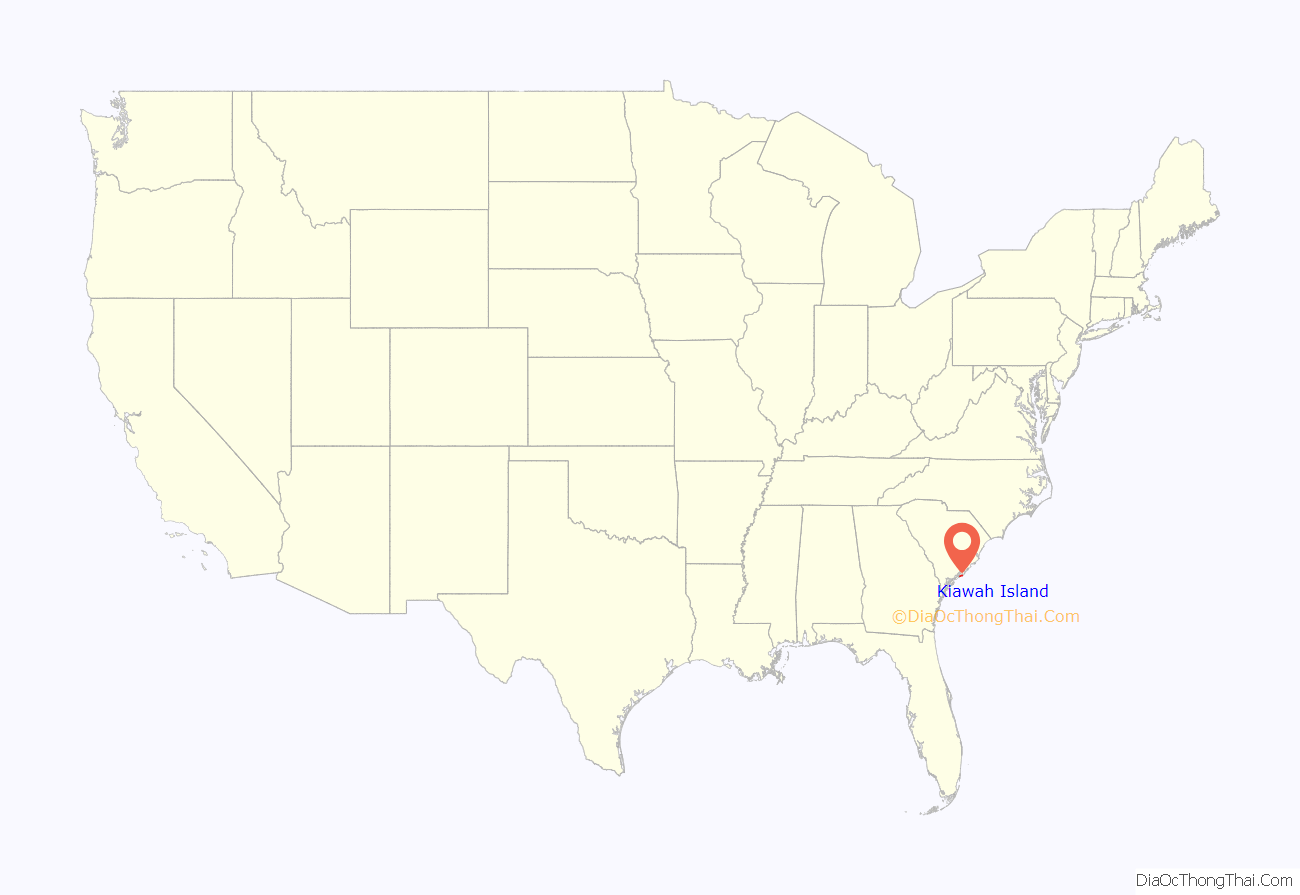
Kiawah is a sea island, or barrier island, on the Atlantic coast of the United States. Located 25 miles (40 km) southwest of Charleston in Charleston County, South Carolina, it is primarily a private beach and golf resort. It is home to the Kiawah Island Golf Resort, with spacious villas, beaches, large and acclaimed golf courses, and other attractions. As of the 2010 census, Kiawah Island’s population was 1,626, up from 1,163 at the 2000 census. The island is part of the Charleston-North Charleston-Summerville metropolitan area. Alternative spellings and variants of the name itself include “Kiawa”, “Kittiwar” (in DuBose Heyward’s novel Porgy), and “Kittiwah” (in George Gershwin’s opera Porgy and Bess). The proper pronunciation is sometimes considered difficult: the following reference provides an example pronunciation of Kiawah Island. Census Tract 21.04, located on the island, has a per capita income of $168,369, the highest in South Carolina. [1]
| Name: | Kiawah Island town |
|---|---|
| LSAD Code: | 43 |
| LSAD Description: | town (suffix) |
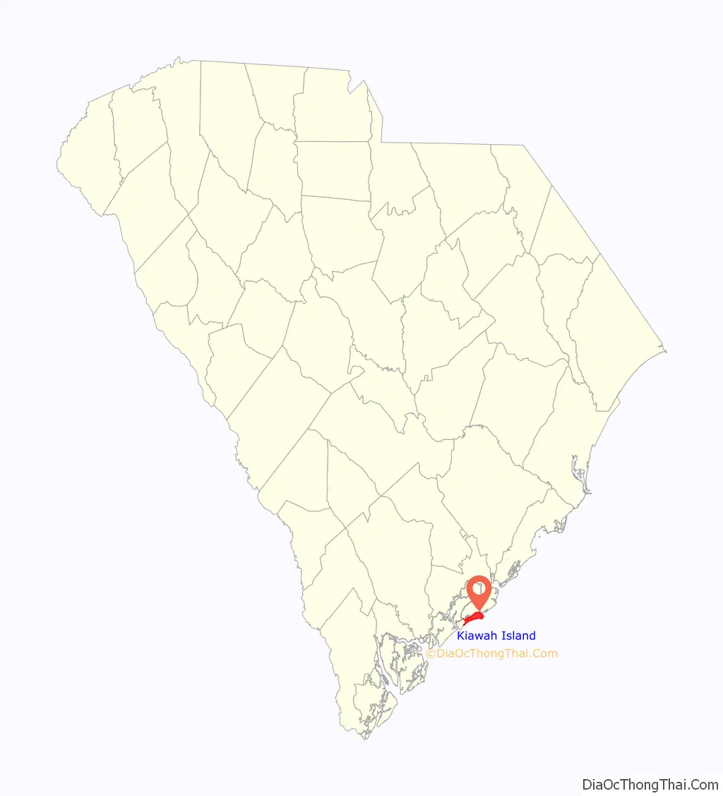
| State: | South Carolina |
| County: | Charleston County |
| Elevation: | 13 ft (4 m) |
| Total Area: | 15.14 sq mi (39.21 km²) |
| Land Area: | 11.17 sq mi (28.93 km²) |
| Water Area: | 3.97 sq mi (10.28 km²) |
| Total Population: | 2,013 |
| Population Density: | 180.20/sq mi (69.58/km²) |
| ZIP code: | 29455 |
| Area code: | 843, 854 |
| FIPS code: | 4538162 |
| GNISfeature ID: | 1253569 |
| Website: | www.kiawahisland.org |
Online Interactive Map
Click on ![]() to view map in "full screen" mode.
to view map in "full screen" mode.
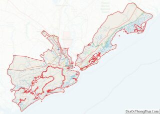
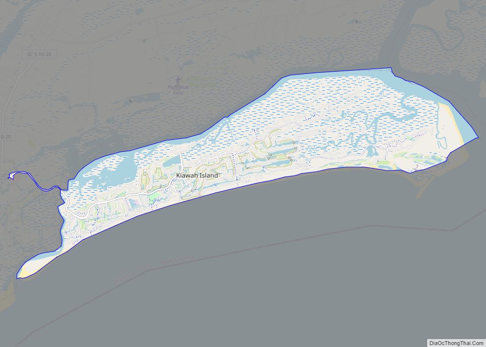
Kiawah Island location map. Where is Kiawah Island town?
History
The Bass Pond Site and Arnoldus Vander Horst House are listed on the National Register of Historic Places.
Kiawah was named for the Kiawah Indians who were led by their head chieftain or cassique. In the year 1670, the cassique of the Kiawah led English colonists to settle at Charlestowne Landing.
In 1699, former pirate Captain George Raynor gained possession of Kiawah Island. On November 1, 1701, Captain Raynor sold half of the island to Captain William Davis, and left the other half in his will for his granddaughter. The half left to his will was passed through family members until John Stanyarne acquired the property. Stanyarne then purchased the remaining half of the island from the family of Captain Davis.
The island was primarily used for cattle farming prior to the Civil War. Stanyarne built an estate that was valued highly, falling into a category of value that only 19% of the properties of South Carolina qualified for. In his will he left the southwestern portion of the island to his granddaughter Mary Gibbs, and the northeastern portion to his granddaughter Elizabeth Vanderhorst. Both portions were to be passed down until the third generation, when they would become considered fee simple ownerships. Gibbs died at a young age, and it is assumed that her father, Robert Gibbs, maintained her portion of the island.
During the Revolutionary War the island has very few records of events, other than its use as a safe recovery space for American soldiers and their families. The Vanderhorst property was burned down during the time of the Revolutionary War, but was rebuilt shortly after, and finished in the beginning of the 19th century. The Vanderhorst family infrequently inhabited the island, and often stayed in their homes elsewhere along the Carolina coast. The Vanderhorst family still only claimed ownership of half of the island, with the other half being passed through the wills of the Gibbs family. A portion of the island controlled by the Gibbs family was sold to William Seabrook, and the other portion to Isaac Wilson. The island during this time only remained inhabited by slaves and the properties built by the families.
The Civil War impacted Kiawah Island as it did the entire South. There were not damages recorded. The Vanderhorst family was not presently residing there, but they did check the state of the property in the earlier years of the war. There are not records of what occurred on Kiawah during the war in terms of battles, but it was sieged by the North with Charleston and taken over by Northern troops. They remained stationed there as a precautionary measure. The properties seemed to have obtained damage, but it is unclear how or how extensive.
The Vanderhorst family did not have many records from this time period. It seems that at the end of the war they were in financial trouble, and were unsure about how to maintain ownership of Kiawah. They were able to keep their portion of the island, while the other two portions changed ownership. The Vanderhorsts hired freed slaves for labor, and were able to produce cotton on the island. By 1870, Arnoldus Vanderhorst, the present caretaker and owner of the Vanderhorst portion of Kiawah, recorded that the island was restored and there was agricultural growth.
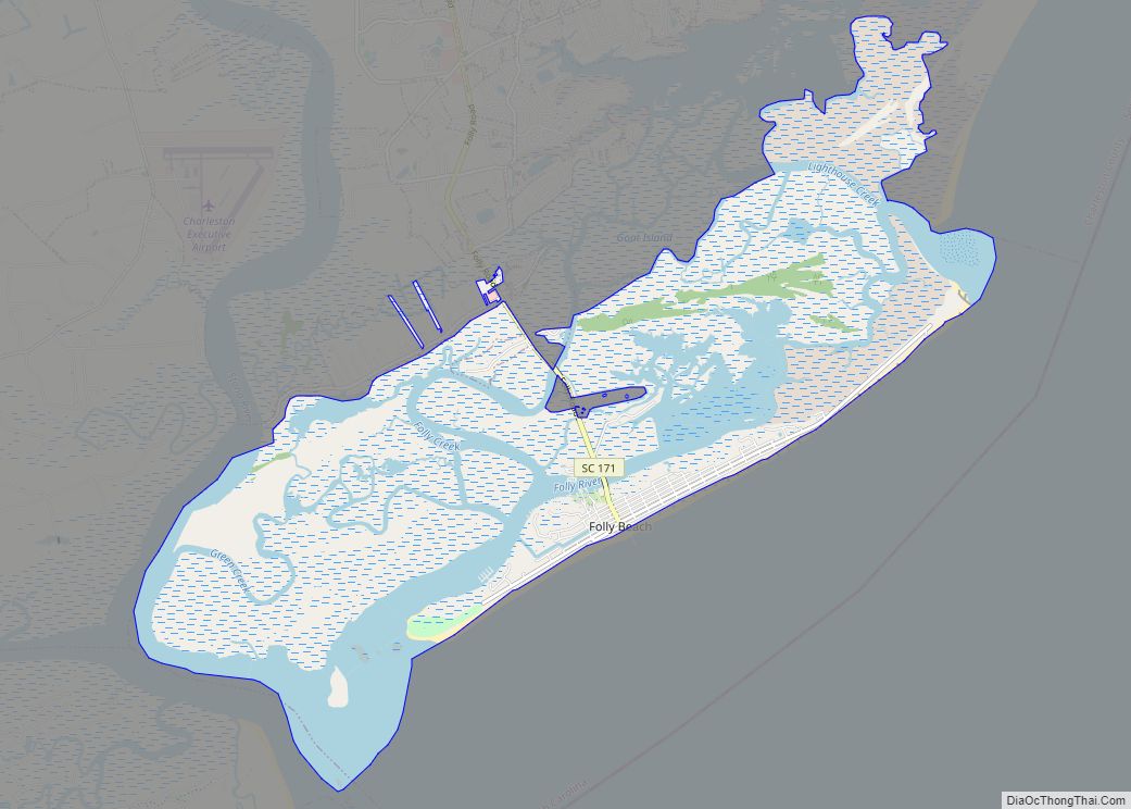
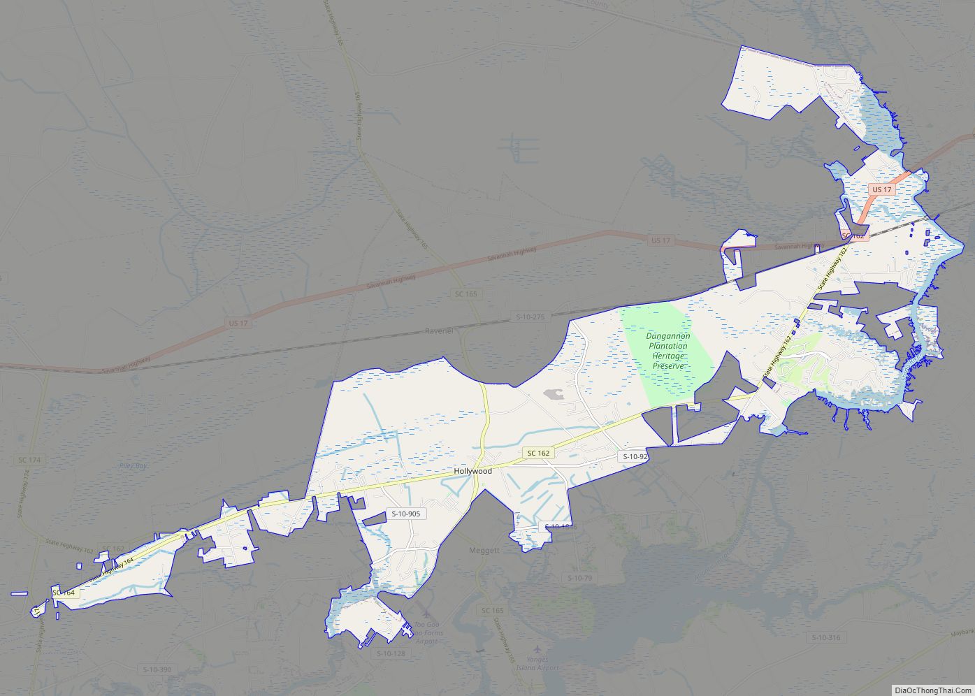
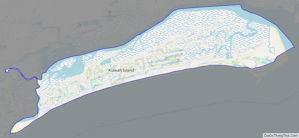
Kiawah Island Road Map
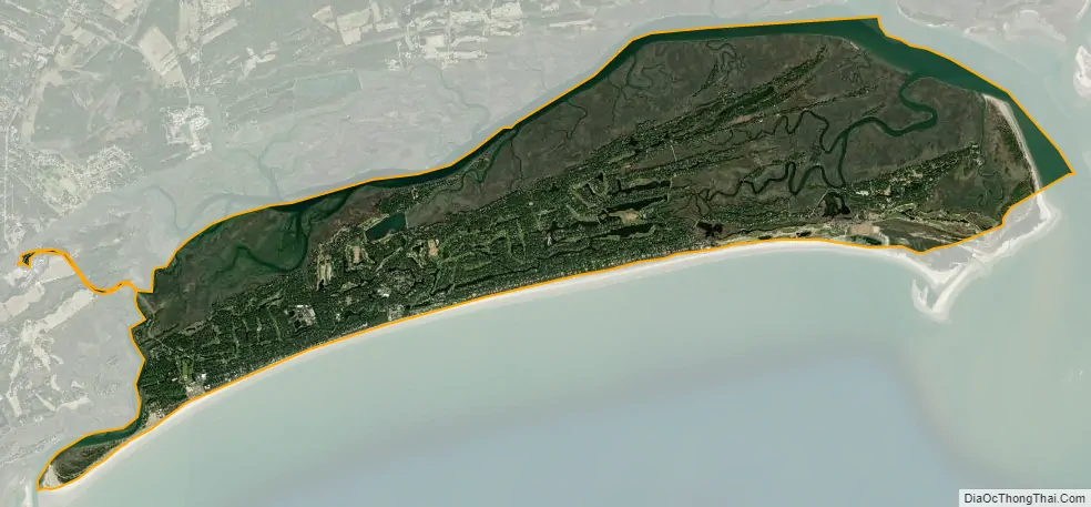
Kiawah Island city Satellite Map
Geography
According to the United States Census Bureau, the town has a total area of 13.4 square miles (34.8 km), of which 11.0 square miles (28.4 km) is land and 2.5 square miles (6.4 km), or 18.36%, is water.
See also
Map of South Carolina State and its subdivision:- Abbeville
- Aiken
- Allendale
- Anderson
- Bamberg
- Barnwell
- Beaufort
- Berkeley
- Calhoun
- Charleston
- Cherokee
- Chester
- Chesterfield
- Clarendon
- Colleton
- Darlington
- Dillon
- Dorchester
- Edgefield
- Fairfield
- Florence
- Georgetown
- Greenville
- Greenwood
- Hampton
- Horry
- Jasper
- Kershaw
- Lancaster
- Laurens
- Lee
- Lexington
- Marion
- Marlboro
- McCormick
- Newberry
- Oconee
- Orangeburg
- Pickens
- Richland
- Saluda
- Spartanburg
- Sumter
- Union
- Williamsburg
- York
- Alabama
- Alaska
- Arizona
- Arkansas
- California
- Colorado
- Connecticut
- Delaware
- District of Columbia
- Florida
- Georgia
- Hawaii
- Idaho
- Illinois
- Indiana
- Iowa
- Kansas
- Kentucky
- Louisiana
- Maine
- Maryland
- Massachusetts
- Michigan
- Minnesota
- Mississippi
- Missouri
- Montana
- Nebraska
- Nevada
- New Hampshire
- New Jersey
- New Mexico
- New York
- North Carolina
- North Dakota
- Ohio
- Oklahoma
- Oregon
- Pennsylvania
- Rhode Island
- South Carolina
- South Dakota
- Tennessee
- Texas
- Utah
- Vermont
- Virginia
- Washington
- West Virginia
- Wisconsin
- Wyoming