Rockville is a town in Charleston County, South Carolina, United States, that was founded in 1784. The population was 134 at the 2010 census. Rockville is part of the Charleston-North Charleston-Summerville metropolitan area.
| Name: | Rockville town |
|---|---|
| LSAD Code: | 43 |
| LSAD Description: | town (suffix) |
| State: | South Carolina |
| County: | Charleston County |
| Elevation: | 10 ft (3 m) |
| Total Area: | 0.51 sq mi (1.33 km²) |
| Land Area: | 0.42 sq mi (1.10 km²) |
| Water Area: | 0.09 sq mi (0.23 km²) |
| Total Population: | 141 |
| Population Density: | 332.55/sq mi (128.50/km²) |
| FIPS code: | 4561495 |
| GNISfeature ID: | 1231739 |
| Website: | townofrockville.com |
Online Interactive Map
Click on ![]() to view map in "full screen" mode.
to view map in "full screen" mode.
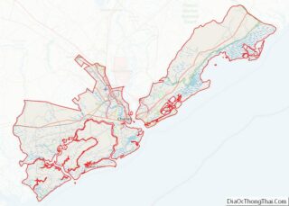
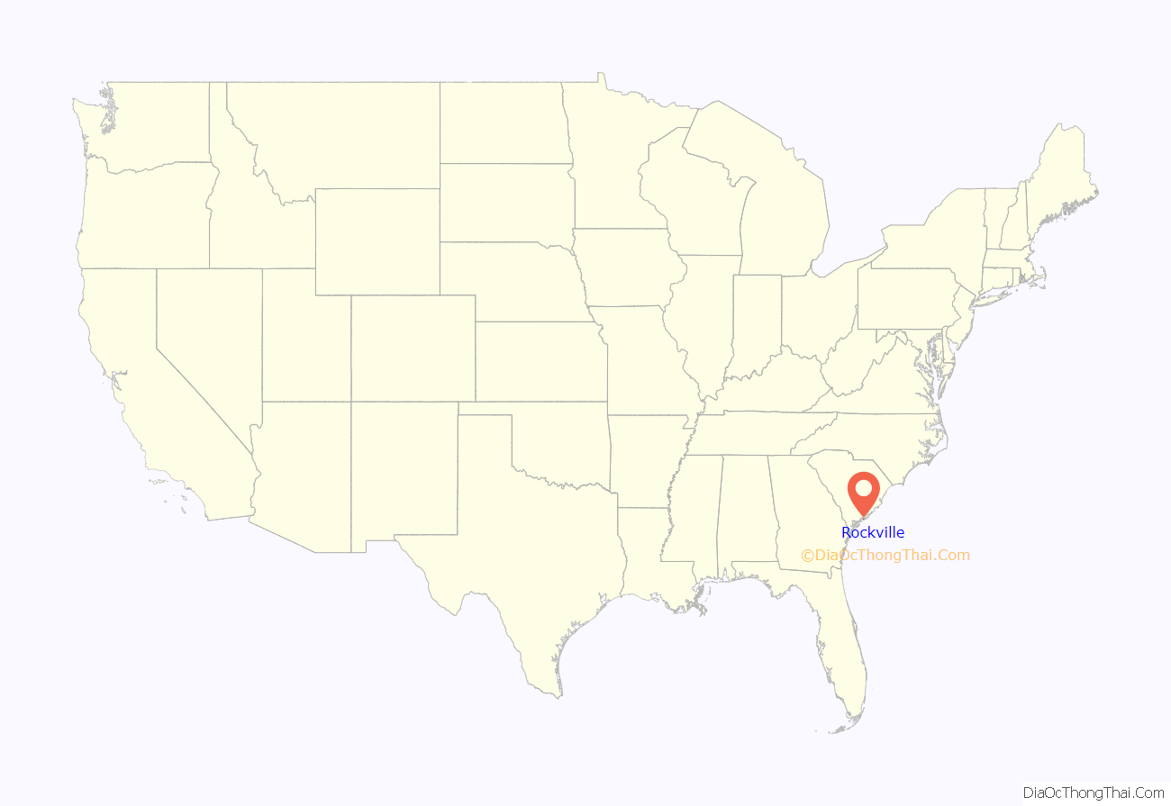
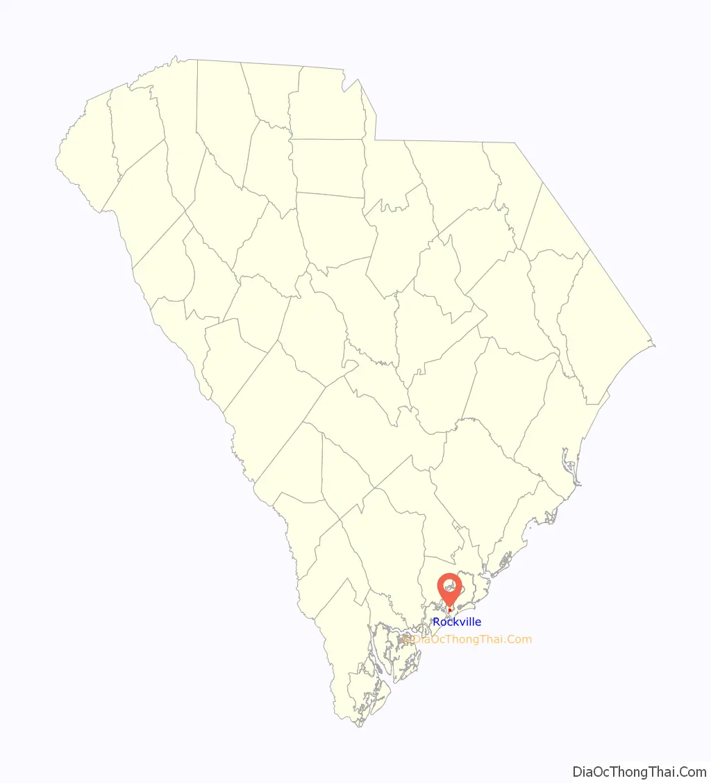
Rockville location map. Where is Rockville town?
History
The Hanckel Mound, Horse Island, Rockville Historic District, and John Seabrook Plantation Bridge are listed on the National Register of Historic Places.
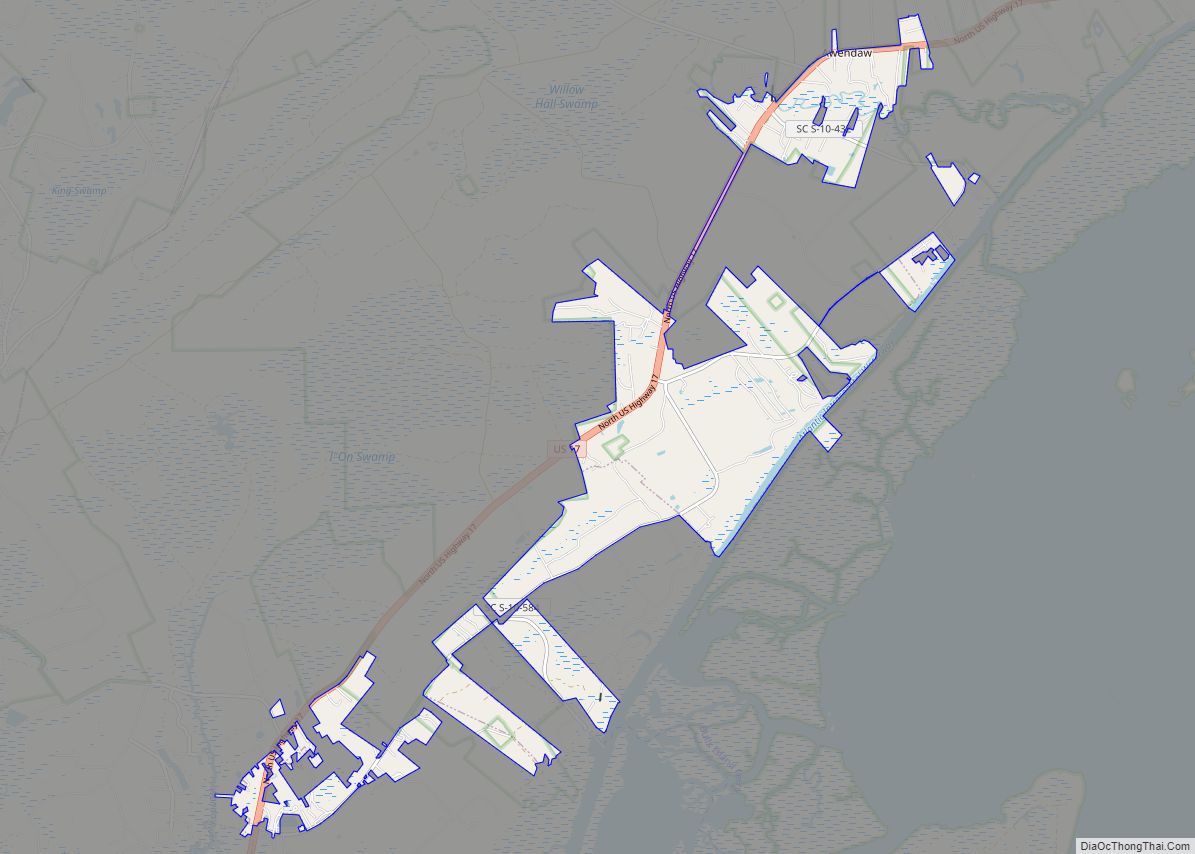
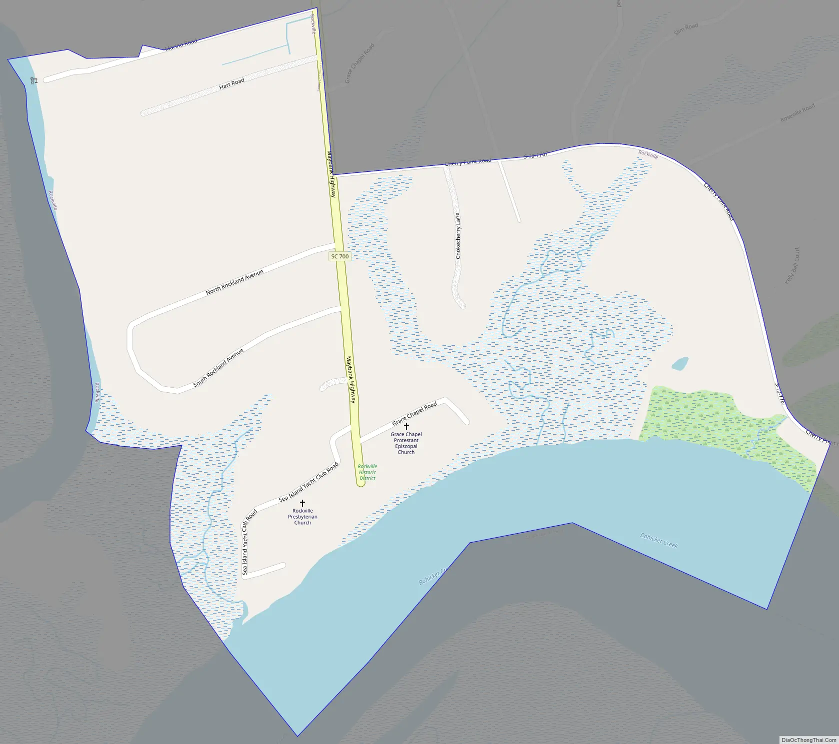
Rockville Road Map
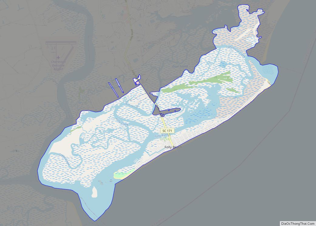
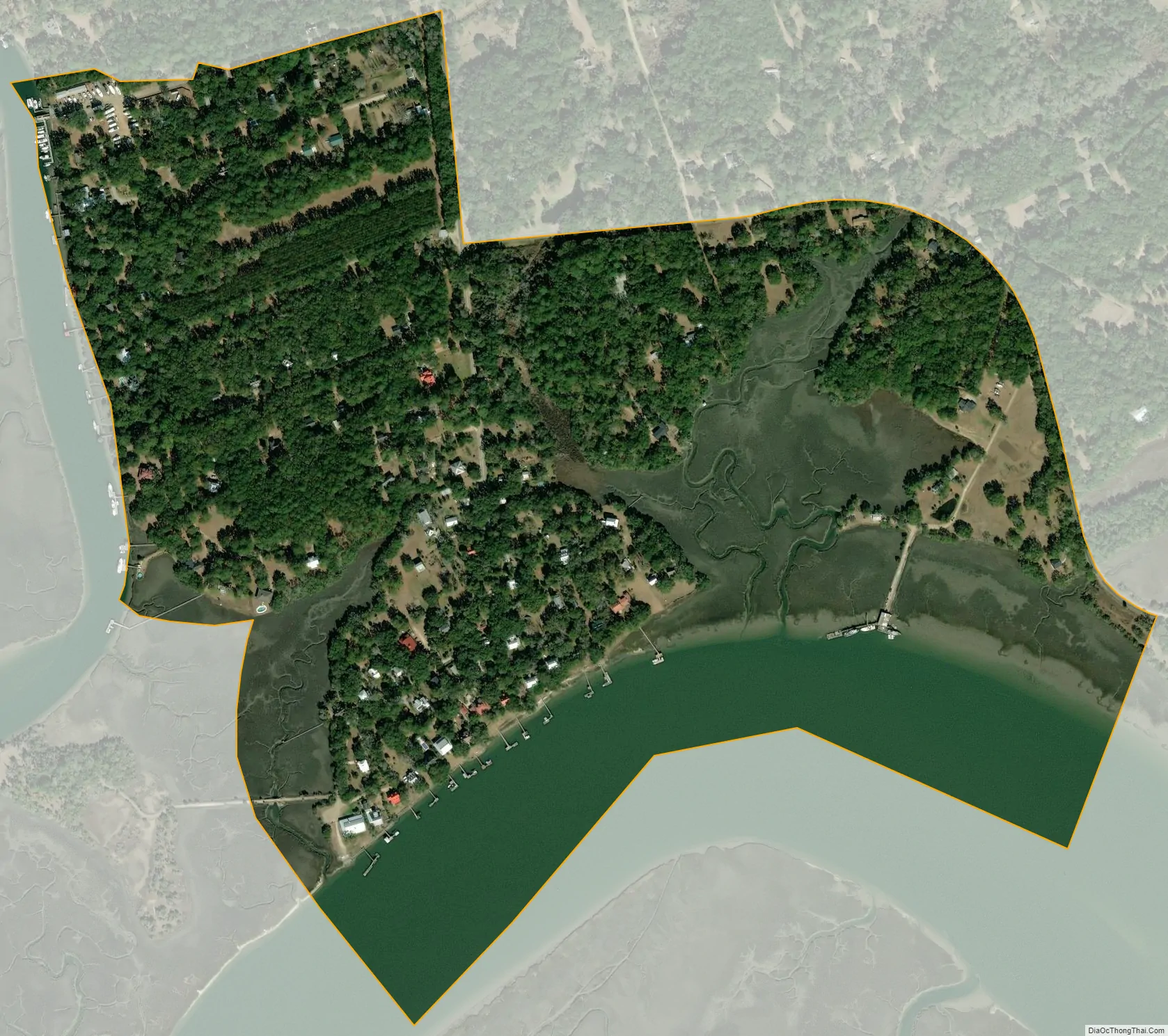
Rockville city Satellite Map
Geography
Rockville is located on Wadmalaw Island in southwestern Charleston County at 32°36′11″N 80°11′49″W / 32.60306°N 80.19694°W / 32.60306; -80.19694 (32.602932, -80.196942), at the south end of South Carolina Highway 700, on the north bank of tidal Bohicket Creek, an arm of the North Edisto River. To the south across Bohicket Creek is the town of Seabrook Island. SC Highway 700 leads northeast 11 miles (18 km) to Johns Island and 22 miles (35 km) to Charleston.
According to the United States Census Bureau, the town has a total area of 0.50 square miles (1.3 km), of which 0.42 square miles (1.1 km) is land and 0.1 square miles (0.2 km), or 17.52%, is water.
See also
Map of South Carolina State and its subdivision:- Abbeville
- Aiken
- Allendale
- Anderson
- Bamberg
- Barnwell
- Beaufort
- Berkeley
- Calhoun
- Charleston
- Cherokee
- Chester
- Chesterfield
- Clarendon
- Colleton
- Darlington
- Dillon
- Dorchester
- Edgefield
- Fairfield
- Florence
- Georgetown
- Greenville
- Greenwood
- Hampton
- Horry
- Jasper
- Kershaw
- Lancaster
- Laurens
- Lee
- Lexington
- Marion
- Marlboro
- McCormick
- Newberry
- Oconee
- Orangeburg
- Pickens
- Richland
- Saluda
- Spartanburg
- Sumter
- Union
- Williamsburg
- York
- Alabama
- Alaska
- Arizona
- Arkansas
- California
- Colorado
- Connecticut
- Delaware
- District of Columbia
- Florida
- Georgia
- Hawaii
- Idaho
- Illinois
- Indiana
- Iowa
- Kansas
- Kentucky
- Louisiana
- Maine
- Maryland
- Massachusetts
- Michigan
- Minnesota
- Mississippi
- Missouri
- Montana
- Nebraska
- Nevada
- New Hampshire
- New Jersey
- New Mexico
- New York
- North Carolina
- North Dakota
- Ohio
- Oklahoma
- Oregon
- Pennsylvania
- Rhode Island
- South Carolina
- South Dakota
- Tennessee
- Texas
- Utah
- Vermont
- Virginia
- Washington
- West Virginia
- Wisconsin
- Wyoming