Seabrook Island, formerly known as Simmons Island, is a barrier island in Charleston County, South Carolina, United States. The population was 1,714 at the 2010 census, up from 1,250 in 2000.
Seabrook Island is part of the Charleston-North Charleston-Summerville metropolitan area.
| Name: | Seabrook Island town |
|---|---|
| LSAD Code: | 43 |
| LSAD Description: | town (suffix) |
| State: | South Carolina |
| County: | Charleston County |
| Elevation: | 5 ft (2 m) |
| Total Area: | 7.06 sq mi (18.29 km²) |
| Land Area: | 5.94 sq mi (15.38 km²) |
| Water Area: | 1.12 sq mi (2.91 km²) |
| Total Population: | 2,050 |
| Population Density: | 345.23/sq mi (133.30/km²) |
| ZIP code: | 29455 |
| Area code: | 843, 854 |
| FIPS code: | 4564712 |
| GNISfeature ID: | 1253570 |
| Website: | www.townofseabrookisland.org |
Online Interactive Map
Click on ![]() to view map in "full screen" mode.
to view map in "full screen" mode.
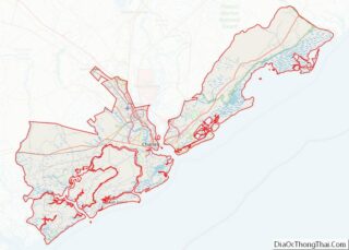
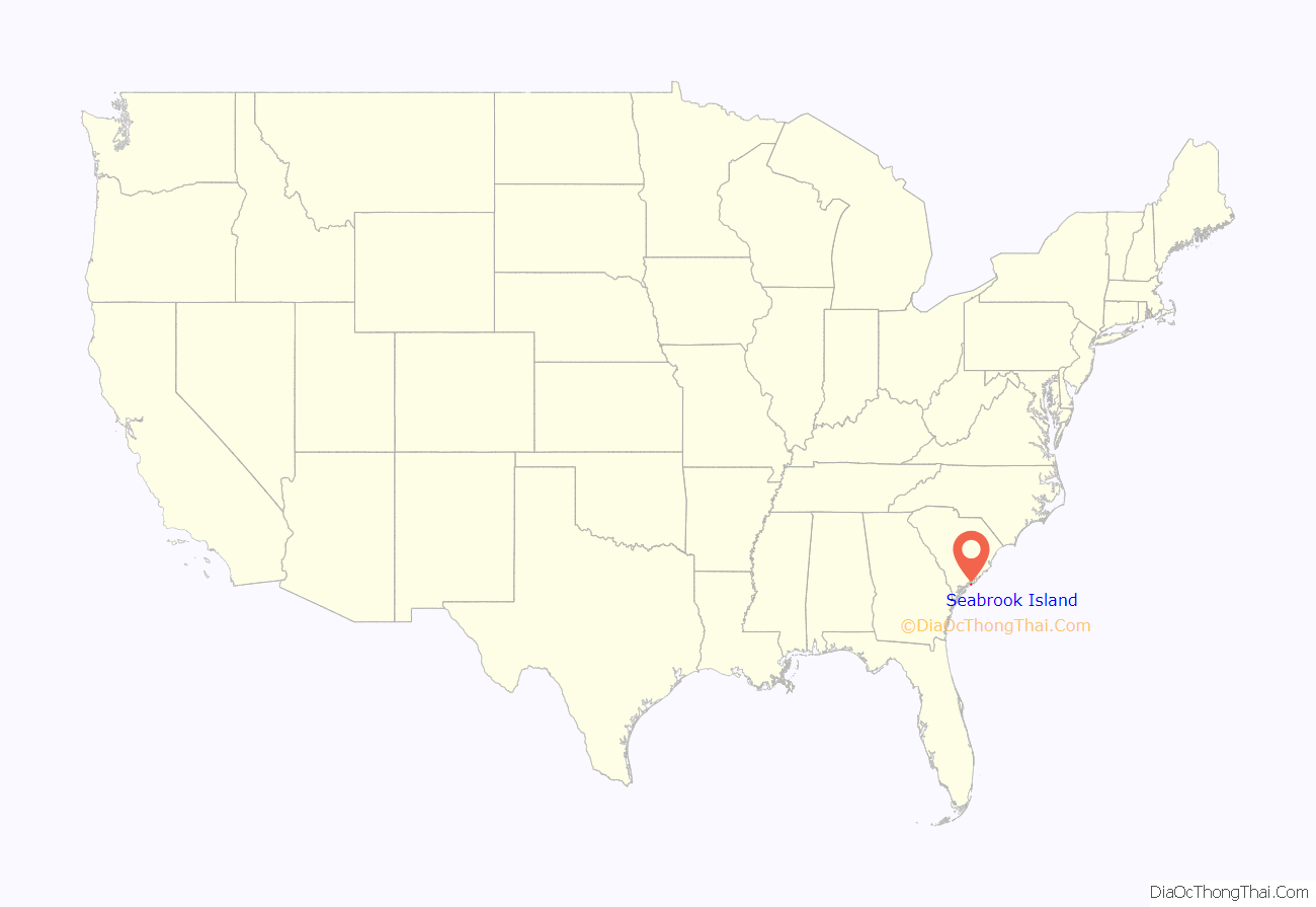
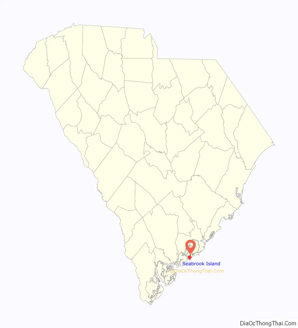
Seabrook Island location map. Where is Seabrook Island town?
History
In 1666, British subject Lt. Col. Robert Sanford arrived on Seabrook as an explorer in royal service to King Charles II. By 1684, the local Stono Indians were persuaded to cede their lands to the proprietary government, which in turn sold the property to English settlers.
During the American Revolutionary years, the island was used as a staging area for Hessian and British troops during the Siege of Charleston. In 1816, the island was sold to William Seabrook of nearby Edisto Island, hence the present name. Under Seabrook’s ownership, the island was used for growing cotton. At the height of the Civil War, Seabrook sold the island to William Gregg, who rented the land to Charles Andell.
After the turn of the century, the island was sold to sportsmen for hunting, fishing, and recreation. In 1939, the Episcopal Diocese of South Carolina rented land on Seabrook to establish a summer camp for underprivileged children. In 1951, about 1,408 acres (5.70 km) of land were given to the church.
In 1970, the diocese sold about 1,100 acres (4.5 km) to private developers who planned the private, residential community that Seabrook Island is today. Eighteen years later, the town of Seabrook was incorporated, and it celebrated a decade of private ownership and self-government in 1997.
In 2005 Seabrook Island Club [1] membership became a requirement for new purchasers of property on Seabrook. This requirement raised the economic growth and vitality of the Island, resulting in a strong financial positions for the Seabrook Island Club. In 2010 the Horizon Plan, a complete reconstruction of island amenities, was completed, providing property owners and guests with a new fitness/community center, racquet club, full-service clubhouse, beach club and renovated equestrian center, pools and golf practice facility.
The switch to mandatory membership has been controversial with some owners contending that the requirement has depressed real estate sales and prices.
Seabrook Island amenities include two championship golf courses, nationally recognized racquet club with 15 Har Tru tennis courts and two pickleball courts, equestrian center offering trail and beach rides, ocean-front dining venues, swimming pools, fitness center and expansive banquet/private dining venues.
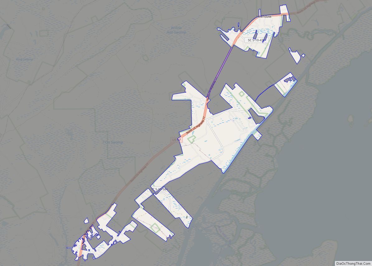
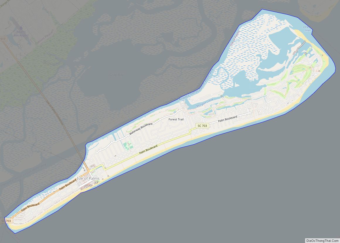
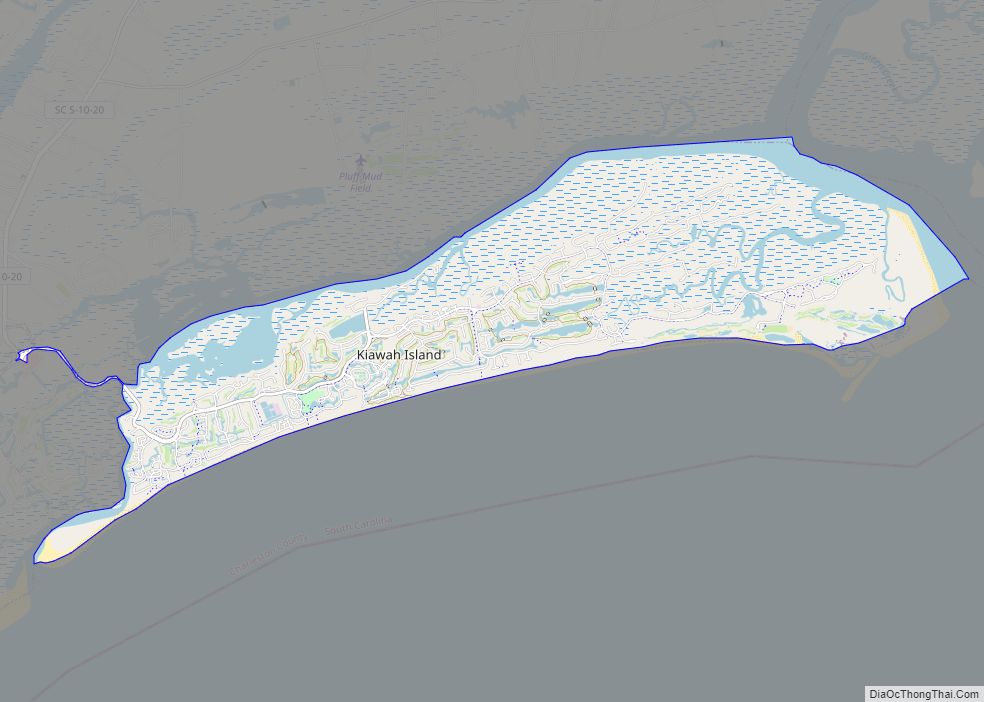
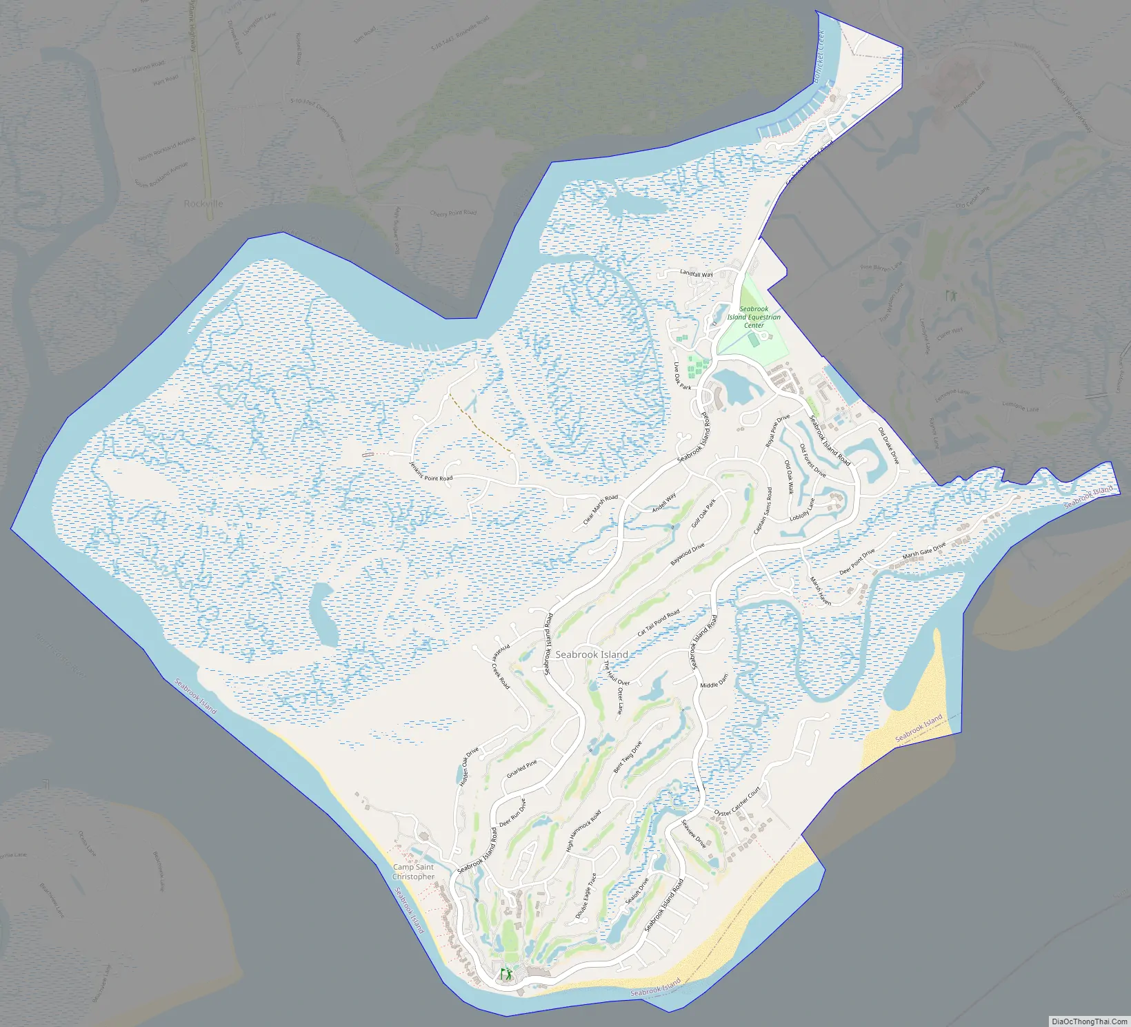
Seabrook Island Road Map
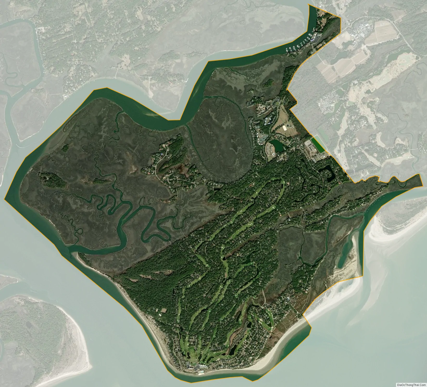
Seabrook Island city Satellite Map
Geography
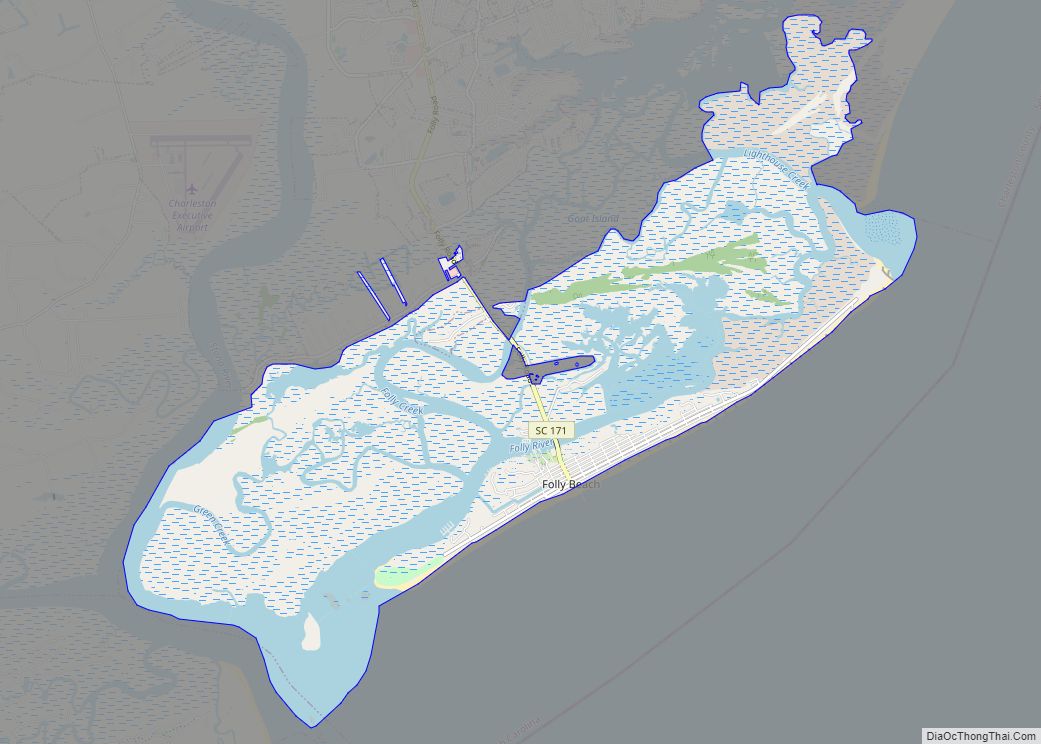
Seabrook Island is located in southwestern Charleston County at 32°34′56″N 80°9′48″W / 32.58222°N 80.16333°W / 32.58222; -80.16333 (32.582173, -80.163332), bordered to the south by the Atlantic Ocean, to the west by the North Edisto River, and to the north by Bohicket Creek. To the east along the Atlantic shoreline as far as the Kiawah River, across which is the town of Kiawah Island. Most of the eastern border of the town, however, is next to unincorporated land. The city of Charleston is 25 miles (40 km) to the northeast.
According to the United States Census Bureau, the town of Seabrook Island has a total area of 7.0 square miles (18.1 km), of which 6.0 square miles (15.5 km) is land and 1.0 square mile (2.7 km), or 14.74%, is water.
See also
Map of South Carolina State and its subdivision:- Abbeville
- Aiken
- Allendale
- Anderson
- Bamberg
- Barnwell
- Beaufort
- Berkeley
- Calhoun
- Charleston
- Cherokee
- Chester
- Chesterfield
- Clarendon
- Colleton
- Darlington
- Dillon
- Dorchester
- Edgefield
- Fairfield
- Florence
- Georgetown
- Greenville
- Greenwood
- Hampton
- Horry
- Jasper
- Kershaw
- Lancaster
- Laurens
- Lee
- Lexington
- Marion
- Marlboro
- McCormick
- Newberry
- Oconee
- Orangeburg
- Pickens
- Richland
- Saluda
- Spartanburg
- Sumter
- Union
- Williamsburg
- York
- Alabama
- Alaska
- Arizona
- Arkansas
- California
- Colorado
- Connecticut
- Delaware
- District of Columbia
- Florida
- Georgia
- Hawaii
- Idaho
- Illinois
- Indiana
- Iowa
- Kansas
- Kentucky
- Louisiana
- Maine
- Maryland
- Massachusetts
- Michigan
- Minnesota
- Mississippi
- Missouri
- Montana
- Nebraska
- Nevada
- New Hampshire
- New Jersey
- New Mexico
- New York
- North Carolina
- North Dakota
- Ohio
- Oklahoma
- Oregon
- Pennsylvania
- Rhode Island
- South Carolina
- South Dakota
- Tennessee
- Texas
- Utah
- Vermont
- Virginia
- Washington
- West Virginia
- Wisconsin
- Wyoming