Taylors is a census-designated place (CDP) in Greenville County, South Carolina, United States. The population was 21,617 at the 2010 census. Taylors is the Greenville/Spartanburg area’s largest suburb although it is not incorporated as a city. It is part of the Greenville–Mauldin–Easley Metropolitan Statistical Area. The area serves as the result of urban sprawl in the Greenville metropolitan city.
| Name: | Taylors CDP |
|---|---|
| LSAD Code: | 57 |
| LSAD Description: | CDP (suffix) |
| State: | South Carolina |
| County: | Greenville County |
| Elevation: | 925 ft (282 m) |
| Total Area: | 10.60 sq mi (27.46 km²) |
| Land Area: | 10.56 sq mi (27.35 km²) |
| Water Area: | 0.04 sq mi (0.10 km²) |
| Total Population: | 23,222 |
| Population Density: | 2,198.84/sq mi (848.98/km²) |
| ZIP code: | 29687 |
| Area code: | 864 |
| FIPS code: | 4571395 |
| GNISfeature ID: | 1251128 |
Online Interactive Map
Click on ![]() to view map in "full screen" mode.
to view map in "full screen" mode.
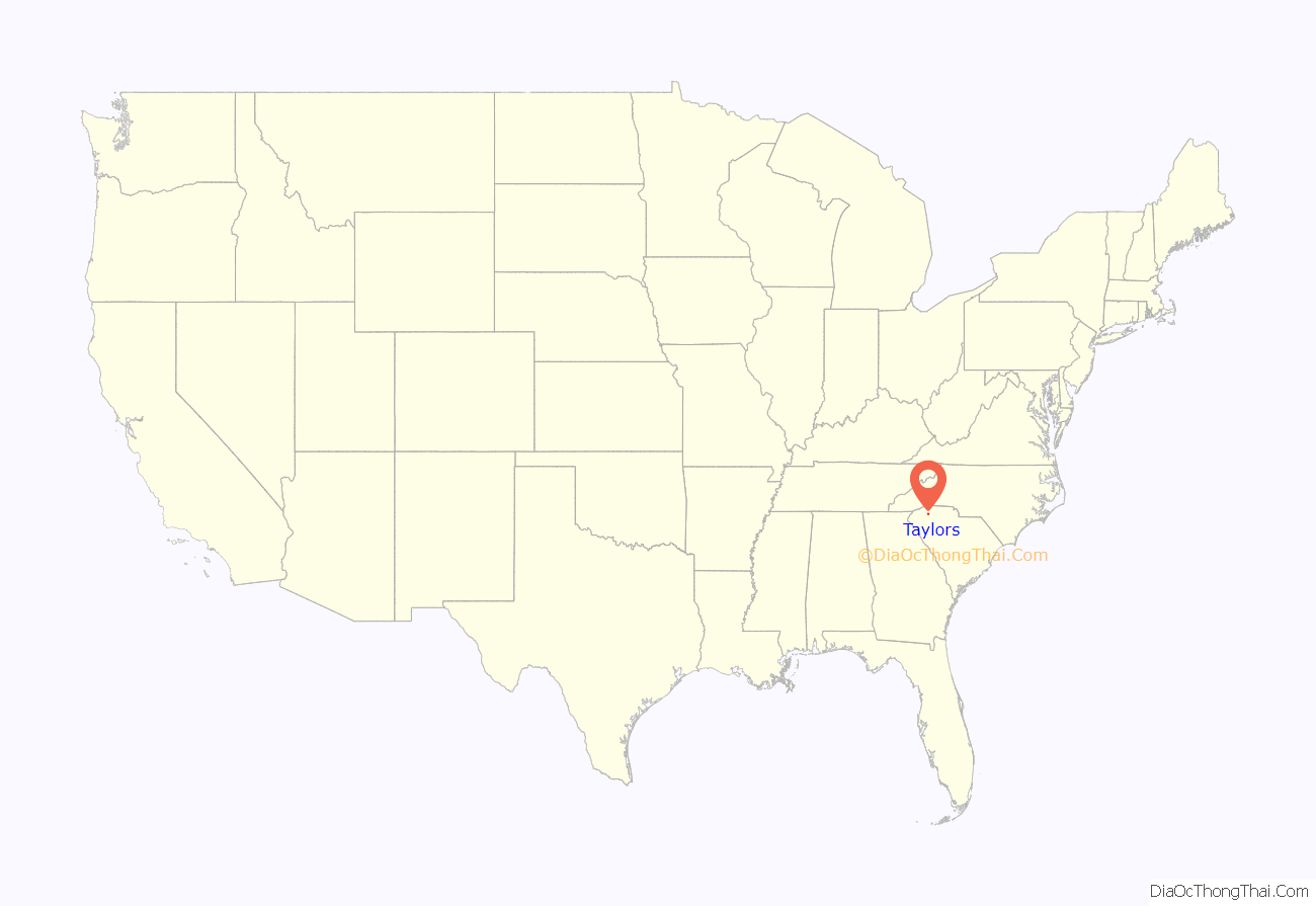
Taylors location map. Where is Taylors CDP?
History
The Southern Bleachery and Print Works in the Taylors Mill was listed on the National Register of Historic Places in 2012.
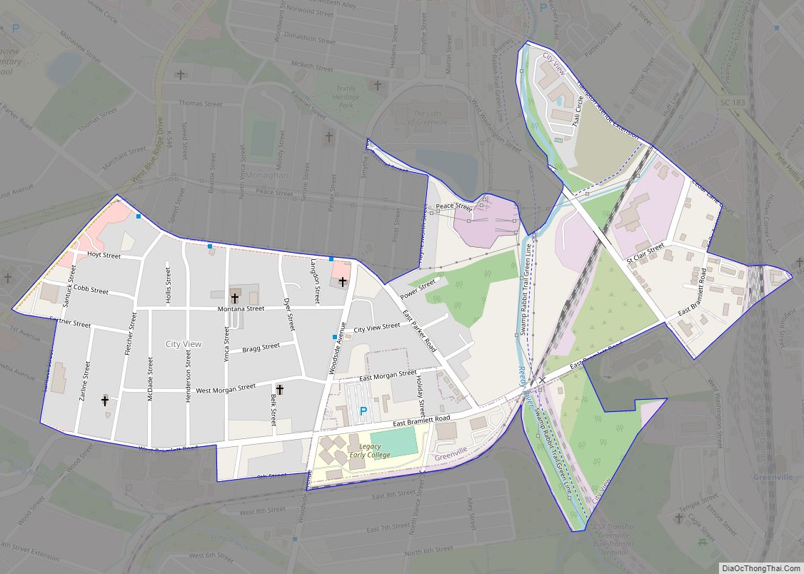
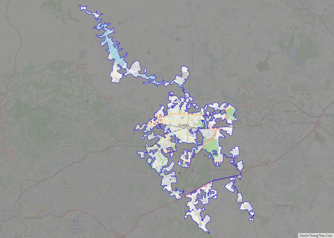
Taylors Road Map
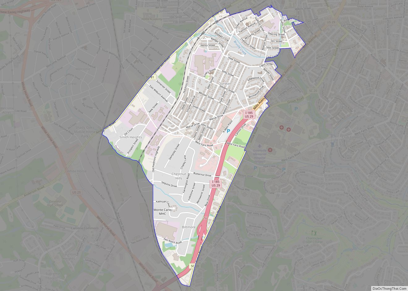
Taylors city Satellite Map
Geography
Taylors is located at 34°54′48″N 82°18′39″W / 34.91333°N 82.31083°W / 34.91333; -82.31083 (34.913236, -82.310817). The Enoree River flows through the community, and during the late nineteenth and early twentieth centuries, Chick Springs served as the focus of a small Upstate South Carolina resort community.
According to the United States Census Bureau, the CDP has a total area of 10.9 square miles (28 km), all land.
See also
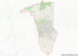
Map of South Carolina State and its subdivision:- Abbeville
- Aiken
- Allendale
- Anderson
- Bamberg
- Barnwell
- Beaufort
- Berkeley
- Calhoun
- Charleston
- Cherokee
- Chester
- Chesterfield
- Clarendon
- Colleton
- Darlington
- Dillon
- Dorchester
- Edgefield
- Fairfield
- Florence
- Georgetown
- Greenville
- Greenwood
- Hampton
- Horry
- Jasper
- Kershaw
- Lancaster
- Laurens
- Lee
- Lexington
- Marion
- Marlboro
- McCormick
- Newberry
- Oconee
- Orangeburg
- Pickens
- Richland
- Saluda
- Spartanburg
- Sumter
- Union
- Williamsburg
- York
- Alabama
- Alaska
- Arizona
- Arkansas
- California
- Colorado
- Connecticut
- Delaware
- District of Columbia
- Florida
- Georgia
- Hawaii
- Idaho
- Illinois
- Indiana
- Iowa
- Kansas
- Kentucky
- Louisiana
- Maine
- Maryland
- Massachusetts
- Michigan
- Minnesota
- Mississippi
- Missouri
- Montana
- Nebraska
- Nevada
- New Hampshire
- New Jersey
- New Mexico
- New York
- North Carolina
- North Dakota
- Ohio
- Oklahoma
- Oregon
- Pennsylvania
- Rhode Island
- South Carolina
- South Dakota
- Tennessee
- Texas
- Utah
- Vermont
- Virginia
- Washington
- West Virginia
- Wisconsin
- Wyoming
