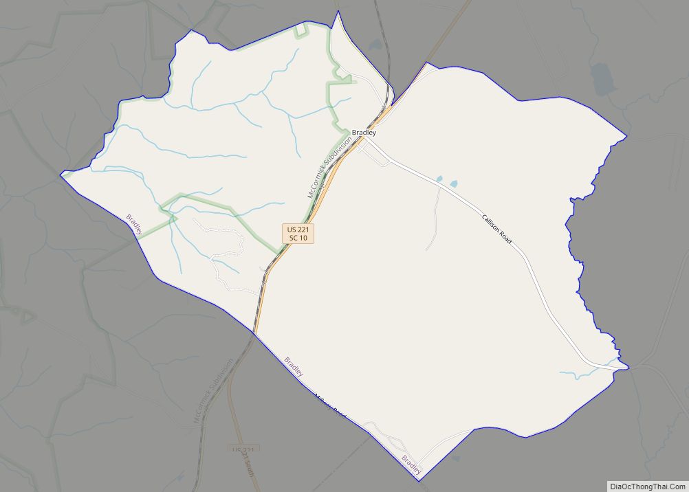
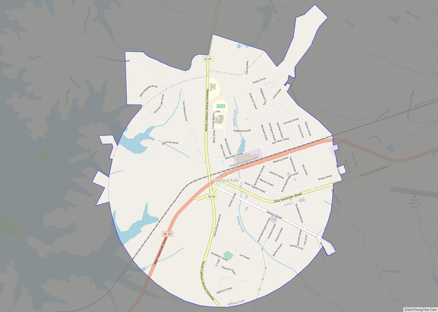
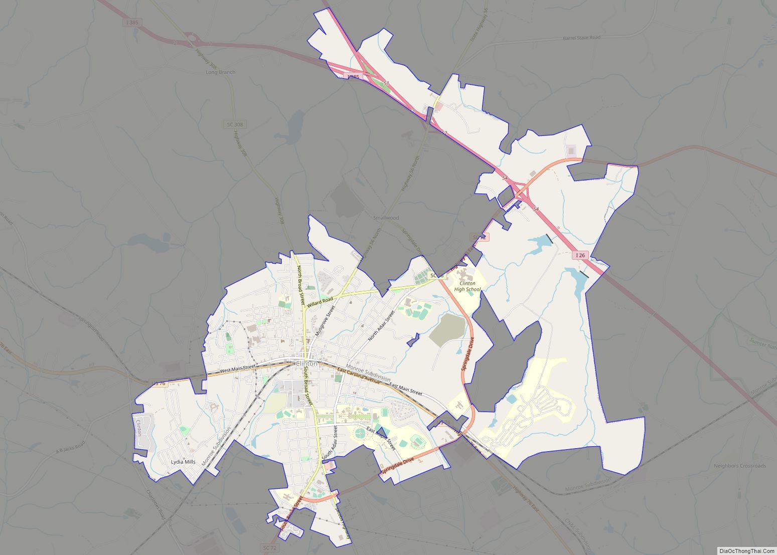
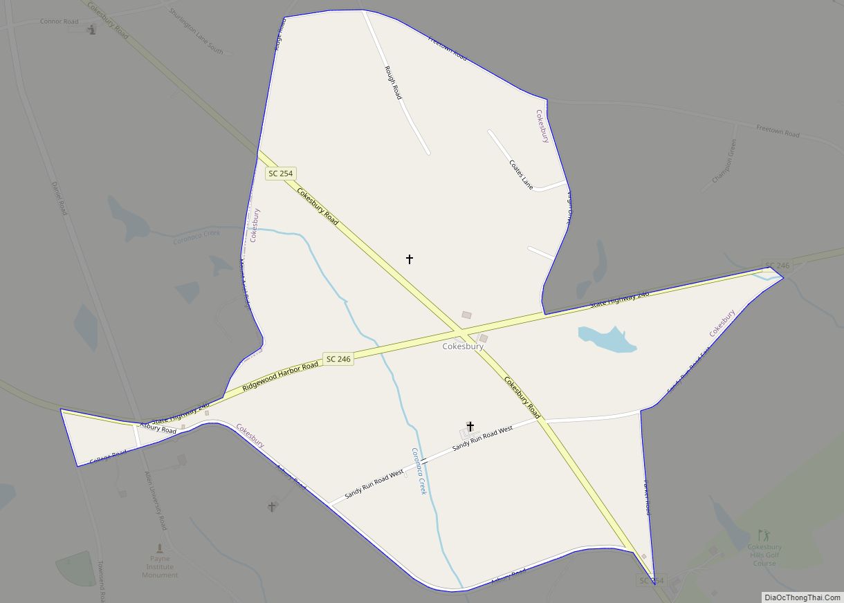
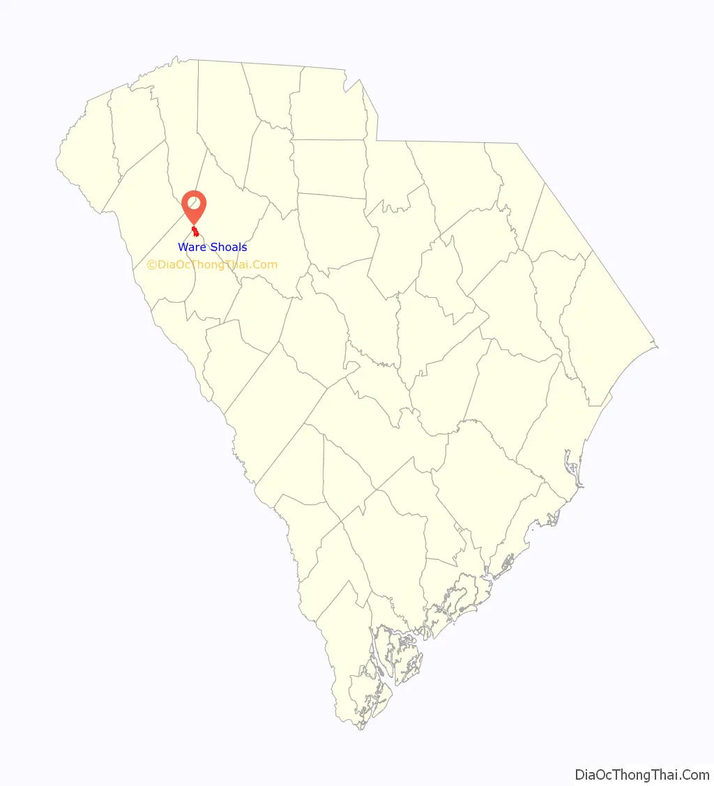
Ware Shoals is a town in Abbeville, Greenwood, and Laurens counties in the U.S. state of South Carolina, along the Saluda River . Ware Shoals has a 2020 population of 1,607. Ware Shoals is currently declining at a rate of -2.84% annually and its population has decreased by -5.53% since the most recent census, which recorded a population of 1,701 in 2010.
The Greenwood County portion of Ware Shoals is part of the Greenwood Micropolitan Statistical Area, while the Laurens County portion is part of the Greenville–Mauldin–Easley Metropolitan Statistical Area
| Name: | Ware Shoals town |
|---|---|
| LSAD Code: | 43 |
| LSAD Description: | town (suffix) |
| State: | South Carolina |
| County: | Abbeville County, Greenwood County, Laurens County |
| Elevation: | 633 ft (193 m) |
| Total Area: | 3.37 sq mi (8.73 km²) |
| Land Area: | 3.28 sq mi (8.49 km²) |
| Water Area: | 0.09 sq mi (0.24 km²) |
| Total Population: | 1,701 |
| Population Density: | 519.07/sq mi (200.42/km²) |
| ZIP code: | 29692 |
| Area code: | 864 |
| FIPS code: | 4574680 |
| GNISfeature ID: | 1251323 |
| Website: | www.facebook.com/townofwareshoals/ |
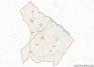
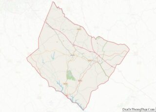
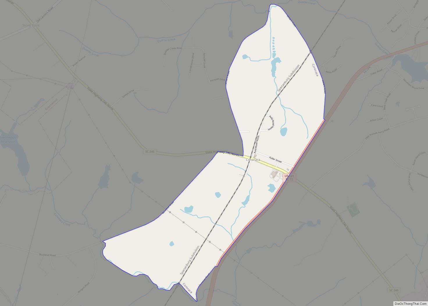
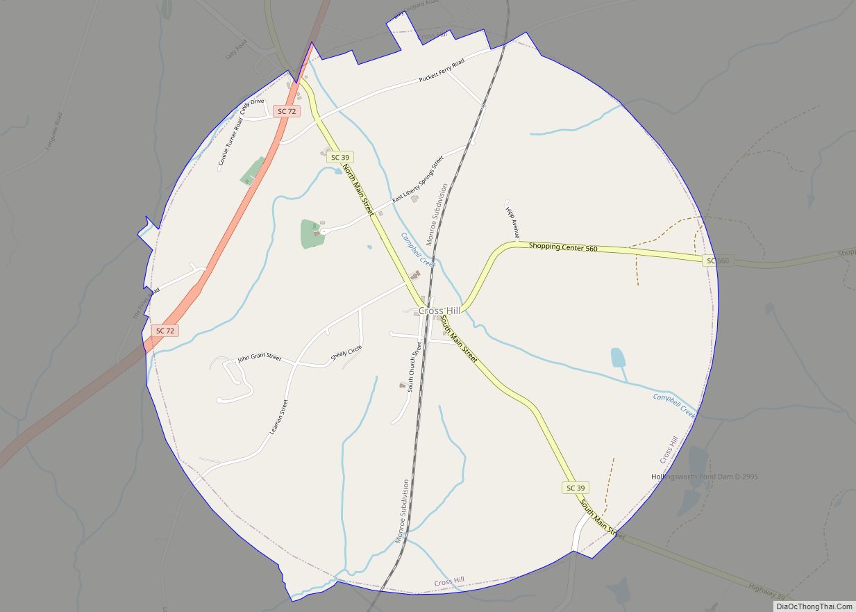
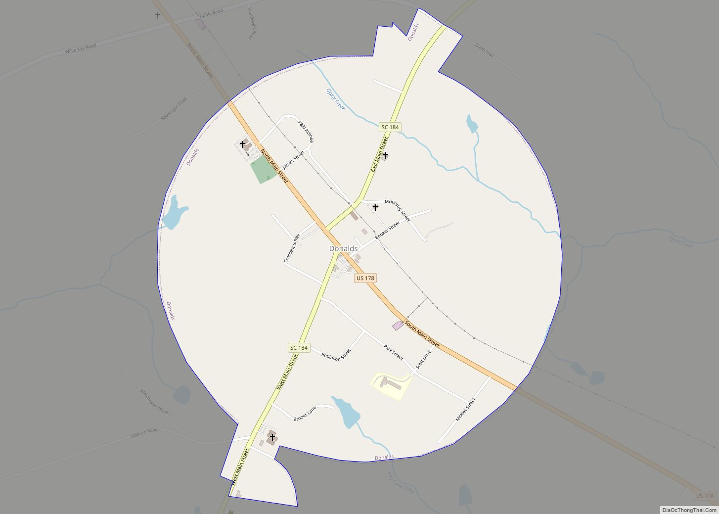
Online Interactive Map
Click on ![]() to view map in "full screen" mode.
to view map in "full screen" mode.
Ware Shoals location map. Where is Ware Shoals town?
History
Ware Shoals is the site of an old water wheel gristmill, which William Ware operated in the early 19th century at Rutledge Ford on the Saluda River.
Senator Nathaniel Barksdale Dial of Laurens County envisioned the possibility of damming this river to power a cotton mill. Dial started the project, but ran out of funds before the power plant was completed. Benjamin D. Riegel then bought the project from Dial and founded both the Ware Shoals Manufacturing Company and the town of Ware Shoals in 1902. The construction of a power plant was completed in 1904 as a prelude to the construction of a state-of-the-art textile mill in 1906. That power plant originally provided for 4,800 horse power. The mill contained 30,000 spindles. By 1916 a new mill was constructed containing 70,200 spindles and 1,300 looms.
Between 1904 and 1916 the population of Ware Shoals grew from 2 men employed to maintain the newly constructed power plant to 2,000. By the 1960s the mill employed 5,000 people. The founders of the mill and the original officers of the Ware Shoals Manufacturing Corporation were Benjamin Riegel, president and treasurer; James MacEnroe, assistant treasurer; and R. S. Oliver secretary. MacEnroe was instrumental in the construction of the town’s first school at the cost of $20,000. The mill employed the school’s eight teachers and required many of its employees and their children to attend classes.
Benjamin Riegel helped organize the town’s first church when he brought a Presbyterian preacher, Rev. J. M. Dallas. That first church building was intended as a union church building and the Methodists and Presbyterians used it together, while the Baptists constructed their own facility.
By 1916, the town was as new and modern as any in South Carolina. In addition to the cotton mill and the school, the Ware Shoals Manufacturing Corporation, later known as Riegel Textile Corporation, helped give the town electric lights, water and sewerage and good streets. The mill operated a bank, a railway, an ice factory, a cotton gin and a cotton seed oil mill. A community center was built by the textile company at a cost of $40,000.
“The People’s Amusement Hall” is what Benjamin Riegel set out to build, but was so proud of it that he named it the Katherine Hall in honor of his daughter. Katherine Hall at various times housed or hosted a movie theater, the community library, a Masonic Lodge, a pool hall, a teen canteen as well as showers and dressing rooms for the adjacent public swimming pool.
The mill also operated a department store, or “company store”, as was common in mill towns through the South. The store began as a one-room shanty in 1906. By 1920, a newly constructed store was on its way to becoming one of the best and most modern department stores in the state. Here one could find everything from a cradle to a casket. There was a soda fountain where the community members socialized, toy department, pharmacy, candy counter, men’s shop, ladies’ ready-to-wear section, furniture department, bargain basement, grocery store, and cloth shop. The store’s motto was “You can buy in one store anything from a paper and pen to a Ford automobile, from a baby girl’s rattle to her wedding dress.”
In 1926 a large school building was constructed to accommodate the Caucasian students. This building is still used today as the Ware Shoals High School and remains one of the oldest South Carolina school buildings still in use.
Riegel Stadium was built in 1931. The stadium was first used for football games in 1934. Lighting was installed a year later, allowing night games as well. Through the decades, Riegel Stadium has hosted high school teams, textile baseball leagues, and the Negro baseball leagues. In 1954, the stadium hosted an exhibition game between the Cincinnati Red Legs and The Washington Senators.
In 1939 muralist Alice Kindler was commissioned by the WPA to complete a mural for the local post office. The WPA was a New Deal agency that employed individuals to carry out public works projects. The mural was completed in 1940 and titled, American Landscape.
Beginning in the 1940s, “The Big Friendly” began an early shopper loyalty program by conducting a drawing just before Christmas to award an automobile to one lucky patron. “The Big Friendly” remained a central part of life in Ware Shoals until its closing in 1963. It soon became the SEO, or Southern Executive Offices of the Riegel Textile Corporation. With the closing of the mill and the end of Riegel Textile, the town bought the building and located its City Hall in the now-historic building.
In the 1950s, the Emma Maddox School was completed for African American students. Maddox was a stern disciplinarian and much respected teacher and principal. The Emma Maddox Building of the current Ware Shoals Middle School was named in her honor, in recognition of her contributions to the educational, spiritual and civic lives of African Americans in the greater Ware Shoal’s area. When public schools were integrated in 1969, Emma Maddox School became the middle school for all students in the community.
Portions of the movie Leatherheads was filmed in Ware Shoals.
The Ware Shoals Inn was listed on the National Register of Historic Places in 2007.
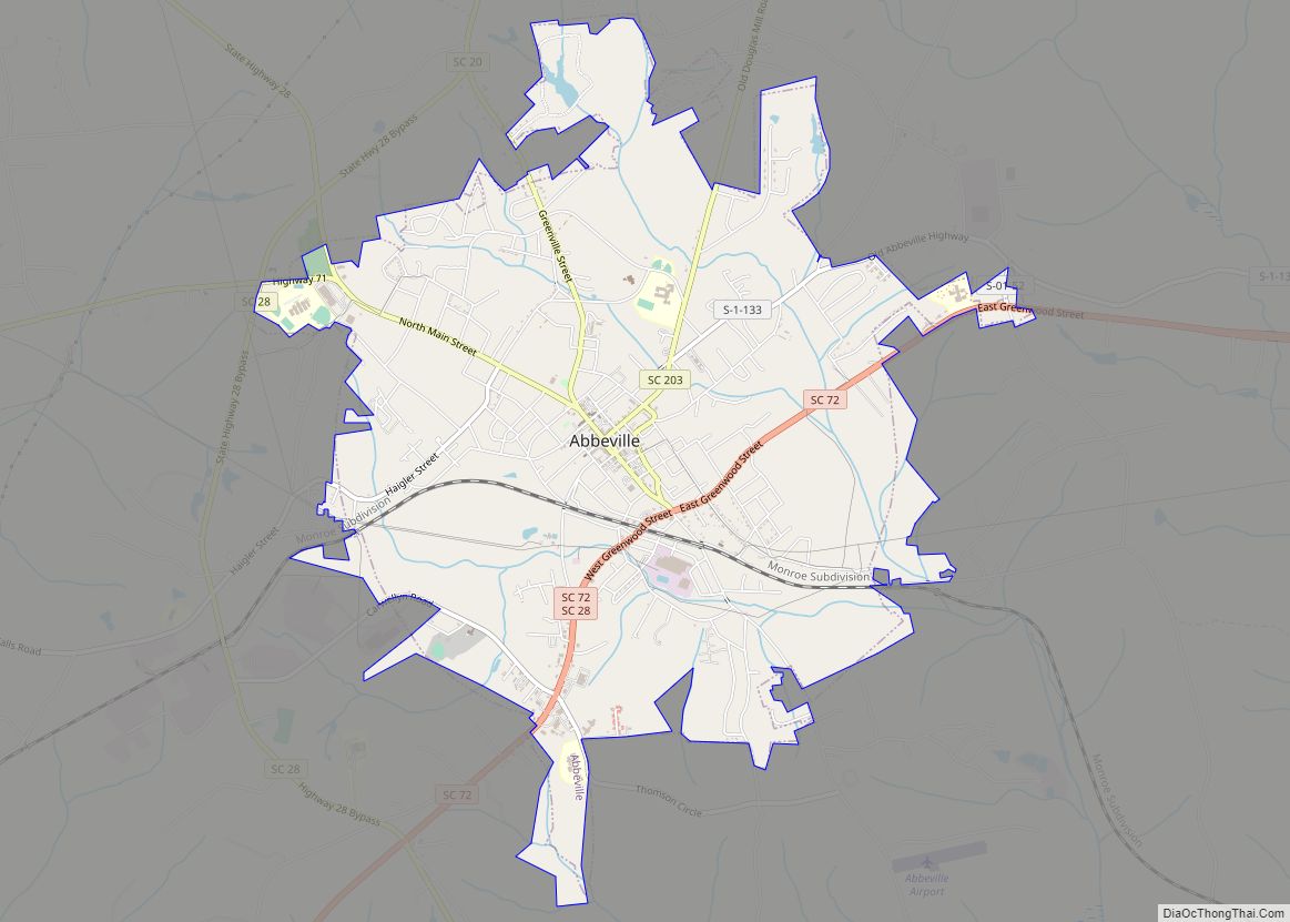
Ware Shoals Road Map

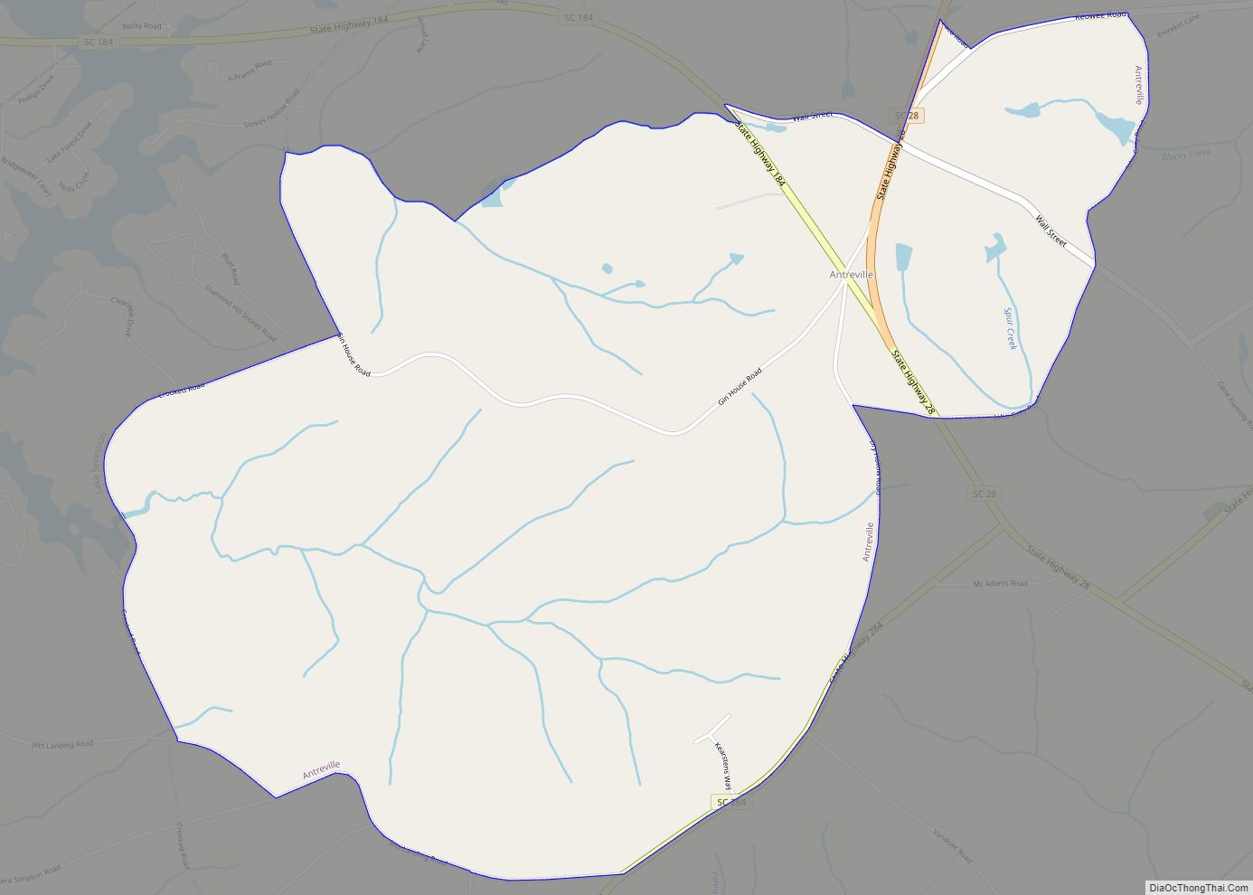
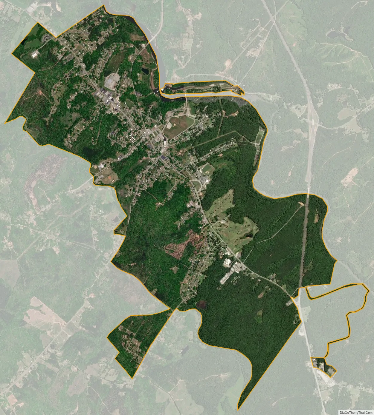
Ware Shoals city Satellite Map
Geography
Ware Shoals is located at 34°23′48″N 82°14′42″W / 34.39667°N 82.24500°W / 34.39667; -82.24500 (34.396714, -82.244948).
According to the United States Census Bureau, the town has a total area of 4.0 square miles (10.4 km), of which 3.9 square miles (10.1 km) is land and 0.12 square miles (0.3 km), or 2.98%, is water.
See also
Map of South Carolina State and its subdivision:- Abbeville
- Aiken
- Allendale
- Anderson
- Bamberg
- Barnwell
- Beaufort
- Berkeley
- Calhoun
- Charleston
- Cherokee
- Chester
- Chesterfield
- Clarendon
- Colleton
- Darlington
- Dillon
- Dorchester
- Edgefield
- Fairfield
- Florence
- Georgetown
- Greenville
- Greenwood
- Hampton
- Horry
- Jasper
- Kershaw
- Lancaster
- Laurens
- Lee
- Lexington
- Marion
- Marlboro
- McCormick
- Newberry
- Oconee
- Orangeburg
- Pickens
- Richland
- Saluda
- Spartanburg
- Sumter
- Union
- Williamsburg
- York
- Alabama
- Alaska
- Arizona
- Arkansas
- California
- Colorado
- Connecticut
- Delaware
- District of Columbia
- Florida
- Georgia
- Hawaii
- Idaho
- Illinois
- Indiana
- Iowa
- Kansas
- Kentucky
- Louisiana
- Maine
- Maryland
- Massachusetts
- Michigan
- Minnesota
- Mississippi
- Missouri
- Montana
- Nebraska
- Nevada
- New Hampshire
- New Jersey
- New Mexico
- New York
- North Carolina
- North Dakota
- Ohio
- Oklahoma
- Oregon
- Pennsylvania
- Rhode Island
- South Carolina
- South Dakota
- Tennessee
- Texas
- Utah
- Vermont
- Virginia
- Washington
- West Virginia
- Wisconsin
- Wyoming