West Columbia, formerly Brookland, is a city and commuter town in the suburban eastern sections of Lexington County, South Carolina, United States. According to the 2010 census, the population was 14,988, and the 2019 population estimate was 17,998. West Columbia is bordered to the east by Columbia, the state capital, across the Congaree River. It is near Columbia’s city center or downtown district as well as the South Carolina State House and the Congaree Vista, known locally as “the Vista.” The city is bordered to the south by its sister suburb, Cayce. A small portion of the city borders the town of Lexington to the east. West Columbia is part of the greater Columbia, SC metropolitan statistical area.
| Name: | West Columbia city |
|---|---|
| LSAD Code: | 25 |
| LSAD Description: | city (suffix) |
| State: | South Carolina |
| County: | Lexington County |
| Elevation: | 282 ft (86 m) |
| Total Area: | 9.47 sq mi (24.53 km²) |
| Land Area: | 9.30 sq mi (24.08 km²) |
| Water Area: | 0.17 sq mi (0.45 km²) |
| Total Population: | 17,416 |
| Population Density: | 1,873.49/sq mi (723.38/km²) |
| Area code: | 803, 839 |
| FIPS code: | 4575850 |
| GNISfeature ID: | 1251380 |
| Website: | www.westcolumbiasc.gov |
Online Interactive Map
Click on ![]() to view map in "full screen" mode.
to view map in "full screen" mode.
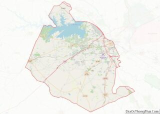
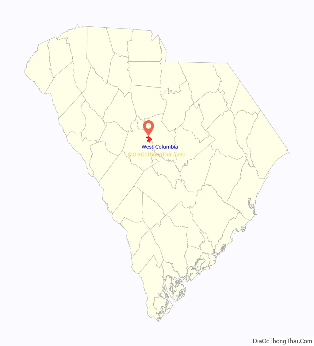
West Columbia location map. Where is West Columbia city?

History
West Columbia was incorporated in 1894 as “Brookland”, but the U.S. Postal Service called the town “New Brookland” since there was another town called Brookland. In 1936, the name was changed to “West Columbia” to emphasize its proximity to Columbia, the capital. Numerous businesses, churches and a high school retain the Brookland and New Brookland names.
The Gervais Street Bridge, Mount Hebron Temperance Hall, New Brookland Historic District, and Saluda Factory Historic District are listed on the National Register of Historic Places.
The 2008 South Carolina Learjet 60 crash occurred just before midnight on September 19, 2008, when a Learjet 60 (registration N999LJ) crashed while taking off from Columbia Metropolitan Airport. The weather at the time was cool, dry, and clear. The plane hit runway lights and crashed through the boundary fence, crossing South Carolina Highway 302 (SC 302/Edmund Highway/Airport Boulevard), and coming to rest on an embankment by the side of the highway. No one on the ground was hurt, but four of the six people on the plane (including both pilots) died in the crash, while the other two, Travis Barker (the drummer of Blink-182) and Adam Goldstein (DJ AM of Crazy Town), suffered severe burns. The plane was a charter flight taken by Barker, Goldstein and their entourage following a performance by their musical group TRV$DJAM at a free concert in Five Points earlier that night to Van Nuys, California.
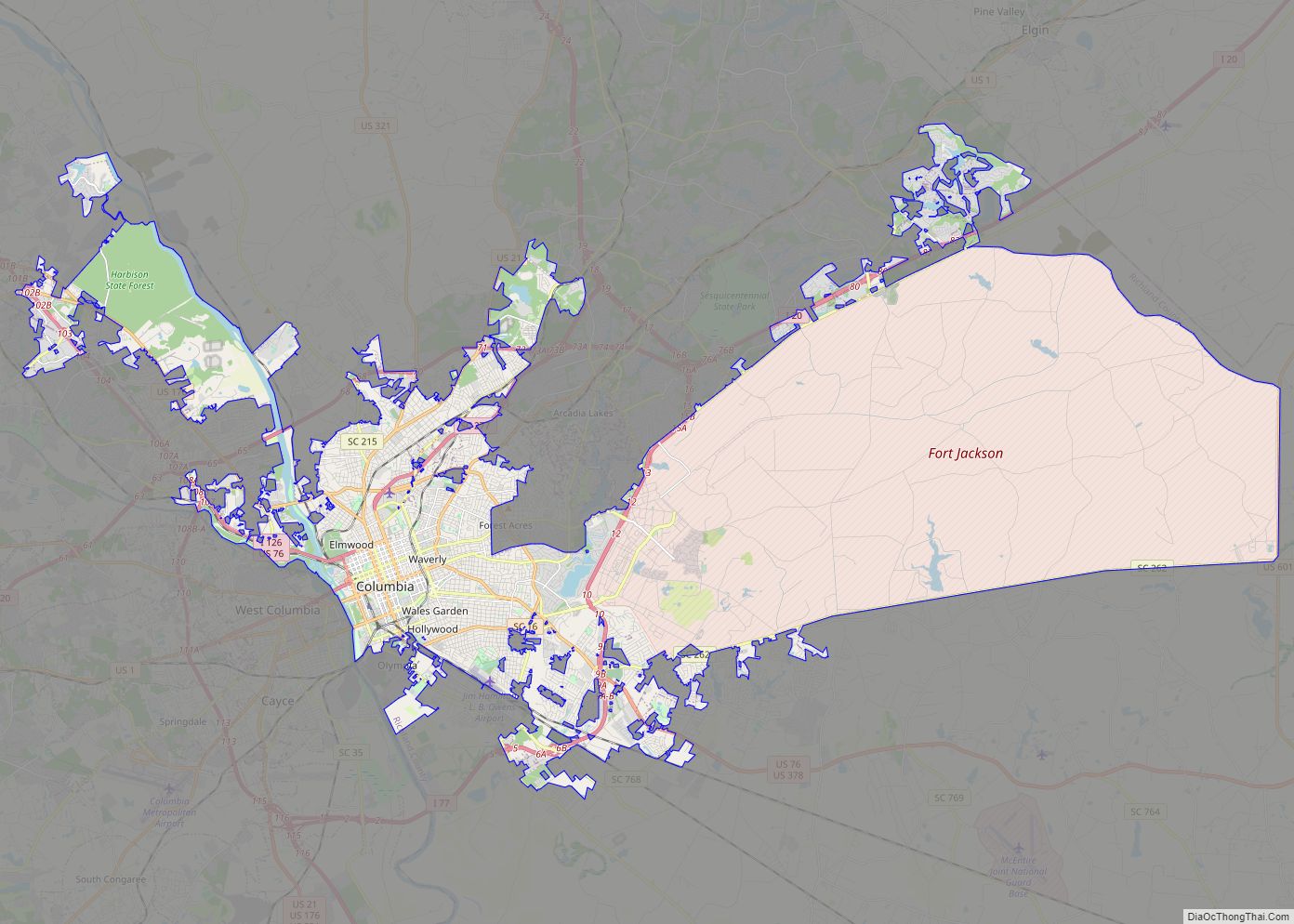
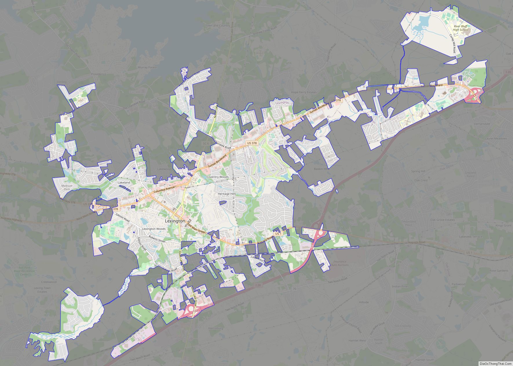
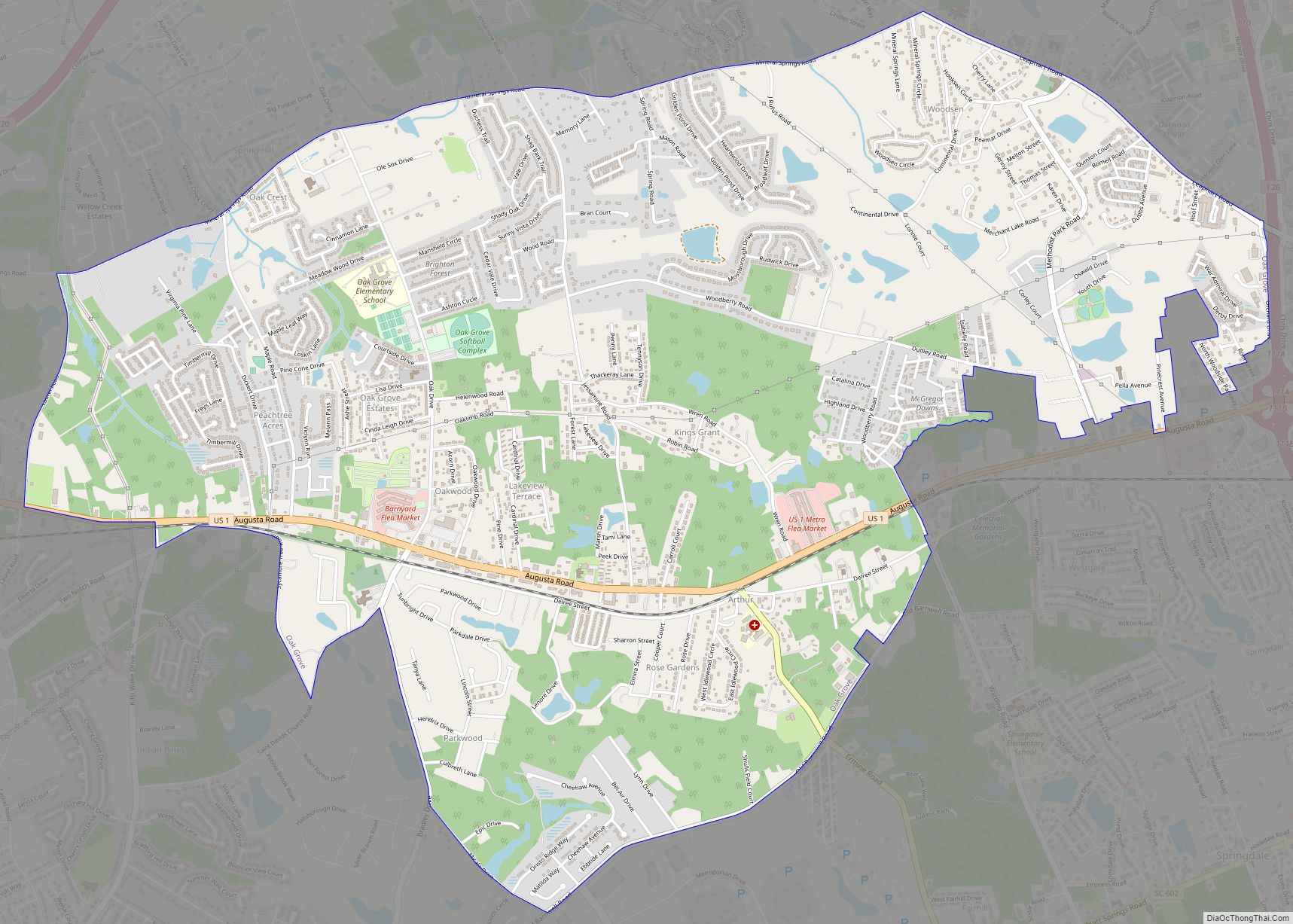
West Columbia Road Map

West Columbia city Satellite Map

Geography
West Columbia lies to the south and west of the Saluda and Congaree rivers.
According to the United States Census Bureau, the city has a total area of 6.3 square miles (16.3 km), of which 6.1 square miles (15.7 km) is land and 0.2 square mile (0.5 km) (3.18%) is water.
See also
Map of South Carolina State and its subdivision:- Abbeville
- Aiken
- Allendale
- Anderson
- Bamberg
- Barnwell
- Beaufort
- Berkeley
- Calhoun
- Charleston
- Cherokee
- Chester
- Chesterfield
- Clarendon
- Colleton
- Darlington
- Dillon
- Dorchester
- Edgefield
- Fairfield
- Florence
- Georgetown
- Greenville
- Greenwood
- Hampton
- Horry
- Jasper
- Kershaw
- Lancaster
- Laurens
- Lee
- Lexington
- Marion
- Marlboro
- McCormick
- Newberry
- Oconee
- Orangeburg
- Pickens
- Richland
- Saluda
- Spartanburg
- Sumter
- Union
- Williamsburg
- York
- Alabama
- Alaska
- Arizona
- Arkansas
- California
- Colorado
- Connecticut
- Delaware
- District of Columbia
- Florida
- Georgia
- Hawaii
- Idaho
- Illinois
- Indiana
- Iowa
- Kansas
- Kentucky
- Louisiana
- Maine
- Maryland
- Massachusetts
- Michigan
- Minnesota
- Mississippi
- Missouri
- Montana
- Nebraska
- Nevada
- New Hampshire
- New Jersey
- New Mexico
- New York
- North Carolina
- North Dakota
- Ohio
- Oklahoma
- Oregon
- Pennsylvania
- Rhode Island
- South Carolina
- South Dakota
- Tennessee
- Texas
- Utah
- Vermont
- Virginia
- Washington
- West Virginia
- Wisconsin
- Wyoming