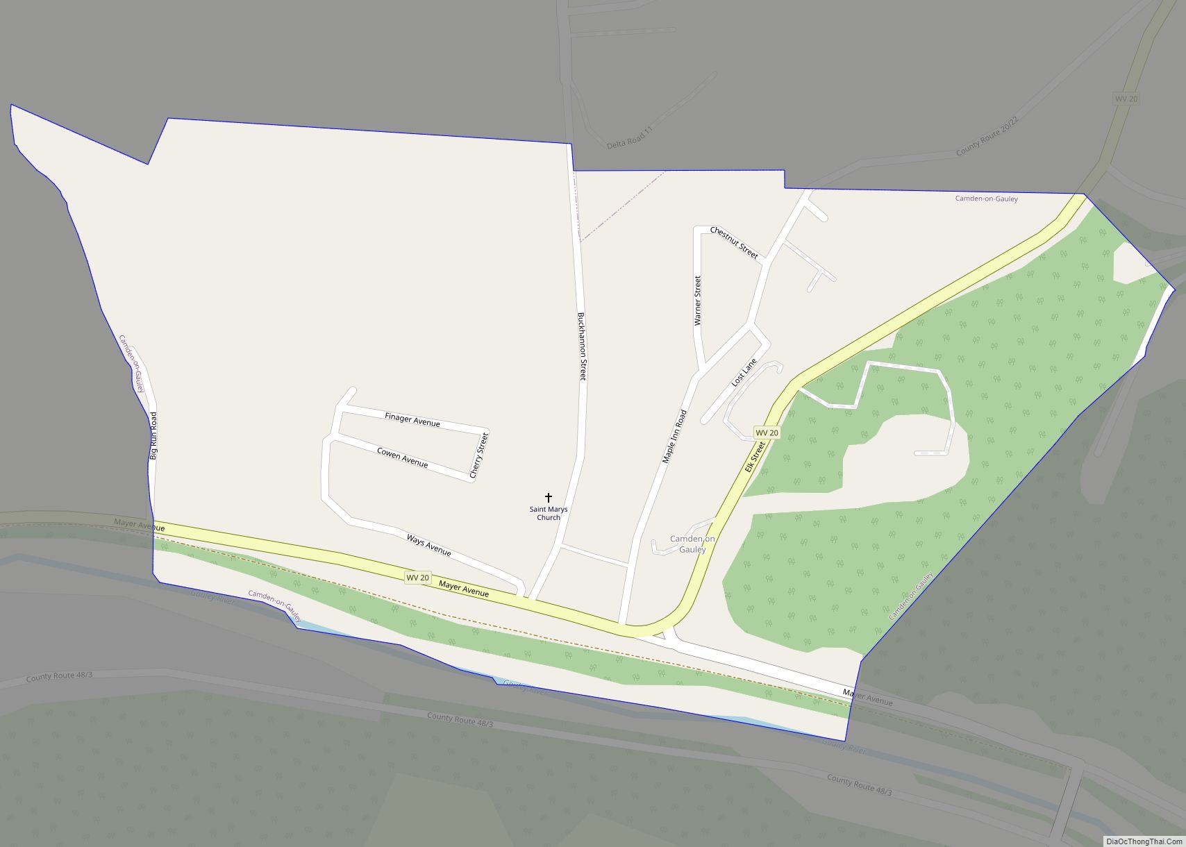
Camden-on-Gauley is a town in Webster County, West Virginia, United States, along the Gauley River. The population was 126 at the 2020 census.
The town derives its name from Johnson N. Camden, a senator who was the proprietor of several businesses on the nearby Gauley River. The town was originally called Lanes Bottom, but was changed to Camden-on-Gauley when incorporated in 1904.
| Name: | Camden-on-Gauley town |
|---|---|
| LSAD Code: | 43 |
| LSAD Description: | town (suffix) |
| State: | West Virginia |
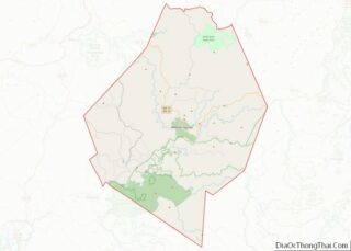
| County: | Webster County |
| Total Area: | 0.33 sq mi (0.86 km²) |
| Land Area: | 0.33 sq mi (0.84 km²) |
| Water Area: | 0.01 sq mi (0.02 km²) |
| Total Population: | 126 |
| Population Density: | 446.15/sq mi (172.21/km²) |
| ZIP code: | 26208 |
| Area code: | 304 |
| FIPS code: | 5412436 |
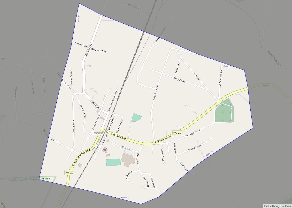
Online Interactive Map
Click on ![]() to view map in "full screen" mode.
to view map in "full screen" mode.
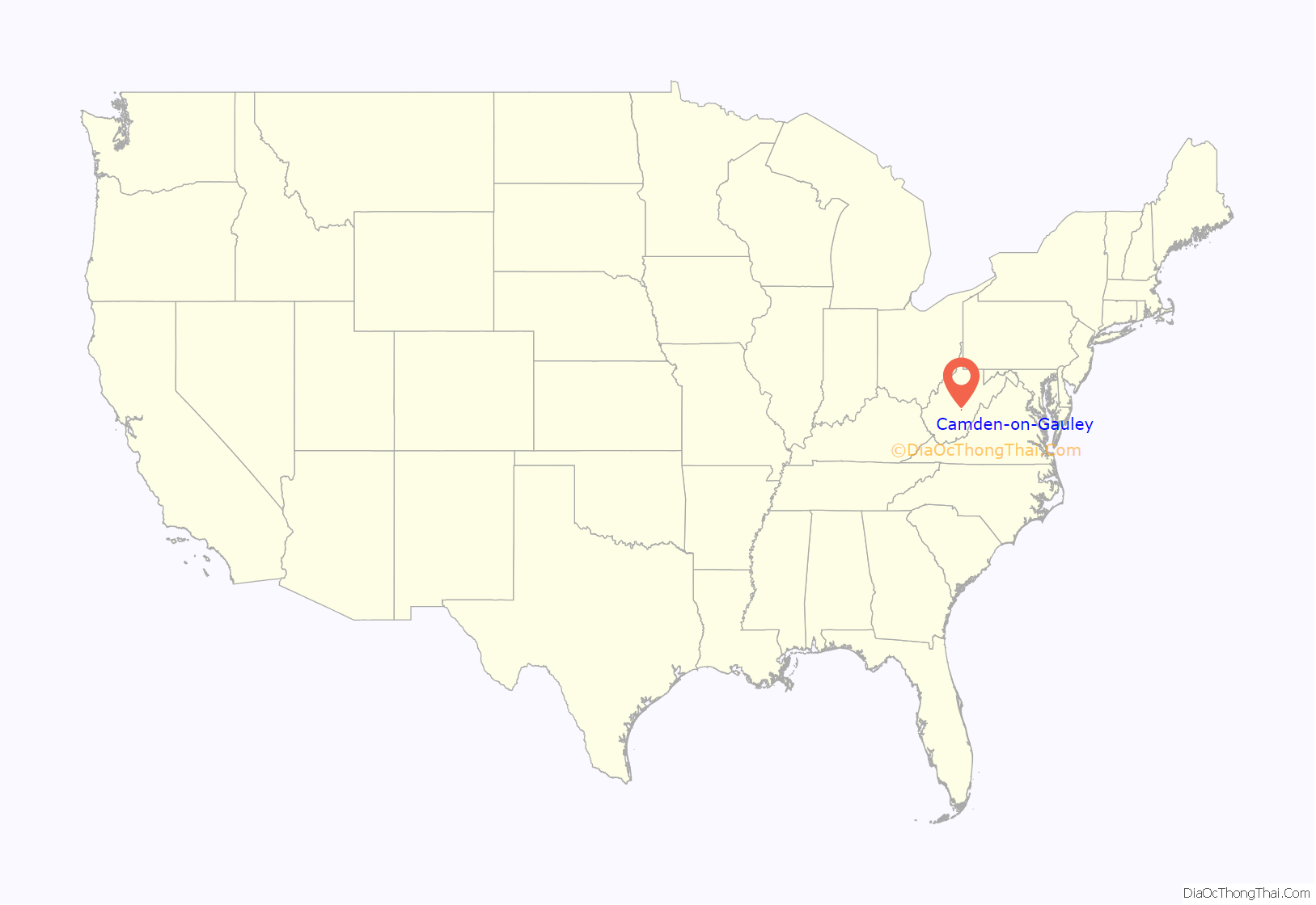
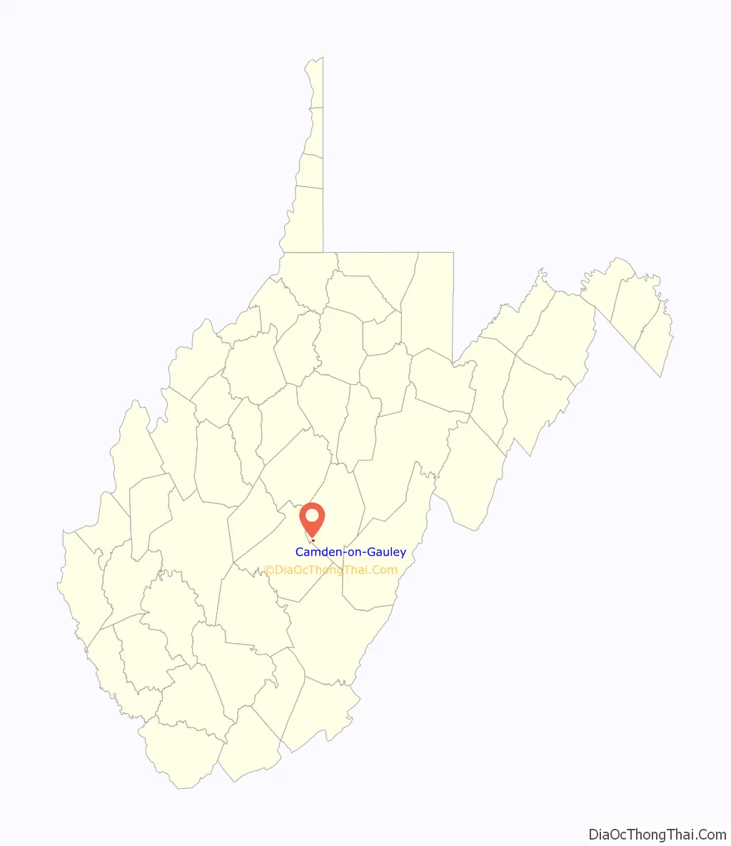
Camden-on-Gauley location map. Where is Camden-on-Gauley town?
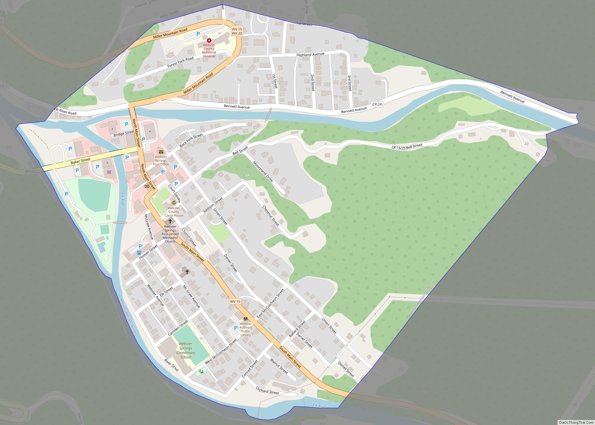
Camden-on-Gauley Road Map
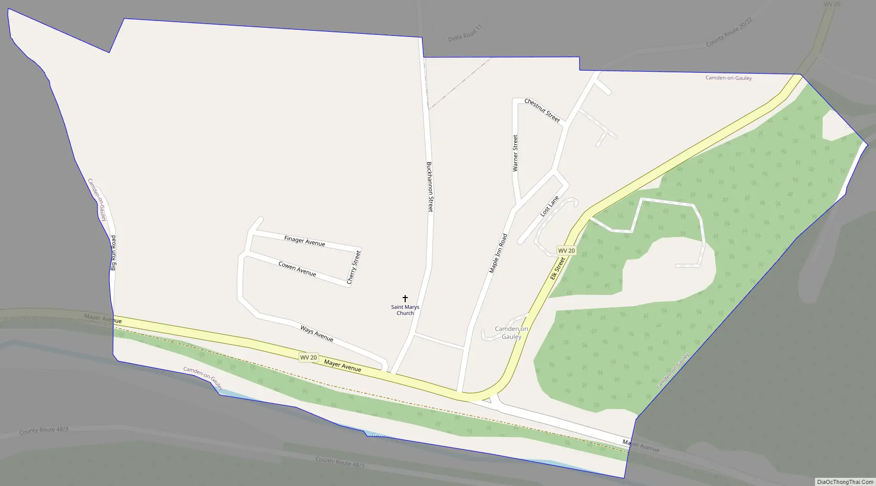
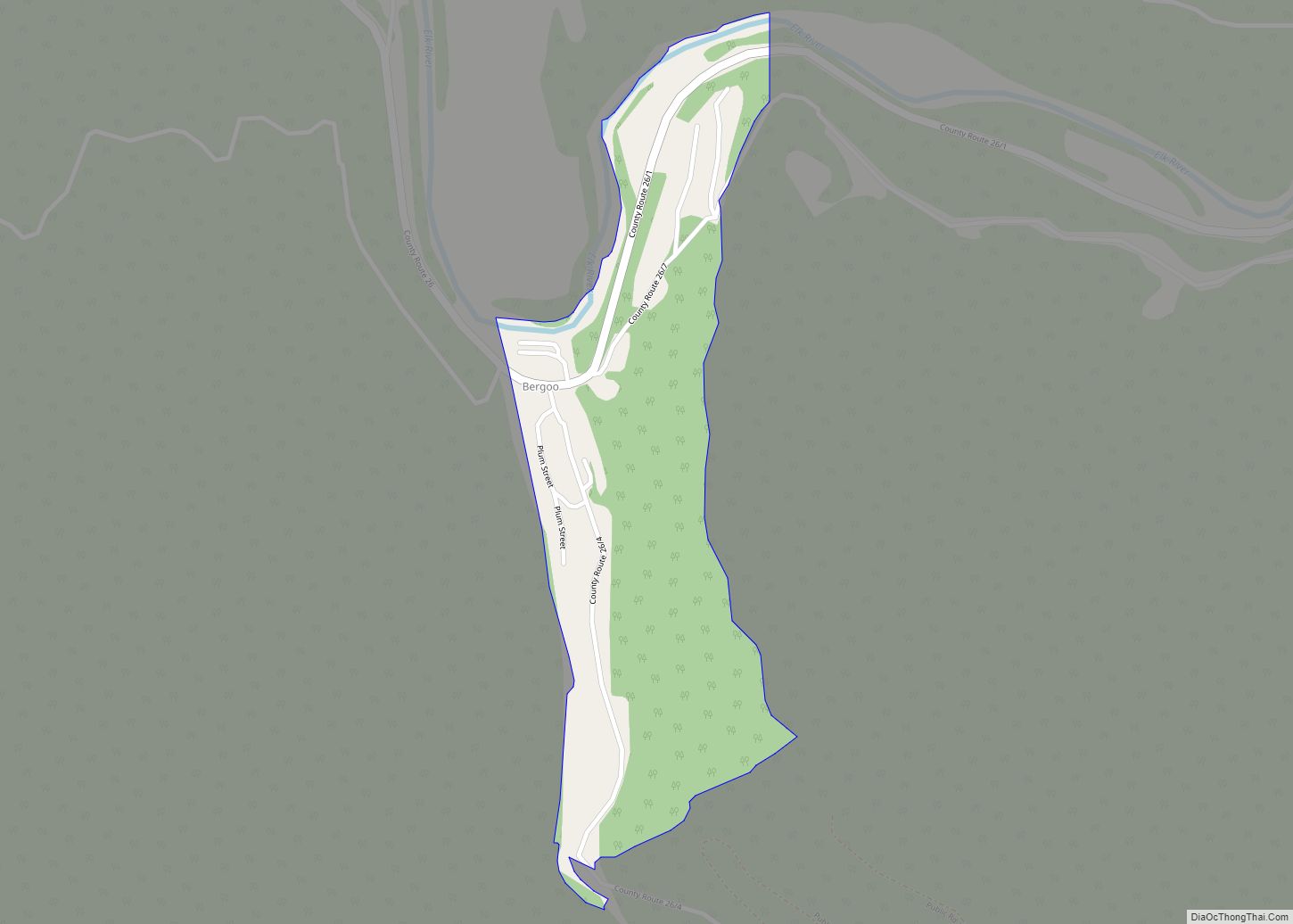
Camden-on-Gauley city Satellite Map
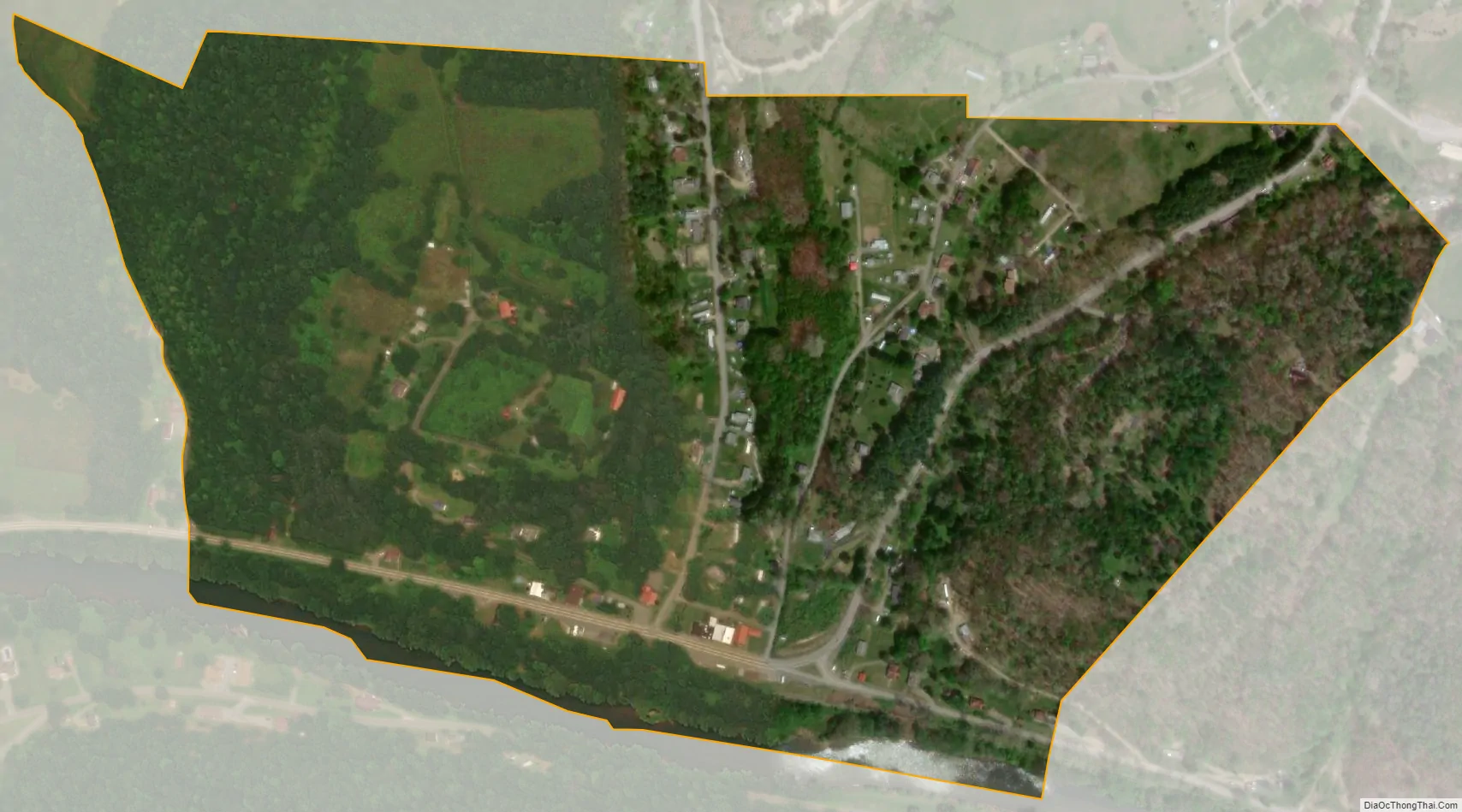
Geography
Camden-on-Gauley is located at 38°22′8″N 80°35′47″W / 38.36889°N 80.59639°W / 38.36889; -80.59639 (38.368782, -80.596459).
According to the United States Census Bureau, the town has a total area of 0.34 square miles (0.88 km), of which 0.33 square miles (0.85 km) is land and 0.01 square miles (0.03 km) is water.
See also
Map of West Virginia State and its subdivision:- Barbour
- Berkeley
- Boone
- Braxton
- Brooke
- Cabell
- Calhoun
- Clay
- Doddridge
- Fayette
- Gilmer
- Grant
- Greenbrier
- Hampshire
- Hancock
- Hardy
- Harrison
- Jackson
- Jefferson
- Kanawha
- Lewis
- Lincoln
- Logan
- Marion
- Marshall
- Mason
- McDowell
- Mercer
- Mineral
- Mingo
- Monongalia
- Monroe
- Morgan
- Nicholas
- Ohio
- Pendleton
- Pleasants
- Pocahontas
- Preston
- Putnam
- Raleigh
- Randolph
- Ritchie
- Roane
- Summers
- Taylor
- Tucker
- Tyler
- Upshur
- Wayne
- Webster
- Wetzel
- Wirt
- Wood
- Wyoming
- Alabama
- Alaska
- Arizona
- Arkansas
- California
- Colorado
- Connecticut
- Delaware
- District of Columbia
- Florida
- Georgia
- Hawaii
- Idaho
- Illinois
- Indiana
- Iowa
- Kansas
- Kentucky
- Louisiana
- Maine
- Maryland
- Massachusetts
- Michigan
- Minnesota
- Mississippi
- Missouri
- Montana
- Nebraska
- Nevada
- New Hampshire
- New Jersey
- New Mexico
- New York
- North Carolina
- North Dakota
- Ohio
- Oklahoma
- Oregon
- Pennsylvania
- Rhode Island
- South Carolina
- South Dakota
- Tennessee
- Texas
- Utah
- Vermont
- Virginia
- Washington
- West Virginia
- Wisconsin
- Wyoming