Cowen is a town in Webster County, West Virginia, United States. The population was 488 at the 2020 census.
| Name: | Cowen town |
|---|---|
| LSAD Code: | 43 |
| LSAD Description: | town (suffix) |
| State: | West Virginia |
| County: | Webster County |
| Elevation: | 2,270 ft (692 m) |
| Total Area: | 0.63 sq mi (1.63 km²) |
| Land Area: | 0.63 sq mi (1.63 km²) |
| Water Area: | 0.00 sq mi (0.00 km²) |
| Total Population: | 488 |
| Population Density: | 744.04/sq mi (287.17/km²) |
| ZIP code: | 26206 |
| Area code: | 304 |
| FIPS code: | 5418412 |
| GNISfeature ID: | 1554208 |
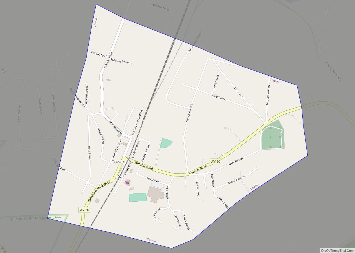
Online Interactive Map
Click on ![]() to view map in "full screen" mode.
to view map in "full screen" mode.
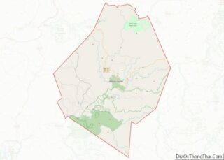
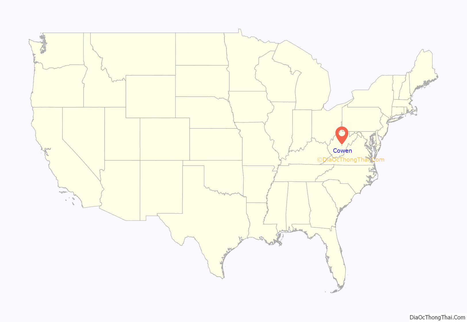
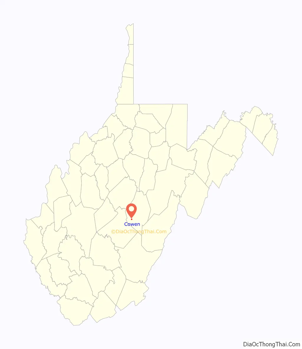
Cowen location map. Where is Cowen town?
History
Cowen was named for a president of the Baltimore and Ohio Railroad.
Camp Caesar was listed on the National Register of Historic Places in 2009.
The West Virginia Baptist Camp is just outside Cowen, on the Williams River Road. It was established in 1943 and has been in continuous use each summer since then.
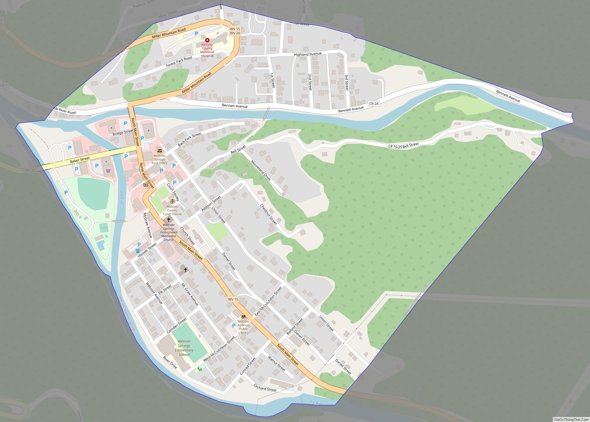
Cowen Road Map
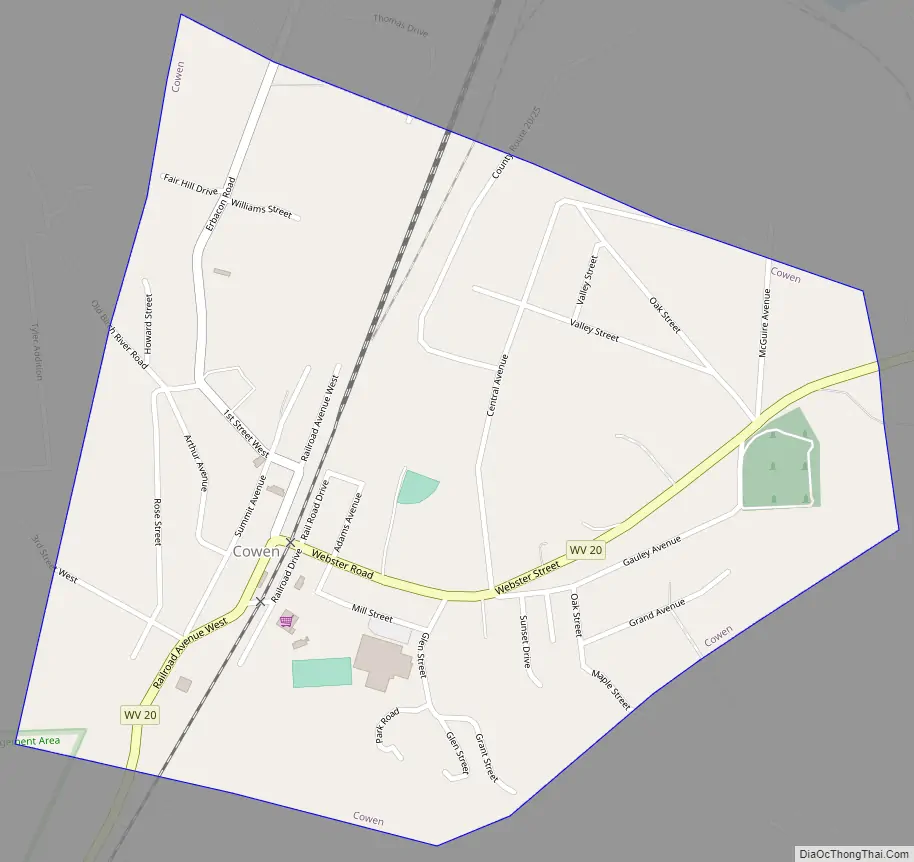
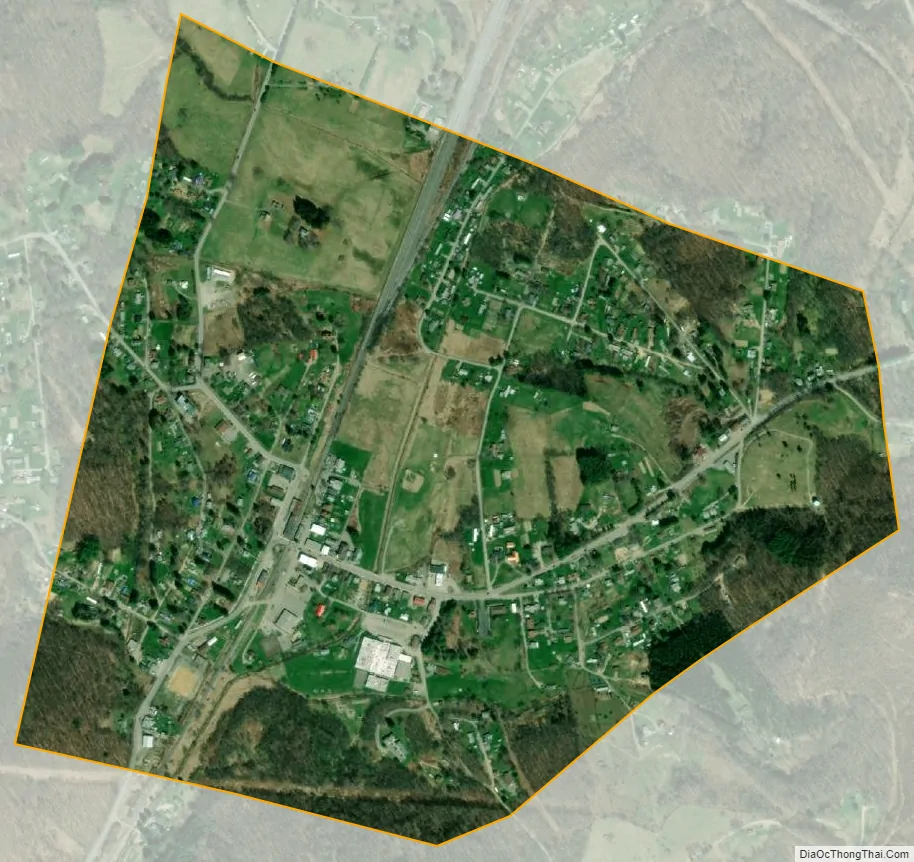
Cowen city Satellite Map
Geography
Cowen is located at 38°24′38″N 80°33′21″W / 38.41056°N 80.55583°W / 38.41056; -80.55583 (38.410605, -80.555695).
According to the United States Census Bureau, the town has a total area of 0.63 square miles (1.63 km), all land.
See also
Map of West Virginia State and its subdivision:- Barbour
- Berkeley
- Boone
- Braxton
- Brooke
- Cabell
- Calhoun
- Clay
- Doddridge
- Fayette
- Gilmer
- Grant
- Greenbrier
- Hampshire
- Hancock
- Hardy
- Harrison
- Jackson
- Jefferson
- Kanawha
- Lewis
- Lincoln
- Logan
- Marion
- Marshall
- Mason
- McDowell
- Mercer
- Mineral
- Mingo
- Monongalia
- Monroe
- Morgan
- Nicholas
- Ohio
- Pendleton
- Pleasants
- Pocahontas
- Preston
- Putnam
- Raleigh
- Randolph
- Ritchie
- Roane
- Summers
- Taylor
- Tucker
- Tyler
- Upshur
- Wayne
- Webster
- Wetzel
- Wirt
- Wood
- Wyoming
- Alabama
- Alaska
- Arizona
- Arkansas
- California
- Colorado
- Connecticut
- Delaware
- District of Columbia
- Florida
- Georgia
- Hawaii
- Idaho
- Illinois
- Indiana
- Iowa
- Kansas
- Kentucky
- Louisiana
- Maine
- Maryland
- Massachusetts
- Michigan
- Minnesota
- Mississippi
- Missouri
- Montana
- Nebraska
- Nevada
- New Hampshire
- New Jersey
- New Mexico
- New York
- North Carolina
- North Dakota
- Ohio
- Oklahoma
- Oregon
- Pennsylvania
- Rhode Island
- South Carolina
- South Dakota
- Tennessee
- Texas
- Utah
- Vermont
- Virginia
- Washington
- West Virginia
- Wisconsin
- Wyoming