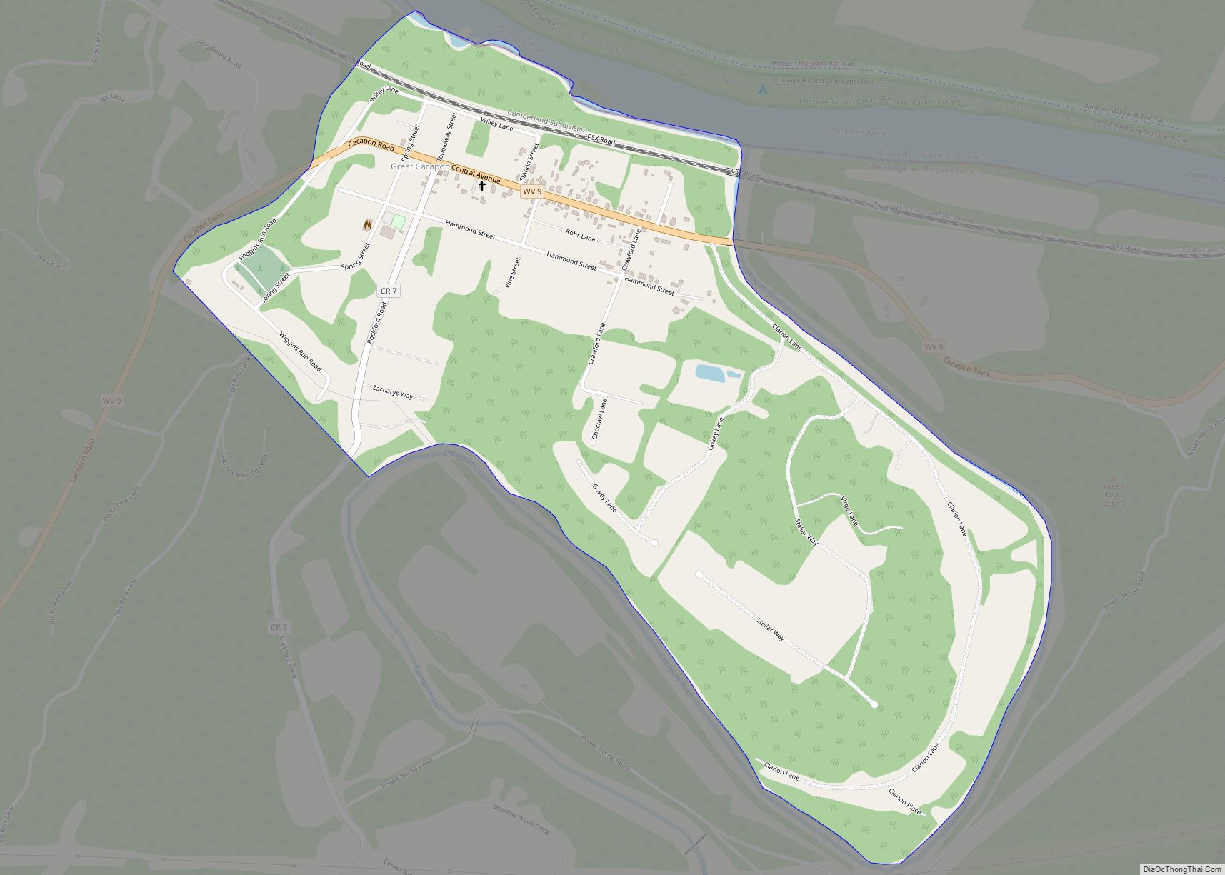
Great Cacapon (/kəˈkeɪpən/ kə-KAY-pən) is a census-designated place (CDP) in Morgan County in the U.S. state of West Virginia‘s Eastern Panhandle. As of the 2010 census, its population was 386.
Great Cacapon takes its name from the Cacapon River (from the Native American meaning “medicine water”) which empties into the Potomac River to the town’s east. It was originally known as Cacapon Depot on the Baltimore and Ohio Railroad mainline when a post office was established here in 1848. In 1876, its name was changed to Great Cacapon to differentiate it from Little Cacapon which was also on the B&O mainline. It lies four miles down Cacapon Mountain from the Panorama Overlook along Cacapon Road (West Virginia Route 9) west of Berkeley Springs.
| Name: | Great Cacapon CDP |
|---|---|
| LSAD Code: | 57 |
| LSAD Description: | CDP (suffix) |
| State: | West Virginia |
| County: | Morgan County |
| Total Area: | 0.857 sq mi (2.22 km²) |
| Land Area: | 0.857 sq mi (2.22 km²) |
| Water Area: | 0 sq mi (0 km²) |
| Total Population: | 386 |
| Population Density: | 450/sq mi (170/km²) |
| FIPS code: | 5433100 |
Online Interactive Map
Click on ![]() to view map in "full screen" mode.
to view map in "full screen" mode.
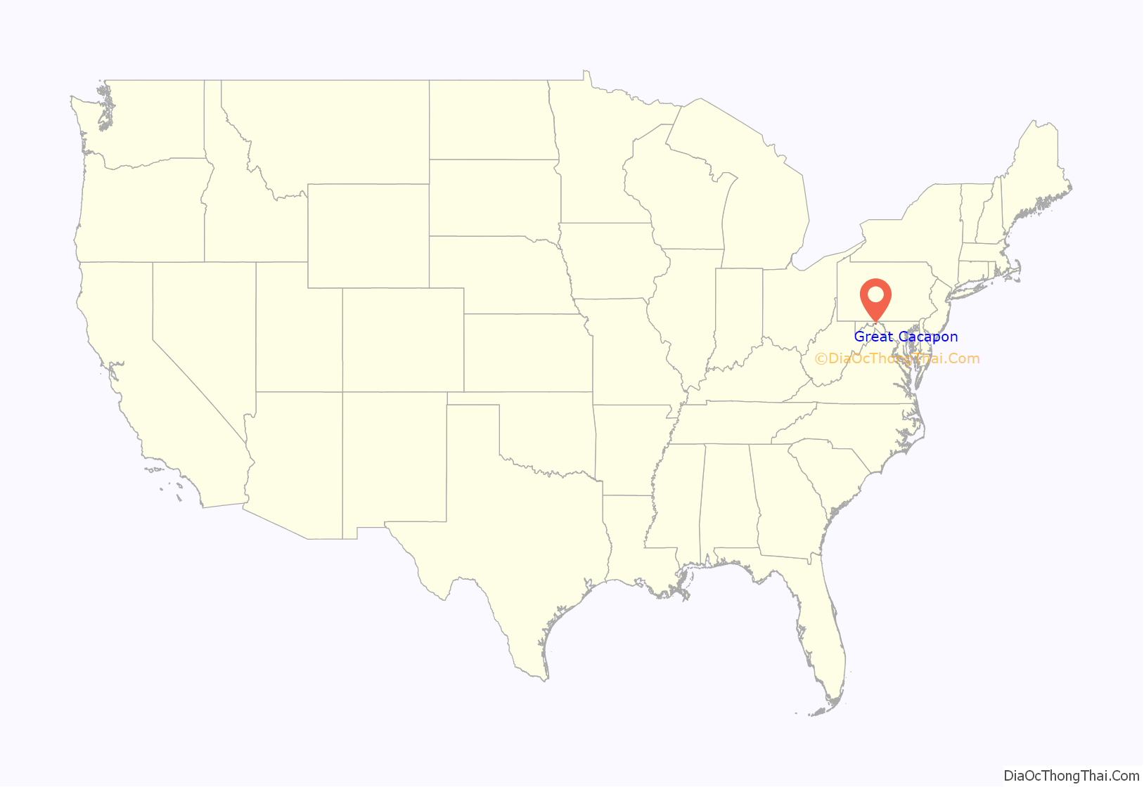
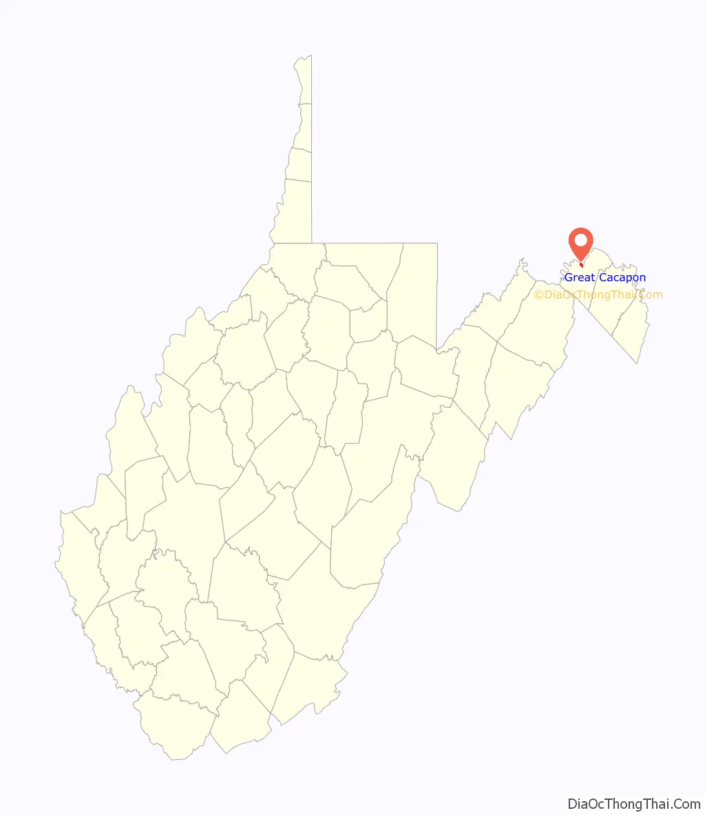
Great Cacapon location map. Where is Great Cacapon CDP?
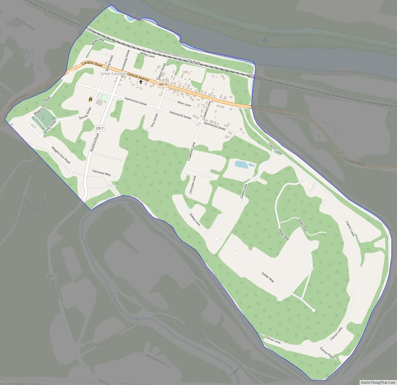
Great Cacapon Road Map
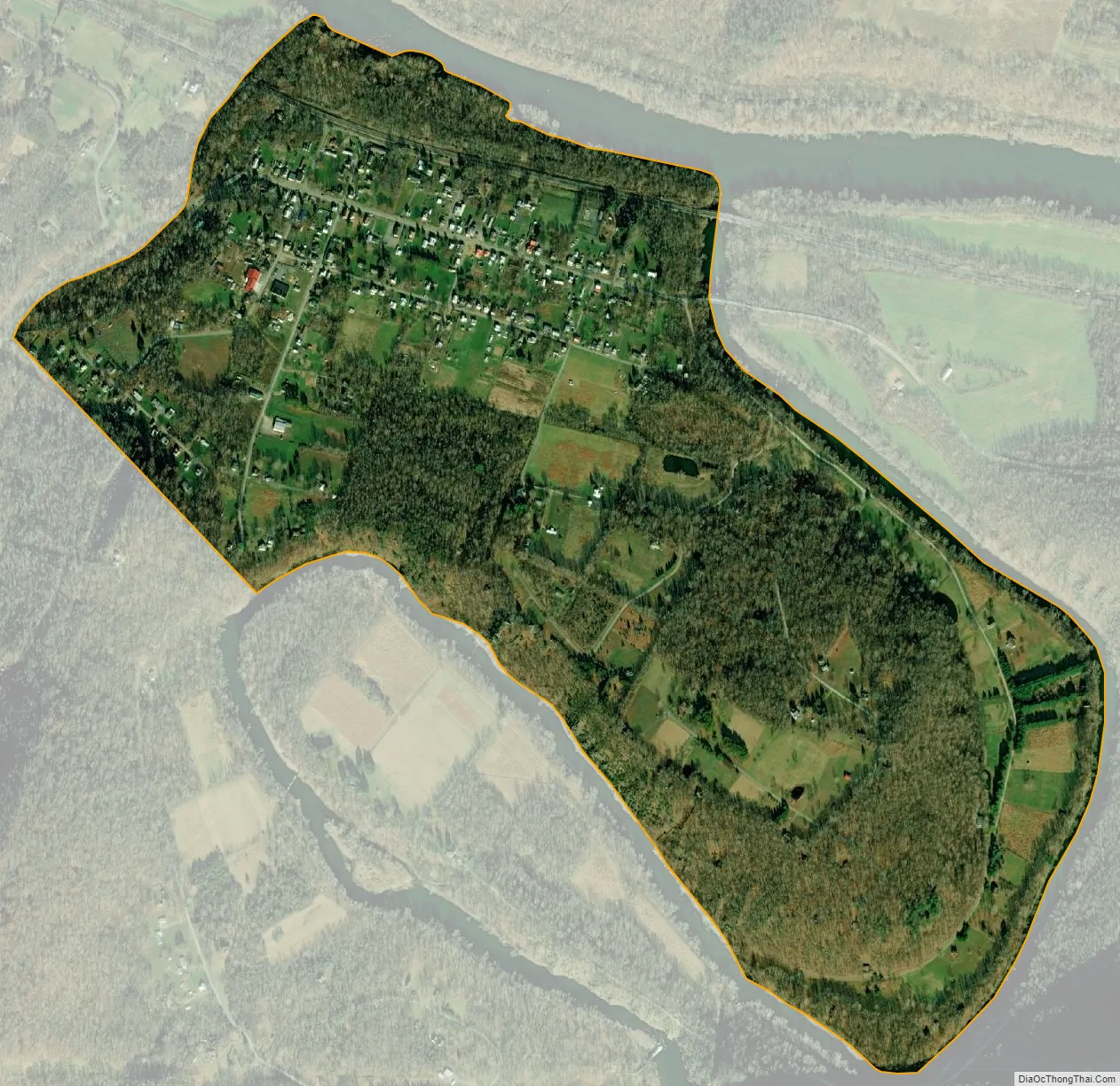
Great Cacapon city Satellite Map
See also
Map of West Virginia State and its subdivision:- Barbour
- Berkeley
- Boone
- Braxton
- Brooke
- Cabell
- Calhoun
- Clay
- Doddridge
- Fayette
- Gilmer
- Grant
- Greenbrier
- Hampshire
- Hancock
- Hardy
- Harrison
- Jackson
- Jefferson
- Kanawha
- Lewis
- Lincoln
- Logan
- Marion
- Marshall
- Mason
- McDowell
- Mercer
- Mineral
- Mingo
- Monongalia
- Monroe
- Morgan
- Nicholas
- Ohio
- Pendleton
- Pleasants
- Pocahontas
- Preston
- Putnam
- Raleigh
- Randolph
- Ritchie
- Roane
- Summers
- Taylor
- Tucker
- Tyler
- Upshur
- Wayne
- Webster
- Wetzel
- Wirt
- Wood
- Wyoming
- Alabama
- Alaska
- Arizona
- Arkansas
- California
- Colorado
- Connecticut
- Delaware
- District of Columbia
- Florida
- Georgia
- Hawaii
- Idaho
- Illinois
- Indiana
- Iowa
- Kansas
- Kentucky
- Louisiana
- Maine
- Maryland
- Massachusetts
- Michigan
- Minnesota
- Mississippi
- Missouri
- Montana
- Nebraska
- Nevada
- New Hampshire
- New Jersey
- New Mexico
- New York
- North Carolina
- North Dakota
- Ohio
- Oklahoma
- Oregon
- Pennsylvania
- Rhode Island
- South Carolina
- South Dakota
- Tennessee
- Texas
- Utah
- Vermont
- Virginia
- Washington
- West Virginia
- Wisconsin
- Wyoming