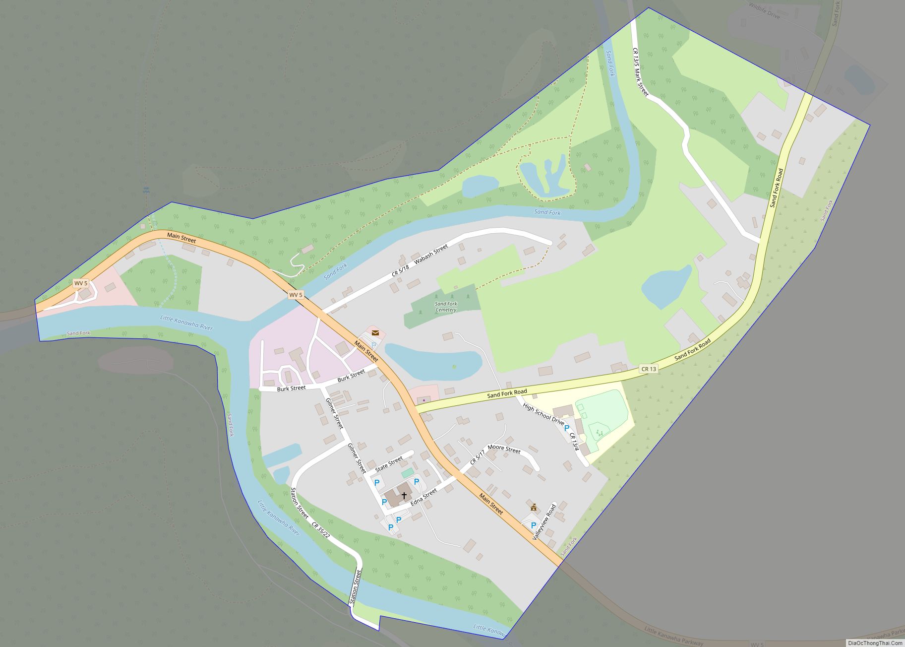
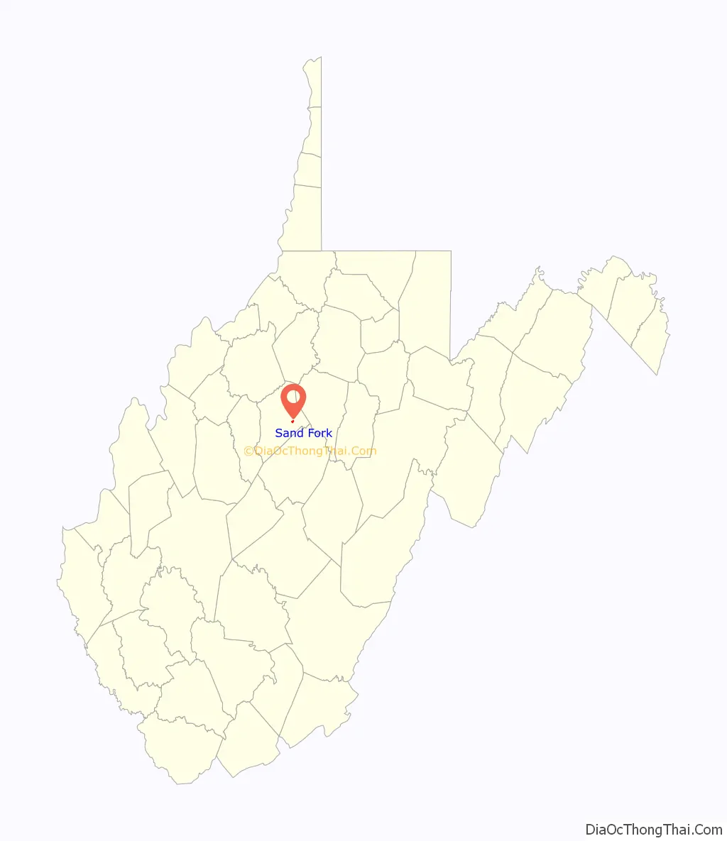
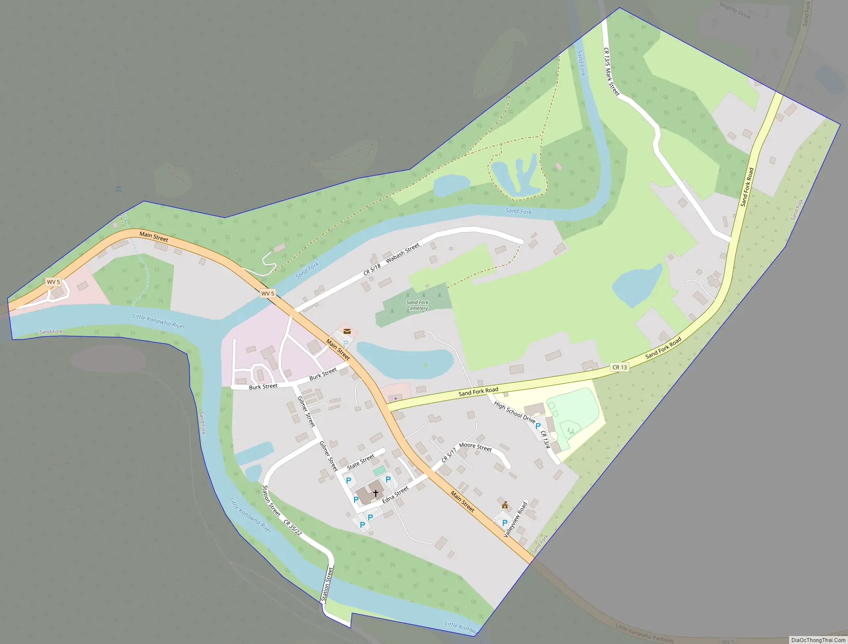
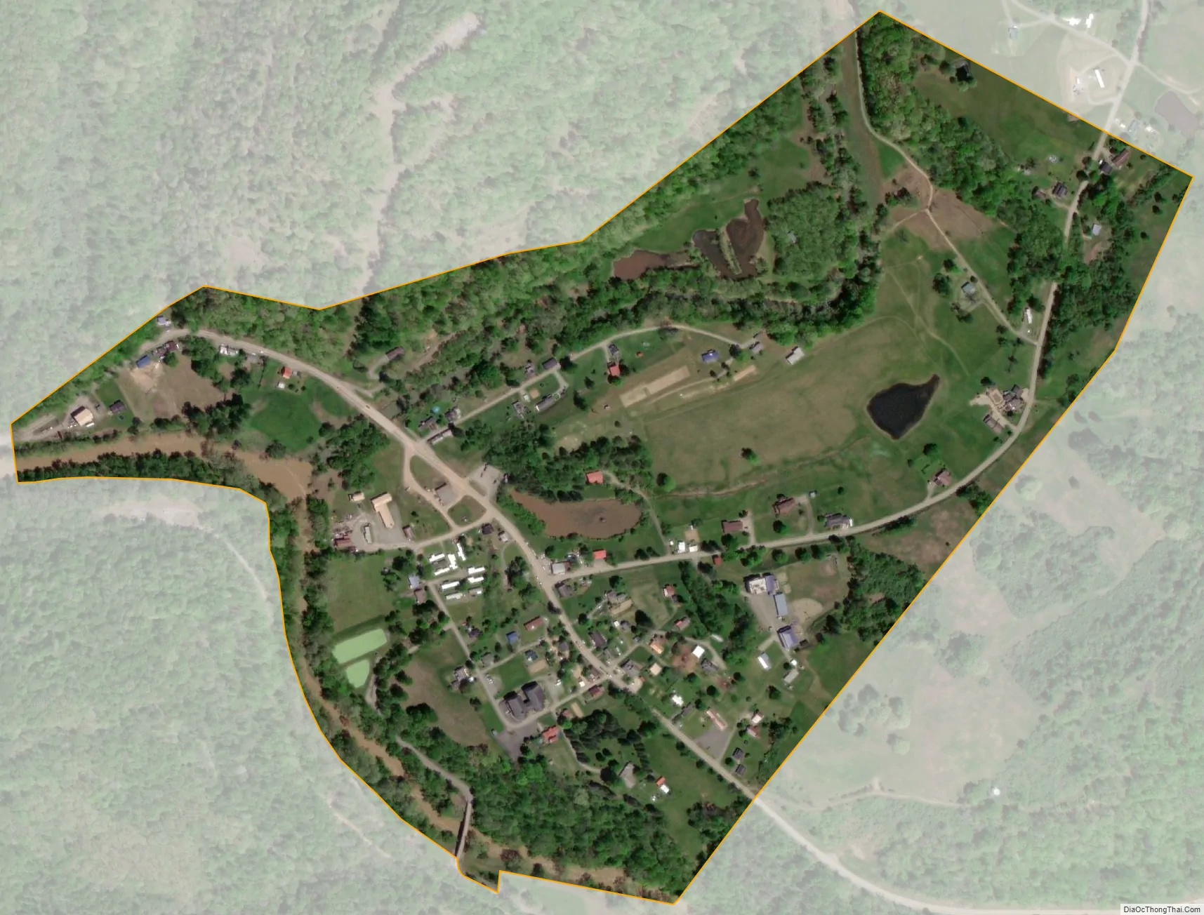
Sand Fork is a town in Gilmer County, West Virginia, United States. The population was 182 at the 2020 census. It is located along the Little Kanawha River, at the mouth of the Sand Fork.
Sand Fork was incorporated in 1903 as Layopolis, named for William R. Lay, an employee of the Eureka Pipe Line Company, which operated in oil fields in the area. Prior to 1983, the town was known as Layopolis, while its post office was known as Sand Fork. The town’s name was changed to Sand Fork by the results of an election in 1983.
| Name: | Sand Fork town |
|---|---|
| LSAD Code: | 43 |
| LSAD Description: | town (suffix) |
| State: | West Virginia |
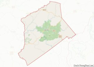
| County: | Gilmer County |
| Elevation: | 735 ft (224 m) |
| Total Area: | 0.35 sq mi (0.90 km²) |
| Land Area: | 0.33 sq mi (0.84 km²) |
| Water Area: | 0.02 sq mi (0.06 km²) |
| Total Population: | 182 |
| Population Density: | 455.38/sq mi (175.95/km²) |
| ZIP code: | 26430 |
| Area code: | 304 |
| FIPS code: | 5471620 |
| GNISfeature ID: | 1546345 |
Online Interactive Map
Click on ![]() to view map in "full screen" mode.
to view map in "full screen" mode.
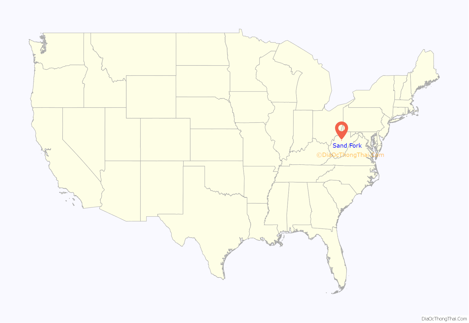
Sand Fork location map. Where is Sand Fork town?
Sand Fork Road Map
Sand Fork city Satellite Map
Geography
Sand Fork is located at 38°54′49″N 80°45′00″W / 38.913684°N 80.749976°W / 38.913684; -80.749976 (38.913684, -80.749976).
According to the United States Census Bureau, the town has a total area of 0.35 square miles (0.91 km), of which 0.33 square miles (0.85 km) is land and 0.02 square miles (0.05 km) is water.
See also
Map of West Virginia State and its subdivision:- Barbour
- Berkeley
- Boone
- Braxton
- Brooke
- Cabell
- Calhoun
- Clay
- Doddridge
- Fayette
- Gilmer
- Grant
- Greenbrier
- Hampshire
- Hancock
- Hardy
- Harrison
- Jackson
- Jefferson
- Kanawha
- Lewis
- Lincoln
- Logan
- Marion
- Marshall
- Mason
- McDowell
- Mercer
- Mineral
- Mingo
- Monongalia
- Monroe
- Morgan
- Nicholas
- Ohio
- Pendleton
- Pleasants
- Pocahontas
- Preston
- Putnam
- Raleigh
- Randolph
- Ritchie
- Roane
- Summers
- Taylor
- Tucker
- Tyler
- Upshur
- Wayne
- Webster
- Wetzel
- Wirt
- Wood
- Wyoming
- Alabama
- Alaska
- Arizona
- Arkansas
- California
- Colorado
- Connecticut
- Delaware
- District of Columbia
- Florida
- Georgia
- Hawaii
- Idaho
- Illinois
- Indiana
- Iowa
- Kansas
- Kentucky
- Louisiana
- Maine
- Maryland
- Massachusetts
- Michigan
- Minnesota
- Mississippi
- Missouri
- Montana
- Nebraska
- Nevada
- New Hampshire
- New Jersey
- New Mexico
- New York
- North Carolina
- North Dakota
- Ohio
- Oklahoma
- Oregon
- Pennsylvania
- Rhode Island
- South Carolina
- South Dakota
- Tennessee
- Texas
- Utah
- Vermont
- Virginia
- Washington
- West Virginia
- Wisconsin
- Wyoming