Hercules is a city in western Contra Costa County, California. Situated along the coast of San Pablo Bay, it is located in the eastern region of the San Francisco Bay Area, about 10 miles (16 km) north of Berkeley, California. As of 2010, its population was 24,060, according to the United States Census Bureau. The site of Hercules was first developed in 1881 as a manufacturing facility of the California Powder Works for the production of its patented dynamite formulation, Hercules powder. In 1882, the Hercules Powder Company was incorporated and assumed responsibility for the Hercules site. It was one of several explosive manufacturers that were active along the Pinole shoreline in the late 19th to the mid-20th century. The small company town that grew up near the facility subsequently became known as “Hercules”, and was incorporated at the end of 1900. Starting in the 1970s, Hercules was heavily redeveloped as suburban bedroom community that lies along the I-80 corridor in Western Contra Costa County. It has a very ethnically diverse population.
| Name: | Hercules city |
|---|---|
| LSAD Code: | 25 |
| LSAD Description: | city (suffix) |
| State: | California |
| County: | Contra Costa County |
| Incorporated: | December 15, 1900 |
| Elevation: | 79 ft (24 m) |
| Total Area: | 19.99 sq mi (51.77 km²) |
| Land Area: | 6.41 sq mi (16.61 km²) |
| Water Area: | 13.57 sq mi (35.16 km²) 65.87% |
| Total Population: | 24,060 |
| Population Density: | 4,097.30/sq mi (1,582.06/km²) |
| ZIP code: | 94547 |
| Area code: | 510, 341 |
| FIPS code: | 0633308 |
| Website: | www.ci.hercules.ca.us |
Online Interactive Map
Click on ![]() to view map in "full screen" mode.
to view map in "full screen" mode.
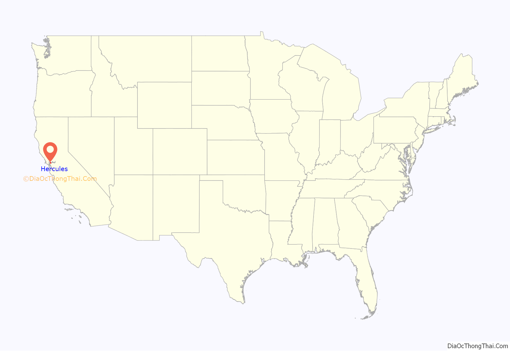
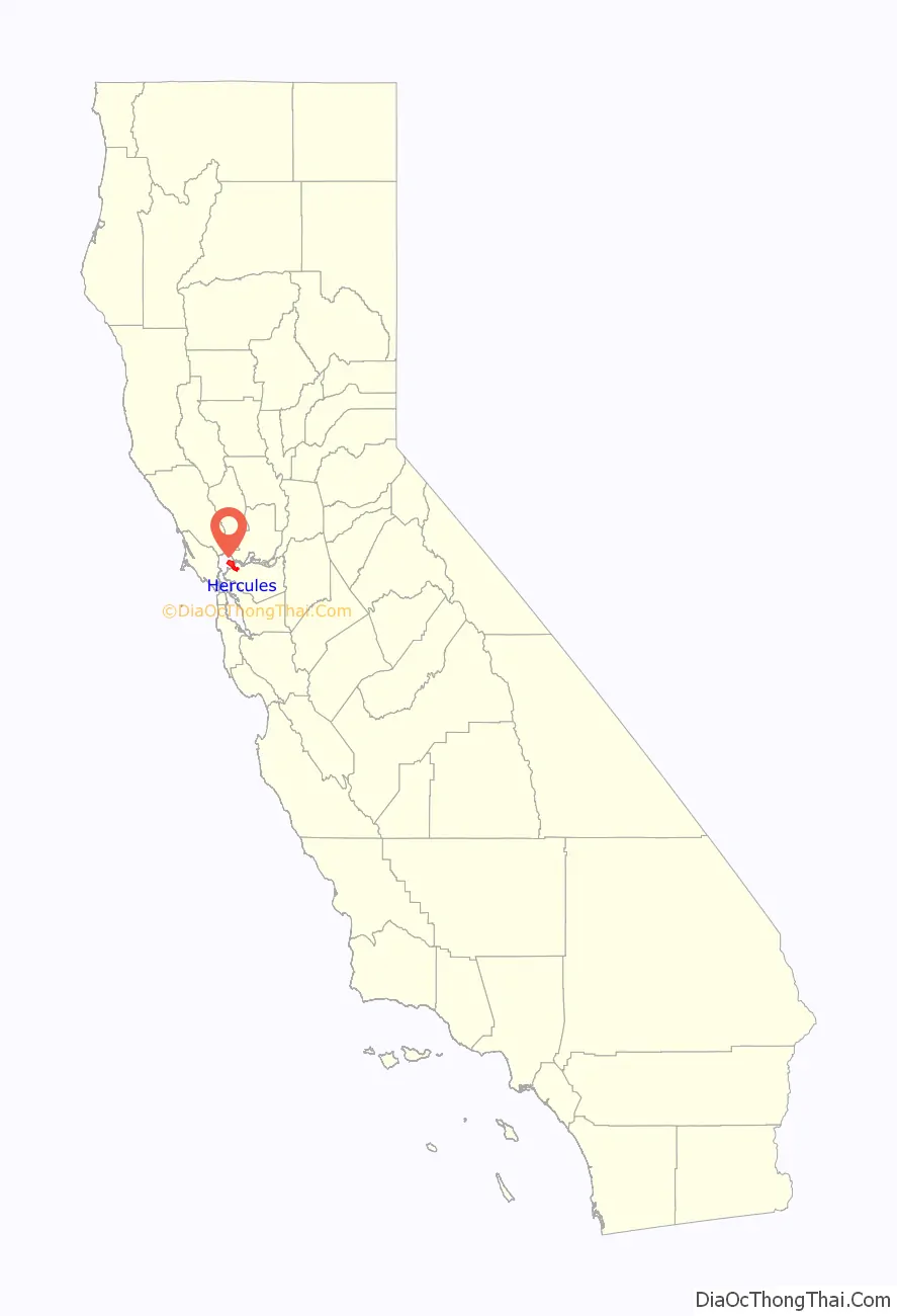
Hercules location map. Where is Hercules city?
History
Prehistory through the 20th century
Contra Costa County’s first inhabitants arrived in the area six to ten thousand years ago, including the Bay Miwok people and the Huichin Ohlone People; however there were no known significant settlements in the Hercules area.
The land that would become Hercules was part of a tract of land known as “Pinole y Canada del Hambre” which was granted in 1823 to Ygnacio Martinez (for whom the city of Martinez, California was named) for his service as the commandant of the Presidio of San Francisco. This grant was reconfirmed in 1842 as Rancho El Pinole. In 1848, this area became part of the United States with the rest of California. Contra Costa County was created in 1850 as one of California’s original 27 counties. The Central Pacific Railroad (later part of Southern Pacific) ran the first rail lines across Hercules’ waterfront in late 1878, as the main route for the Transcontinental Railroad was realigned via train ferry through the purpose-built town of Port Costa then to Richmond and Berkeley to connect at the Oakland Pier. The Atchison, Topeka and Santa Fe Railroad came through the area around 1899.
The city’s history was primarily shaped by the Hercules Powder Company, named after its main product “Hercules powder”, a specially patented (1874) formulation of dynamite, in turn named after the Roman hero. It began as the California Powder Works with locations in Golden Gate Park and Santa Cruz, California, but the expansion of San Francisco forced the company to find a more remote location for the dangerous process of manufacturing explosives. Hercules’s isolated location at the time, plus its proximity to rail and water transportation along San Pablo Bay, made it an ideal choice. In 1879, the company, backed by DuPont and the Laflin & Rand Powder Company created the Hercules Powder Company which purchased land for a new plant that opened in 1881. On December 15, 1900, town management incorporated the City of Hercules as it felt that the County Board of Supervisors had become less supportive of the plant. A post office was established in 1914. On USGS maps the place designation Herpoco (for Hercules Powder Company) along the original Atchison, Topeka and Santa Fe Railway right-of-way (now BNSF), still remains.
Explosives manufacturing was indeed a hazardous industry in that era: in the first 38 years of operations in Hercules, 59 lives would be lost including 24 in a large explosion in February 1908. Later, further deadly explosions would plague the plant in 1944, 1948 and 1953. The Sherman Antitrust Act would force Dupont to spin the Hercules Powder Company off as an independent company in 1912.
The explosives manufactured at Hercules played a significant and decisive role in the United States Army’s efforts to contain the fires started by the 1906 San Francisco earthquake, as recounted by General Funston.
Between the 1890s and 1970s, Hercules was a company town of several hundred people. 36 buildings from this era still exist and were nominated to the National Register of Historic Places in 1980. Per this application, “Hercules was the area’s most desirable community to live in” with well-kept homes, a (male only) clubhouse, lighted tennis courts, and hospital. However, all residents were company employees. Although Chinese workers were a large component of the company workforce before the 1910s, they were excluded from residency in the town beyond dormitories provided for them.
By 1917, the Hercules plant had become the largest producer of TNT in the country. During both World Wars Hercules Powder Company, along with Giant Powder Works in neighboring Pinole, supplied the U.S. Navy with explosives through the Port Chicago Magazine (location of the infamous Port Chicago disaster in 1944) which became the now closed Concord Naval Weapons Station. By the 1940s, Hercules organized its own law enforcement department and longtime Hercules Powder Company employee William Darke was named sheriff, becoming its first officer.
After World War II the company began to diversify its production line and build an anhydrous ammonia plant, a base for fertilizer. Explosive manufacturing was discontinued in Hercules in 1964 (neighboring Giant Powder stopped its operations in 1960). In 1974, the cessation of explosives production allowed hundreds of acres of protective “buffer” land (separated by large stands of eucalyptus trees, many of which still stand) to be reused for other purposes. Starting in 1974, real estate development companies began to develop the land and Hercules began to transform into the bedroom community it is known as today. Eventually, the ammonia plant began to be outcompeted by foreign manufacturers, and this combined with labor issues, resulted in its permanent closure in 1976. Although Hercules Powder Company is now gone one legacy remains: a study has been made of upper layer soil contamination from prior emissions of the California Powder Works operations.
In 1966 the Pacific Refinery company started operation on the shores of Hercules and served as large employer until its closure in 1995. Its demise marked the end of 114 years of heavy industry in Hercules. The land the refinery was located on was redeveloped as the Victoria by the Bay subdivision in early 2000s. Biorad, a Fortune 500 biotech company established its headquarters in Hercules in the 1980s and continues to be the town’s largest employer.
Starting in the 1970s Hercules created and has continuously updated its master plan to further its development. During the 1970s, Hercules was one of the first cities in the United States to develop a comprehensive Noise Element of the General Plan. This work included the production of noise contour maps for all major highways and arterial roads, as well as a citywide noise mitigation plan. Heavy development as a suburb continued through the 1980s through the present day.
The town’s population grew rapidly in the last decades of the 20th century. Per United States Census Bureau data, what was sleepy town of 252 in 1970 grew nearly 24-fold into a town of 5,963 by 1980 which tripled again into a town of 16,829 by 1990. By 2000, the town began to level out to its current population of approximately 25,000.
Recent history and development
In 2000, the City of Hercules chartered an urban-design-based land use planning effort. This plan attempted to balance the preservation of the city’s undeveloped land against continued suburban sprawl and to redevelop the city’s formerly industrial waterfront. The resulting plan directs that Hercules be turned into a transit-oriented, pedestrian-friendly, mixed-use town. Several new developments were started in that era based on the plan, including the Central Waterfront around the historic core of Hercules and Victoria by the Bay. However the development of Hercules has not been without its challenges.
In a national story in 2006, Hercules strongly opposed Walmart’s attempt to build a new supercenter store on 17-acre (69,000 m) property overlooking San Pablo Bay as many residents deemed it incompatible with the waterfront redevelopment project, and it was unneeded due to the close proximity of two other Walmarts in Richmond and Vallejo. On May 23, 2006, the Hercules city council voted unanimously to use its power of eminent domain to prevent Wal-Mart from building the supercenter. In 2009, the city purchased the land back from Walmart.
In 2012, a state audit found that the City of Hercules had spent nearly $50 million on “questionable transactions” primarily centered on the city’s redevelopment projects (the investigation focused on city manager Nelson Oliva who steered millions of city funds to himself and to a firm run by his relatives). Combined with the Great recession, this nearly bankrupted the city in the late 2000s. Later, new developments came in the market and the city repaired its financial condition.
Hercules Road Map

Hercules city Satellite Map

Geography
Location and surroundings
Hercules is located at 38°01′02″N 122°17′19″W / 38.01722°N 122.28861°W / 38.01722; -122.28861, at the southeast shore of the San Pablo Bay. According to the United States Census Bureau, the city has a total area of 18.2 square miles (47 km), of which, 6.2 square miles (16 km) is land and 12.0 square miles (31 km) (65.87%) is water.
Hercules is on the southeastern shores of San Pablo Bay, roughly 4 miles southwest of the Carquinez Bridge. By road, Hercules is roughly 12 miles north of Berkeley, California, 18 miles north of Oakland and 22 miles northeast of San Francisco. The shoreline at this location runs northeast to southwest. Refugio Creek runs through the middle of Hercules in a northwest direction and empties at the shoreline.
The town is bisected by Interstate 80 which runs parallel and roughly one mile inland from the coast. I-80 is the main highway between San Francisco and Sacramento and intersects California State Route 4 in the city limits. Major arterial roads include San Pablo Road which lies to the north of I-80 (this road is also Historic US 40, which was the predecessor to I-80) and Refugio Valley Road which runs in a northwest–southeast direction along Refugio Creek.
Cityscape
The city has a predominantly suburban character dominated by two story detached and attached homes and one story commercial buildings divided into various subdivisions along well landscaped roads. The waterfront, which has a planned rail/ferry station, is zoned for higher density transit oriented development with community retail, and a number of 3 to 5 story mixed-use developments have been constructed there since 2015. The portion inland of Highway 80, which extends 4 miles inland mainly gently rolling hills along Refugio Valley Road, is primarily suburbs built between the 1970s and 1980s. It includes neighborhoods known to the locals as “the Birds”, “the Trees and Flowers”, “the Gemstones”, “the Astronauts”, and “the Islands”, per the street naming conventions of each subdivision. The portion near the shoreline, somewhat flatter but still rolling terrain, was developed starting in the 1980s and has some of the town’s newer developments including the Waterfront centered around the historic old town, Olympian Hills (which uses Greek mythical figures for its street naming convention), Hercules by the Bay, Village Park and Victoria by the Bay/New Pacific.
Climate
Hercules has a mild Mediterranean climate (Köppen climate classification Csb or “Warm-summer Mediterranean”), consistent with much of the northern San Francisco Bay Area. As Hercules is more inland, it is generally warmer than communities closer to the Golden Gate. Average rainfall is 23.35” concentrated from November to March. The average July high is 71 degrees and the average January low is 43 degrees.
Parks and recreation
Hercules has over 98 acres of parkland in six parks created as part of its master planning effort, the most central being Refugio Valley Park, and has over 950 additional acres of open space. Hercules is also close to several regional nature preserves including Point Pinole Regional Shoreline, Crockett Hills Regional Park, Carquinez Strait, Wildcat Canyon and Sobrante Ridge Botanic Regional Preserve. Franklin Canyon Golf Course is an 18-hole golf course at the east side of the city. The San Francisco Bay Trail runs right along Hercules’ waterfront. The urban centers of Oakland and San Francisco are 18 and 22 miles away respectively. Wine Country (Napa and Sonoma) is roughly a half hour drive to the north.
See also
Map of California State and its subdivision:- Alameda
- Alpine
- Amador
- Butte
- Calaveras
- Colusa
- Contra Costa
- Del Norte
- El Dorado
- Fresno
- Glenn
- Humboldt
- Imperial
- Inyo
- Kern
- Kings
- Lake
- Lassen
- Los Angeles
- Madera
- Marin
- Mariposa
- Mendocino
- Merced
- Modoc
- Mono
- Monterey
- Napa
- Nevada
- Orange
- Placer
- Plumas
- Riverside
- Sacramento
- San Benito
- San Bernardino
- San Diego
- San Francisco
- San Joaquin
- San Luis Obispo
- San Mateo
- Santa Barbara
- Santa Clara
- Santa Cruz
- Shasta
- Sierra
- Siskiyou
- Solano
- Sonoma
- Stanislaus
- Sutter
- Tehama
- Trinity
- Tulare
- Tuolumne
- Ventura
- Yolo
- Yuba
- Alabama
- Alaska
- Arizona
- Arkansas
- California
- Colorado
- Connecticut
- Delaware
- District of Columbia
- Florida
- Georgia
- Hawaii
- Idaho
- Illinois
- Indiana
- Iowa
- Kansas
- Kentucky
- Louisiana
- Maine
- Maryland
- Massachusetts
- Michigan
- Minnesota
- Mississippi
- Missouri
- Montana
- Nebraska
- Nevada
- New Hampshire
- New Jersey
- New Mexico
- New York
- North Carolina
- North Dakota
- Ohio
- Oklahoma
- Oregon
- Pennsylvania
- Rhode Island
- South Carolina
- South Dakota
- Tennessee
- Texas
- Utah
- Vermont
- Virginia
- Washington
- West Virginia
- Wisconsin
- Wyoming


