Napa is the largest city and county seat of Napa County and a principal city of Wine Country in Northern California. Located in the North Bay region of the Bay Area, the city had a population of 77,480 as of the end of 2021. Napa is a major tourist destination in California, known for its wineries, restaurants, and arts culture.
| Name: | Napa city |
|---|---|
| LSAD Code: | 25 |
| LSAD Description: | city (suffix) |
| State: | California |
| County: | Napa County |
| Incorporated: | March 23, 1872 |
| Elevation: | 20 ft (6 m) |
| Land Area: | 17.97 sq mi (46.54 km²) |
| Water Area: | 0.31 sq mi (0.79 km²) 1.69% |
| Population Density: | 4,348.04/sq mi (1,678.80/km²) |
| ZIP code: | 94558, 94559, 94581 |
| Area code: | 707 |
| FIPS code: | 0650258 |
| Website: | www.cityofnapa.org |
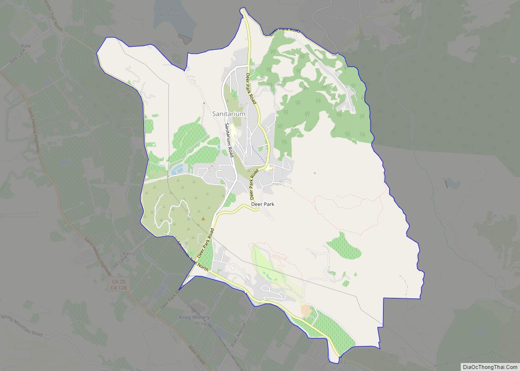
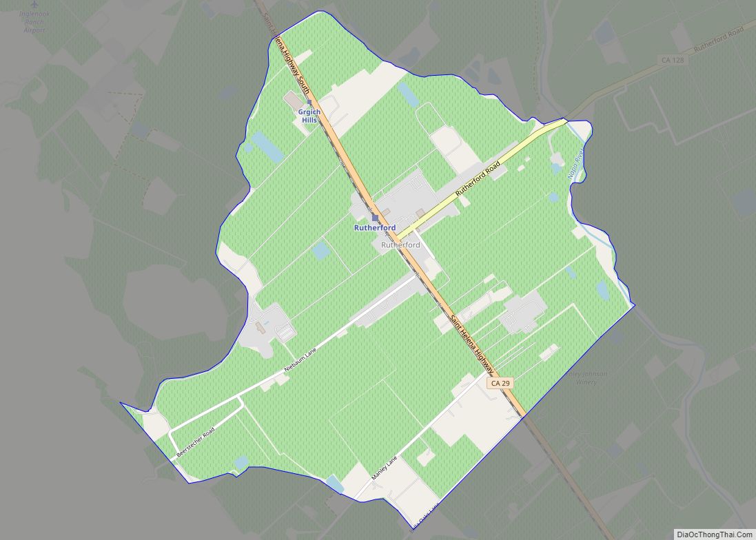
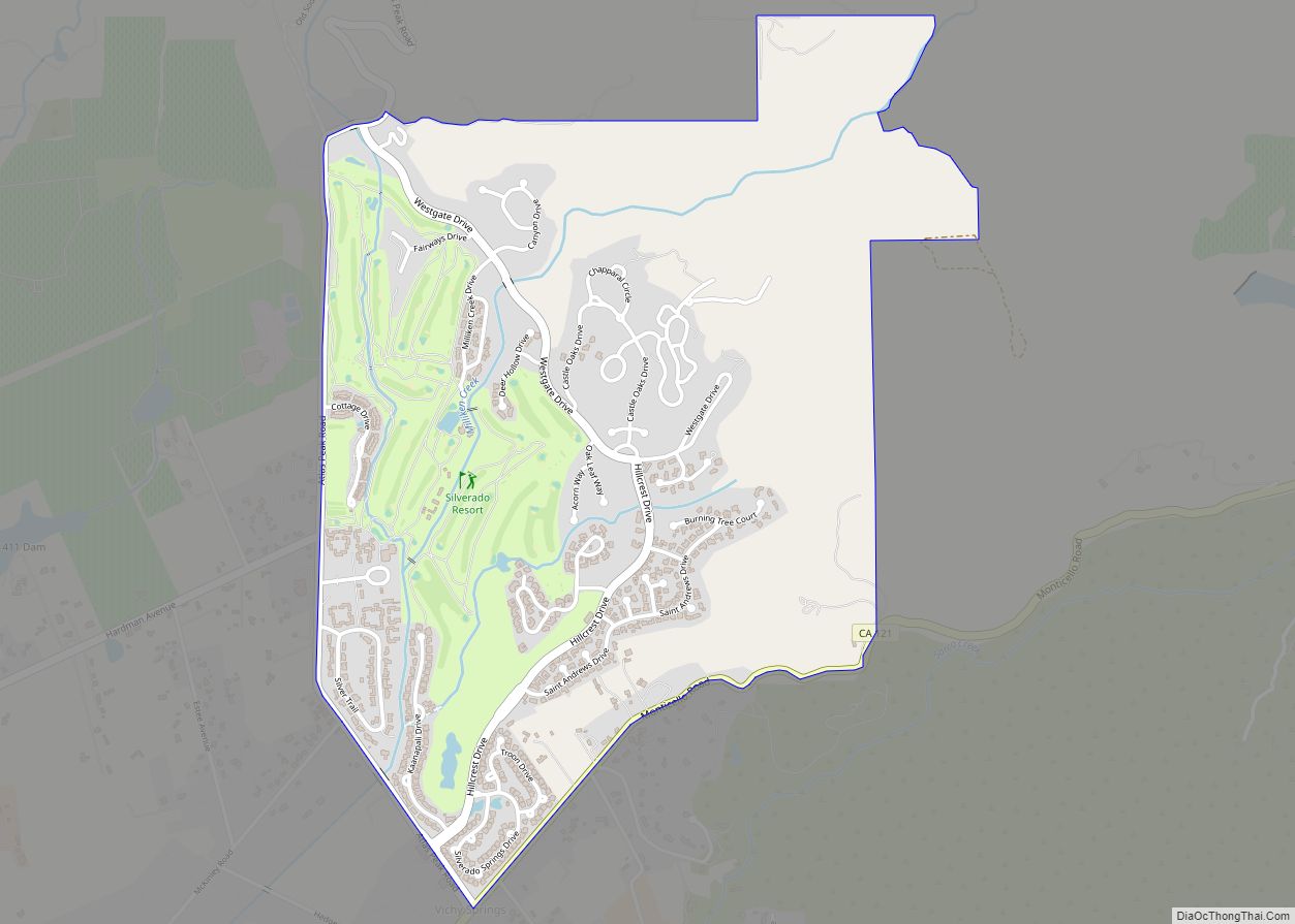
Online Interactive Map
Click on ![]() to view map in "full screen" mode.
to view map in "full screen" mode.
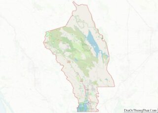
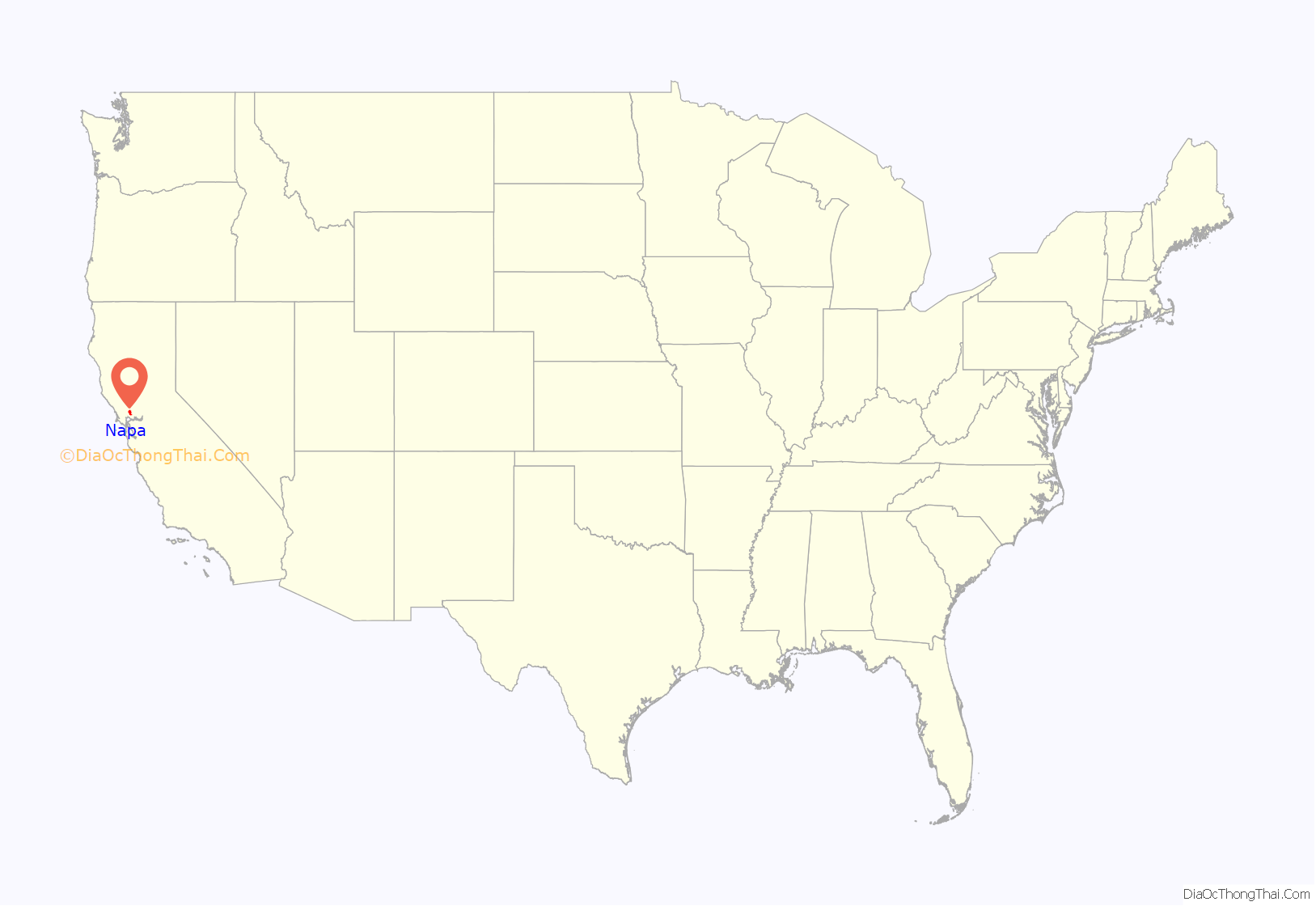
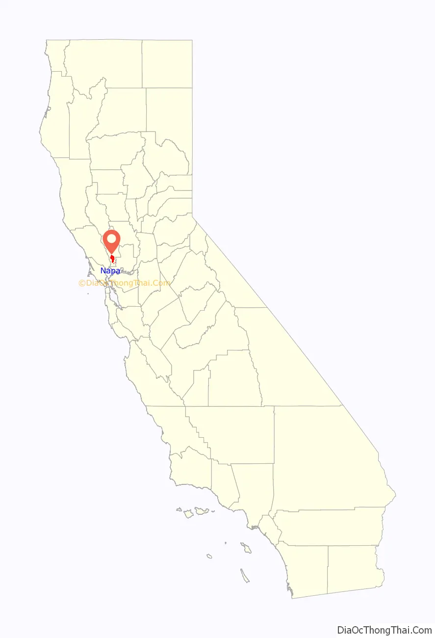
Napa location map. Where is Napa city?
History
The origin of the word “Napa” is disputed.
The word napa is of Native American derivation and has been variously translated as “grizzly bear”, “house”, “motherland” or “fish”. Of the many explanations of the names’s origin, the most plausible seems to be that it is derived from the Patwin word napo, meaning house.
Further adding confusion, Napa was originally spelled with two P’s: Nappa. There are maps and deeds dating back to the mid-1850s bearing this spelling. Shortly thereafter, the spelling changed to “Napa” as it’s known today; the reasons for this are unclear.
Mexican era
At the time of the first recorded exploration into Napa Valley in 1823, the majority of the inhabitants consisted of Native Americans. Padre José Altimira, founder of Mission San Francisco Solano in Sonoma, led the expedition. Spanish priests converted some natives; the rest were attacked and dispersed by Mexican soldiers.
The first American immigrants began arriving in the area in the 1830s.
Post-Conquest era
Prior to the American Conquest of California, Napa Valley was in California’s District of Sonoma. At the time, its boundaries also included Lake County to the north. By this time, the indigenous people were either working as field laborers or living in small bands in the hills surrounding the valley. Tensions between the white settlers and Native Americans broke into war in 1850, resulting in soldiers hunting down and killing all the natives they could find, driving the remainder north toward Clear Lake. By 1870, the Native American population consisted of only a few laborers and servants working for the white settlers.
The City of Napa was founded by Nathan Coombs in 1847. General Mariano Guadalupe Vallejo had paid to survey for a township downriver at Soscol Landing, where riverboats could turn around prior to Napa’s founding. Instead, the Napa town site was surveyed on property Coombs had received from Nicolas Higuera, original holder of the Rancho Entre Napa, a Mexican land grant. The first record of a ship navigating the river was the Susana in 1842, though by 1850 the Dolphin became the first passenger steamship to navigate the Napa River in order to open another path of commerce.
In the mid-1850s, Napa’s Main Street rivaled that of many larger cities, with as many as 100 saddle horses tied to the fences on an average afternoon. John Patchett opened the first commercial winery in the county in 1859. The Napa Valley Register, founded by J.I. Horrell and L. Hoxie Strong, made its debut on August 10, 1863, with weekly publications until becoming a daily newspaper in 1872.
The California Gold Rush of the late 1850s expanded Napa City. A tent city was erected along Main Street. Many cattle ranches were maintained, and the lumber industry had greatly expanded. Sawmills in the valley were in operation cutting up timber that was hauled by team to Napa and then shipped out on the river to Benicia and San Francisco.
In 1858, the great silver rush began in Napa Valley, and miners eagerly flocked to the eastern hills. In the 1860s, mining carried on, in a large scale, with quicksilver mines operating in many areas of Napa County. The most noted mine was the Silverado Mine, near the summit of Mount Saint Helena. At this time, the first wave of rural, foreign laborers from coastal villages of China’s Canton province arrived in California and at Napa County mines. A settlement for Chinese laborers in Napa was established in the early 1860s. At its peak from the 1880s to the early 1900s, the Chinese population grew to a population of over 300 people.
In 1869, F. A. Sawyer established Sawyer Tanning Company in Napa and was joined in the business by his father B. F. Sawyer a year later. It went on to become the largest tannery west of the Mississippi River. The world-famous Nappa leather or Napa leather was invented by Emanuel Manasse in Napa in 1875 while working at the Sawyer Tanning Company.
Napa was incorporated on March 23, 1872, and reincorporated in 1874 as the City of Napa.
The Napa State Hospital received its first patients in 1876. The Napa Valley Opera House became popular after its debut on February 13, 1880, with a production of Gilbert and Sullivan’s HMS Pinafore, but it later languished and was closed for many years. It was reestablished in the 1980s.
Modern era
Napa had become the primary business and economic center for the Napa Valley by the dawn of the 20th century. The San Francisco, Napa and Calistoga Railway was established in 1905 for passenger and freight service. The railroad carried passengers from ferry boats in Vallejo to stops in Napa and other locations in the valley.
As agricultural and wine interests developed north of the city limits, much of the light industry, banking, commercial and retail activity in the county evolved within the city of Napa and in earlier times along the Napa River through the historic downtown. Napa Glove Factory was established in 1903 and was the largest plant of its kind west of Chicago.
Edwin Pridham and Peter L. Jensen invented the moving-coil loudspeaker in 1915 in their Napa workshop while working on an improvement for the telephone receiver. Pridham and Jensen went on to found the Magnavox Company in 1917. In the late 19th century and early 20th century, Napa was known for having a sizable red-light district, with brothels primarily concentrated on and around Clinton Street.
Following studies made by the U.S. Department of the Interior in 1930-40s, the U.S. Congress authorized channel improvements on Napa River and construction of a dam on Conn Creek as part of the Flood Control Act of 1944, though funding was never approved. The City of Napa funded and built the dam in order to create the water conservation reservoir Lake Hennessey in 1948; however, flooding continued to be a problem.
The 1986 Napa River flood revived public interest in finding a remedy. After a plan to widen the river channel proposed by the Army Corps of Engineers was presented in 1995 and roundly rejected, a group of special interests called Friends of the River formed, which built consensus on a “living river” plan. Voters in the County of Napa narrowly approved an increase of sales tax in a March 1998 election to fund the Napa River Flood Project. In 2005, the Napa River again flooded the entire downtown area and destroyed 1,000 homes across the county.
An ambitious redevelopment plan encompassing several blocks of downtown Napa’s retail property was undertaken by the city in the early 1970s, though it did little to improve the city’s economy. Downtown Napa finally began to recover and emerge from a long economic slumber in the 2000s, triggered by a significant growth in Main Street restaurants and hotels. The redevelopment of First and Main streets and the Napa Mill complex helped to stimulate investments along the Napa riverfront.
In 2014, the Napa area was struck by a magnitude 6.1 earthquake centered 3.7 miles (6.0 km) northwest of nearby American Canyon. In October 2017, the Atlas Fire and Partrick Fires burned several parts of Napa County (see also October 2017 Northern California wildfires).
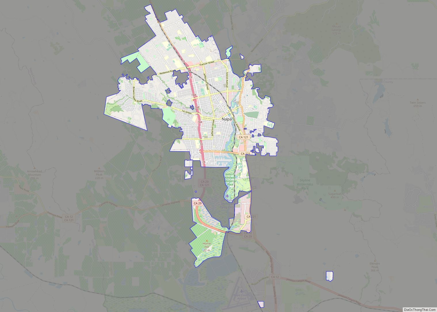
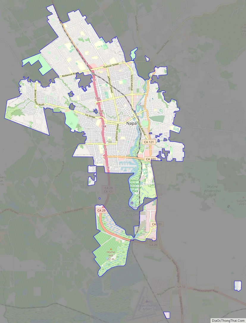
Napa Road Map
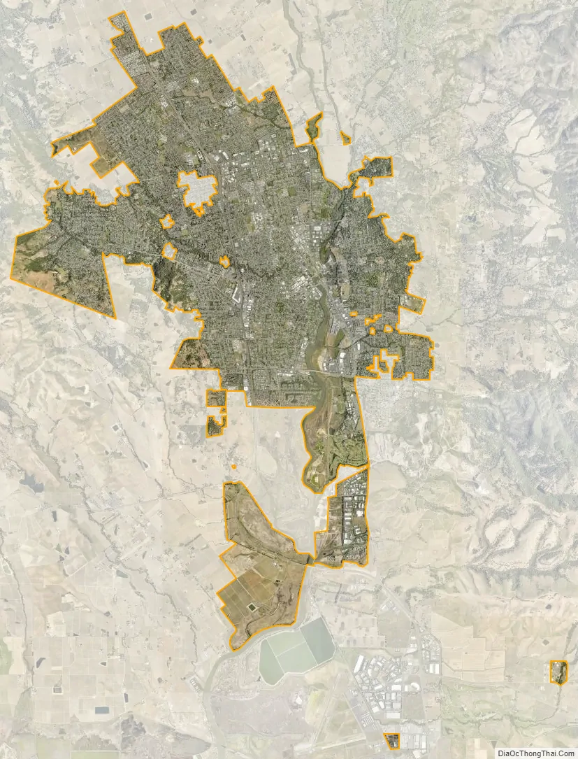
Napa city Satellite Map
Geography
According to the United States Census Bureau, the city has a total area of 18.1 square miles (47 km), of which 17.8 square miles (46 km) is land and 0.3 square miles (0.78 km) (1.69%) is water. Napa was the first location in California to be part of the North Coast American Viticultural Area. Renowned for its wine due to the Mediterranean climate, surprisingly only about 9% of Napa’s acres are planted to grapes.
The Napa River traverses the city on its journey to the San Pablo Bay. The city has conducted a variety of waterfront development along the banks of the river, including certain fill operations governed by the United States Army Corps of Engineers regulations. The Napa River Flood Project has been in progress since the late 1990s, with the goal of mitigating the risk of flooding along a 6-mile (9.7 km) stretch of the river and 1-mile (1.6 km) of Napa Creek.
Climate
Napa has a Mediterranean climate similar to many other parts of Northern California. Winters are chilly and wet, and summers are warm and dry. During the summer months rain is rare. Occasionally there may be a day or two of light rain in June and September. Heat waves do occur with the temperatures rising above 100 °F. Wildfires are typically a problem during the summer months. The fall is pleasant and many people come to visit Napa at this time. The winters are quite wet and cool and flooding can be a major problem. Nighttime temperatures often drop below freezing. The rainy season is from October to April and occasionally into May. Snow is rare. The hottest temperature recorded in Napa was 114 °F (46 °C) on September 6, 2022, while the coldest temperature recorded was 14 °F (−10 °C) on December 22, 1990. The most rainfall in one year was 51.24 inches (1,301 mm) in 1983 and the least amount of rainfall was 6.74 inches (171 mm) in 2013. The most rainfall in one month was 16.13 inches (410 mm) in December 1955.
See also
Map of California State and its subdivision:- Alameda
- Alpine
- Amador
- Butte
- Calaveras
- Colusa
- Contra Costa
- Del Norte
- El Dorado
- Fresno
- Glenn
- Humboldt
- Imperial
- Inyo
- Kern
- Kings
- Lake
- Lassen
- Los Angeles
- Madera
- Marin
- Mariposa
- Mendocino
- Merced
- Modoc
- Mono
- Monterey
- Napa
- Nevada
- Orange
- Placer
- Plumas
- Riverside
- Sacramento
- San Benito
- San Bernardino
- San Diego
- San Francisco
- San Joaquin
- San Luis Obispo
- San Mateo
- Santa Barbara
- Santa Clara
- Santa Cruz
- Shasta
- Sierra
- Siskiyou
- Solano
- Sonoma
- Stanislaus
- Sutter
- Tehama
- Trinity
- Tulare
- Tuolumne
- Ventura
- Yolo
- Yuba
- Alabama
- Alaska
- Arizona
- Arkansas
- California
- Colorado
- Connecticut
- Delaware
- District of Columbia
- Florida
- Georgia
- Hawaii
- Idaho
- Illinois
- Indiana
- Iowa
- Kansas
- Kentucky
- Louisiana
- Maine
- Maryland
- Massachusetts
- Michigan
- Minnesota
- Mississippi
- Missouri
- Montana
- Nebraska
- Nevada
- New Hampshire
- New Jersey
- New Mexico
- New York
- North Carolina
- North Dakota
- Ohio
- Oklahoma
- Oregon
- Pennsylvania
- Rhode Island
- South Carolina
- South Dakota
- Tennessee
- Texas
- Utah
- Vermont
- Virginia
- Washington
- West Virginia
- Wisconsin
- Wyoming