Altha is a small town in Calhoun County, Florida, United States. The population was 536 at the 2010 census. This is an increase from 506 as of 2000. Altha was founded in 1902.
| Name: | Altha town |
|---|---|
| LSAD Code: | 43 |
| LSAD Description: | town (suffix) |
| State: | Florida |
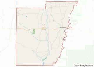
| County: | Calhoun County |
| Elevation: | 203 ft (62 m) |
| Total Area: | 1.37 sq mi (3.54 km²) |
| Land Area: | 1.34 sq mi (3.46 km²) |
| Water Area: | 0.03 sq mi (0.08 km²) |
| Total Population: | 496 |
| Population Density: | 370.98/sq mi (143.20/km²) |
| ZIP code: | 32421 |
| Area code: | 850 |
| FIPS code: | 1201000 |
| GNISfeature ID: | 0277823 |
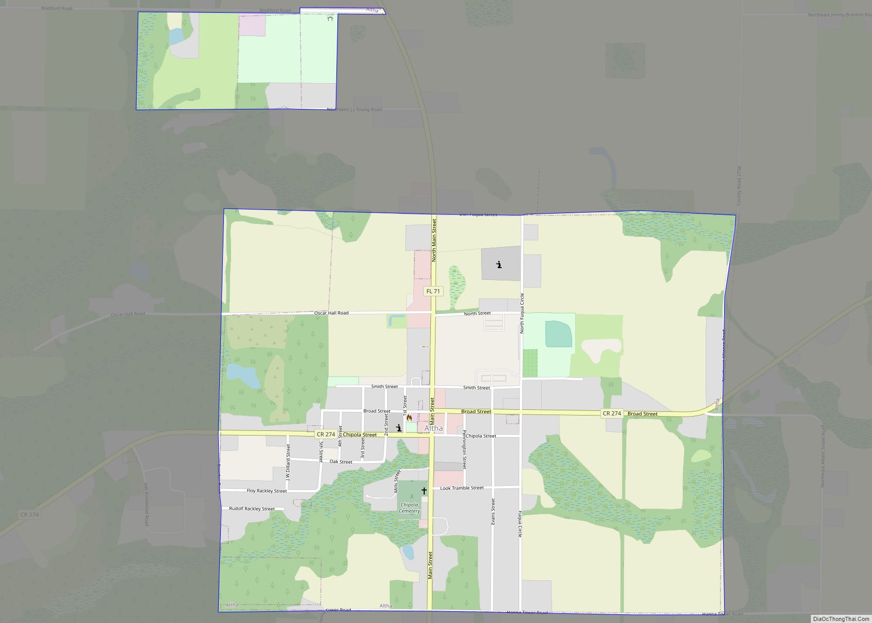
Online Interactive Map
Click on ![]() to view map in "full screen" mode.
to view map in "full screen" mode.
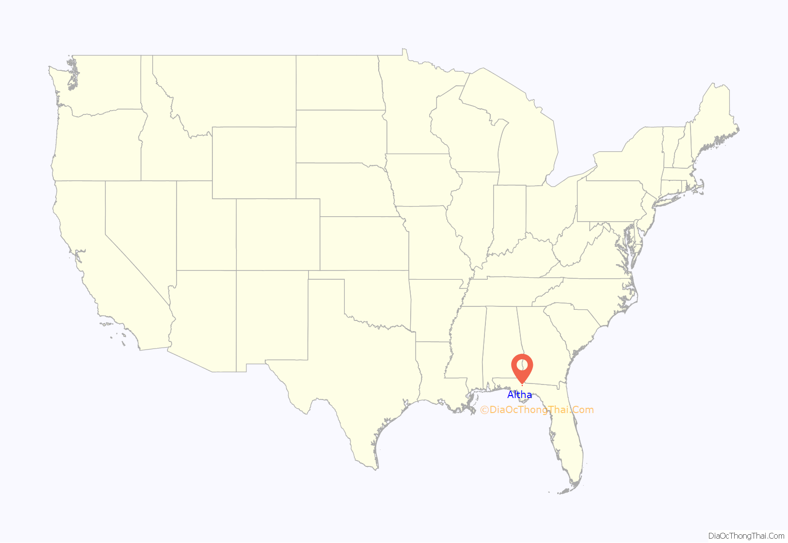
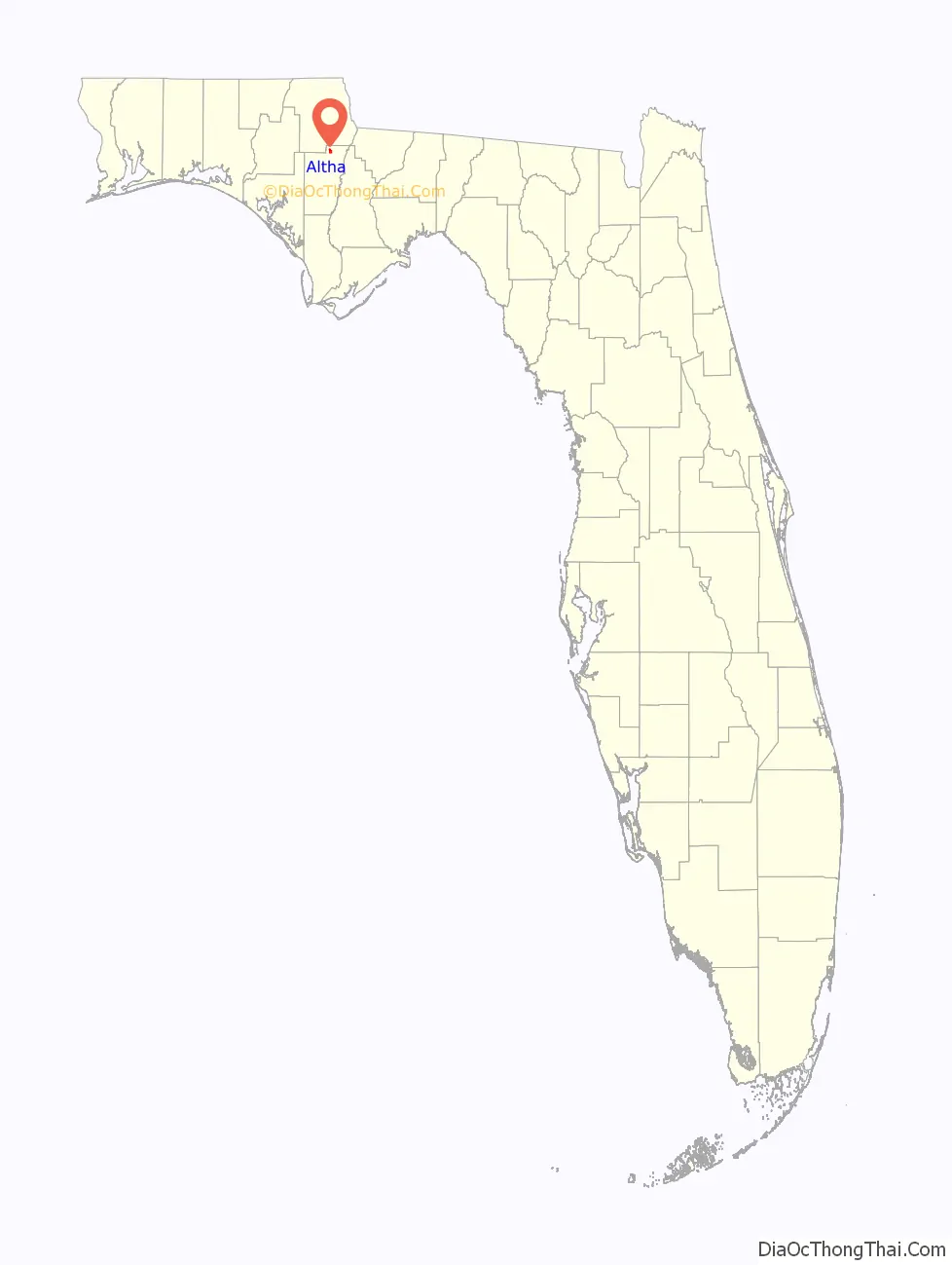
Altha location map. Where is Altha town?
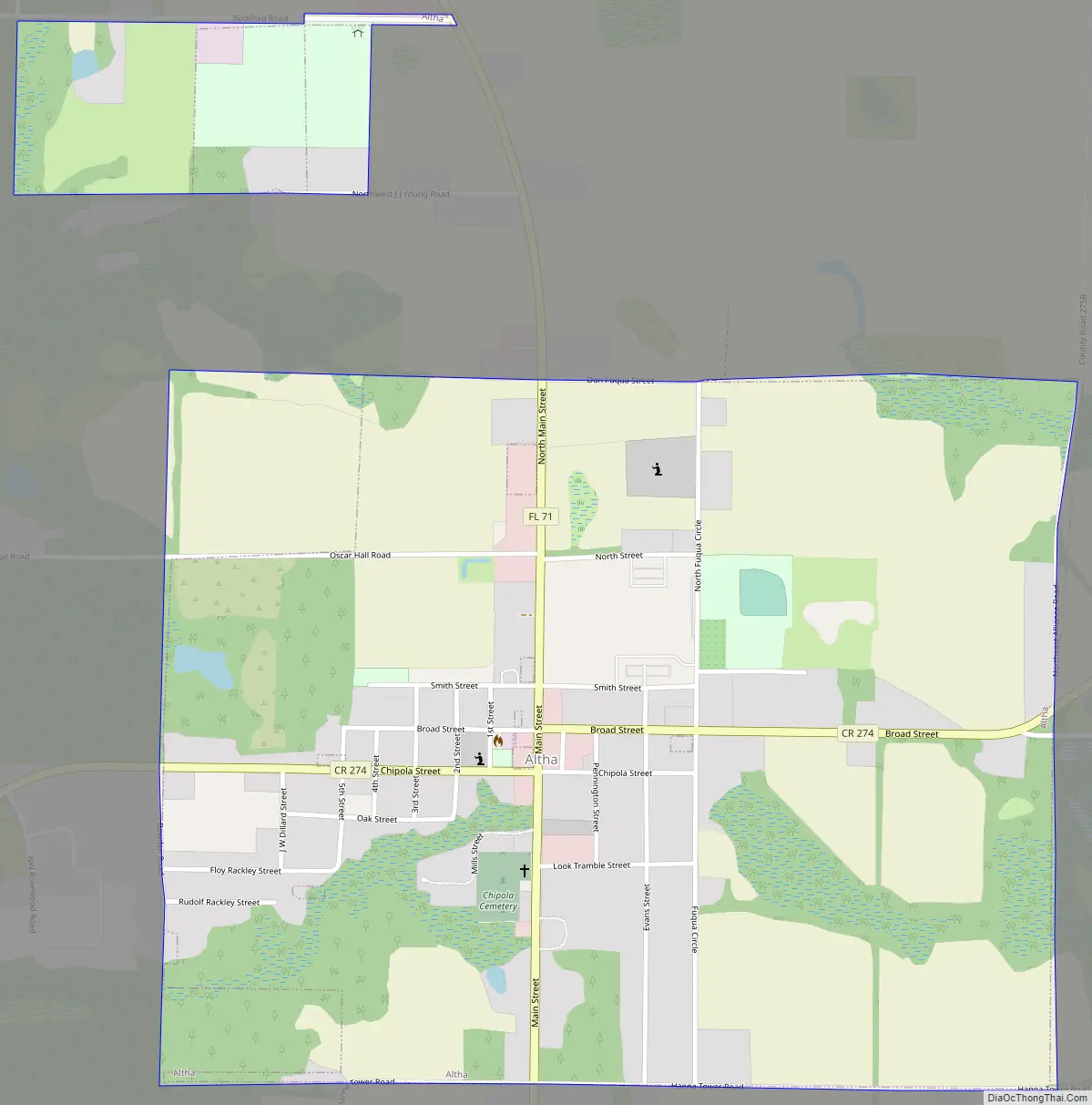
Altha Road Map
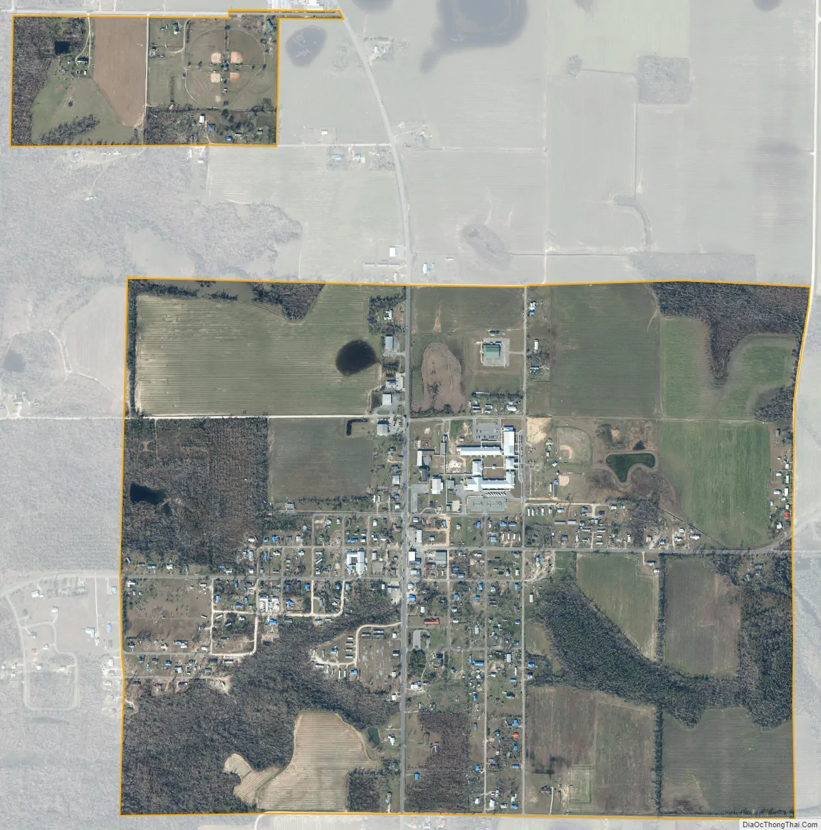
Altha city Satellite Map
Geography
Altha is located at 30°34′18″N 85°7′39″W / 30.57167°N 85.12750°W / 30.57167; -85.12750 (30.571710, –85.127533).
According to the United States Census Bureau, the town has a total area of 1.5 square miles (3.9 km), of which 1.4 square miles (3.6 km) is land and 0.04 square miles (0.10 km) (2.72%) is water.
Altha is located in northwestern Florida, approximately 45 minutes from the Georgia state line and one hour from the Alabama state line. Altha is in a rural county, with the primary industry being agriculture. Tomatoes, watermelons, green vegetables, cucumbers, peanuts, corn, wheat, and cotton are all major crops in this farming area. The timber industry also thrives in the area, with many farmers electing to plant pine trees.
See also
Map of Florida State and its subdivision:- Alachua
- Baker
- Bay
- Bradford
- Brevard
- Broward
- Calhoun
- Charlotte
- Citrus
- Clay
- Collier
- Columbia
- Desoto
- Dixie
- Duval
- Escambia
- Flagler
- Franklin
- Gadsden
- Gilchrist
- Glades
- Gulf
- Hamilton
- Hardee
- Hendry
- Hernando
- Highlands
- Hillsborough
- Holmes
- Indian River
- Jackson
- Jefferson
- Lafayette
- Lake
- Lee
- Leon
- Levy
- Liberty
- Madison
- Manatee
- Marion
- Martin
- Miami-Dade
- Monroe
- Nassau
- Okaloosa
- Okeechobee
- Orange
- Osceola
- Palm Beach
- Pasco
- Pinellas
- Polk
- Putnam
- Saint Johns
- Saint Lucie
- Santa Rosa
- Sarasota
- Seminole
- Sumter
- Suwannee
- Taylor
- Union
- Volusia
- Wakulla
- Walton
- Washington
- Alabama
- Alaska
- Arizona
- Arkansas
- California
- Colorado
- Connecticut
- Delaware
- District of Columbia
- Florida
- Georgia
- Hawaii
- Idaho
- Illinois
- Indiana
- Iowa
- Kansas
- Kentucky
- Louisiana
- Maine
- Maryland
- Massachusetts
- Michigan
- Minnesota
- Mississippi
- Missouri
- Montana
- Nebraska
- Nevada
- New Hampshire
- New Jersey
- New Mexico
- New York
- North Carolina
- North Dakota
- Ohio
- Oklahoma
- Oregon
- Pennsylvania
- Rhode Island
- South Carolina
- South Dakota
- Tennessee
- Texas
- Utah
- Vermont
- Virginia
- Washington
- West Virginia
- Wisconsin
- Wyoming