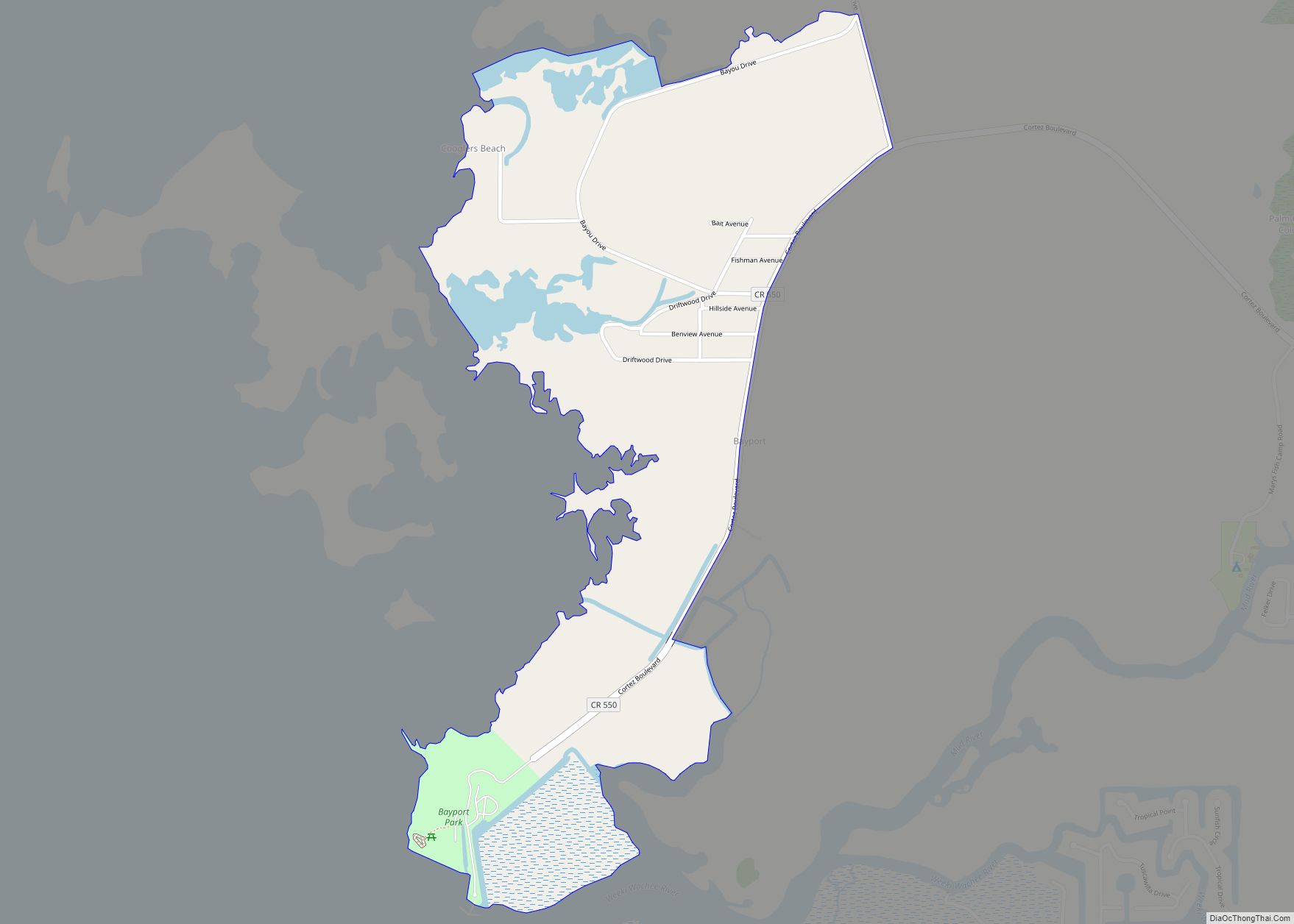
Aripeka is an unincorporated community and census-designated place (CDP) in the U.S. state of Florida, along coast of the Gulf of Mexico at the border dividing Pasco and Hernando counties. The ZIP Code for the community is 34679, but it was originally assigned as 33502. As of the 2020 census, the population was 320.
| Name: | Aripeka CDP |
|---|---|
| LSAD Code: | 57 |
| LSAD Description: | CDP (suffix) |
| State: | Florida |
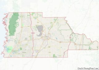
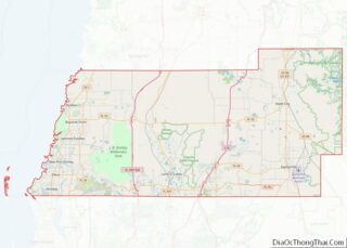
| County: | Hernando County, Pasco County |
| Elevation: | 5 ft (2 m) |
| Total Area: | 1.02 sq mi (2.64 km²) |
| Land Area: | 0.82 sq mi (2.13 km²) |
| Water Area: | 0.20 sq mi (0.52 km²) |
| Total Population: | 320 |
| Population Density: | 389.29/sq mi (150.40/km²) |
| ZIP code: | 34679 (originally 33502) |
| Area code: | 727 |
| FIPS code: | 1201875 |
| GNISfeature ID: | 0293914 |
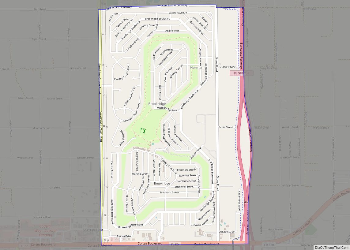
Online Interactive Map
Click on ![]() to view map in "full screen" mode.
to view map in "full screen" mode.
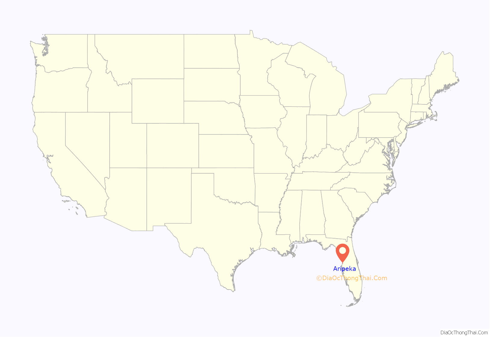
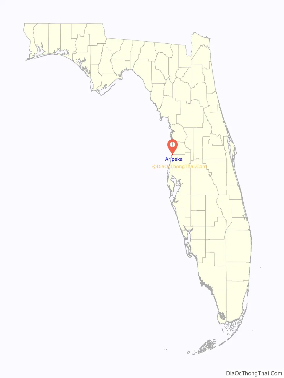
Aripeka location map. Where is Aripeka CDP?
History
The community of Gulf Key was settled in this area in 1873 and a post office by that name was established in 1883. The post office was known briefly as, “Argo”. It was replaced by the Aripeka post office in 1895. Aripeka is named for an early nineteenth-century Seminole chief, who is thought to have lived nearby. The town was divided when Pasco County separated from Hernando County in 1887. The post office, which was originally in Hernando County, moved across the Pasco County line in 1921. According to the historical marker in the town, Babe Ruth visited Aripeka to fish. On June 3, 1993, the Pasco County Historic Preservation Committee dedicated the town a State Historic Site.
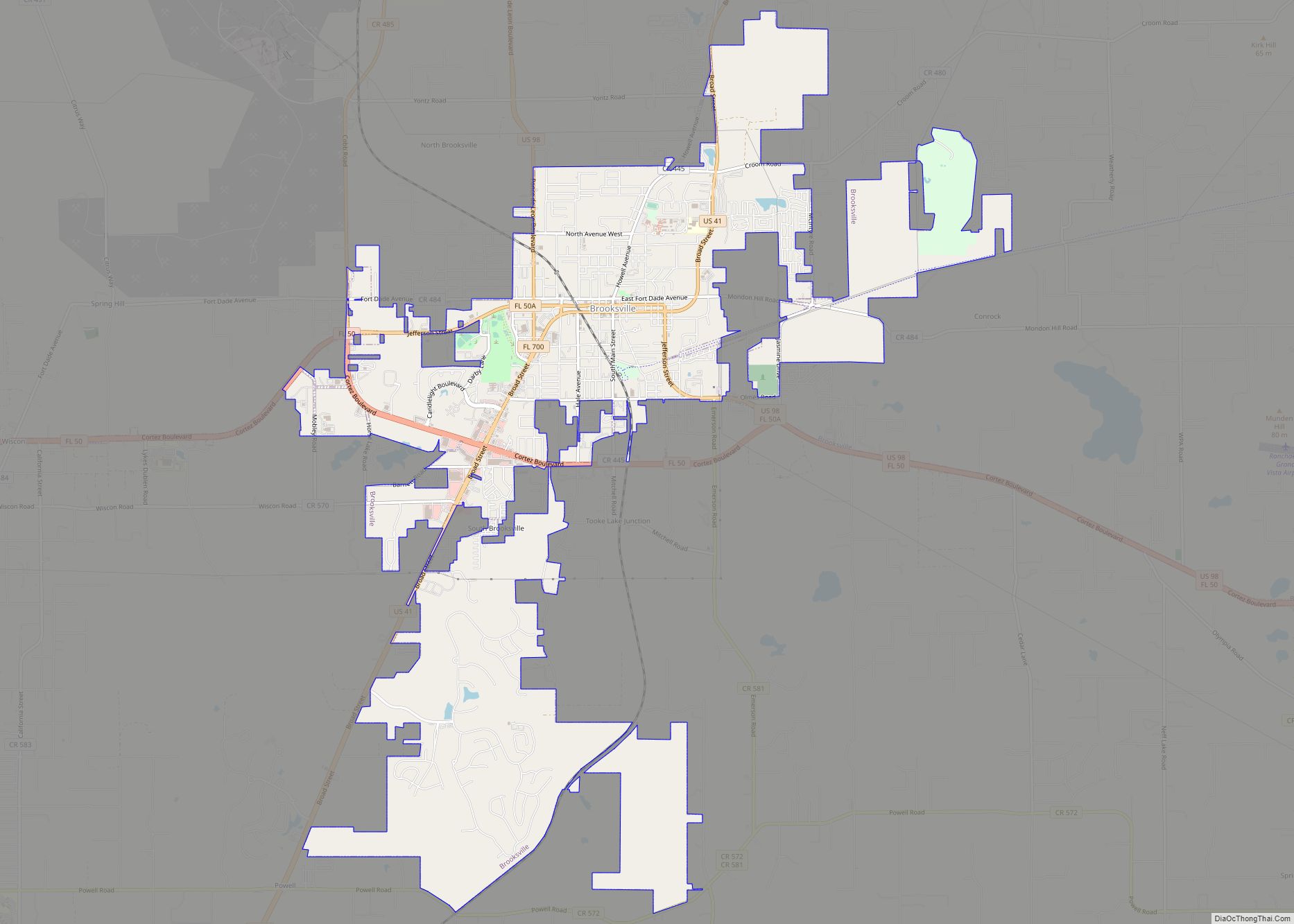
Aripeka Road Map
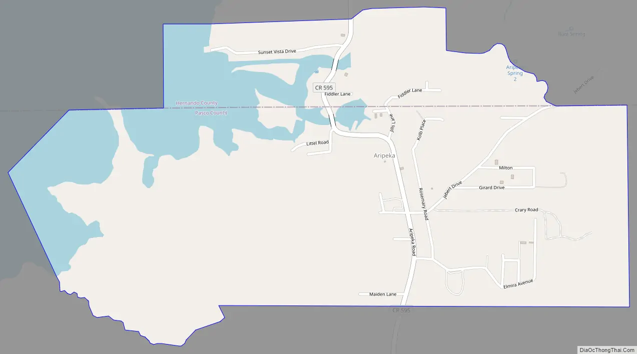
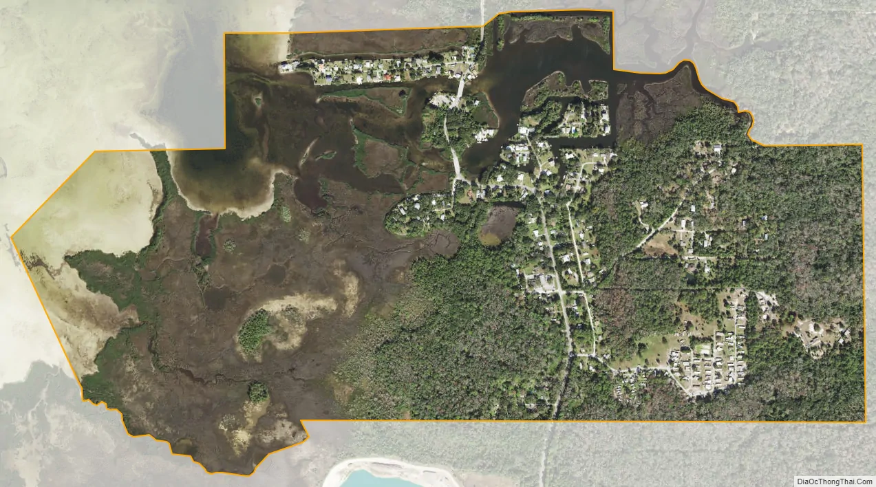
Aripeka city Satellite Map
Geography
Aripeka is located at 28°25′56″N 82°39′51″W / 28.43222°N 82.66417°W / 28.43222; -82.66417 on both sides of Hammock Creek, a small tidal inlet to the Gulf of Mexico. Similar in geophysical structure to Hernando Beach, Bayport, and Pine Island, Florida, Aripeka is surrounded by marshland, mostly within Hernando County. The Pasco-Hernando county line is located at the South Hammock Creek Bridge.
See also
Map of Florida State and its subdivision:- Alachua
- Baker
- Bay
- Bradford
- Brevard
- Broward
- Calhoun
- Charlotte
- Citrus
- Clay
- Collier
- Columbia
- Desoto
- Dixie
- Duval
- Escambia
- Flagler
- Franklin
- Gadsden
- Gilchrist
- Glades
- Gulf
- Hamilton
- Hardee
- Hendry
- Hernando
- Highlands
- Hillsborough
- Holmes
- Indian River
- Jackson
- Jefferson
- Lafayette
- Lake
- Lee
- Leon
- Levy
- Liberty
- Madison
- Manatee
- Marion
- Martin
- Miami-Dade
- Monroe
- Nassau
- Okaloosa
- Okeechobee
- Orange
- Osceola
- Palm Beach
- Pasco
- Pinellas
- Polk
- Putnam
- Saint Johns
- Saint Lucie
- Santa Rosa
- Sarasota
- Seminole
- Sumter
- Suwannee
- Taylor
- Union
- Volusia
- Wakulla
- Walton
- Washington
- Alabama
- Alaska
- Arizona
- Arkansas
- California
- Colorado
- Connecticut
- Delaware
- District of Columbia
- Florida
- Georgia
- Hawaii
- Idaho
- Illinois
- Indiana
- Iowa
- Kansas
- Kentucky
- Louisiana
- Maine
- Maryland
- Massachusetts
- Michigan
- Minnesota
- Mississippi
- Missouri
- Montana
- Nebraska
- Nevada
- New Hampshire
- New Jersey
- New Mexico
- New York
- North Carolina
- North Dakota
- Ohio
- Oklahoma
- Oregon
- Pennsylvania
- Rhode Island
- South Carolina
- South Dakota
- Tennessee
- Texas
- Utah
- Vermont
- Virginia
- Washington
- West Virginia
- Wisconsin
- Wyoming