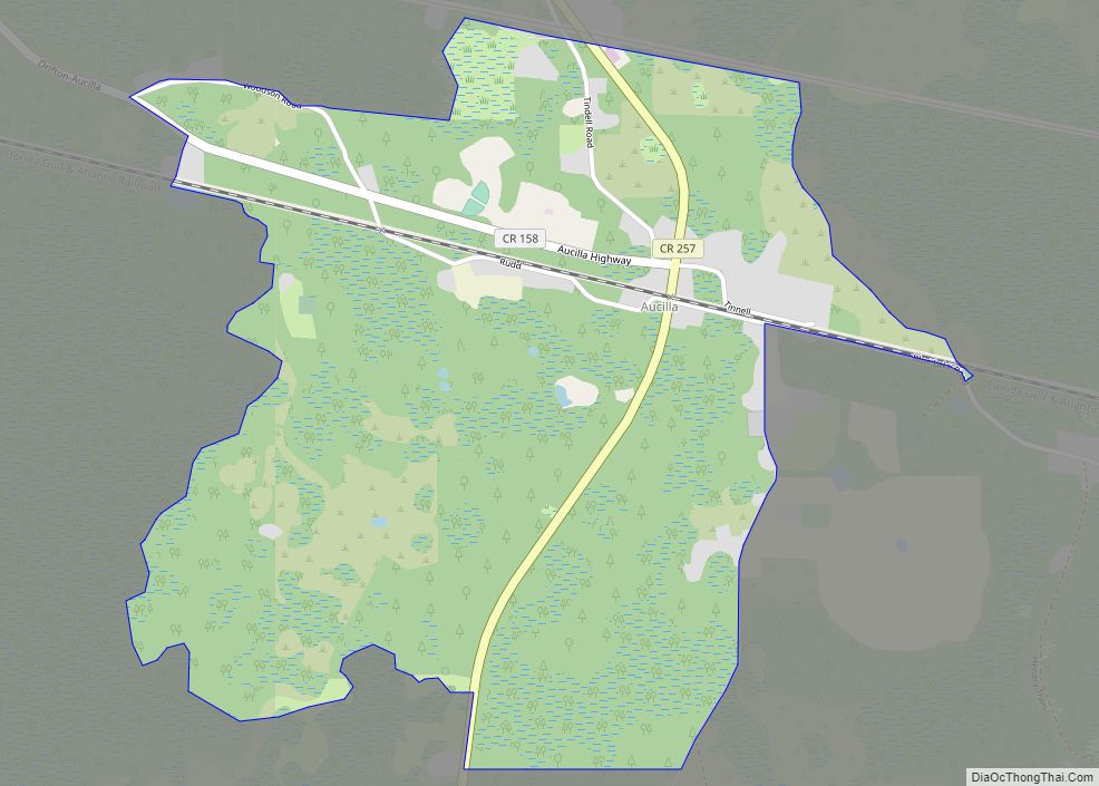
Aucilla is an unincorporated community and census-designated place (CDP) in Jefferson County, Florida, United States, located near the intersection of county roads 158 and 257. As of the 2020 census, the population was 103.
| Name: | Aucilla CDP |
|---|---|
| LSAD Code: | 57 |
| LSAD Description: | CDP (suffix) |
| State: | Florida |
| County: | Jefferson County |
| Elevation: | 75 ft (23 m) |
| Total Area: | 2.00 sq mi (5.19 km²) |
| Land Area: | 2.00 sq mi (5.19 km²) |
| Water Area: | 0.00 sq mi (0.00 km²) |
| Total Population: | 103 |
| Population Density: | 51.40/sq mi (19.84/km²) |
| ZIP code: | 32344 |
| Area code: | 850 |
| FIPS code: | 1202575 |
| GNISfeature ID: | 0277993 |
Online Interactive Map
Click on ![]() to view map in "full screen" mode.
to view map in "full screen" mode.
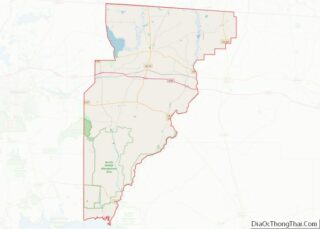
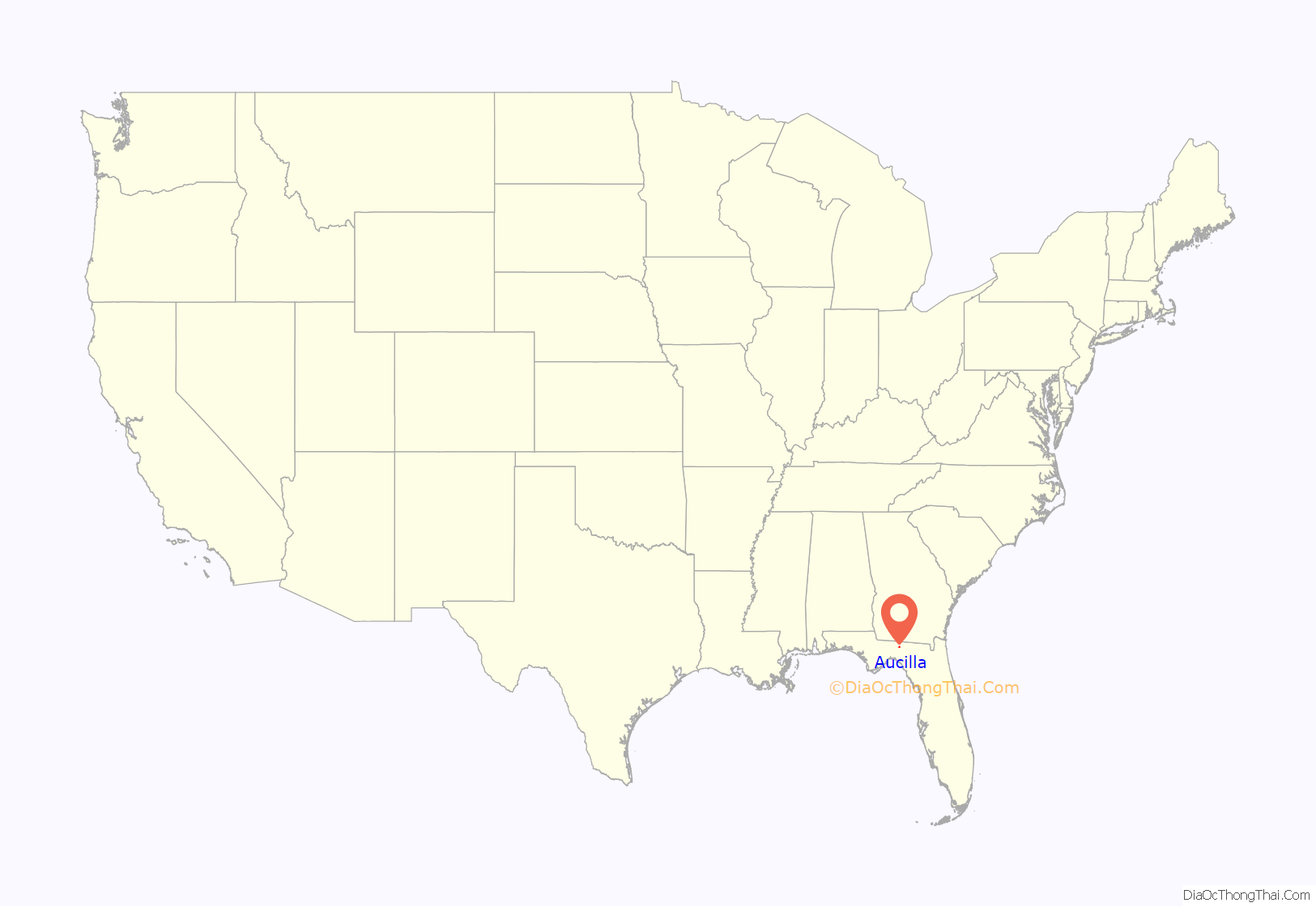
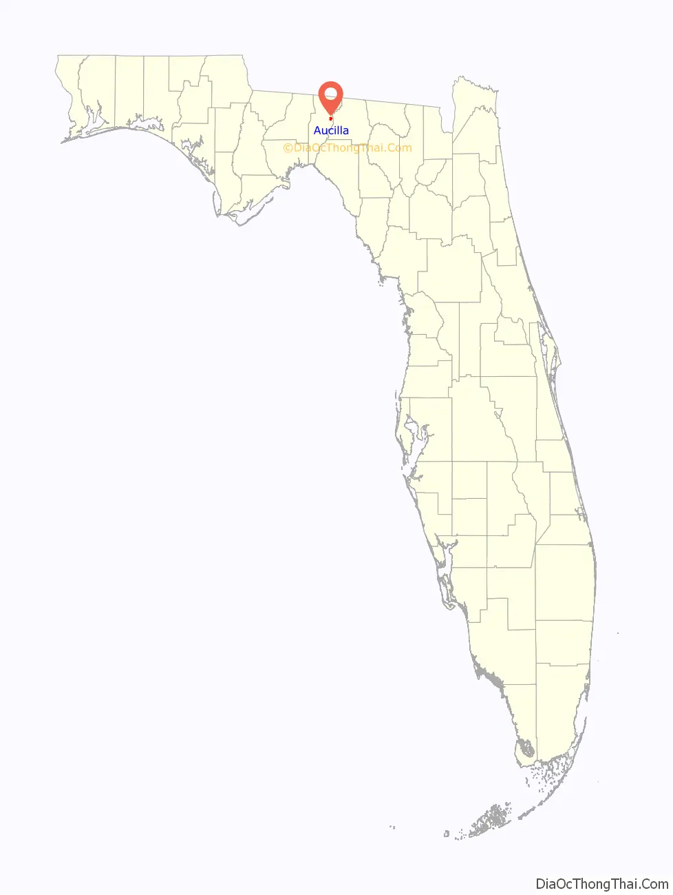
Aucilla location map. Where is Aucilla CDP?
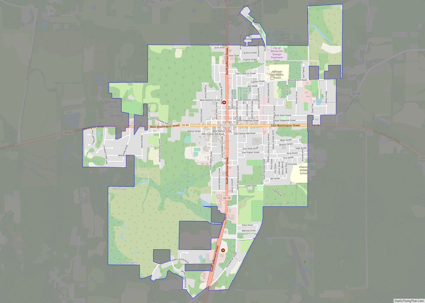
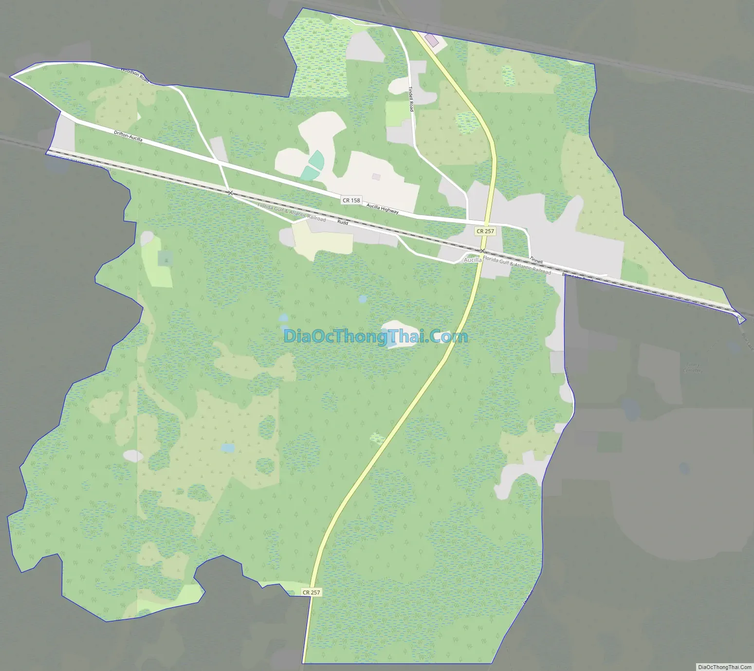
Aucilla Road Map
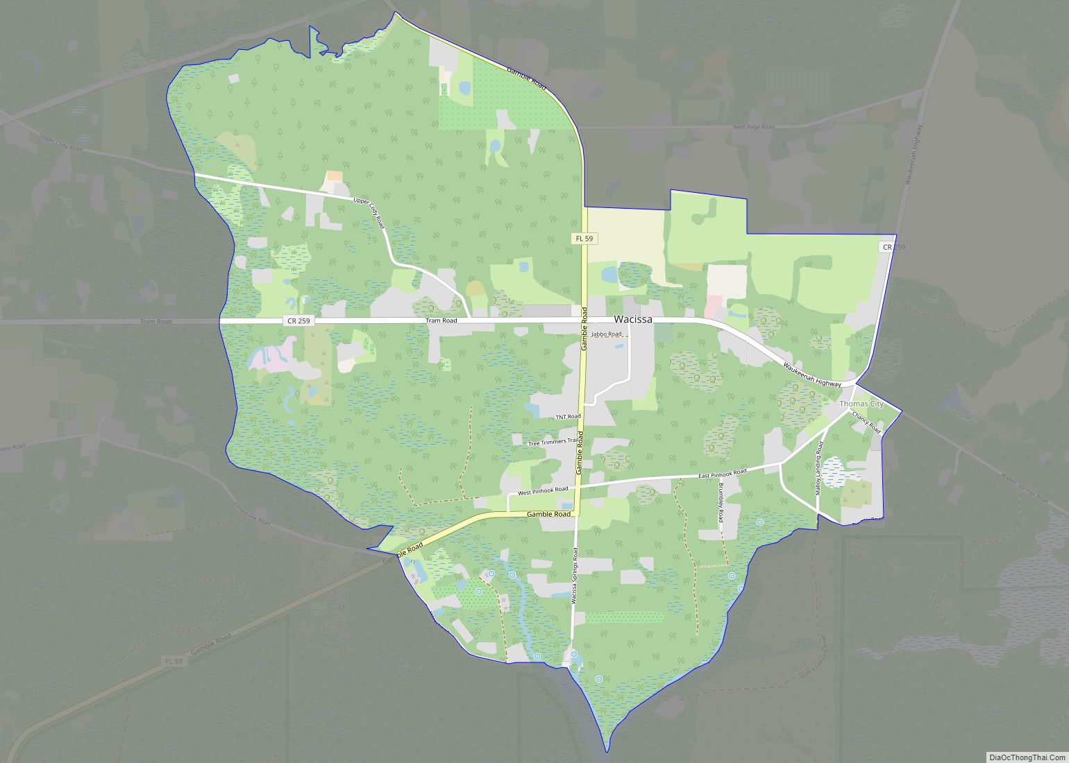
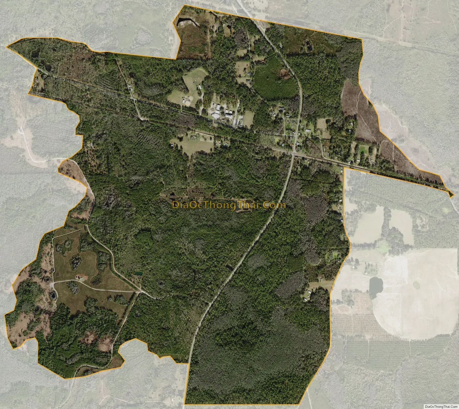
Aucilla city Satellite Map
Geography
Aucilla is located in eastern Jefferson County at 30°29’N 83°45′W (30.480,-83.754). It is 1.5 miles (2.4 km) south of U.S. Route 90 and 1.8 miles (2.9 km) north of Interstate 10 at that highway’s Exit 233. Aucilla is 9 miles (14 km) southeast of Monticello, the Jefferson county seat, via US-90, and 34 miles (55 km) east of Tallahassee, the state capital, via I-10.
According to the U.S. Census Bureau, the Aucilla CDP has an area of 2.0 square miles (5.2 km), all of it recorded as land.
See also
Map of Florida State and its subdivision:- Alachua
- Baker
- Bay
- Bradford
- Brevard
- Broward
- Calhoun
- Charlotte
- Citrus
- Clay
- Collier
- Columbia
- Desoto
- Dixie
- Duval
- Escambia
- Flagler
- Franklin
- Gadsden
- Gilchrist
- Glades
- Gulf
- Hamilton
- Hardee
- Hendry
- Hernando
- Highlands
- Hillsborough
- Holmes
- Indian River
- Jackson
- Jefferson
- Lafayette
- Lake
- Lee
- Leon
- Levy
- Liberty
- Madison
- Manatee
- Marion
- Martin
- Miami-Dade
- Monroe
- Nassau
- Okaloosa
- Okeechobee
- Orange
- Osceola
- Palm Beach
- Pasco
- Pinellas
- Polk
- Putnam
- Saint Johns
- Saint Lucie
- Santa Rosa
- Sarasota
- Seminole
- Sumter
- Suwannee
- Taylor
- Union
- Volusia
- Wakulla
- Walton
- Washington
- Alabama
- Alaska
- Arizona
- Arkansas
- California
- Colorado
- Connecticut
- Delaware
- District of Columbia
- Florida
- Georgia
- Hawaii
- Idaho
- Illinois
- Indiana
- Iowa
- Kansas
- Kentucky
- Louisiana
- Maine
- Maryland
- Massachusetts
- Michigan
- Minnesota
- Mississippi
- Missouri
- Montana
- Nebraska
- Nevada
- New Hampshire
- New Jersey
- New Mexico
- New York
- North Carolina
- North Dakota
- Ohio
- Oklahoma
- Oregon
- Pennsylvania
- Rhode Island
- South Carolina
- South Dakota
- Tennessee
- Texas
- Utah
- Vermont
- Virginia
- Washington
- West Virginia
- Wisconsin
- Wyoming