Belle Isle is a city in Orange County, Florida, United States. The population was 7,032 at the 2020 census. It is part of the Orlando–Kissimmee–Sanford Metropolitan Statistical Area.
| Name: | Belle Isle city |
|---|---|
| LSAD Code: | 25 |
| LSAD Description: | city (suffix) |
| State: | Florida |
| County: | Orange County |
| Elevation: | 85 ft (26 m) |
| Total Area: | 5.18 sq mi (13.42 km²) |
| Land Area: | 2.40 sq mi (6.22 km²) |
| Water Area: | 2.78 sq mi (7.21 km²) |
| Total Population: | 7,032 |
| Population Density: | 2,930.00/sq mi (1,131.41/km²) |
| ZIP code: | 32809, 32812 |
| FIPS code: | 1205300 |
| GNISfeature ID: | 2403838 |
| Website: | www.cityofbelleislefl.org |
Online Interactive Map
Click on ![]() to view map in "full screen" mode.
to view map in "full screen" mode.
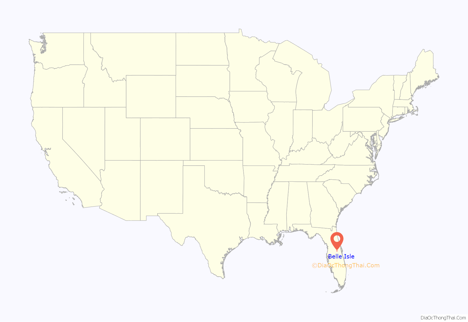
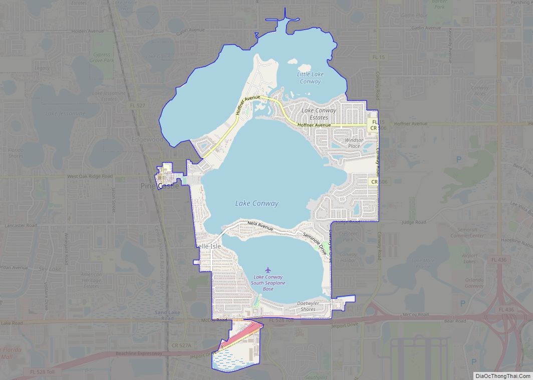
Belle Isle location map. Where is Belle Isle city?
History
The Belle Isle area was first inhabited by the Timucua people circa the 9th century. The first organized government of Belle Isle was established in 1924, with C. H. Hoffner as the community’s first mayor. This government lasted until 1928, when it was deactivated. Belle Isle was re-established in 1954, and has been running continuously since.
Since 2003, Belle Isle has run under a council-manager government, with the mayor being a strictly ceremonial position. Seven commissioners are elected to represent their respective districts on the city council. All elected officials serve three year terms without compensation.
In 2009, the City of Belle Isle established its own police department, which would take over the area’s jurisdiction from the Orange County Sheriff. The incorporation of the department has almost doubled the total number of city employees, increasing the number from 11 to 20.
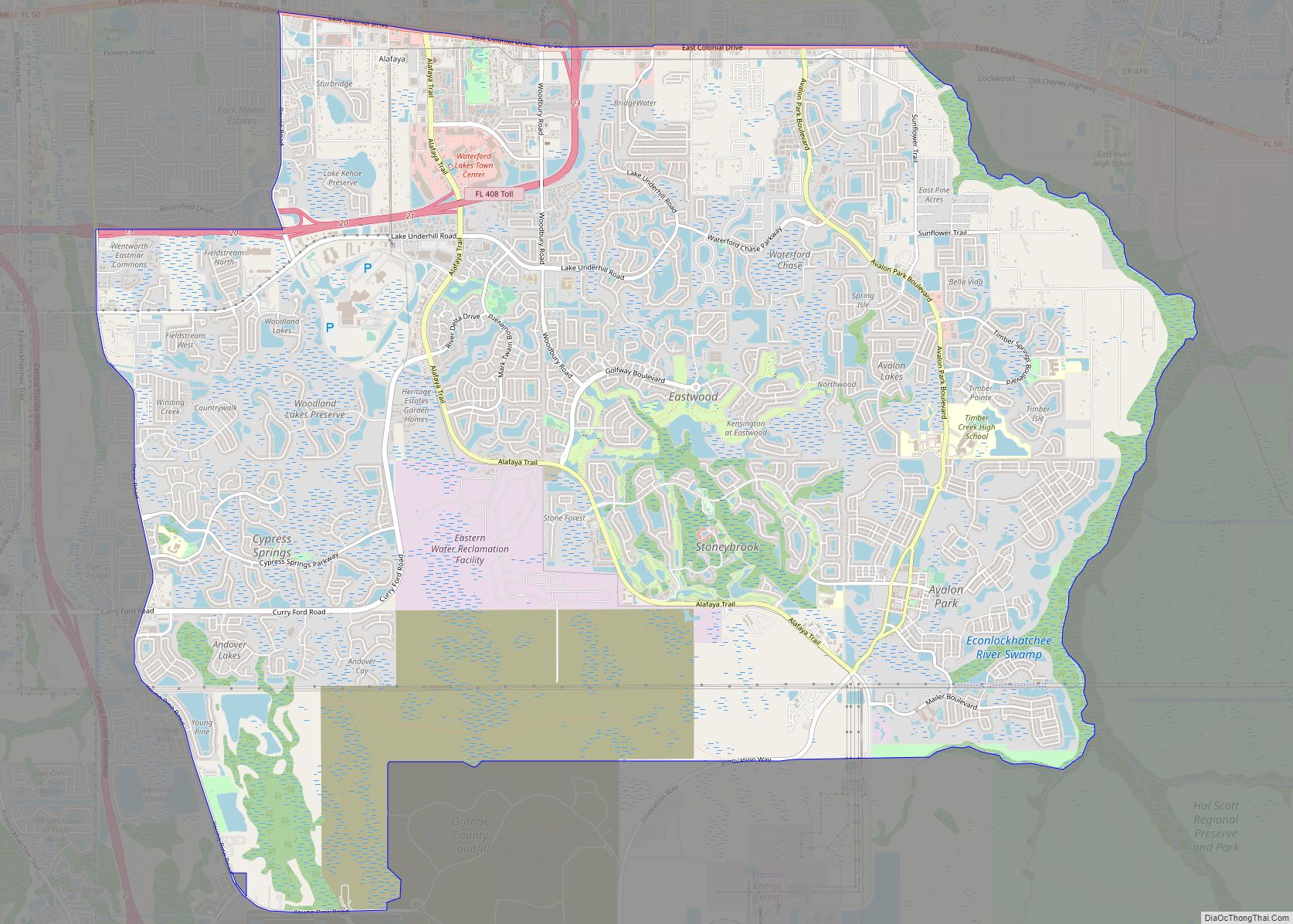
Belle Isle Road Map
Belle Isle city Satellite Map
Geography
According to the United States Census Bureau, the city has a total area of 5.1 square miles (13.2 km), of which 2.3 square miles (6.0 km) is land and 2.8 square miles (7.2 km) (54.42%) is water.
The city of Belle Isle is close to Orlando International Airport, being only three miles northwest of it; Orlando itself is only five miles north. Belle Isle is the location of Lake Conway, one of Greater Orlando’s largest lakes. The southern portion of Little Lake Conway, another large lake, is also in Belle Isle.
See also
Map of Florida State and its subdivision:- Alachua
- Baker
- Bay
- Bradford
- Brevard
- Broward
- Calhoun
- Charlotte
- Citrus
- Clay
- Collier
- Columbia
- Desoto
- Dixie
- Duval
- Escambia
- Flagler
- Franklin
- Gadsden
- Gilchrist
- Glades
- Gulf
- Hamilton
- Hardee
- Hendry
- Hernando
- Highlands
- Hillsborough
- Holmes
- Indian River
- Jackson
- Jefferson
- Lafayette
- Lake
- Lee
- Leon
- Levy
- Liberty
- Madison
- Manatee
- Marion
- Martin
- Miami-Dade
- Monroe
- Nassau
- Okaloosa
- Okeechobee
- Orange
- Osceola
- Palm Beach
- Pasco
- Pinellas
- Polk
- Putnam
- Saint Johns
- Saint Lucie
- Santa Rosa
- Sarasota
- Seminole
- Sumter
- Suwannee
- Taylor
- Union
- Volusia
- Wakulla
- Walton
- Washington
- Alabama
- Alaska
- Arizona
- Arkansas
- California
- Colorado
- Connecticut
- Delaware
- District of Columbia
- Florida
- Georgia
- Hawaii
- Idaho
- Illinois
- Indiana
- Iowa
- Kansas
- Kentucky
- Louisiana
- Maine
- Maryland
- Massachusetts
- Michigan
- Minnesota
- Mississippi
- Missouri
- Montana
- Nebraska
- Nevada
- New Hampshire
- New Jersey
- New Mexico
- New York
- North Carolina
- North Dakota
- Ohio
- Oklahoma
- Oregon
- Pennsylvania
- Rhode Island
- South Carolina
- South Dakota
- Tennessee
- Texas
- Utah
- Vermont
- Virginia
- Washington
- West Virginia
- Wisconsin
- Wyoming
