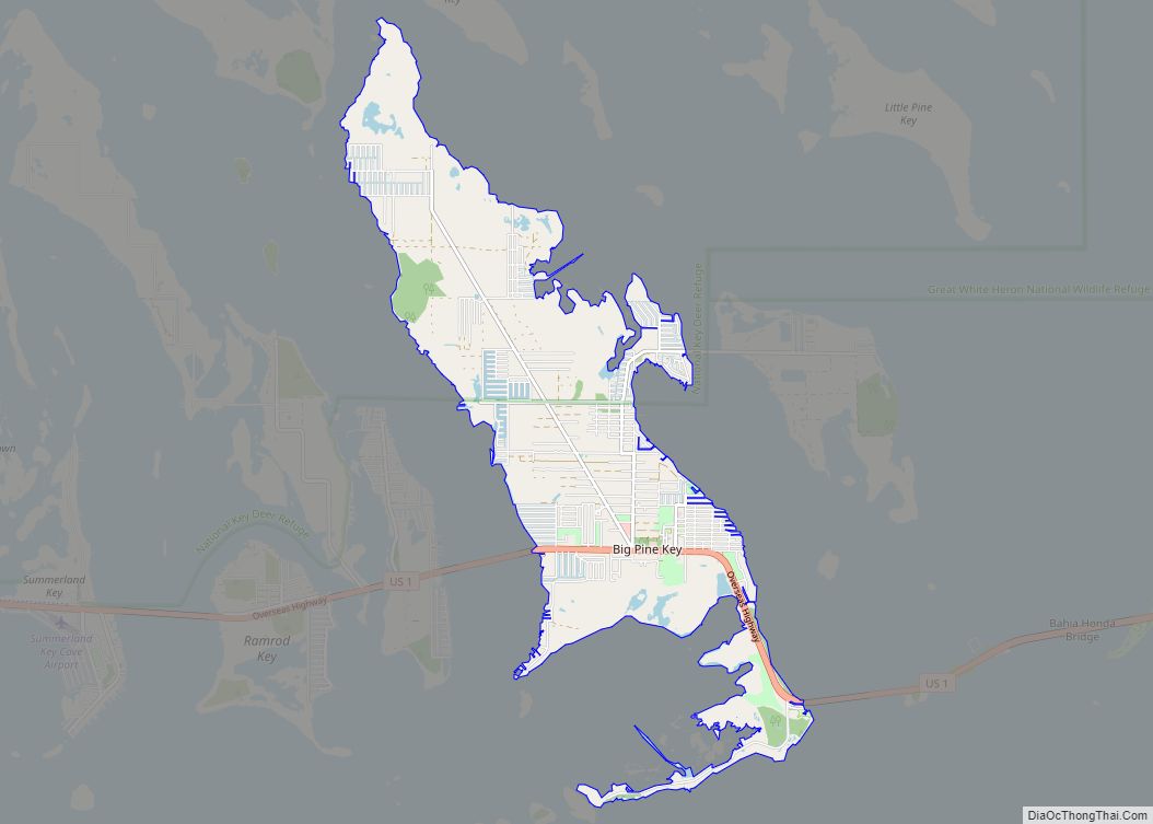
Big Pine Key is a census-designated place and unincorporated community in Monroe County, Florida, United States, on an island of the same name in the Florida Keys. As of the 2020 census, the town had a total population of 4,521.
| Name: | Big Pine Key CDP |
|---|---|
| LSAD Code: | 57 |
| LSAD Description: | CDP (suffix) |
| State: | Florida |
| County: | Monroe County |
| Elevation: | 3 ft (1 m) |
| Total Area: | 10.31 sq mi (26.70 km²) |
| Land Area: | 10.20 sq mi (26.43 km²) |
| Water Area: | 0.11 sq mi (0.28 km²) |
| Total Population: | 4,521 |
| Population Density: | 443.06/sq mi (171.07/km²) |
| ZIP code: | 33043 |
| Area code: | 305 |
| FIPS code: | 1206425 |
Online Interactive Map
Click on ![]() to view map in "full screen" mode.
to view map in "full screen" mode.
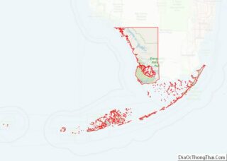
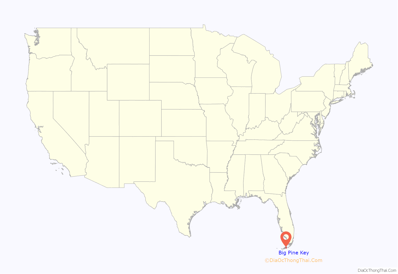
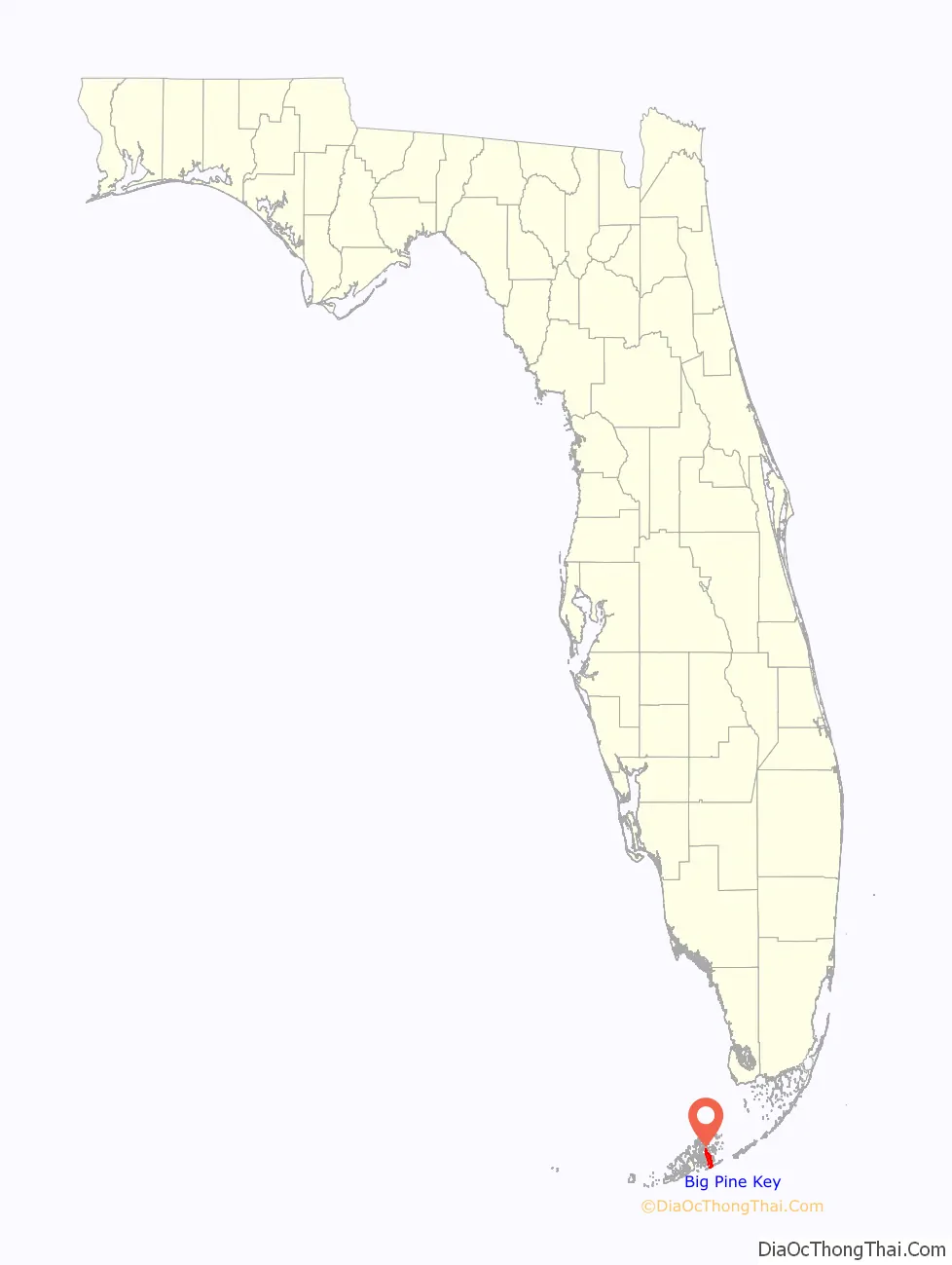
Big Pine Key location map. Where is Big Pine Key CDP?
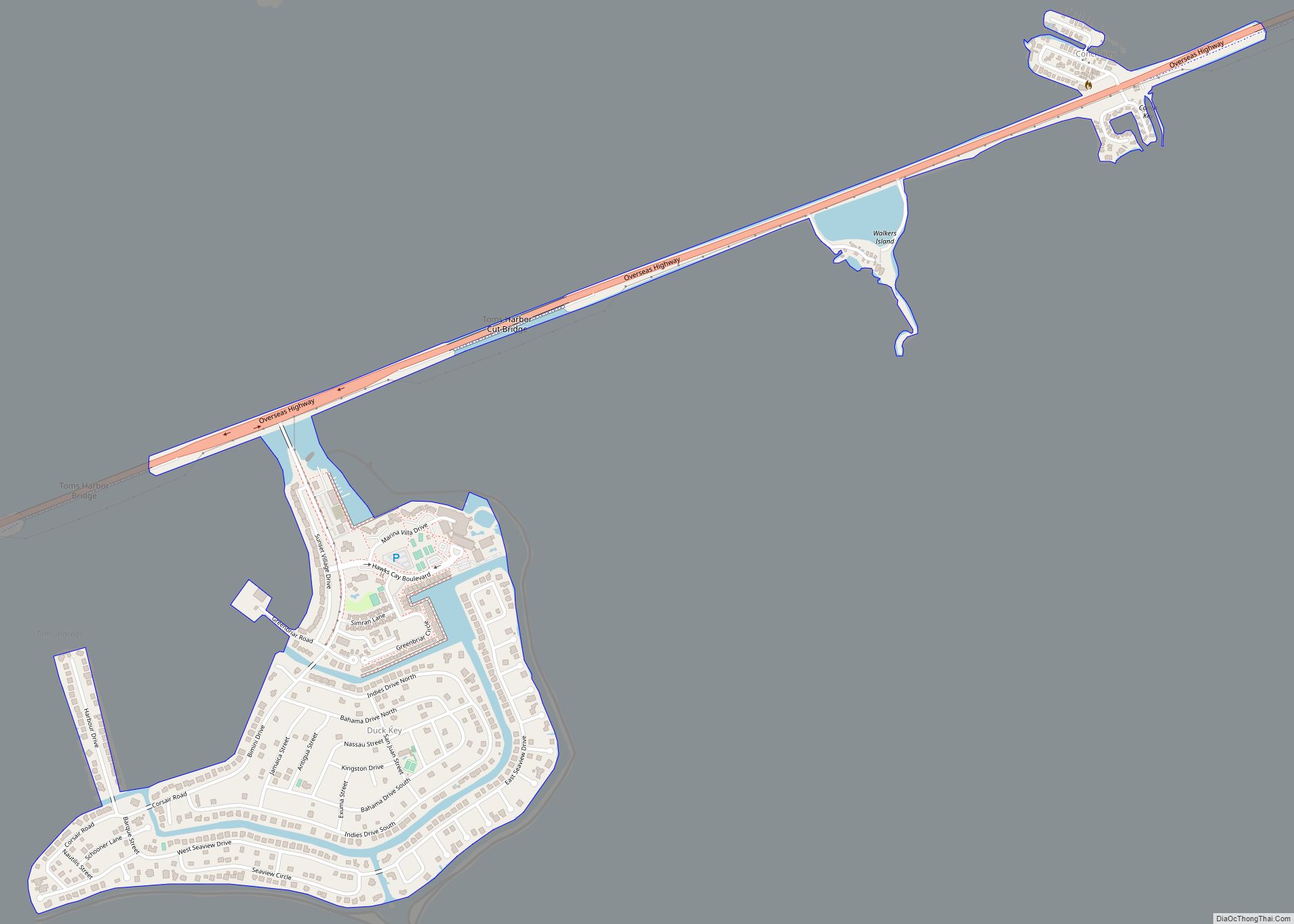
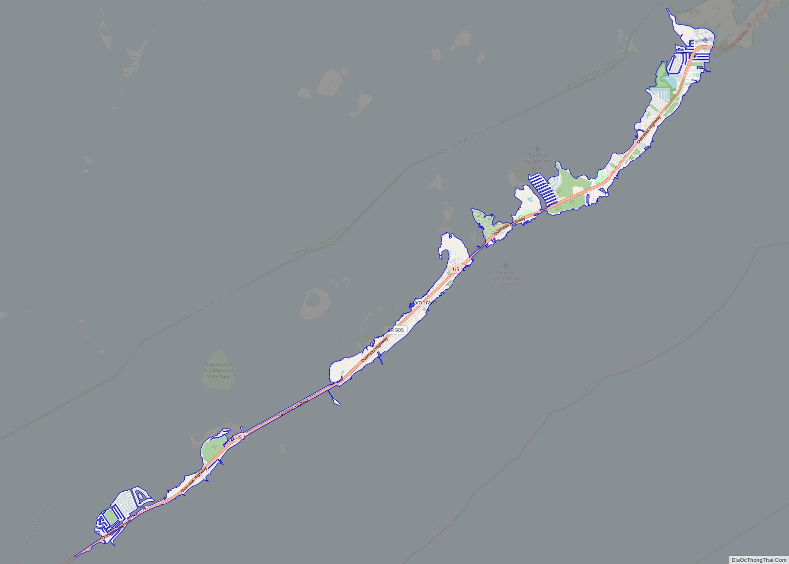
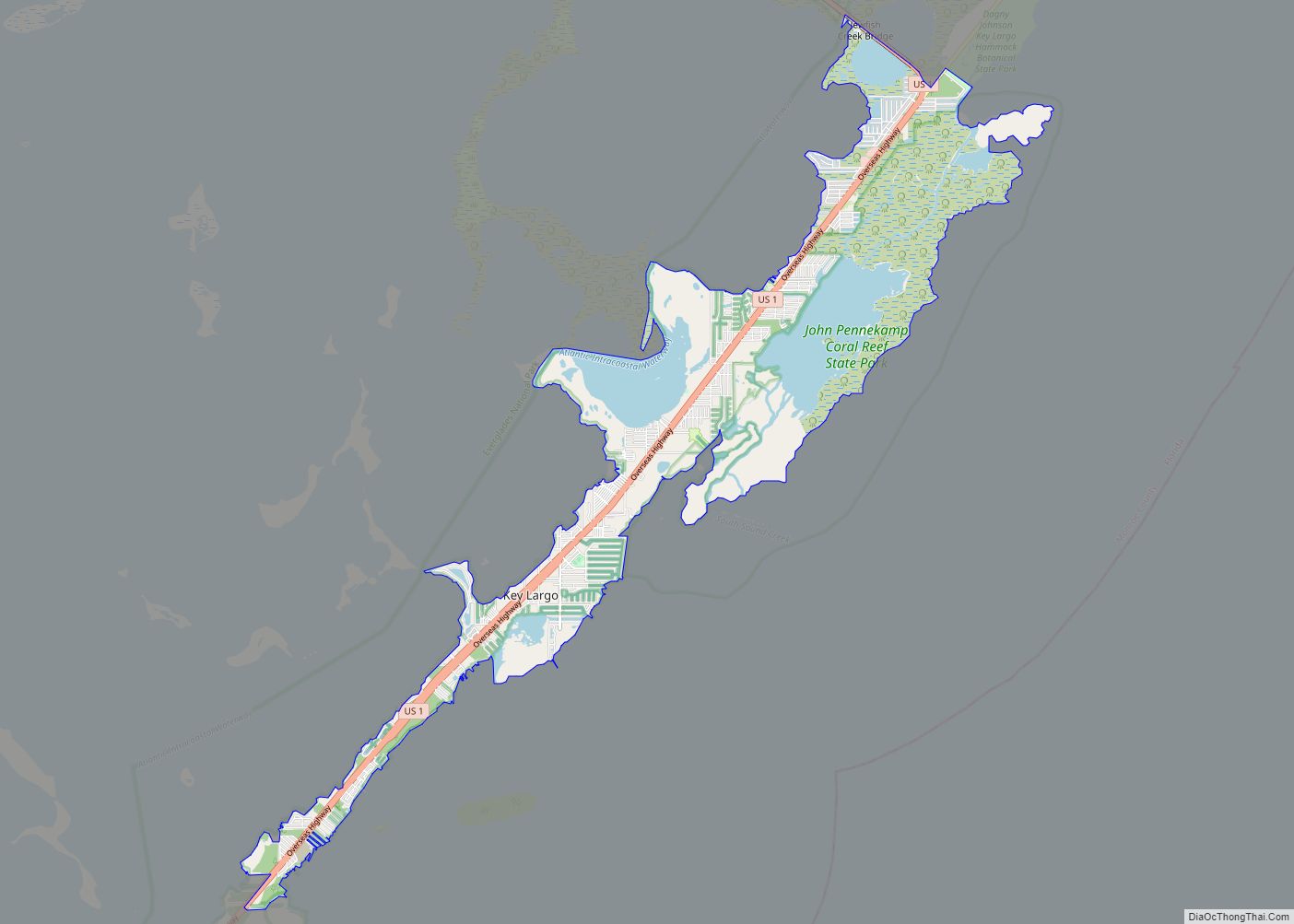
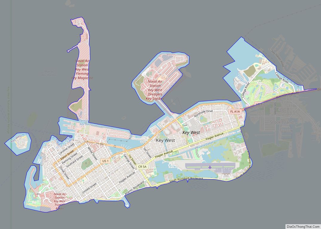
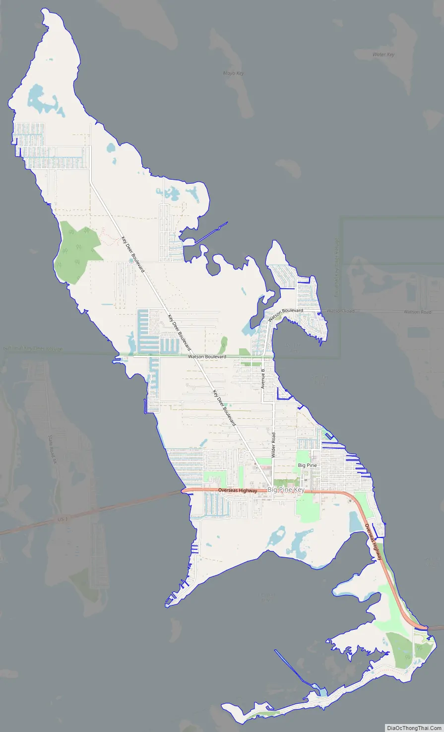
Big Pine Key Road Map
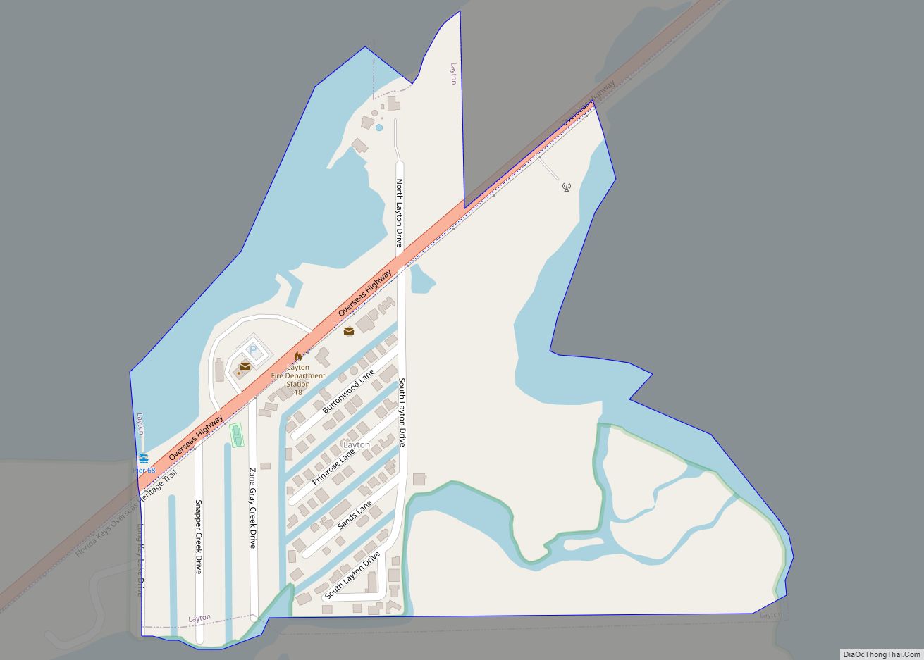
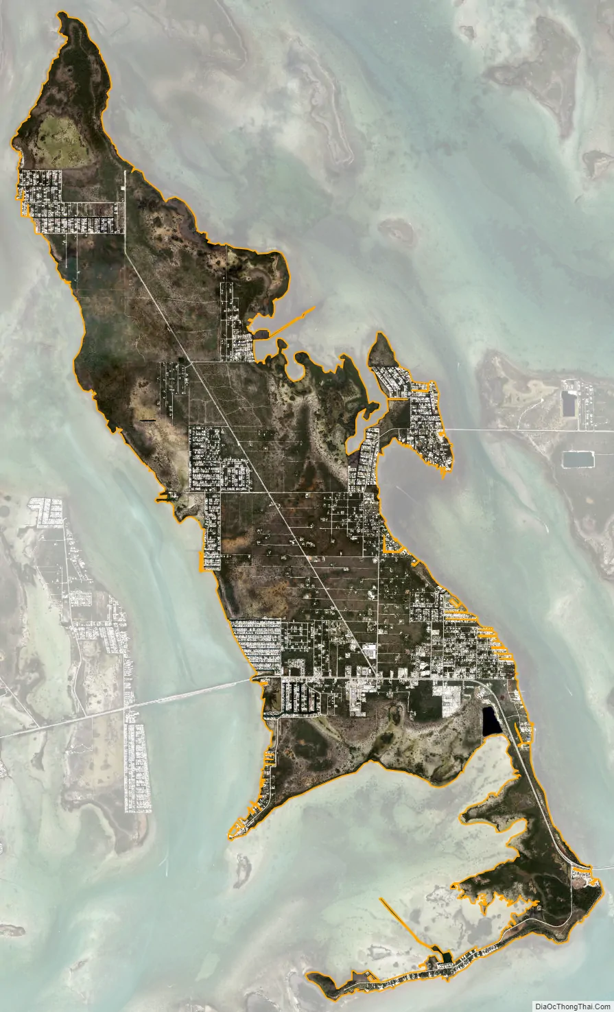
Big Pine Key city Satellite Map
Geography
U.S. 1 (the Overseas Highway) crosses the key at mile markers 29.5–33, one of the few places on the keys where the road orients north–south (along the eastern edge of the Key). The highway leads west-southwest 29 miles (47 km) to Key West and east-northeast 21 miles (34 km) to Marathon.
Big Pine Key was the location of one of the stations of the Overseas Railroad.
According to the United States Census Bureau, the CDP has a total area of 10.3 square miles (27 km), of which 0.1 square miles (0.3 km), or 1.04%, is covered by water.
See also
Map of Florida State and its subdivision:- Alachua
- Baker
- Bay
- Bradford
- Brevard
- Broward
- Calhoun
- Charlotte
- Citrus
- Clay
- Collier
- Columbia
- Desoto
- Dixie
- Duval
- Escambia
- Flagler
- Franklin
- Gadsden
- Gilchrist
- Glades
- Gulf
- Hamilton
- Hardee
- Hendry
- Hernando
- Highlands
- Hillsborough
- Holmes
- Indian River
- Jackson
- Jefferson
- Lafayette
- Lake
- Lee
- Leon
- Levy
- Liberty
- Madison
- Manatee
- Marion
- Martin
- Miami-Dade
- Monroe
- Nassau
- Okaloosa
- Okeechobee
- Orange
- Osceola
- Palm Beach
- Pasco
- Pinellas
- Polk
- Putnam
- Saint Johns
- Saint Lucie
- Santa Rosa
- Sarasota
- Seminole
- Sumter
- Suwannee
- Taylor
- Union
- Volusia
- Wakulla
- Walton
- Washington
- Alabama
- Alaska
- Arizona
- Arkansas
- California
- Colorado
- Connecticut
- Delaware
- District of Columbia
- Florida
- Georgia
- Hawaii
- Idaho
- Illinois
- Indiana
- Iowa
- Kansas
- Kentucky
- Louisiana
- Maine
- Maryland
- Massachusetts
- Michigan
- Minnesota
- Mississippi
- Missouri
- Montana
- Nebraska
- Nevada
- New Hampshire
- New Jersey
- New Mexico
- New York
- North Carolina
- North Dakota
- Ohio
- Oklahoma
- Oregon
- Pennsylvania
- Rhode Island
- South Carolina
- South Dakota
- Tennessee
- Texas
- Utah
- Vermont
- Virginia
- Washington
- West Virginia
- Wisconsin
- Wyoming