Carrollwood is a census-designated place (CDP) in northwestern Hillsborough County, Florida, United States. The population was 33,365 at the 2010 census. The census area includes the unincorporated communities of Carrollwood and Carrollwood Village. For the 2000 census the area was enumerated under the name “Greater Carrollwood” and had a population of 33,519. A similar area was listed as “Lake Carroll” in 1970 and 1980; for the 1990 census it was split into the smaller Carrollwood and Carrollwood Village CDPs.
| Name: | Carrollwood CDP |
|---|---|
| LSAD Code: | 57 |
| LSAD Description: | CDP (suffix) |
| State: | Florida |
| County: | Hillsborough County |
| Total Area: | 10.27 sq mi (26.61 km²) |
| Land Area: | 9.22 sq mi (23.89 km²) |
| Water Area: | 1.05 sq mi (2.71 km²) |
| Total Population: | 34,352 |
| Population Density: | 3,723.79/sq mi (1,437.71/km²) |
| Area code: | 813 |
| FIPS code: | 1210825 |
| Website: | www.carrollwoodvillage.com |
Online Interactive Map
Click on ![]() to view map in "full screen" mode.
to view map in "full screen" mode.
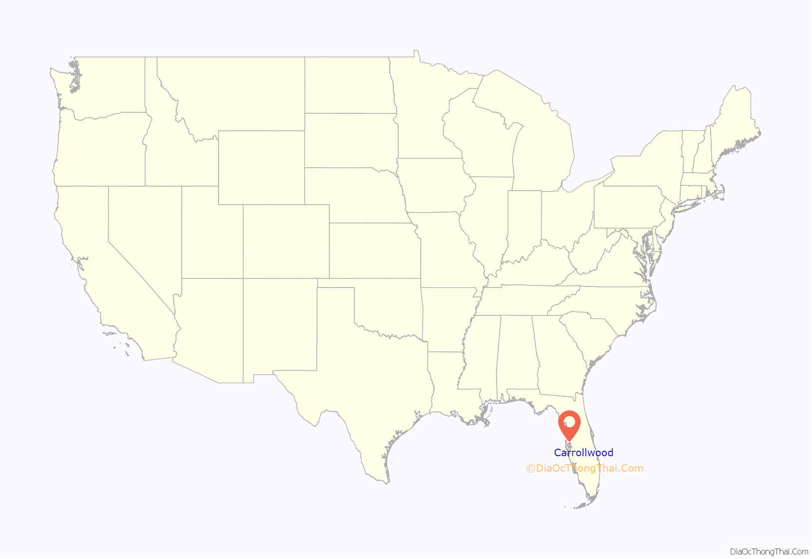
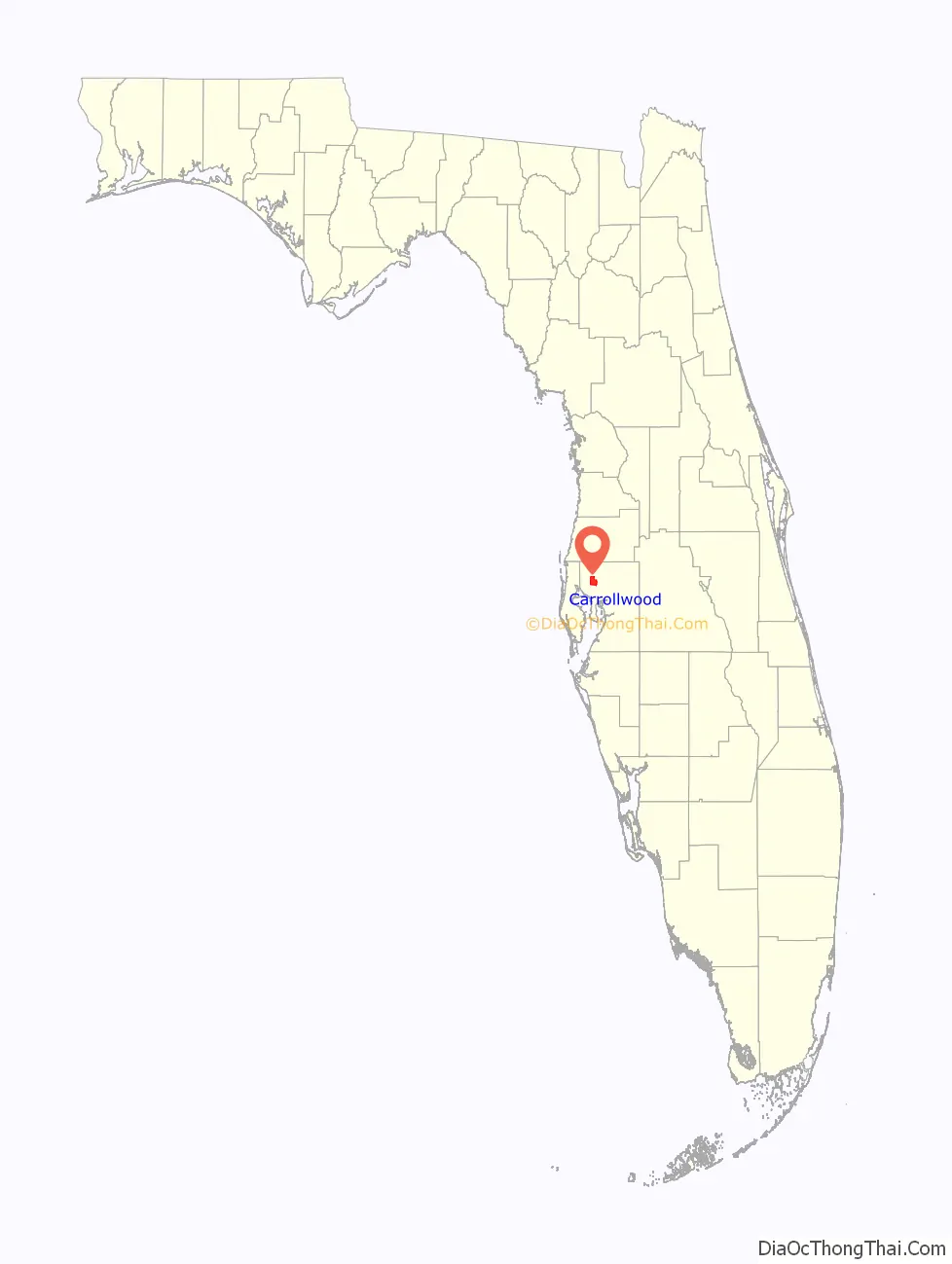
Carrollwood location map. Where is Carrollwood CDP?
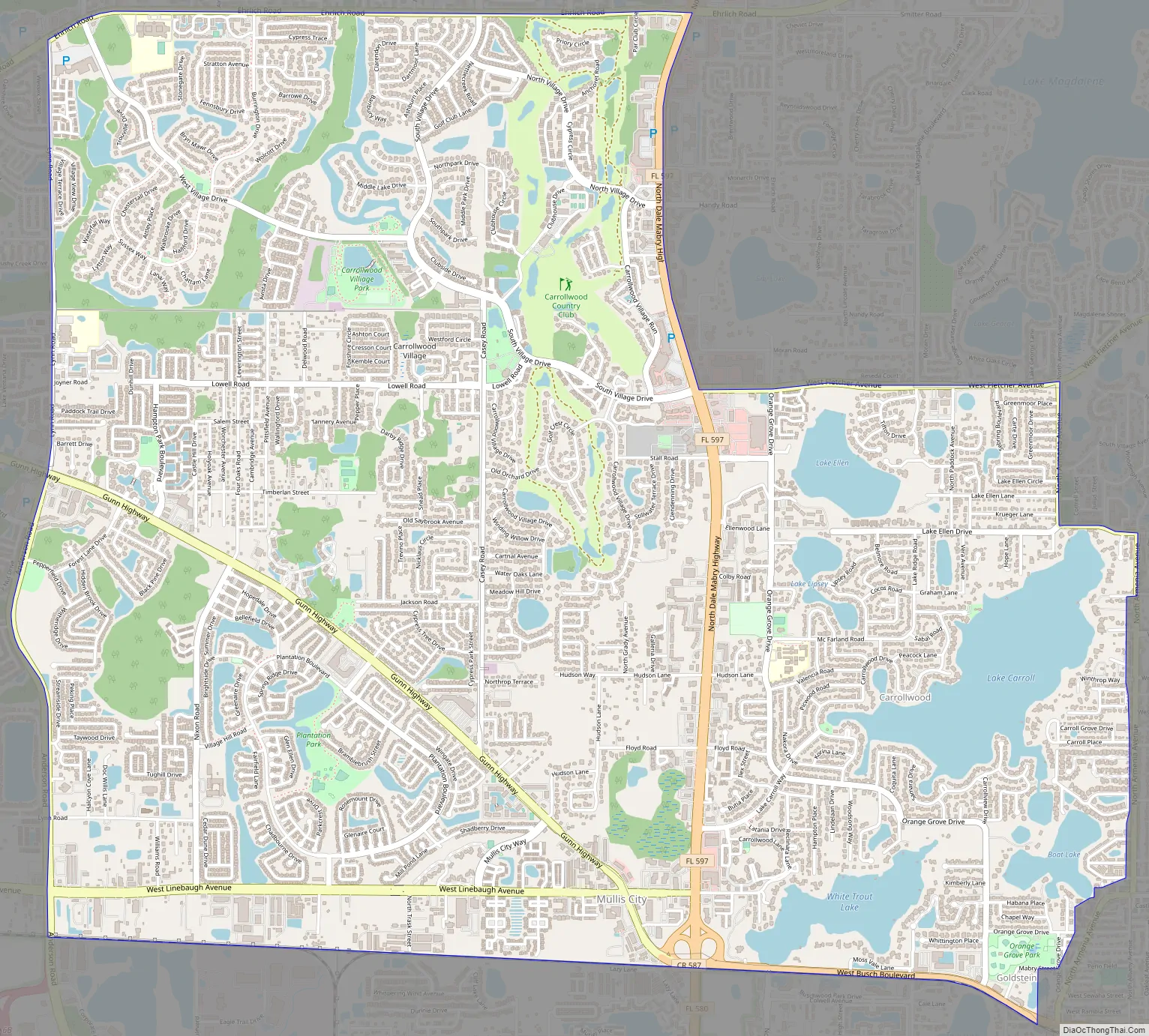
Carrollwood Road Map
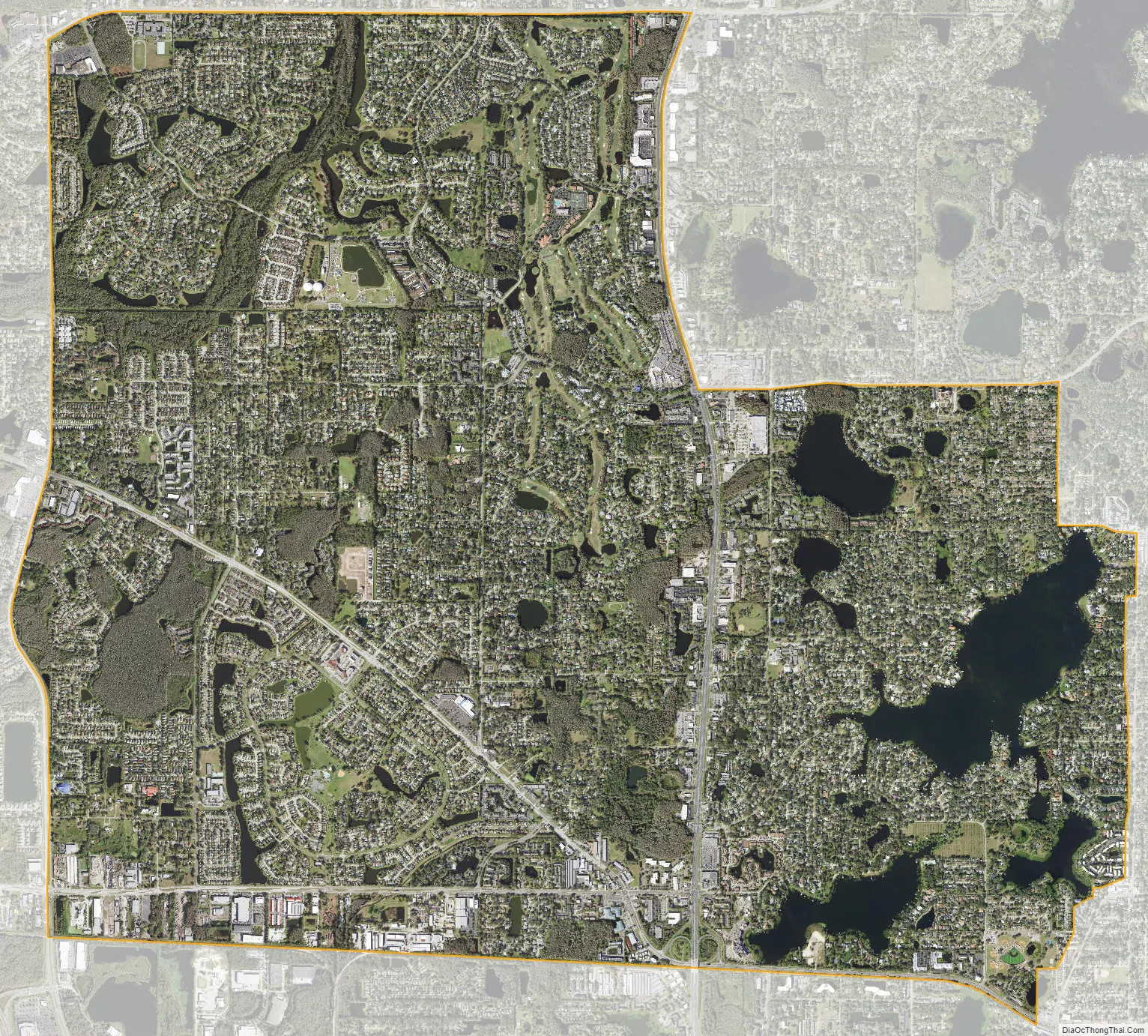
Carrollwood city Satellite Map
Geography
Carrollwood is in northwestern Hillsborough County 28°3′29″N 82°30′55″W / 28.05806°N 82.51528°W / 28.05806; -82.51528 (28.058166, -82.515413), about 9 miles (14 km) north-northwest of downtown Tampa. The Carrollwood CDP is bordered by Citrus Park to the west, Egypt Lake-Leto and Town ‘n’ Country to the south, Northdale to the north and Lake Magdalene and Forest Hills (Tampa) to the east. The CDP borders follow West Busch Boulevard and a CSX rail line on the south; Anderson Road and Lynn Road on the west; County Road 582 (Ehrlich Road) on the north; and State Road 597 (N. Dale Mabry Highway), Fletcher Avenue, and N. Armenia Avenue on the east to the Tampa border.
According to the United States Census Bureau, the Carrollwood CDP has a total area of 10.3 square miles (26.6 km), of which 9.2 square miles (23.9 km) are land and 1.0 square mile (2.7 km), or 10.33%, is water. Lake Carroll, Lake Ellen, Lake Lipsey, White Trout Lake, and Boat Lake are in the eastern part of the CDP.
See also
Map of Florida State and its subdivision:- Alachua
- Baker
- Bay
- Bradford
- Brevard
- Broward
- Calhoun
- Charlotte
- Citrus
- Clay
- Collier
- Columbia
- Desoto
- Dixie
- Duval
- Escambia
- Flagler
- Franklin
- Gadsden
- Gilchrist
- Glades
- Gulf
- Hamilton
- Hardee
- Hendry
- Hernando
- Highlands
- Hillsborough
- Holmes
- Indian River
- Jackson
- Jefferson
- Lafayette
- Lake
- Lee
- Leon
- Levy
- Liberty
- Madison
- Manatee
- Marion
- Martin
- Miami-Dade
- Monroe
- Nassau
- Okaloosa
- Okeechobee
- Orange
- Osceola
- Palm Beach
- Pasco
- Pinellas
- Polk
- Putnam
- Saint Johns
- Saint Lucie
- Santa Rosa
- Sarasota
- Seminole
- Sumter
- Suwannee
- Taylor
- Union
- Volusia
- Wakulla
- Walton
- Washington
- Alabama
- Alaska
- Arizona
- Arkansas
- California
- Colorado
- Connecticut
- Delaware
- District of Columbia
- Florida
- Georgia
- Hawaii
- Idaho
- Illinois
- Indiana
- Iowa
- Kansas
- Kentucky
- Louisiana
- Maine
- Maryland
- Massachusetts
- Michigan
- Minnesota
- Mississippi
- Missouri
- Montana
- Nebraska
- Nevada
- New Hampshire
- New Jersey
- New Mexico
- New York
- North Carolina
- North Dakota
- Ohio
- Oklahoma
- Oregon
- Pennsylvania
- Rhode Island
- South Carolina
- South Dakota
- Tennessee
- Texas
- Utah
- Vermont
- Virginia
- Washington
- West Virginia
- Wisconsin
- Wyoming


