Citrus Park is an unincorporated census-designated place in Hillsborough County, Florida, United States. The population was 28,178 at the 2020 census, up from 24,252 at the 2010 census.
| Name: | Citrus Park CDP |
|---|---|
| LSAD Code: | 57 |
| LSAD Description: | CDP (suffix) |
| State: | Florida |
| County: | Hillsborough County |
| Elevation: | 43 ft (13 m) |
| Total Area: | 10.82 sq mi (28.02 km²) |
| Land Area: | 10.16 sq mi (26.33 km²) |
| Water Area: | 0.66 sq mi (1.70 km²) |
| Total Population: | 28,178 |
| Population Density: | 2,772.33/sq mi (1,070.38/km²) |
| Area code: | 813 |
| FIPS code: | 1212425 |
| GNISfeature ID: | 0280469 |
Online Interactive Map
Click on ![]() to view map in "full screen" mode.
to view map in "full screen" mode.
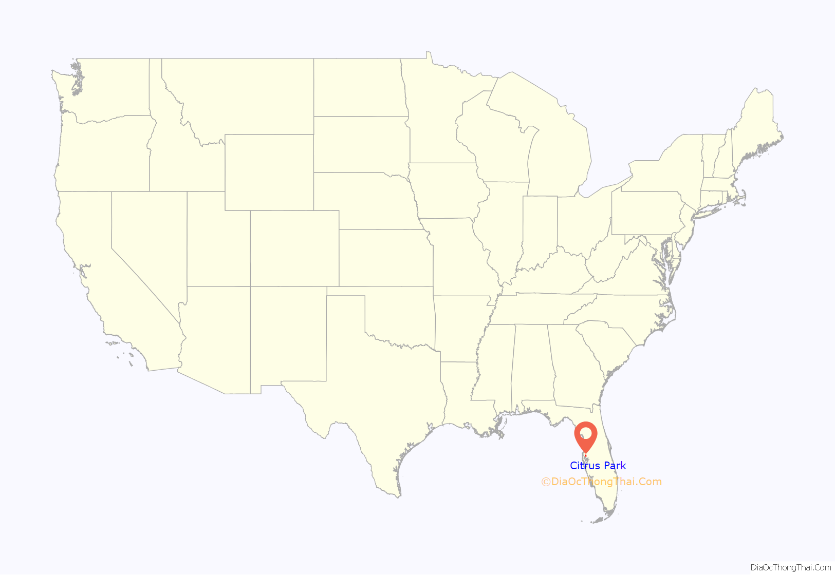
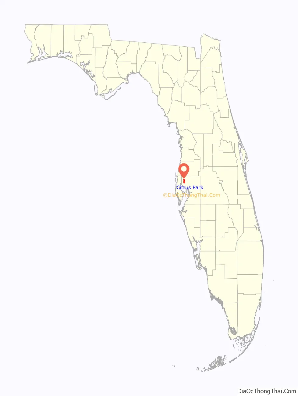
Citrus Park location map. Where is Citrus Park CDP?
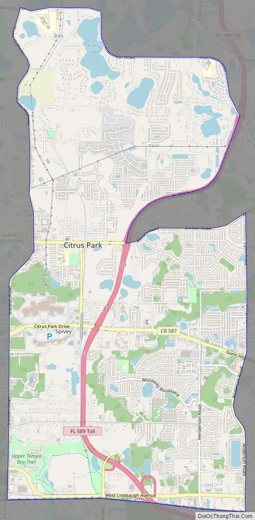
Citrus Park Road Map
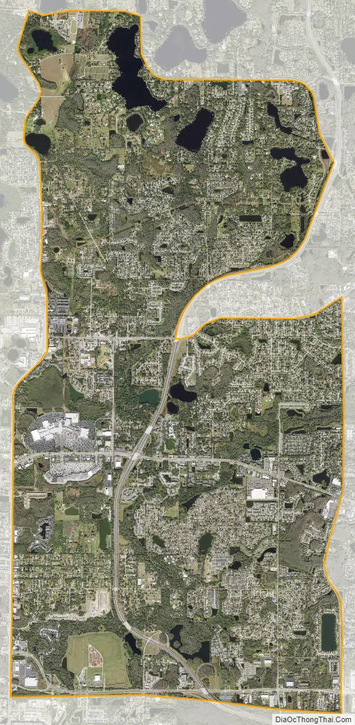
Citrus Park city Satellite Map
Geography
Citrus Park is located in northwestern Hillsborough County at 28°4′41.75″N 82°34′12.27″W / 28.0782639°N 82.5700750°W / 28.0782639; -82.5700750 (28.078060, -82.570000), approximately 15 miles (24 km) northwest of Tampa. It is bordered to the north by Keystone, to the northeast by Northdale, to the east by Carrollwood, to the south by Town ‘n’ Country, and to the west by Westchase. Florida State Road 589 (Veterans Expressway) crosses the CDP from north to south.
According to the United States Census Bureau, the Citrus Park CDP has a total area of 10.8 square miles (28.0 km), of which 10.2 square miles (26.3 km) are land and 0.66 square miles (1.7 km), or 6.08%, are water.
See also
Map of Florida State and its subdivision:- Alachua
- Baker
- Bay
- Bradford
- Brevard
- Broward
- Calhoun
- Charlotte
- Citrus
- Clay
- Collier
- Columbia
- Desoto
- Dixie
- Duval
- Escambia
- Flagler
- Franklin
- Gadsden
- Gilchrist
- Glades
- Gulf
- Hamilton
- Hardee
- Hendry
- Hernando
- Highlands
- Hillsborough
- Holmes
- Indian River
- Jackson
- Jefferson
- Lafayette
- Lake
- Lee
- Leon
- Levy
- Liberty
- Madison
- Manatee
- Marion
- Martin
- Miami-Dade
- Monroe
- Nassau
- Okaloosa
- Okeechobee
- Orange
- Osceola
- Palm Beach
- Pasco
- Pinellas
- Polk
- Putnam
- Saint Johns
- Saint Lucie
- Santa Rosa
- Sarasota
- Seminole
- Sumter
- Suwannee
- Taylor
- Union
- Volusia
- Wakulla
- Walton
- Washington
- Alabama
- Alaska
- Arizona
- Arkansas
- California
- Colorado
- Connecticut
- Delaware
- District of Columbia
- Florida
- Georgia
- Hawaii
- Idaho
- Illinois
- Indiana
- Iowa
- Kansas
- Kentucky
- Louisiana
- Maine
- Maryland
- Massachusetts
- Michigan
- Minnesota
- Mississippi
- Missouri
- Montana
- Nebraska
- Nevada
- New Hampshire
- New Jersey
- New Mexico
- New York
- North Carolina
- North Dakota
- Ohio
- Oklahoma
- Oregon
- Pennsylvania
- Rhode Island
- South Carolina
- South Dakota
- Tennessee
- Texas
- Utah
- Vermont
- Virginia
- Washington
- West Virginia
- Wisconsin
- Wyoming


