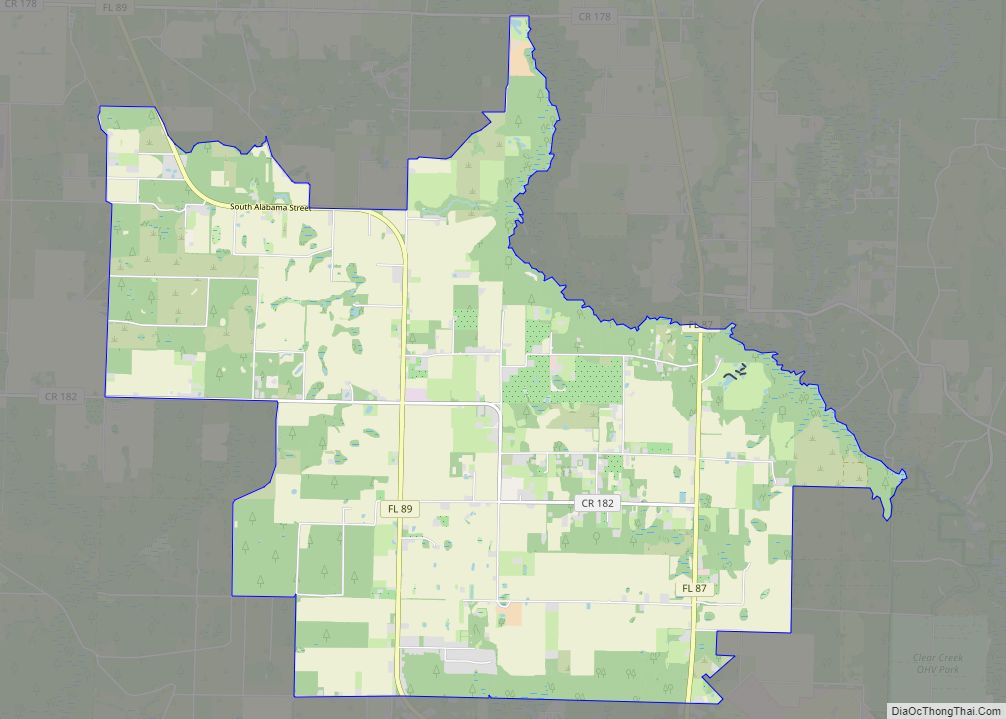
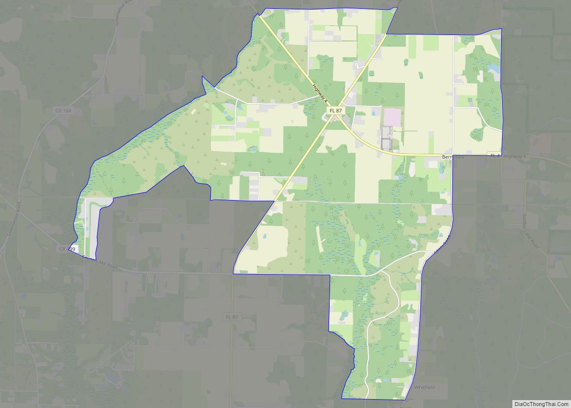
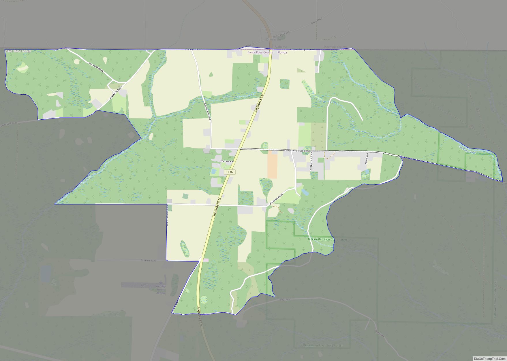
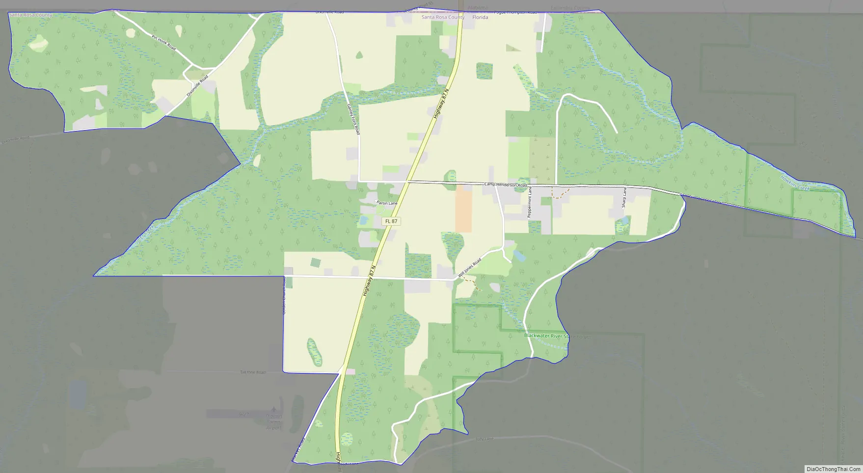
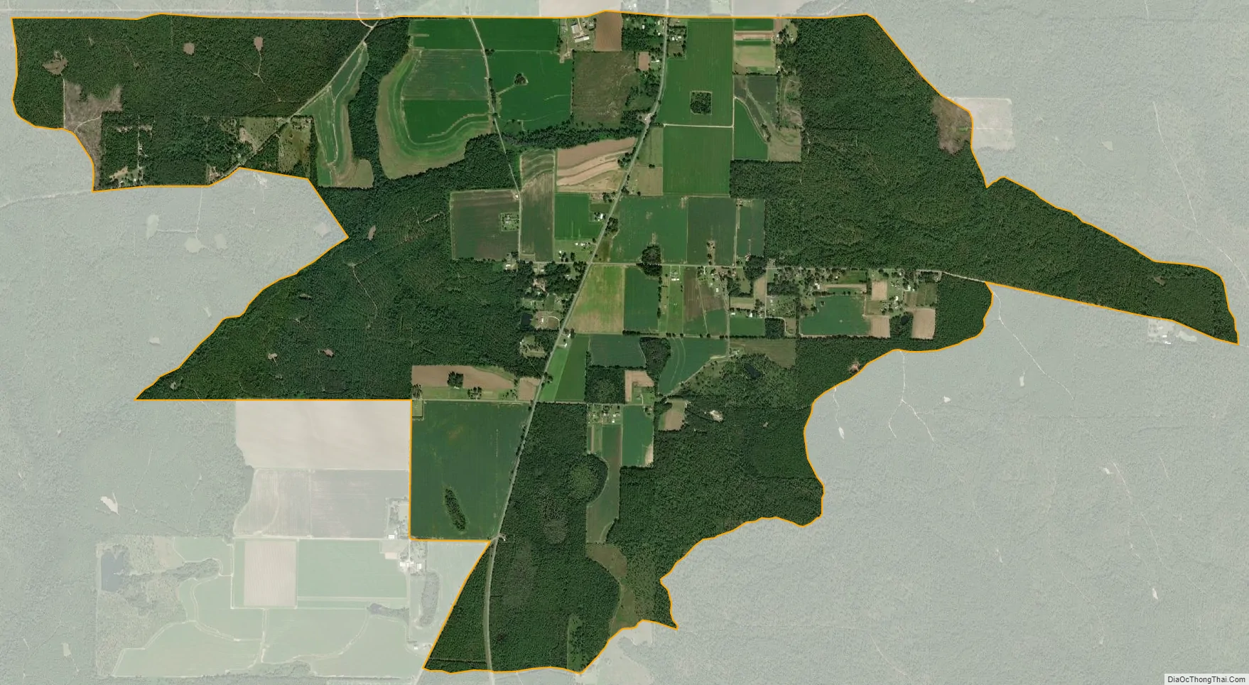
Dixonville is an unincorporated community and census-designated place in Santa Rosa County, Florida, United States. Its population was 181 as of the 2010 census. Florida State Road 87 passes through the community. The community name continues north of the state line in Alabama along Alabama State Route 41.
| Name: | Dixonville CDP |
|---|---|
| LSAD Code: | 57 |
| LSAD Description: | CDP (suffix) |
| State: | Florida |
| County: | Santa Rosa County |
| Elevation: | 276 ft (84 m) |
| Total Area: | 4.990 sq mi (12.92 km²) |
| Land Area: | 4.969 sq mi (12.87 km²) |
| Water Area: | 0.021 sq mi (0.05 km²) |
| Total Population: | 181 |
| Population Density: | 36/sq mi (14/km²) |
| Area code: | 850 |
| FIPS code: | 1217710 |
| GNISfeature ID: | 2652408 |
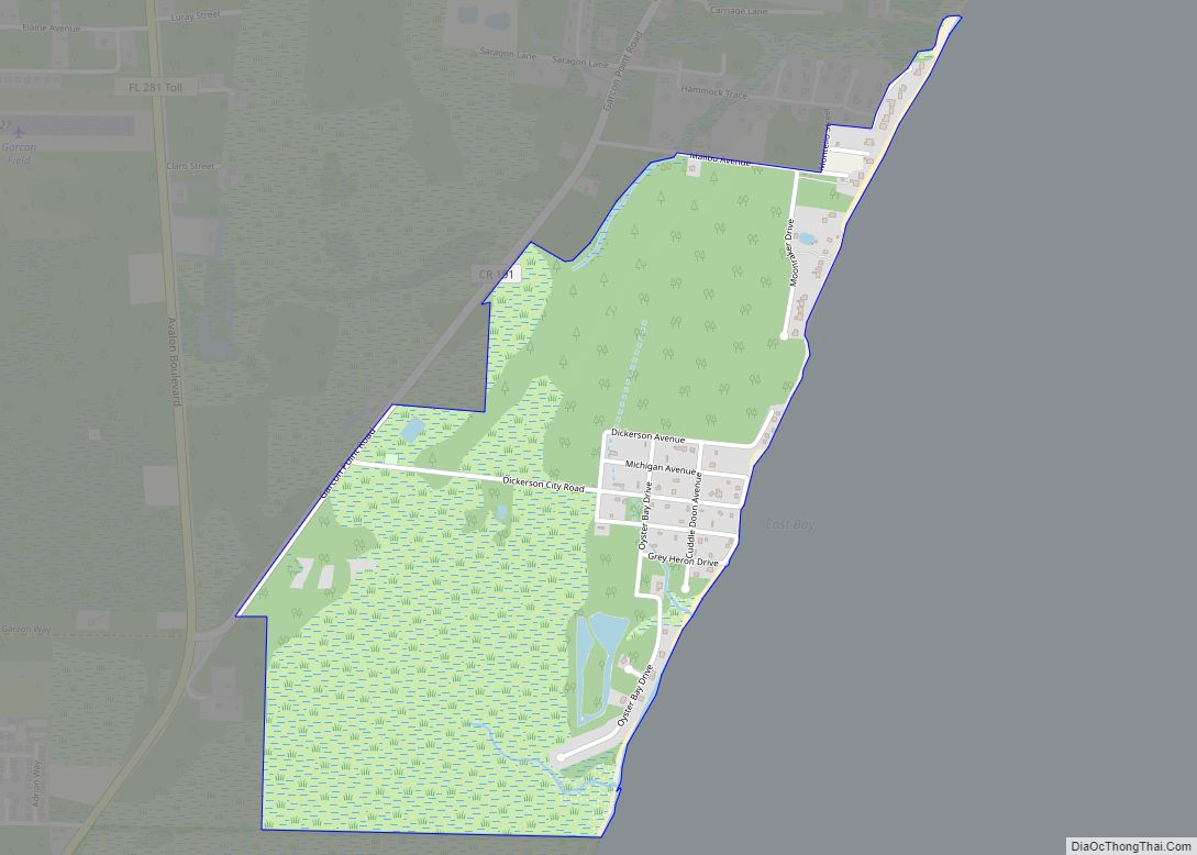
Online Interactive Map
Click on ![]() to view map in "full screen" mode.
to view map in "full screen" mode.
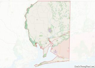
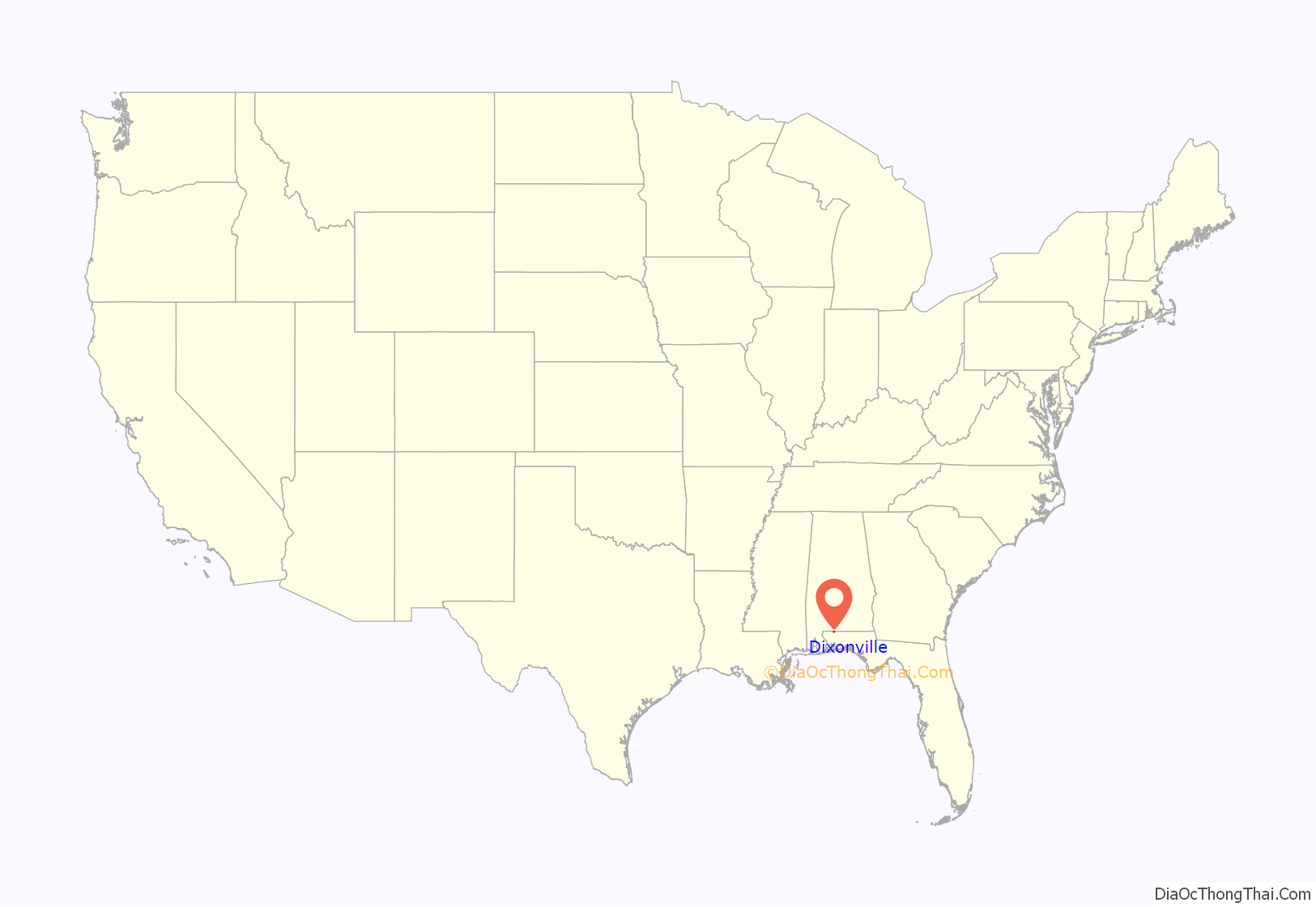
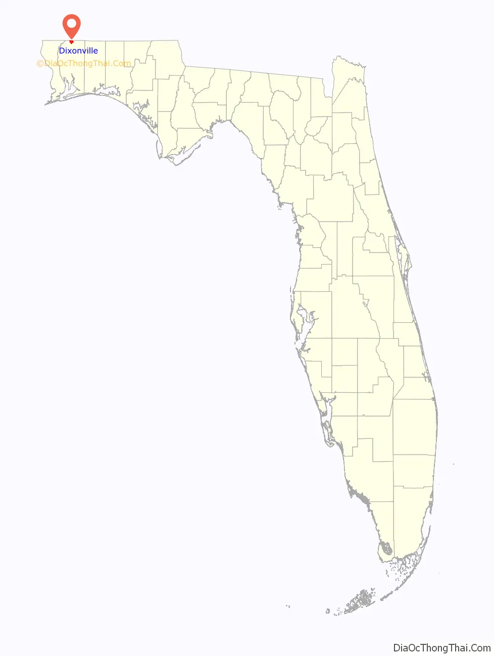
Dixonville location map. Where is Dixonville CDP?
Dixonville Road Map
Dixonville city Satellite Map
Geography
According to the U.S. Census Bureau, the community has an area of 4.990 square miles (12.92 km); 4.969 square miles (12.87 km) of its area is land, and 0.021 square miles (0.054 km) is water.
See also
Map of Florida State and its subdivision:- Alachua
- Baker
- Bay
- Bradford
- Brevard
- Broward
- Calhoun
- Charlotte
- Citrus
- Clay
- Collier
- Columbia
- Desoto
- Dixie
- Duval
- Escambia
- Flagler
- Franklin
- Gadsden
- Gilchrist
- Glades
- Gulf
- Hamilton
- Hardee
- Hendry
- Hernando
- Highlands
- Hillsborough
- Holmes
- Indian River
- Jackson
- Jefferson
- Lafayette
- Lake
- Lee
- Leon
- Levy
- Liberty
- Madison
- Manatee
- Marion
- Martin
- Miami-Dade
- Monroe
- Nassau
- Okaloosa
- Okeechobee
- Orange
- Osceola
- Palm Beach
- Pasco
- Pinellas
- Polk
- Putnam
- Saint Johns
- Saint Lucie
- Santa Rosa
- Sarasota
- Seminole
- Sumter
- Suwannee
- Taylor
- Union
- Volusia
- Wakulla
- Walton
- Washington
- Alabama
- Alaska
- Arizona
- Arkansas
- California
- Colorado
- Connecticut
- Delaware
- District of Columbia
- Florida
- Georgia
- Hawaii
- Idaho
- Illinois
- Indiana
- Iowa
- Kansas
- Kentucky
- Louisiana
- Maine
- Maryland
- Massachusetts
- Michigan
- Minnesota
- Mississippi
- Missouri
- Montana
- Nebraska
- Nevada
- New Hampshire
- New Jersey
- New Mexico
- New York
- North Carolina
- North Dakota
- Ohio
- Oklahoma
- Oregon
- Pennsylvania
- Rhode Island
- South Carolina
- South Dakota
- Tennessee
- Texas
- Utah
- Vermont
- Virginia
- Washington
- West Virginia
- Wisconsin
- Wyoming