Dr. Phillips is a census-designated place and an unincorporated area in Orange County, Florida, United States. It is a suburb of Orlando and is part of the Orlando–Kissimmee–Sanford, Florida Metropolitan Statistical Area. The population was 12,328 at the 2020 census.
The area of Dr. Phillips is named after Philip Phillips, a Central Florida citrus magnate. He was responsible for several key innovations in the processing and packaging of orange juice. By the early 1920s, he owned thousands of acres of groves, stretching across nine Central Florida counties and extending from Conroy Road on the north to the south end of the Sand Lake Chain, encompassing all of what is now Bay Hill, Orange Tree, Sand Lake Hills, Clubhouse Estates and Turkey Lake Park.
| Name: | Doctor Phillips CDP |
|---|---|
| LSAD Code: | 57 |
| LSAD Description: | CDP (suffix) |
| State: | Florida |
| County: | Orange County |
| Elevation: | 121 ft (37 m) |
| Total Area: | 4.72 sq mi (12.22 km²) |
| Land Area: | 3.40 sq mi (8.81 km²) |
| Water Area: | 1.31 sq mi (3.40 km²) |
| Total Population: | 12,328 |
| Population Density: | 3,622.69/sq mi (1,398.55/km²) |
| FIPS code: | 1217725 |
| GNISfeature ID: | 1867136 |
Online Interactive Map
Click on ![]() to view map in "full screen" mode.
to view map in "full screen" mode.
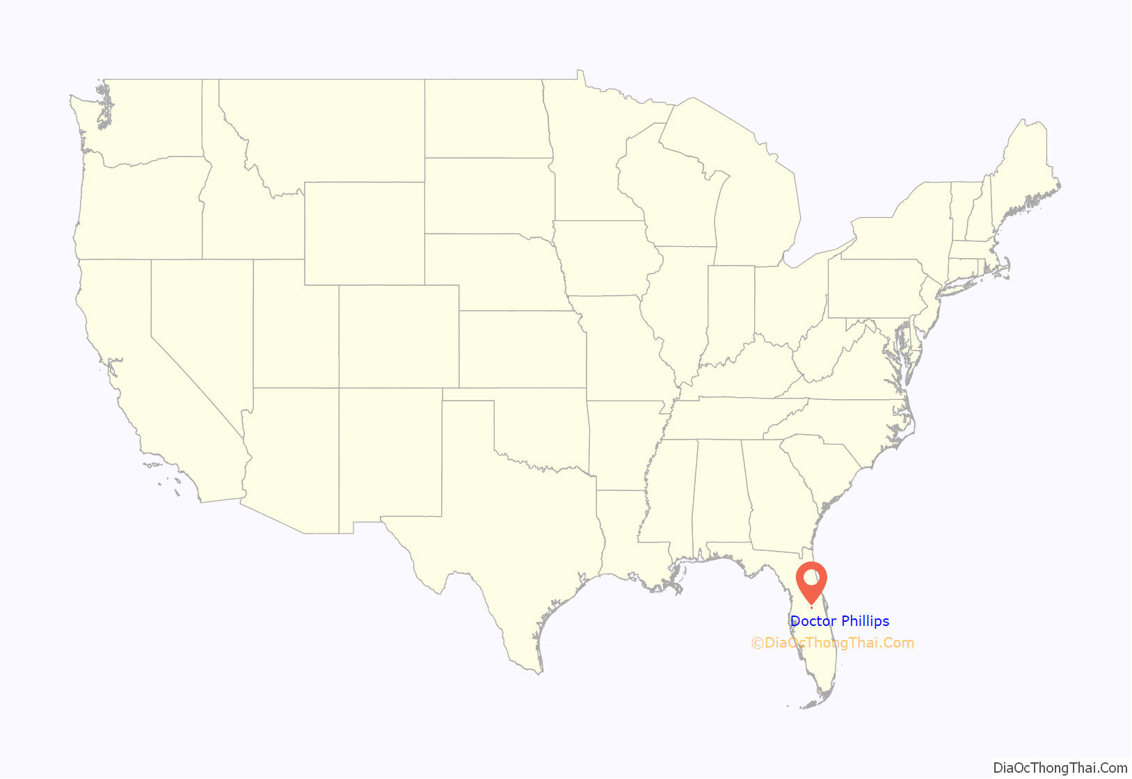
Doctor Phillips location map. Where is Doctor Phillips CDP?
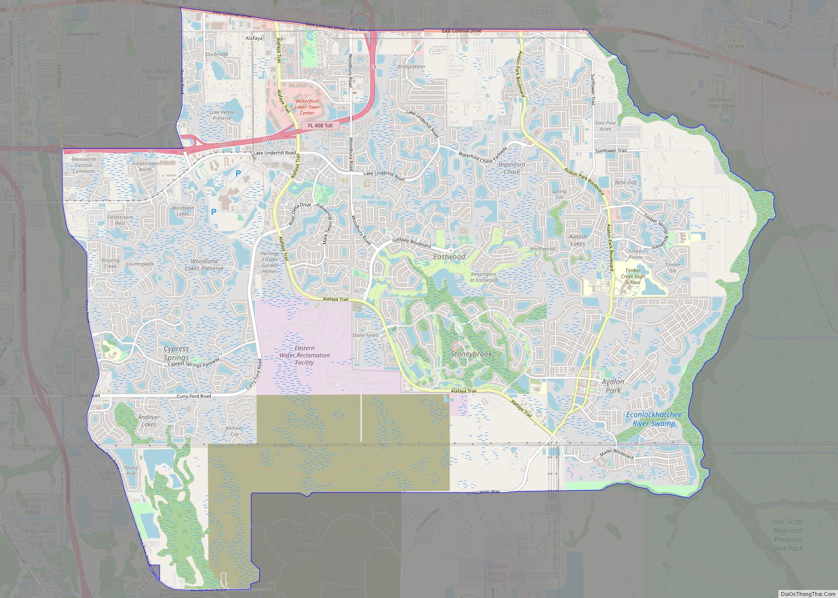
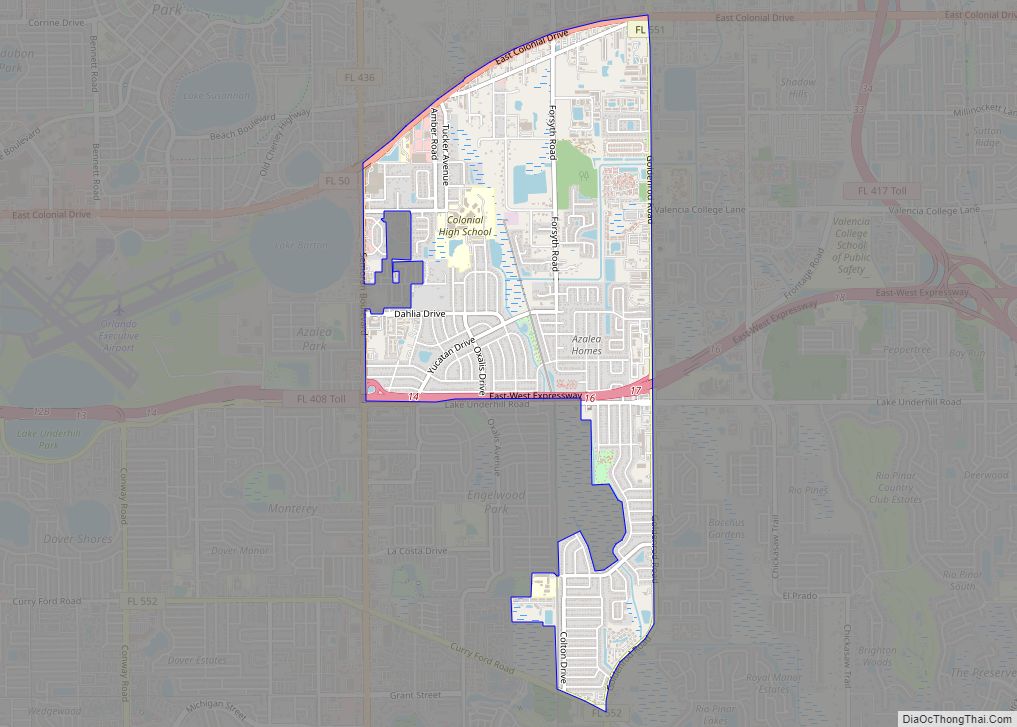
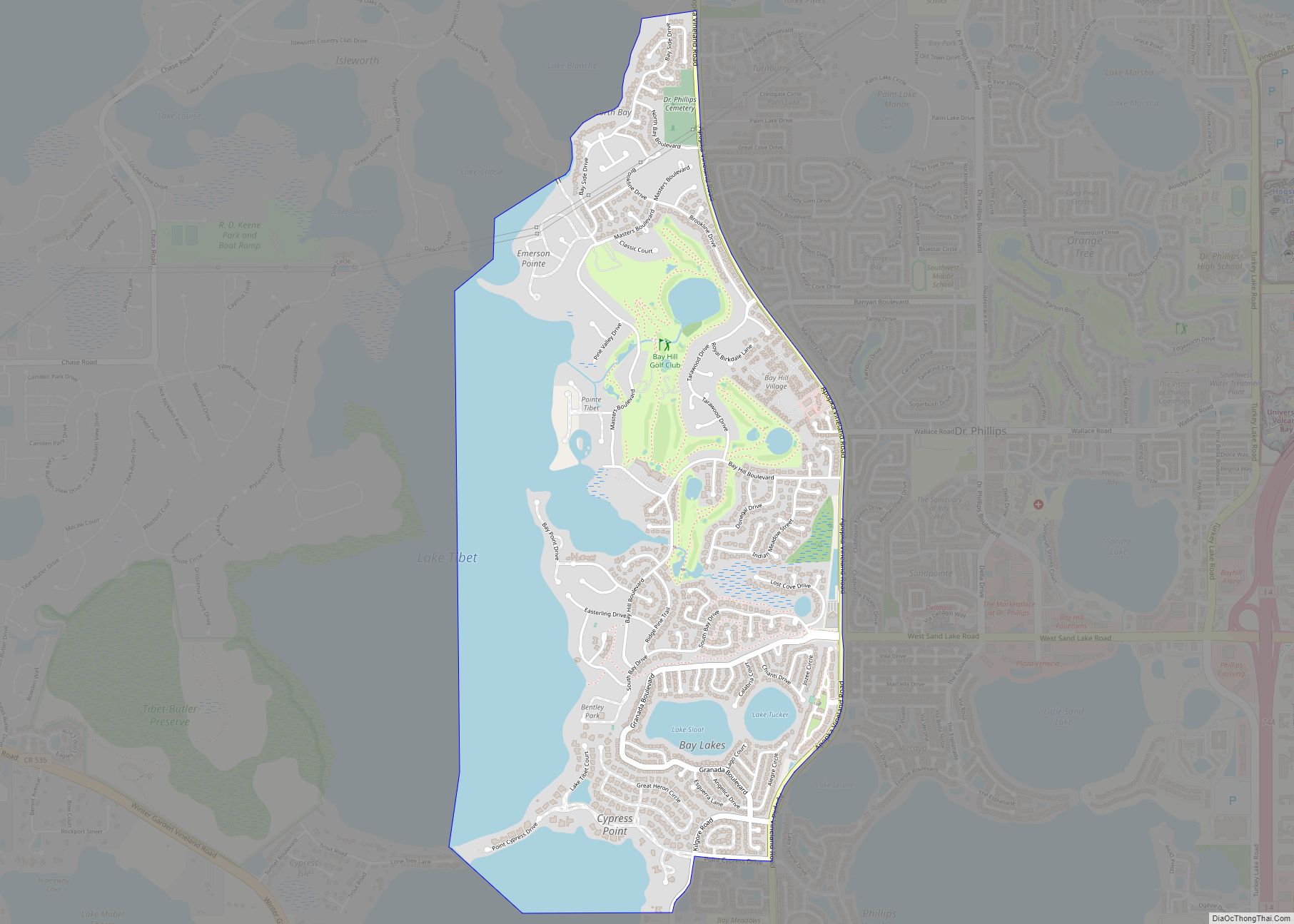
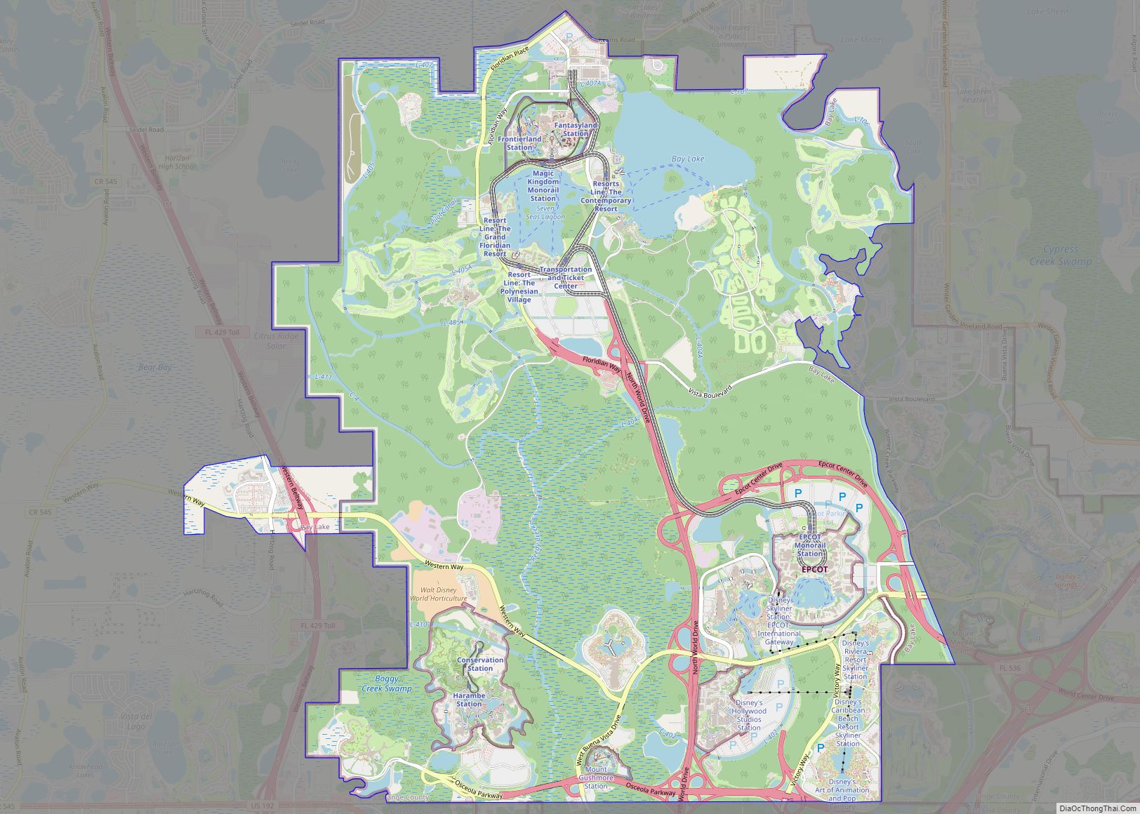
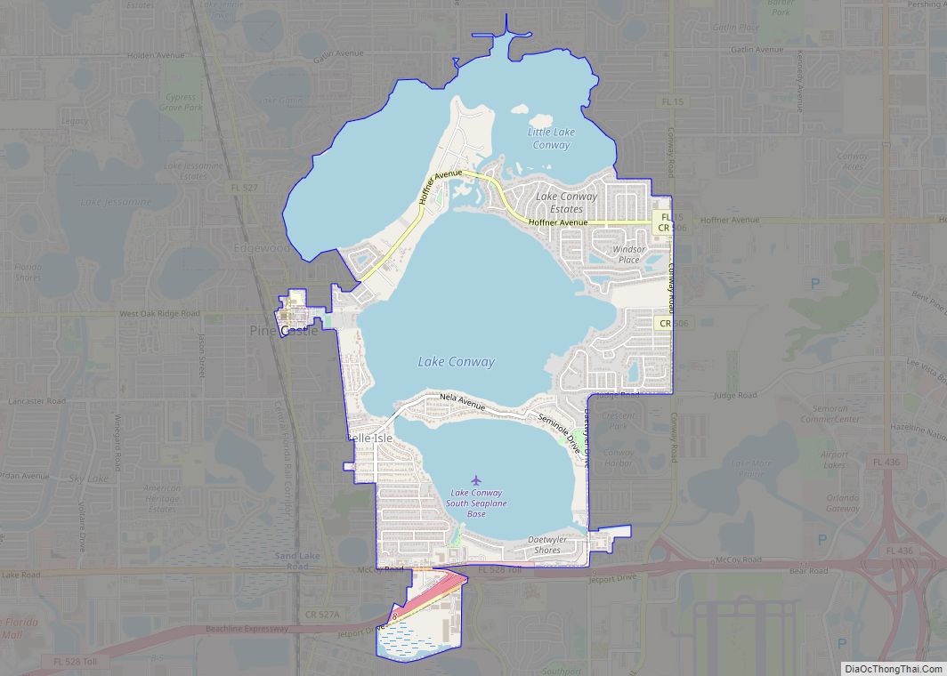
Doctor Phillips Road Map
Doctor Phillips city Satellite Map
Geography
According to the United States Census Bureau, the CDP has a total area of 12.6 km (4.8 mi), of which 8.8 km (3.4 mi) is land and 3.8 km (1.5 mi) (29.90%) is water.
See also
Map of Florida State and its subdivision:- Alachua
- Baker
- Bay
- Bradford
- Brevard
- Broward
- Calhoun
- Charlotte
- Citrus
- Clay
- Collier
- Columbia
- Desoto
- Dixie
- Duval
- Escambia
- Flagler
- Franklin
- Gadsden
- Gilchrist
- Glades
- Gulf
- Hamilton
- Hardee
- Hendry
- Hernando
- Highlands
- Hillsborough
- Holmes
- Indian River
- Jackson
- Jefferson
- Lafayette
- Lake
- Lee
- Leon
- Levy
- Liberty
- Madison
- Manatee
- Marion
- Martin
- Miami-Dade
- Monroe
- Nassau
- Okaloosa
- Okeechobee
- Orange
- Osceola
- Palm Beach
- Pasco
- Pinellas
- Polk
- Putnam
- Saint Johns
- Saint Lucie
- Santa Rosa
- Sarasota
- Seminole
- Sumter
- Suwannee
- Taylor
- Union
- Volusia
- Wakulla
- Walton
- Washington
- Alabama
- Alaska
- Arizona
- Arkansas
- California
- Colorado
- Connecticut
- Delaware
- District of Columbia
- Florida
- Georgia
- Hawaii
- Idaho
- Illinois
- Indiana
- Iowa
- Kansas
- Kentucky
- Louisiana
- Maine
- Maryland
- Massachusetts
- Michigan
- Minnesota
- Mississippi
- Missouri
- Montana
- Nebraska
- Nevada
- New Hampshire
- New Jersey
- New Mexico
- New York
- North Carolina
- North Dakota
- Ohio
- Oklahoma
- Oregon
- Pennsylvania
- Rhode Island
- South Carolina
- South Dakota
- Tennessee
- Texas
- Utah
- Vermont
- Virginia
- Washington
- West Virginia
- Wisconsin
- Wyoming
