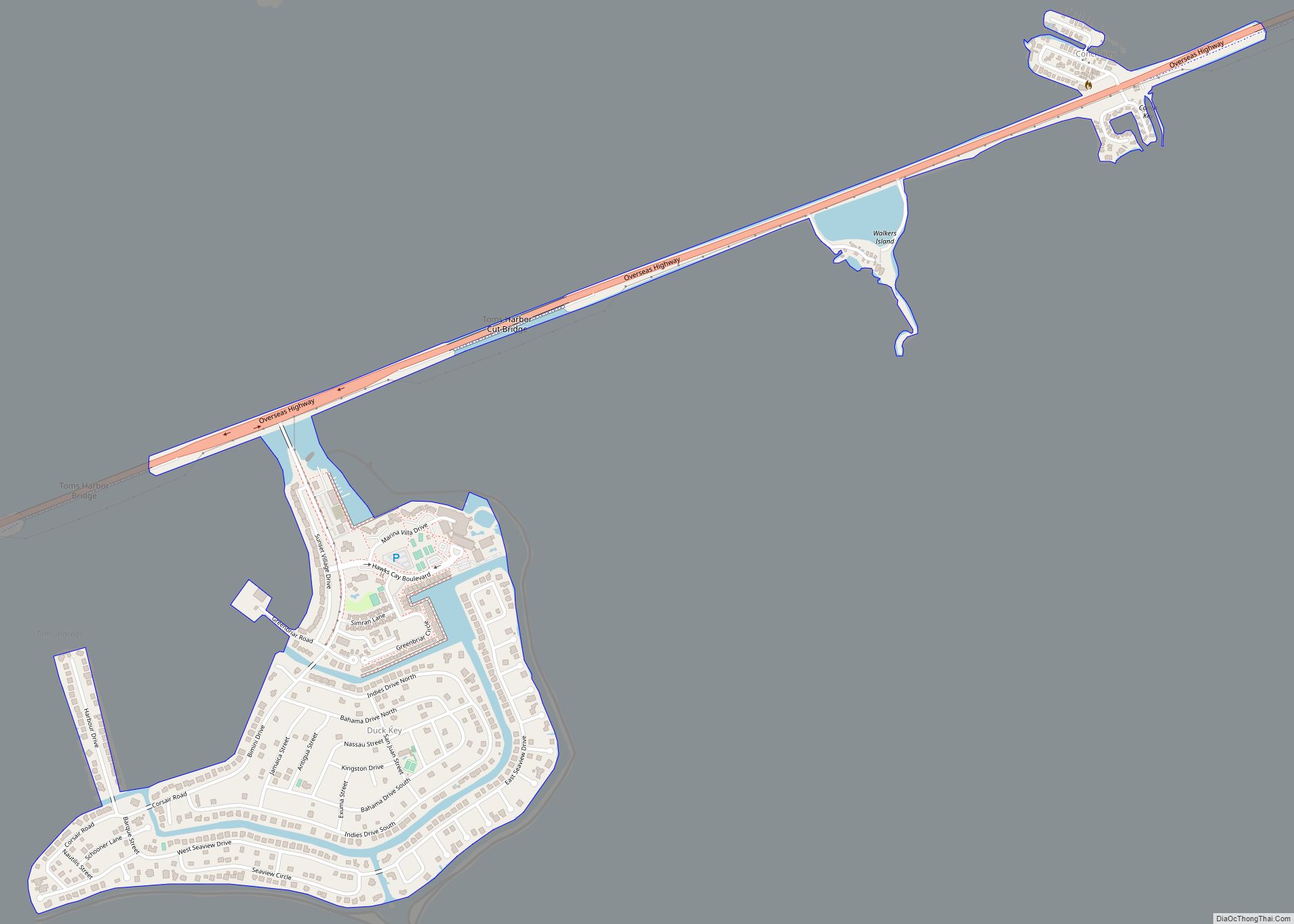
Duck Key is a census-designated place and unincorporated community in Monroe County, Florida, United States, on an island of the same name in the middle Florida Keys. The CDP also includes the neighboring island of Conch Key. As of the 2020 census, the CDP had a population of 727, up from 621 in 2010.
| Name: | Duck Key CDP |
|---|---|
| LSAD Code: | 57 |
| LSAD Description: | CDP (suffix) |
| State: | Florida |
| County: | Monroe County |
| Elevation: | 3 ft (1 m) |
| Total Area: | 0.63 sq mi (1.64 km²) |
| Land Area: | 0.60 sq mi (1.55 km²) |
| Water Area: | 0.03 sq mi (0.09 km²) |
| Total Population: | 727 |
| Population Density: | 1,213.69/sq mi (468.92/km²) |
| ZIP code: | 33050 |
| Area code: | 305 |
| FIPS code: | 1218425 |
| GNISfeature ID: | 1853245 |
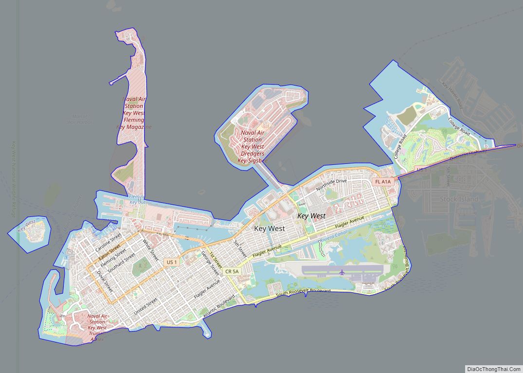
Online Interactive Map
Click on ![]() to view map in "full screen" mode.
to view map in "full screen" mode.
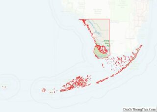
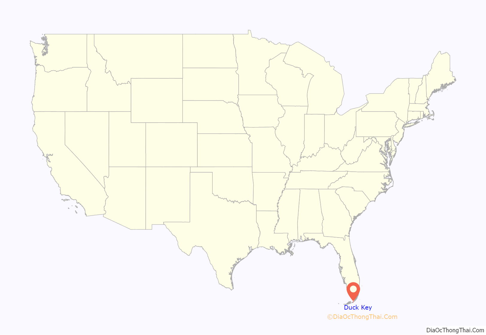
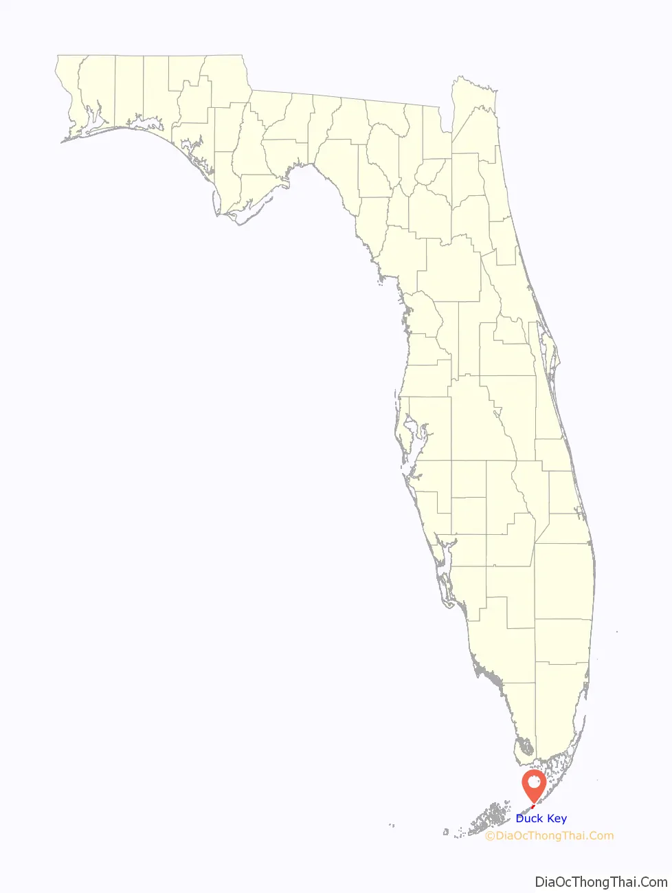
Duck Key location map. Where is Duck Key CDP?
History
Ownership of Newkirk’s Indies Inn changed in 1983 when the Pompano Beach Barrington Group purchased the holdings and made extensive changes. The nine-hole par 3 course designed by Robert Trent Jones was removed to make room for a resort expansion approved in 1986. The resort name was changed to Hawk’s Cay Resort and Marina. Additional swimming pools and recreational facilities were added in the late 1990s.
The Singh Company of Key West, well known for the Truman Annex, entered the Upper Keys in the middle 1990s and began Hawk’s Cay Village. This added several hundred Caribbean-style cottages all with water views, porches and the traditional white picket fence.
There are presently 381 homes, multiple recreational facilities and complete convention facilities.
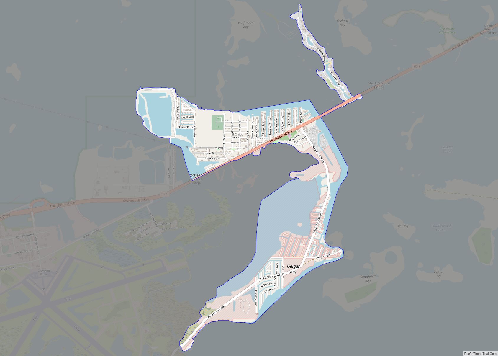
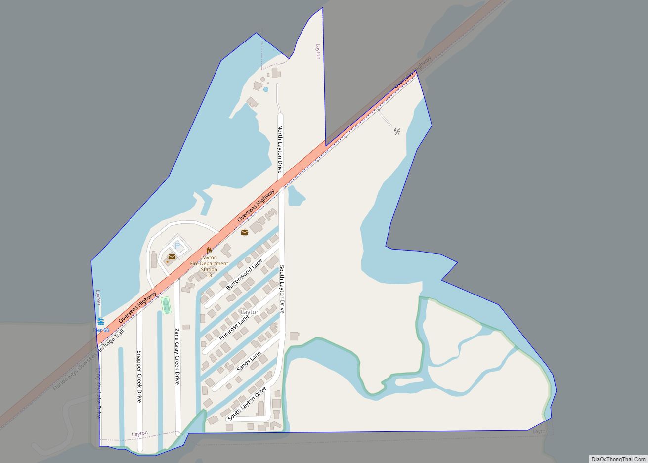
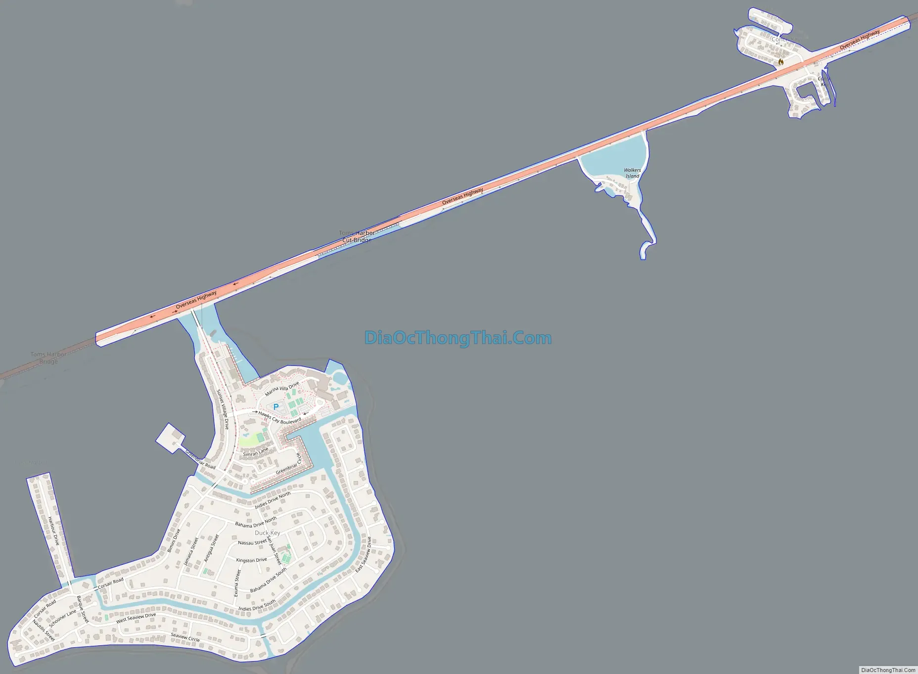
Duck Key Road Map
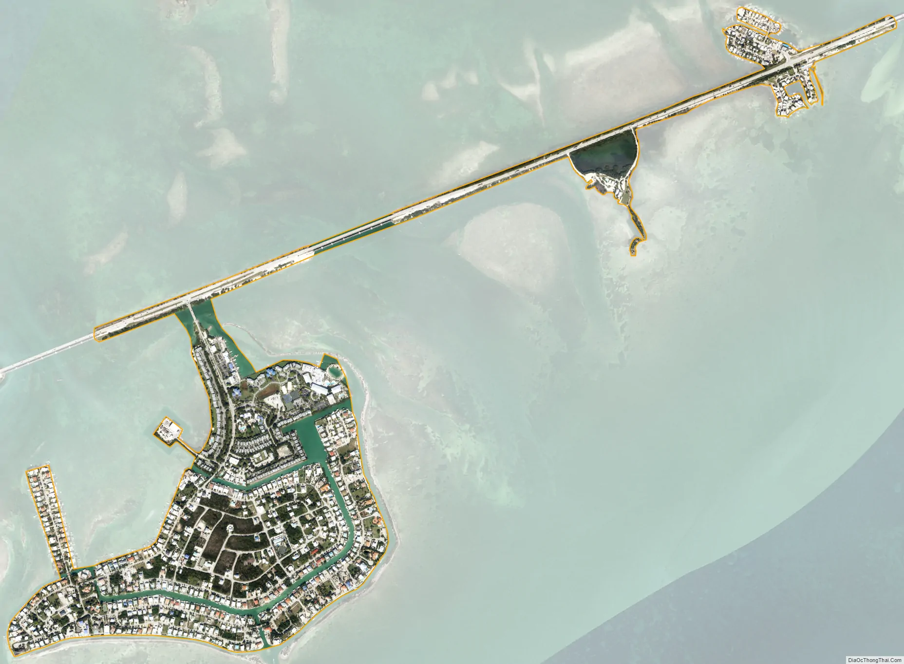
Duck Key city Satellite Map
Geography
Duck Key is located oceanside of U.S. 1 (the Overseas Highway), at approximately mile marker 61, between Conch and Grassy Keys. Marathon is 9 miles (14 km) to the southwest, and Islamorada is 22 miles (35 km) to the northeast.
According to the United States Census Bureau, the Duck Key CDP has a total area of 0.63 square miles (1.6 km), of which 0.03 square miles (0.078 km), or 5.37%, are water.
Climate
See also
Map of Florida State and its subdivision:- Alachua
- Baker
- Bay
- Bradford
- Brevard
- Broward
- Calhoun
- Charlotte
- Citrus
- Clay
- Collier
- Columbia
- Desoto
- Dixie
- Duval
- Escambia
- Flagler
- Franklin
- Gadsden
- Gilchrist
- Glades
- Gulf
- Hamilton
- Hardee
- Hendry
- Hernando
- Highlands
- Hillsborough
- Holmes
- Indian River
- Jackson
- Jefferson
- Lafayette
- Lake
- Lee
- Leon
- Levy
- Liberty
- Madison
- Manatee
- Marion
- Martin
- Miami-Dade
- Monroe
- Nassau
- Okaloosa
- Okeechobee
- Orange
- Osceola
- Palm Beach
- Pasco
- Pinellas
- Polk
- Putnam
- Saint Johns
- Saint Lucie
- Santa Rosa
- Sarasota
- Seminole
- Sumter
- Suwannee
- Taylor
- Union
- Volusia
- Wakulla
- Walton
- Washington
- Alabama
- Alaska
- Arizona
- Arkansas
- California
- Colorado
- Connecticut
- Delaware
- District of Columbia
- Florida
- Georgia
- Hawaii
- Idaho
- Illinois
- Indiana
- Iowa
- Kansas
- Kentucky
- Louisiana
- Maine
- Maryland
- Massachusetts
- Michigan
- Minnesota
- Mississippi
- Missouri
- Montana
- Nebraska
- Nevada
- New Hampshire
- New Jersey
- New Mexico
- New York
- North Carolina
- North Dakota
- Ohio
- Oklahoma
- Oregon
- Pennsylvania
- Rhode Island
- South Carolina
- South Dakota
- Tennessee
- Texas
- Utah
- Vermont
- Virginia
- Washington
- West Virginia
- Wisconsin
- Wyoming