Harold is an unincorporated community and census-designated place in Santa Rosa County, in the U.S. state of Florida. Its population was 823 as of the 2010 census. A satellite field for Training Air Wing FIVE at Naval Air Station Whiting Field called OLF Harold is located here.
| Name: | Harold CDP |
|---|---|
| LSAD Code: | 57 |
| LSAD Description: | CDP (suffix) |
| State: | Florida |
| County: | Santa Rosa County |
| Elevation: | 148 ft (45 m) |
| Total Area: | 14.729 sq mi (38.15 km²) |
| Land Area: | 14.689 sq mi (38.04 km²) |
| Water Area: | 0.040 sq mi (0.10 km²) |
| Total Population: | 823 |
| Population Density: | 56/sq mi (22/km²) |
| Area code: | 850 |
| FIPS code: | 1229000 |
| GNISfeature ID: | 287350 |
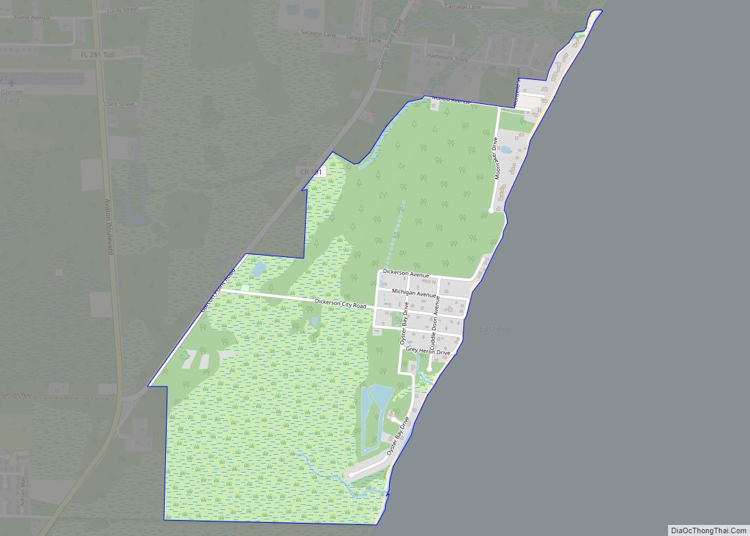
Online Interactive Map
Click on ![]() to view map in "full screen" mode.
to view map in "full screen" mode.
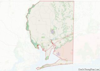
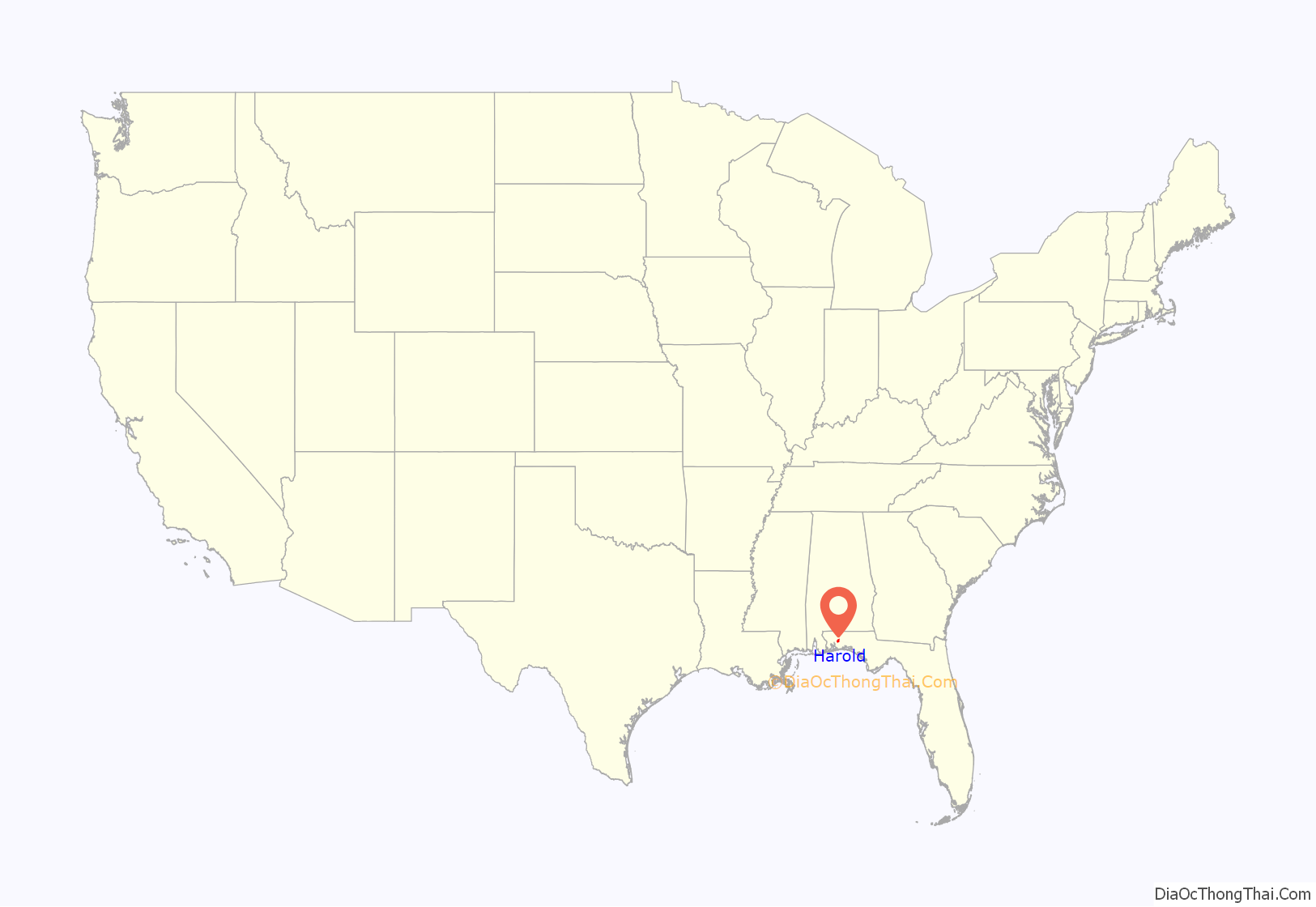
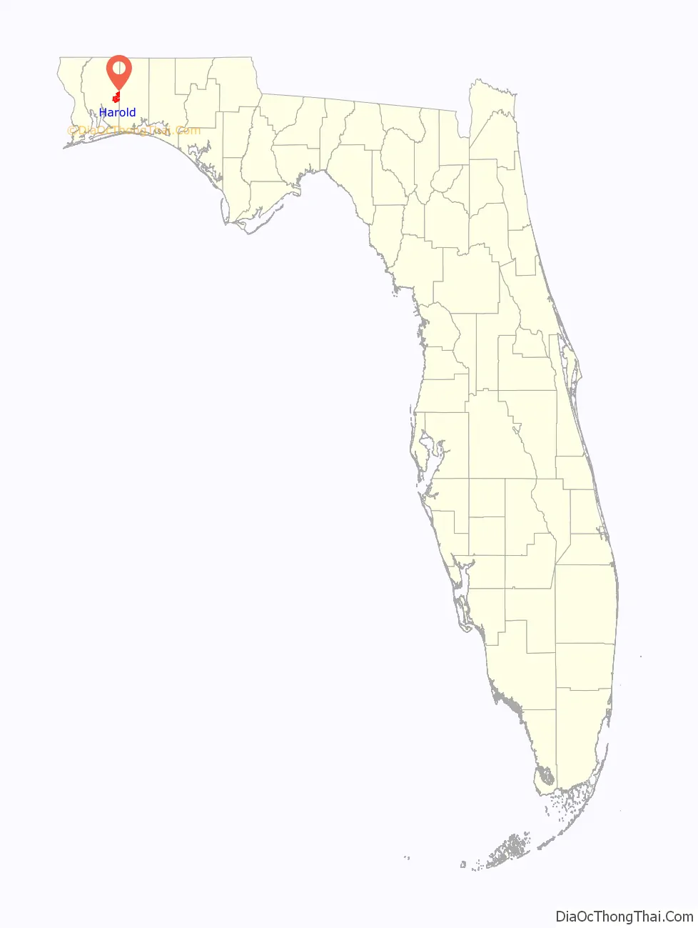
Harold location map. Where is Harold CDP?
History
A post office called Harold was established in 1909, and remained in operation until 1995. An early postmaster gave the community the name of his son.
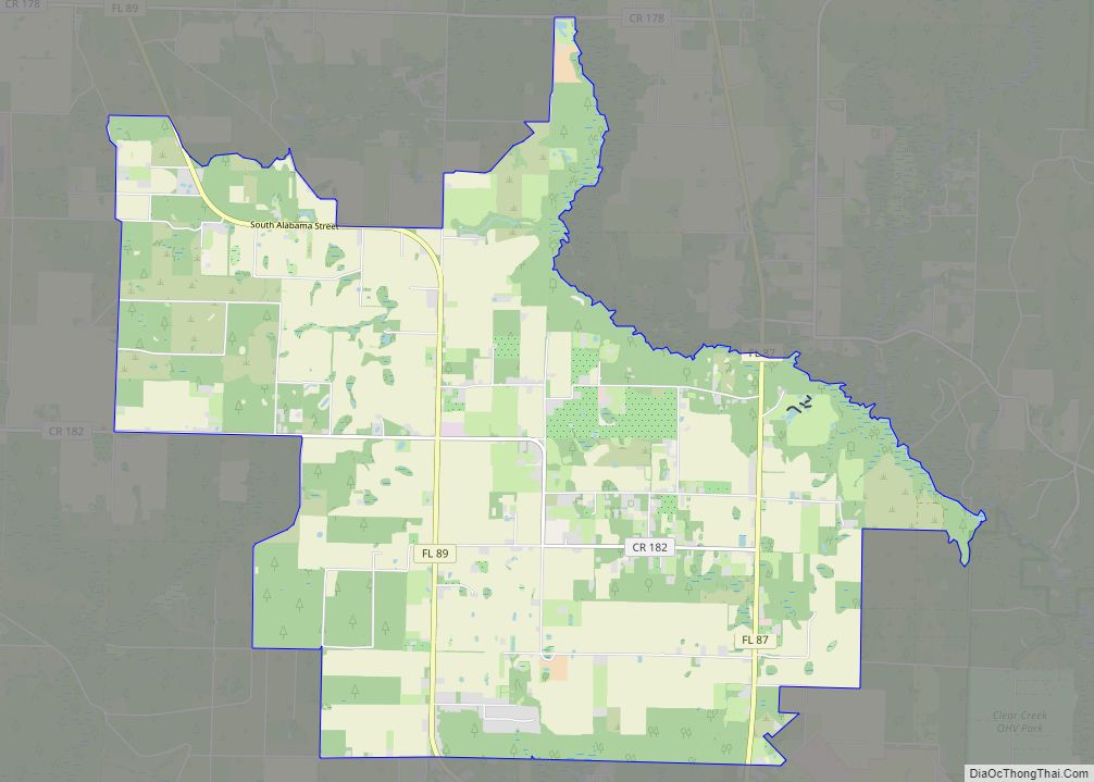
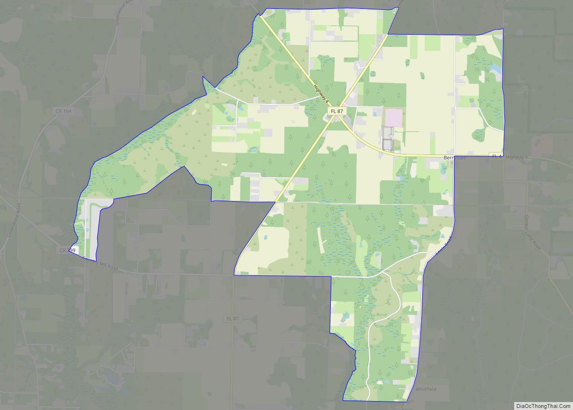
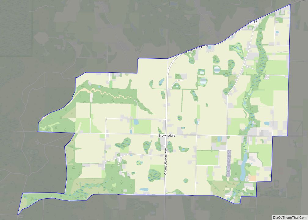
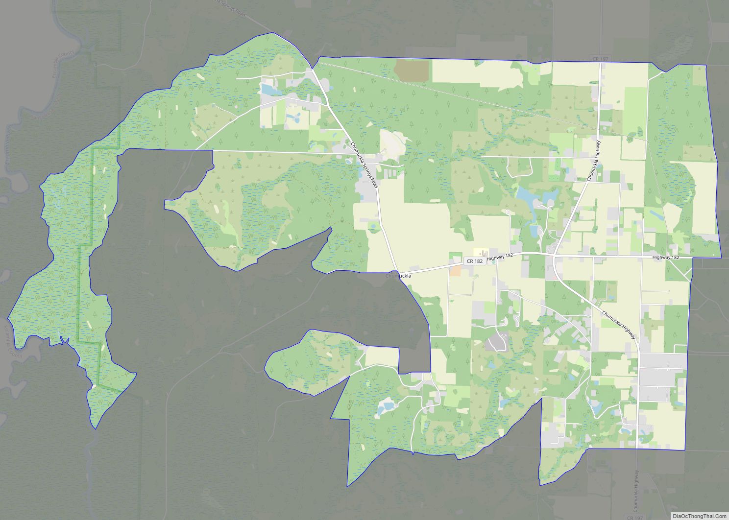
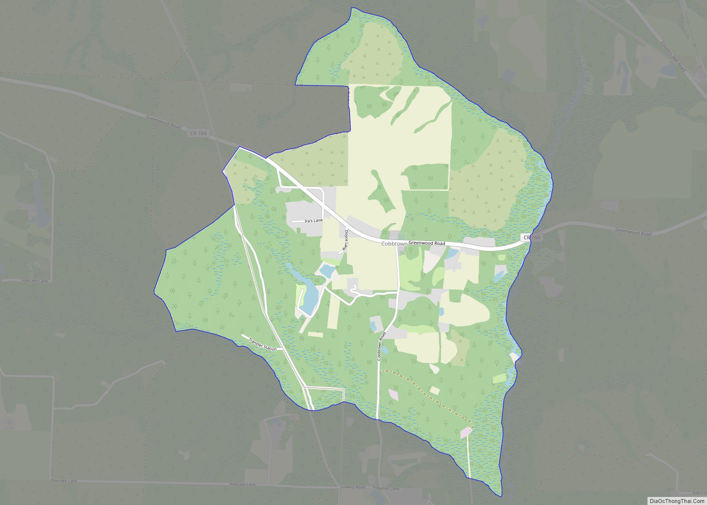
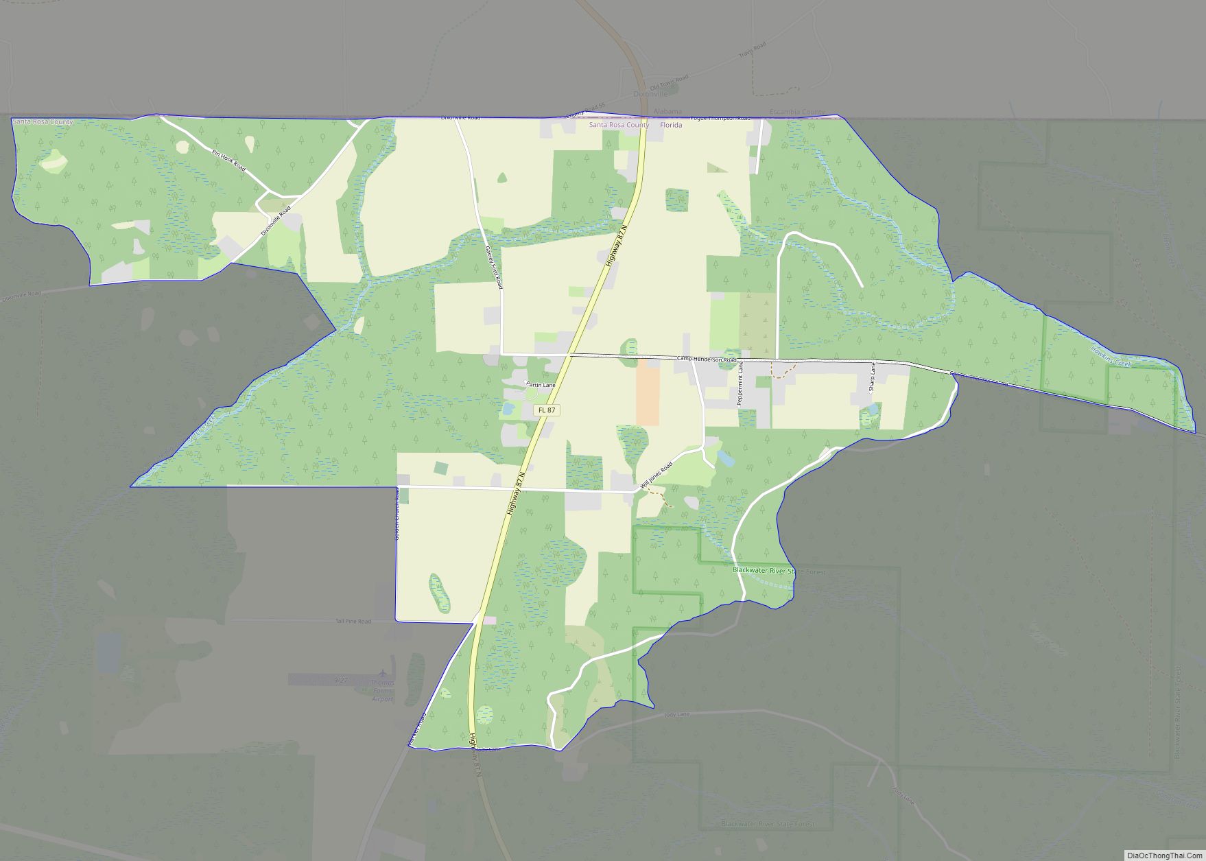
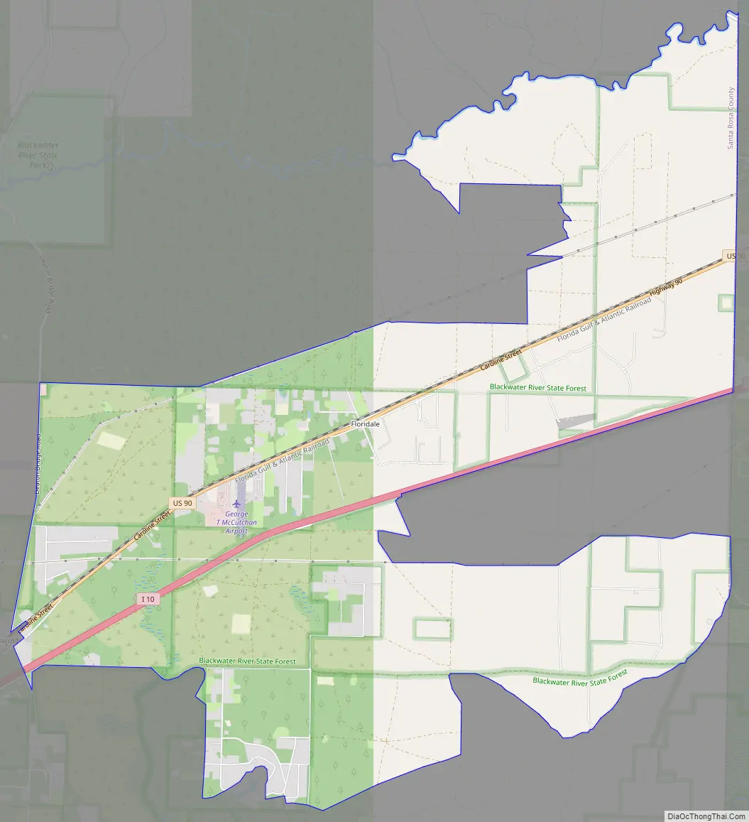
Harold Road Map
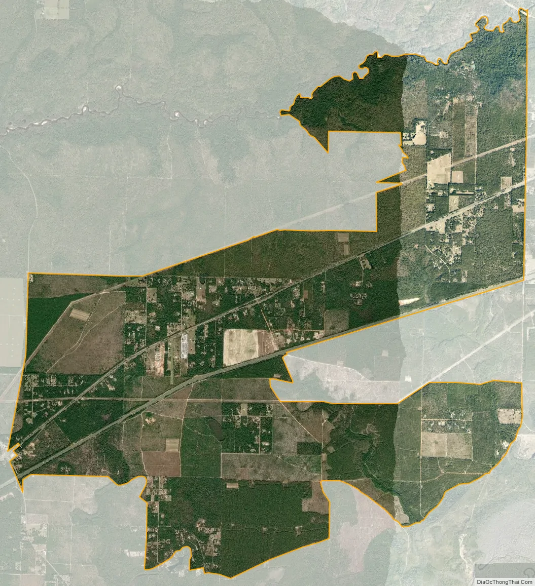
Harold city Satellite Map
See also
Map of Florida State and its subdivision:- Alachua
- Baker
- Bay
- Bradford
- Brevard
- Broward
- Calhoun
- Charlotte
- Citrus
- Clay
- Collier
- Columbia
- Desoto
- Dixie
- Duval
- Escambia
- Flagler
- Franklin
- Gadsden
- Gilchrist
- Glades
- Gulf
- Hamilton
- Hardee
- Hendry
- Hernando
- Highlands
- Hillsborough
- Holmes
- Indian River
- Jackson
- Jefferson
- Lafayette
- Lake
- Lee
- Leon
- Levy
- Liberty
- Madison
- Manatee
- Marion
- Martin
- Miami-Dade
- Monroe
- Nassau
- Okaloosa
- Okeechobee
- Orange
- Osceola
- Palm Beach
- Pasco
- Pinellas
- Polk
- Putnam
- Saint Johns
- Saint Lucie
- Santa Rosa
- Sarasota
- Seminole
- Sumter
- Suwannee
- Taylor
- Union
- Volusia
- Wakulla
- Walton
- Washington
- Alabama
- Alaska
- Arizona
- Arkansas
- California
- Colorado
- Connecticut
- Delaware
- District of Columbia
- Florida
- Georgia
- Hawaii
- Idaho
- Illinois
- Indiana
- Iowa
- Kansas
- Kentucky
- Louisiana
- Maine
- Maryland
- Massachusetts
- Michigan
- Minnesota
- Mississippi
- Missouri
- Montana
- Nebraska
- Nevada
- New Hampshire
- New Jersey
- New Mexico
- New York
- North Carolina
- North Dakota
- Ohio
- Oklahoma
- Oregon
- Pennsylvania
- Rhode Island
- South Carolina
- South Dakota
- Tennessee
- Texas
- Utah
- Vermont
- Virginia
- Washington
- West Virginia
- Wisconsin
- Wyoming