Lee is a town in Madison County, Florida, United States. The population was 375 at the 2020 census.
| Name: | Lee town |
|---|---|
| LSAD Code: | 43 |
| LSAD Description: | town (suffix) |
| State: | Florida |
| County: | Madison County |
| Elevation: | 92 ft (28 m) |
| Total Area: | 2.44 sq mi (6.31 km²) |
| Land Area: | 2.44 sq mi (6.31 km²) |
| Water Area: | 0.00 sq mi (0.00 km²) |
| Total Population: | 375 |
| Population Density: | 153.94/sq mi (59.44/km²) |
| ZIP code: | 32059 |
| Area code: | 850 |
| FIPS code: | 1239850 |
| GNISfeature ID: | 0285424 |
| Website: | www.leeflorida.org |
Online Interactive Map
Click on ![]() to view map in "full screen" mode.
to view map in "full screen" mode.
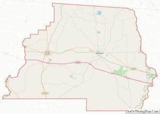
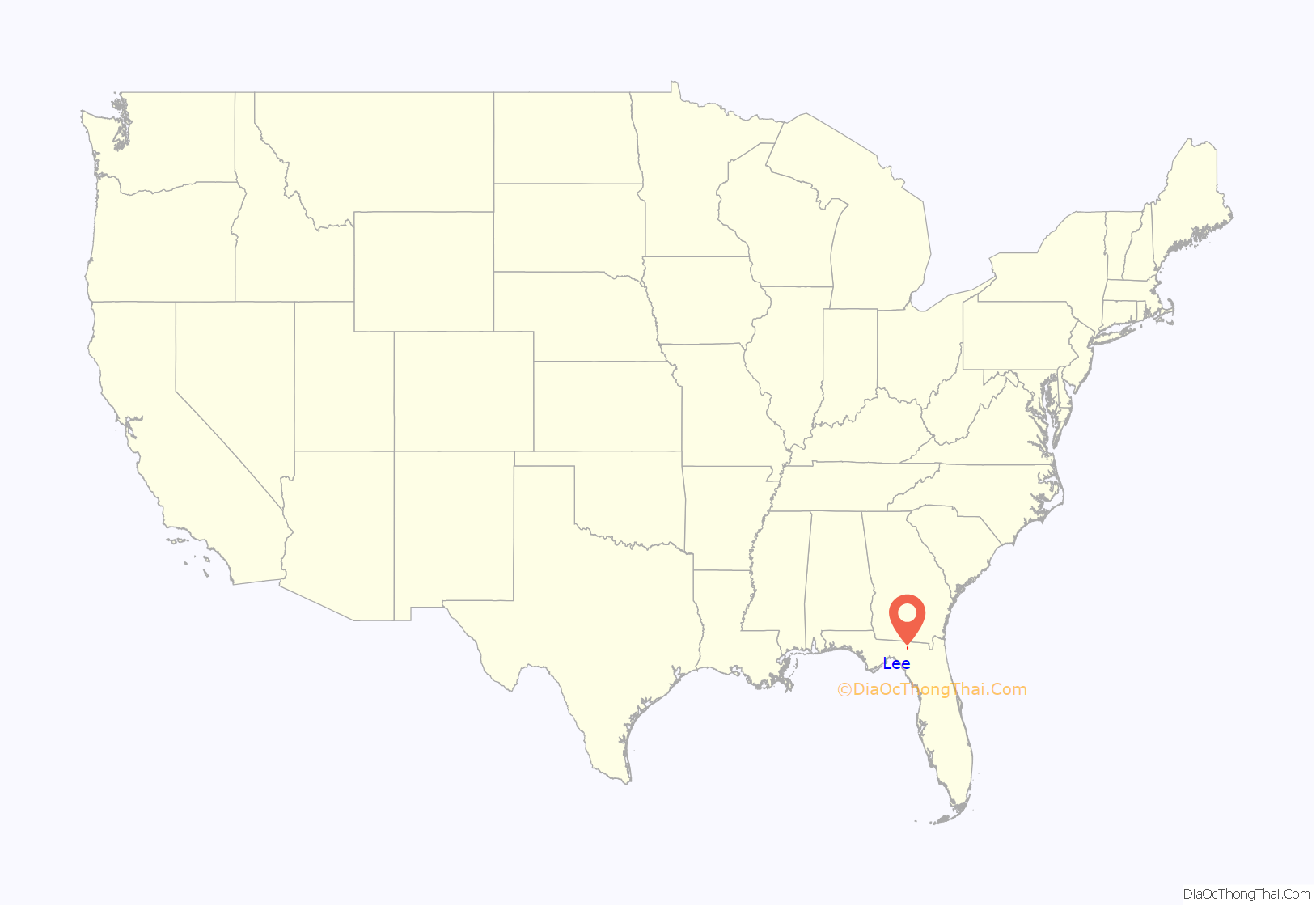
Lee location map. Where is Lee town?
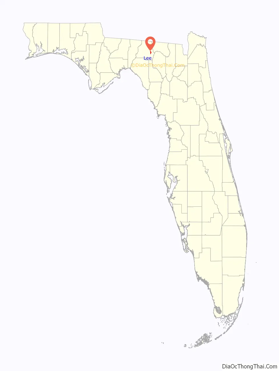
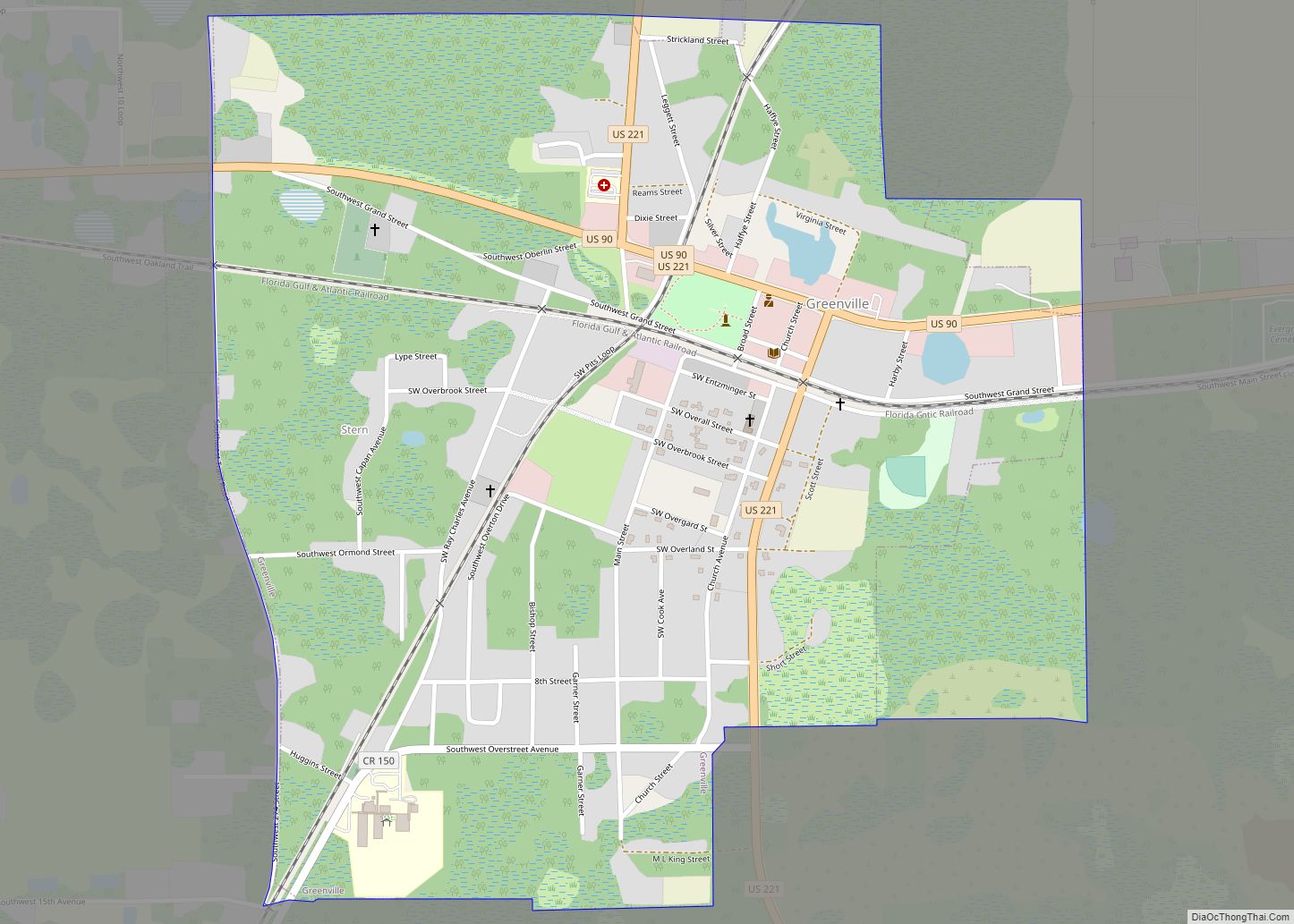
Lee Road Map
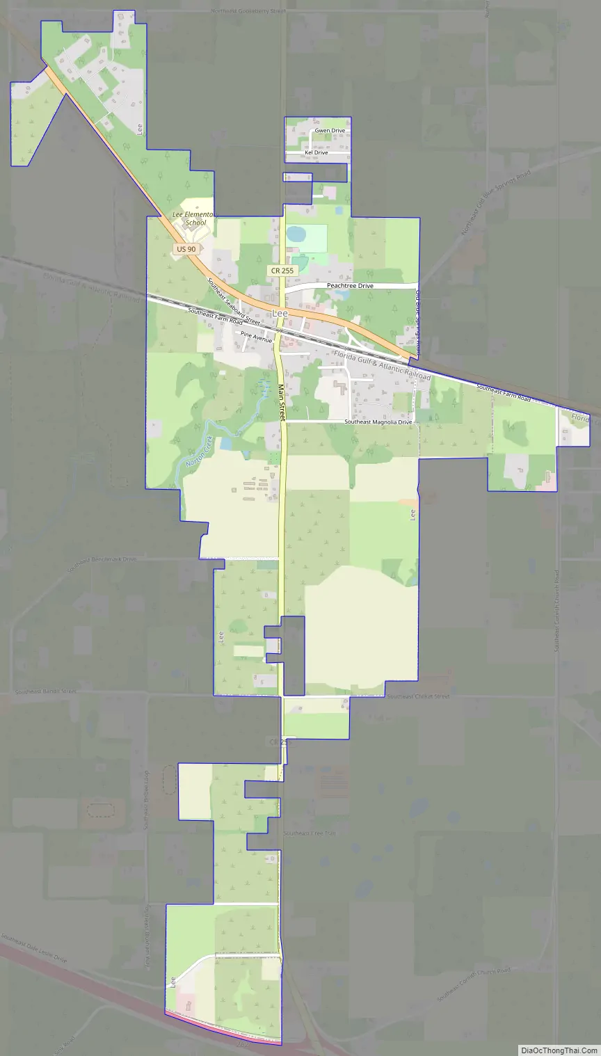
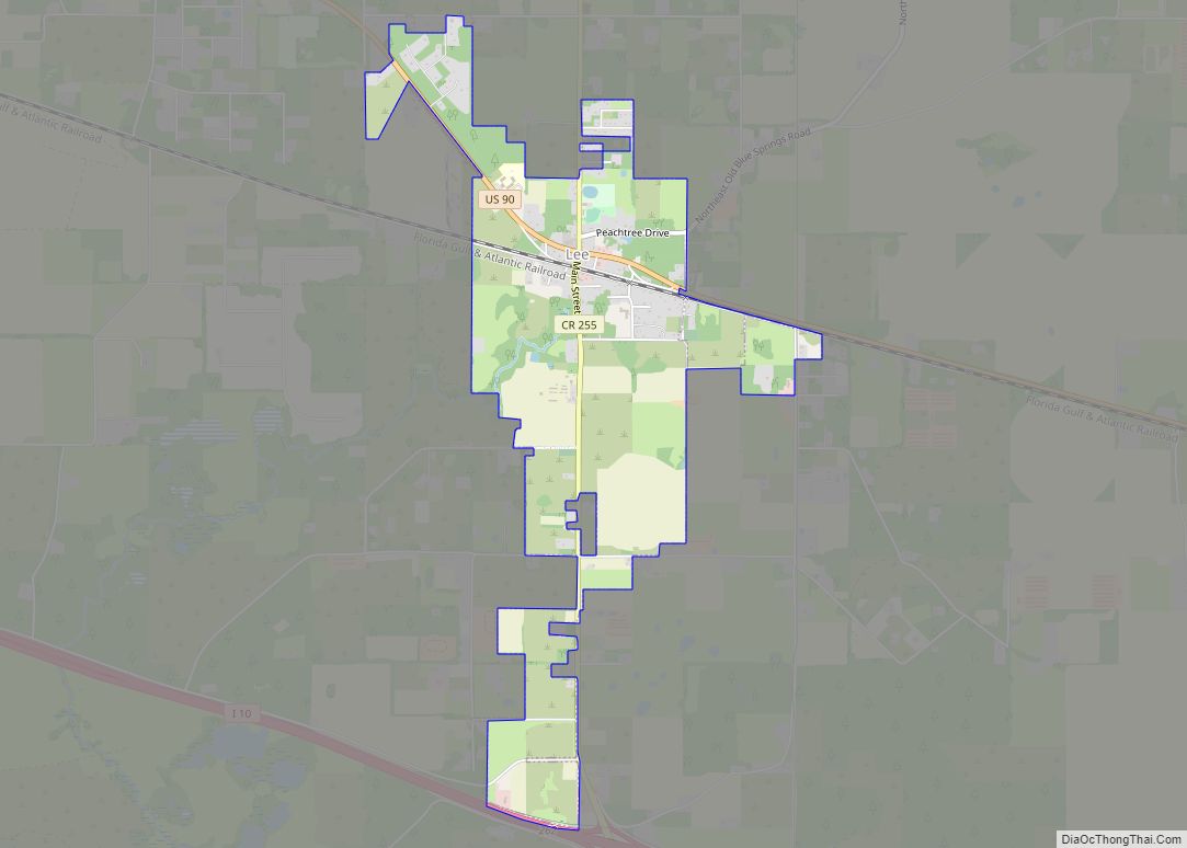
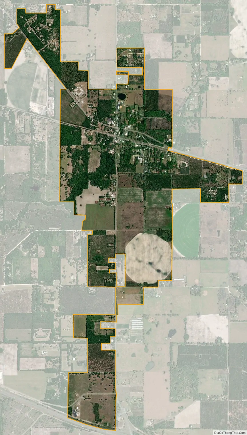
Lee city Satellite Map
Geography
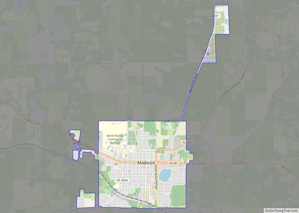
Lee is located in eastern Madison County at 30°25′10″N 83°17′59″W / 30.419355°N 83.299631°W / 30.419355; -83.299631. U.S. Route 90 passes through the north side of the town, leading northwest 8 miles (13 km) to Madison, the county seat, and southeast 21 miles (34 km) to Live Oak. Interstate 10 passes 3 miles (5 km) south of the town center, with access from Exit 262 (County Road 255).
According to the United States Census Bureau, the town has a total area of 2.4 square miles (6.2 km), all land.
See also
Map of Florida State and its subdivision:- Alachua
- Baker
- Bay
- Bradford
- Brevard
- Broward
- Calhoun
- Charlotte
- Citrus
- Clay
- Collier
- Columbia
- Desoto
- Dixie
- Duval
- Escambia
- Flagler
- Franklin
- Gadsden
- Gilchrist
- Glades
- Gulf
- Hamilton
- Hardee
- Hendry
- Hernando
- Highlands
- Hillsborough
- Holmes
- Indian River
- Jackson
- Jefferson
- Lafayette
- Lake
- Lee
- Leon
- Levy
- Liberty
- Madison
- Manatee
- Marion
- Martin
- Miami-Dade
- Monroe
- Nassau
- Okaloosa
- Okeechobee
- Orange
- Osceola
- Palm Beach
- Pasco
- Pinellas
- Polk
- Putnam
- Saint Johns
- Saint Lucie
- Santa Rosa
- Sarasota
- Seminole
- Sumter
- Suwannee
- Taylor
- Union
- Volusia
- Wakulla
- Walton
- Washington
- Alabama
- Alaska
- Arizona
- Arkansas
- California
- Colorado
- Connecticut
- Delaware
- District of Columbia
- Florida
- Georgia
- Hawaii
- Idaho
- Illinois
- Indiana
- Iowa
- Kansas
- Kentucky
- Louisiana
- Maine
- Maryland
- Massachusetts
- Michigan
- Minnesota
- Mississippi
- Missouri
- Montana
- Nebraska
- Nevada
- New Hampshire
- New Jersey
- New Mexico
- New York
- North Carolina
- North Dakota
- Ohio
- Oklahoma
- Oregon
- Pennsylvania
- Rhode Island
- South Carolina
- South Dakota
- Tennessee
- Texas
- Utah
- Vermont
- Virginia
- Washington
- West Virginia
- Wisconsin
- Wyoming