Maitland is a suburban city in Orange County, Florida, United States, part of the Greater Orlando area. The population was 19,543 at the 2020 census. The area’s history is exhibited at the Maitland Historical Museum; the city also hosts the Maitland Art Center, as well as notable examples of Mayan Revival architecture and Fantasy architecture, the Maitland Telephone Museum, and the William H. Waterhouse House Museum (all museums and the Maitland Art Center are now managed by Art & History Museums of Maitland). A SunRail station is located in Maitland on Highway 17-92. The city is named for Fort Maitland.
| Name: | Maitland city |
|---|---|
| LSAD Code: | 25 |
| LSAD Description: | city (suffix) |
| State: | Florida |
| County: | Orange County |
| Elevation: | 75 ft (23 m) |
| Total Area: | 6.48 sq mi (16.78 km²) |
| Land Area: | 5.36 sq mi (13.88 km²) |
| Water Area: | 1.12 sq mi (2.89 km²) |
| Total Population: | 19,543 |
| Population Density: | 3,646.08/sq mi (1,407.78/km²) |
| ZIP code: | 32751, 32794 |
| Area code: | 407, 689 |
| FIPS code: | 1242575 |
| GNISfeature ID: | 2405000 |
| Website: | www.itsmymaitland.org |
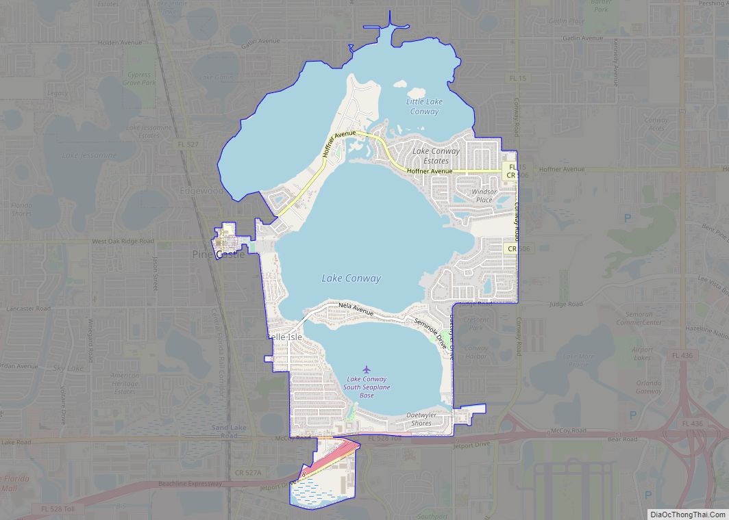
Online Interactive Map
Click on ![]() to view map in "full screen" mode.
to view map in "full screen" mode.
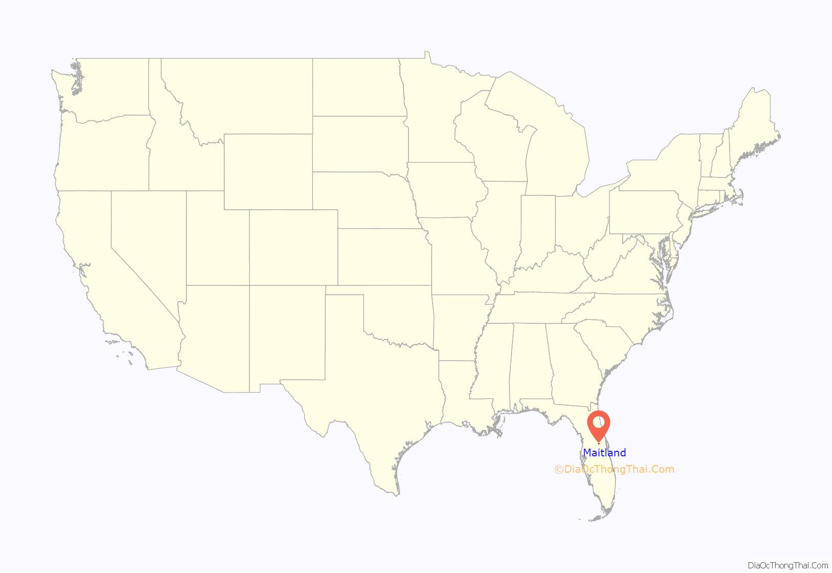
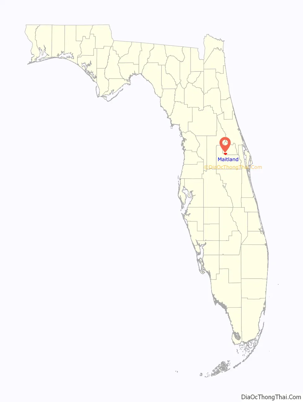
Maitland location map. Where is Maitland city?
History
Maitland is one of the oldest incorporated suburban municipalities in central Florida. The area was previously inhabited by Timucuan Native Americans. The town was originally named for a nearby Lake, which honored Captain William Seton Maitland, who fought in the Second Seminole Indian War, and was slain in the battle of Wahoo Swamp. A small military outpost was built in 1838 on the western shore of Lake Fumecheliga (later Lake Maitland) during the Second Seminole War. After the Civil War, new residents arrived in the area. Christopher Columbus Beasley, perhaps the first permanent settler, arrived at Lake Maitland in 1871. A post office opened on January 2 of the next year and operated in his home. Around this post office, a small town grew. In the closing decades of the nineteenth century the area was put into extensive citrus production.
Lake Maitland was incorporated as a town in 1885, the third such town in Orange County to do so. In its infancy, Lake Maitland was often characterized as a rural village, with streets lined with large oak trees planted by early town aldermen. However, the old town began to rapidly modernize as Orlando’s suburban sprawl reached the town in the mid 1920s.
During this period the town grew rapidly as new houses and roads were built. In 1959, Maitland was incorporated as a city.
Maitland is a suburb of Orlando. The town’s “historical corridor” encompasses old residences still standing and occupied in the Lake Lily-Lake Catherine area and extending through the central portion of the city. Examples of these century-old structures include the “Church of the Good Shepherd” (1883); the “William H. Waterhouse House” (1884); the Maitland Public Library (1907); and the “Maitland Art Center” (1937). The area has always been a vacation spot because of its climate, location to theme parks and people. Maitland has many picturesque parks along lakes, which attract many boaters.
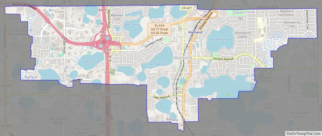
Maitland Road Map
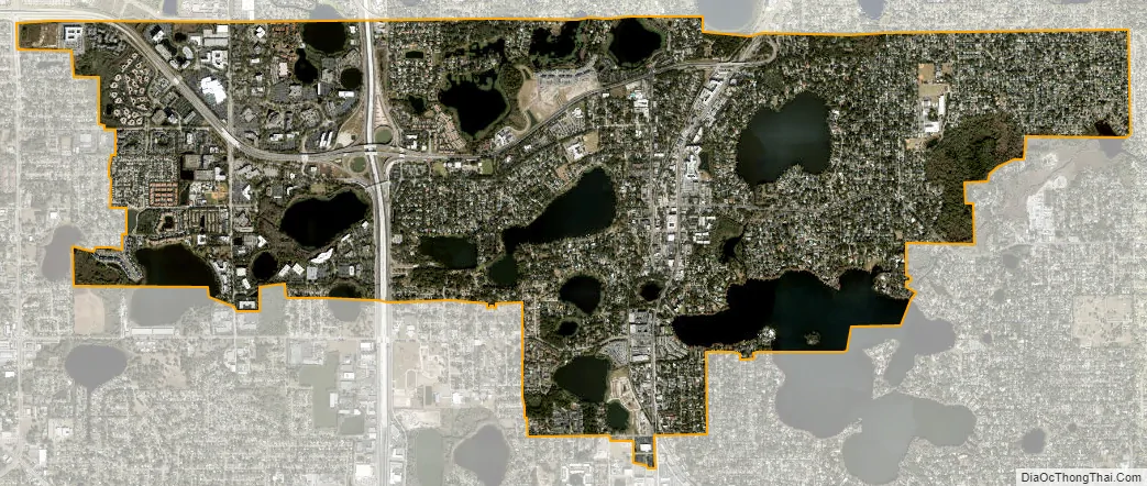
Maitland city Satellite Map
Geography
Maitland is located at 28°37′37″N 81°22′1″W / 28.62694°N 81.36694°W / 28.62694; -81.36694 (28.626926, −81.366961).
According to the United States Census Bureau, the city has a total area of 6.4 square miles (16.6 km), of which 5.3 square miles (13.6 km) is land and 1.2 square miles (3.0 km) (17.84%) is water. The city of Maitland has a total of 21 lakes, the largest being Lake Maitland (451 acres).
See also
Map of Florida State and its subdivision:- Alachua
- Baker
- Bay
- Bradford
- Brevard
- Broward
- Calhoun
- Charlotte
- Citrus
- Clay
- Collier
- Columbia
- Desoto
- Dixie
- Duval
- Escambia
- Flagler
- Franklin
- Gadsden
- Gilchrist
- Glades
- Gulf
- Hamilton
- Hardee
- Hendry
- Hernando
- Highlands
- Hillsborough
- Holmes
- Indian River
- Jackson
- Jefferson
- Lafayette
- Lake
- Lee
- Leon
- Levy
- Liberty
- Madison
- Manatee
- Marion
- Martin
- Miami-Dade
- Monroe
- Nassau
- Okaloosa
- Okeechobee
- Orange
- Osceola
- Palm Beach
- Pasco
- Pinellas
- Polk
- Putnam
- Saint Johns
- Saint Lucie
- Santa Rosa
- Sarasota
- Seminole
- Sumter
- Suwannee
- Taylor
- Union
- Volusia
- Wakulla
- Walton
- Washington
- Alabama
- Alaska
- Arizona
- Arkansas
- California
- Colorado
- Connecticut
- Delaware
- District of Columbia
- Florida
- Georgia
- Hawaii
- Idaho
- Illinois
- Indiana
- Iowa
- Kansas
- Kentucky
- Louisiana
- Maine
- Maryland
- Massachusetts
- Michigan
- Minnesota
- Mississippi
- Missouri
- Montana
- Nebraska
- Nevada
- New Hampshire
- New Jersey
- New Mexico
- New York
- North Carolina
- North Dakota
- Ohio
- Oklahoma
- Oregon
- Pennsylvania
- Rhode Island
- South Carolina
- South Dakota
- Tennessee
- Texas
- Utah
- Vermont
- Virginia
- Washington
- West Virginia
- Wisconsin
- Wyoming