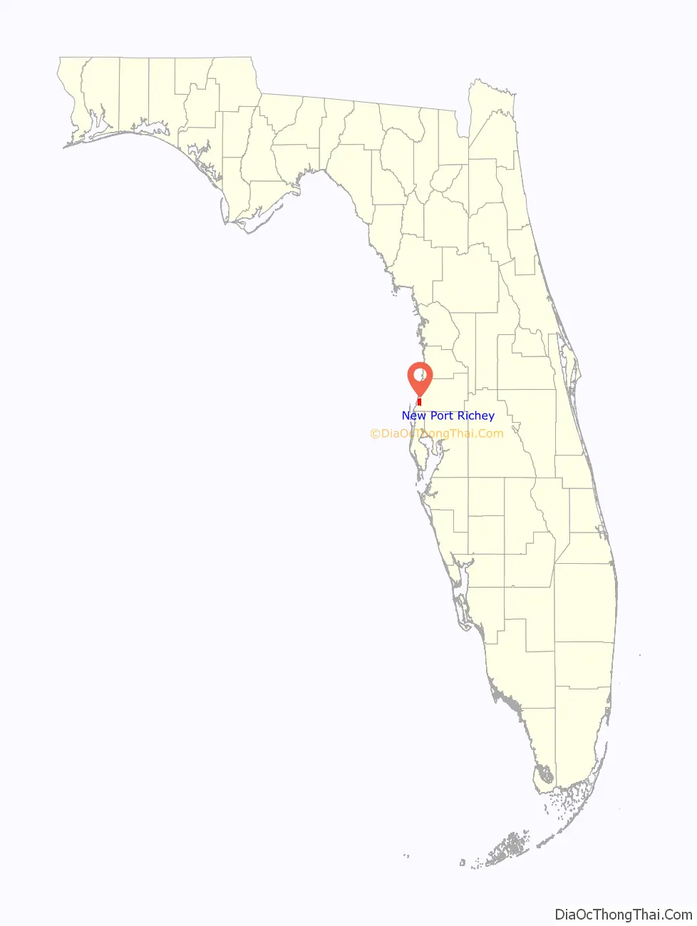
New Port Richey is a city in Pasco County, Florida, United States. It is a suburban city included in the Tampa-St. Petersburg-Clearwater, Florida Metropolitan Statistical Area. The population was counted at 16,728 in the 2020 census.
| Name: | New Port Richey city |
|---|---|
| LSAD Code: | 25 |
| LSAD Description: | city (suffix) |
| State: | Florida |
| County: | Pasco County |
| Elevation: | 16 ft (5 m) |
| Total Area: | 4.61 sq mi (11.93 km²) |
| Land Area: | 4.55 sq mi (11.80 km²) |
| Water Area: | 0.05 sq mi (0.13 km²) |
| Total Population: | 16,728 |
| Population Density: | 3,672.45/sq mi (1,417.82/km²) |
| ZIP code: | 34652-34656 |
| Area code: | 727 |
| FIPS code: | 1248500 |
| GNISfeature ID: | 0287669 |
Online Interactive Map
Click on ![]() to view map in "full screen" mode.
to view map in "full screen" mode.
New Port Richey location map. Where is New Port Richey city?
History
By 1914 the area around Orange Lake was being called “New Port Richey” and the older part of Port Richey was called “Old Port Richey.” In 1915 a separate post office was established for the residents of the southern part of Port Richey. The post office was named New Port Richey, and the name became official. The first postmaster was Gerben DeVries. The growth of the city came about after George Sims purchased the Port Richey Land Company. He built a home in New Port Richey in 1916.
The first Chasco Fiesta was held in 1922 to raise money for the local library. The event was revived in 1947 and has been held annually since then. It includes a large street parade and a boat parade on successive Saturdays.
In 1924 New Port Richey was incorporated. The first mayor was Dr. Elroy M. Avery, an educator, historian, and prolific author who came to New Port Richey from Cleveland after he retired in 1919.
The first act of the city council was to accept Enchantment Park as a gift from George Sims. The park was renamed Sims Park. The main attractions of the city were the park, the Pithlachascotee River, and Orange Lake.
In the mid-1920s the city hoped to become a winter home for Hollywood stars. In fact, Thomas Meighan, a leading actor in silent movies, built a large home on the river in 1928 and spent the winters there. He hoped to make movies in New Port Richey. Gene Sarazen, one of the top golfers in the 1920s, also built a home in New Port Richey. He invented the modern sand wedge in a garage in New Port Richey. Other Hollywood figures such as Ed Wynn visited New Port Richey. Songwriter Irving Berlin and bandleader Paul Whiteman made down payments on property, but did not build homes. In 1926, a new theater named for Thomas Meighan opened, and in 1927, the Hacienda Hotel, a 55-room Spanish-style luxury hotel, was completed. Moon Lake Gardens and Dude Ranch, which featured a private game preserve of 7,000 acres, opened in the 1930s.
The end of the 1920s Florida land boom ended the aspirations of New Port Richey to become a haven for Hollywood celebrities, and the Great Depression had a devastating effect on the town. By 1938 the town had lost its Tarpon Springs Branch passenger train connection to the Seaboard Air Line Railway network, a significant loss in the era before Interstates and jet airplanes.
Beginning in the late 1960s, western Pasco County began a decades-long period of rapid population growth, although the population of New Port Richey has not increased much because of the small area which makes up the city. Most of the population of western Pasco County is in unincorporated areas. Pasco-Hernando State College began offering classes in New Port Richey in 1972, and completed construction of a campus in 1976. Gulf View Square shopping mall opened in 1980. In 1995, New Port Richey became sister cities with Cavalaire-sur-Mer on the French Riviera. Cavalaire Square in downtown was named in honor of that relationship. In 2004 President George W. Bush, campaigning for re-election, spoke to supporters in Sims Park.
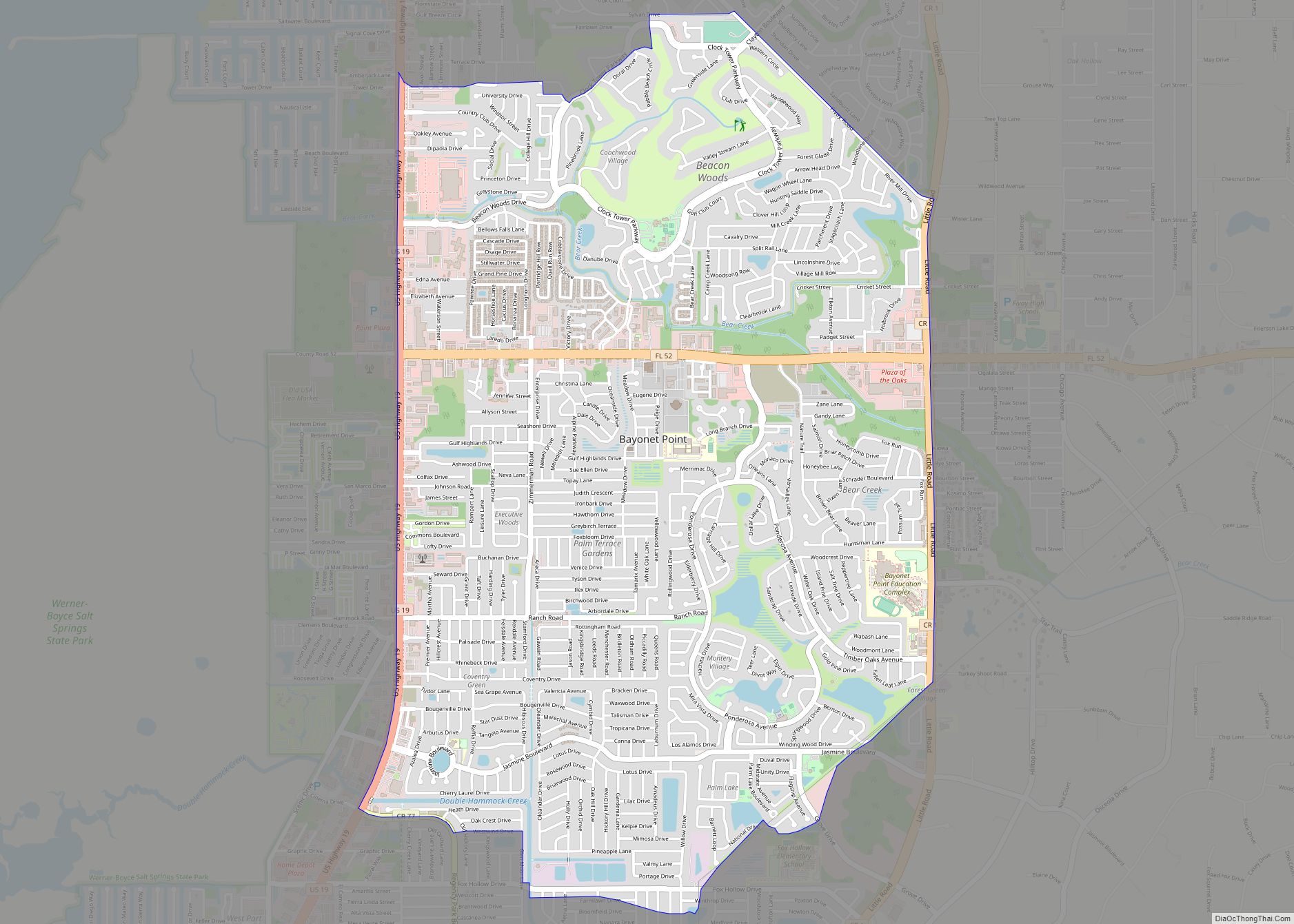
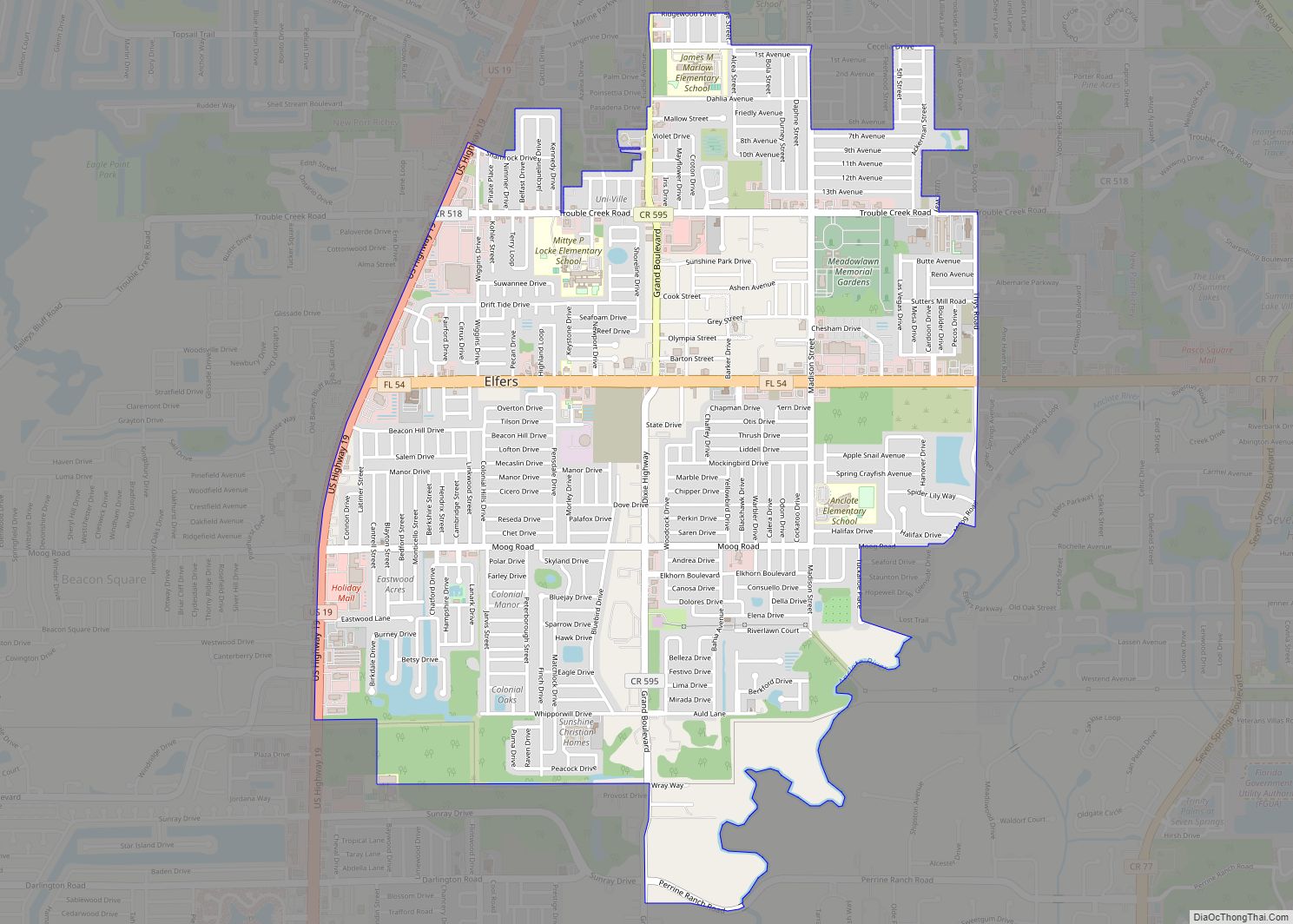
New Port Richey Road Map
New Port Richey city Satellite Map
Geography
New Port Richey is located at 28°14′56″N 82°43′04″W / 28.248918°N 82.717685°W / 28.248918; -82.717685.
According to the United States Census Bureau, the city has a total area of 4.6 square miles (12 km), of which 4.5 square miles (12 km) is land and 0.1 square miles (0.26 km) (1.53%) is water.
The Pithlachascotee River flows through the downtown area on its way to the Gulf of Mexico.
See also
Map of Florida State and its subdivision:- Alachua
- Baker
- Bay
- Bradford
- Brevard
- Broward
- Calhoun
- Charlotte
- Citrus
- Clay
- Collier
- Columbia
- Desoto
- Dixie
- Duval
- Escambia
- Flagler
- Franklin
- Gadsden
- Gilchrist
- Glades
- Gulf
- Hamilton
- Hardee
- Hendry
- Hernando
- Highlands
- Hillsborough
- Holmes
- Indian River
- Jackson
- Jefferson
- Lafayette
- Lake
- Lee
- Leon
- Levy
- Liberty
- Madison
- Manatee
- Marion
- Martin
- Miami-Dade
- Monroe
- Nassau
- Okaloosa
- Okeechobee
- Orange
- Osceola
- Palm Beach
- Pasco
- Pinellas
- Polk
- Putnam
- Saint Johns
- Saint Lucie
- Santa Rosa
- Sarasota
- Seminole
- Sumter
- Suwannee
- Taylor
- Union
- Volusia
- Wakulla
- Walton
- Washington
- Alabama
- Alaska
- Arizona
- Arkansas
- California
- Colorado
- Connecticut
- Delaware
- District of Columbia
- Florida
- Georgia
- Hawaii
- Idaho
- Illinois
- Indiana
- Iowa
- Kansas
- Kentucky
- Louisiana
- Maine
- Maryland
- Massachusetts
- Michigan
- Minnesota
- Mississippi
- Missouri
- Montana
- Nebraska
- Nevada
- New Hampshire
- New Jersey
- New Mexico
- New York
- North Carolina
- North Dakota
- Ohio
- Oklahoma
- Oregon
- Pennsylvania
- Rhode Island
- South Carolina
- South Dakota
- Tennessee
- Texas
- Utah
- Vermont
- Virginia
- Washington
- West Virginia
- Wisconsin
- Wyoming

