Odessa is a census-designated place (CDP) in Pasco County, Florida, United States. The population was 3,173 at the 2000 census and more than doubled to 7,267 in 2010. Northwest of Tampa, Odessa had been an area of open spaces, ranching, and horse properties. More recently it has seen many suburban property developments as Tampa’s population expands.
| Name: | Odessa CDP |
|---|---|
| LSAD Code: | 57 |
| LSAD Description: | CDP (suffix) |
| State: | Florida |
| County: | Pasco County |
| Elevation: | 56 ft (17 m) |
| Total Area: | 5.70 sq mi (14.75 km²) |
| Land Area: | 5.36 sq mi (13.89 km²) |
| Water Area: | 0.33 sq mi (0.86 km²) |
| Total Population: | 8,080 |
| Population Density: | 1,506.34/sq mi (581.58/km²) |
| FIPS code: | 1251100 |
| GNISfeature ID: | 0288053 |
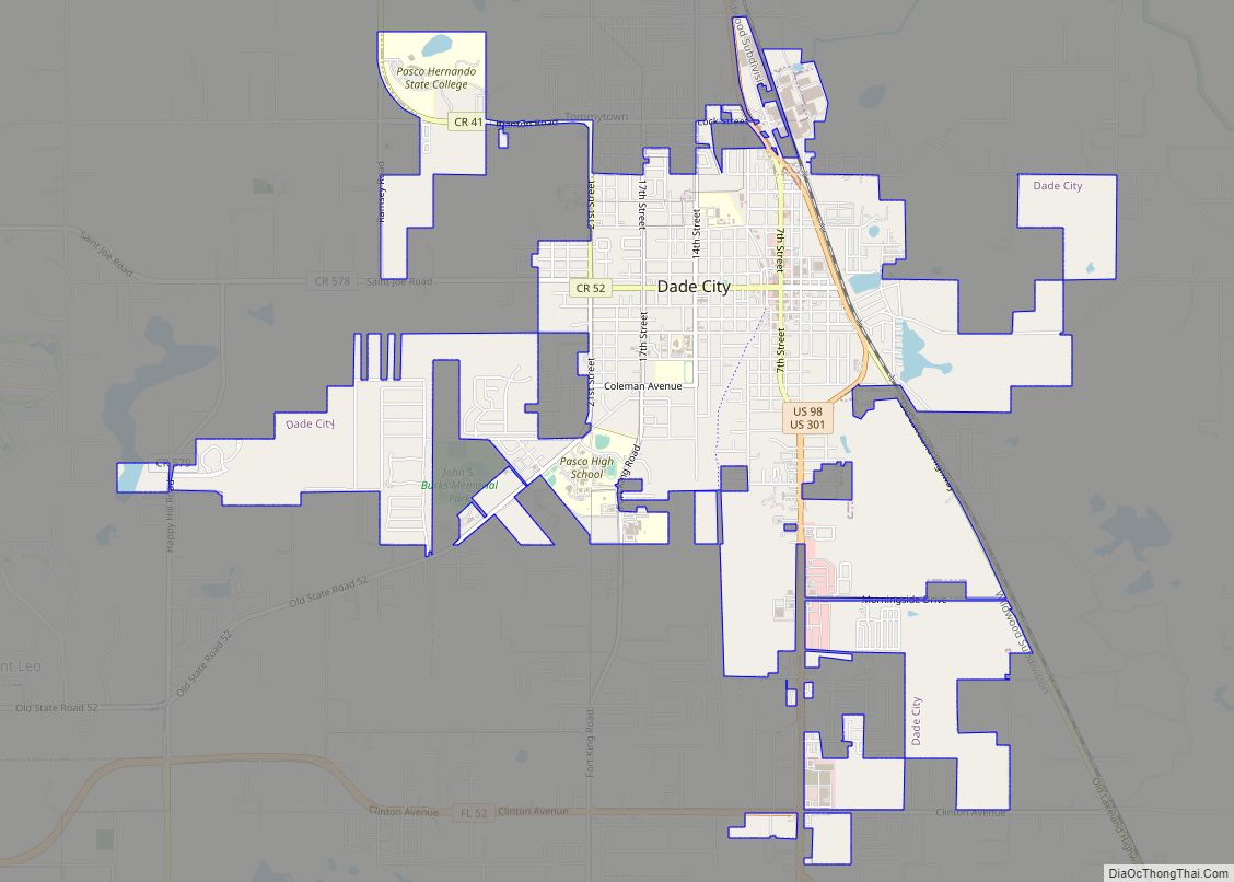
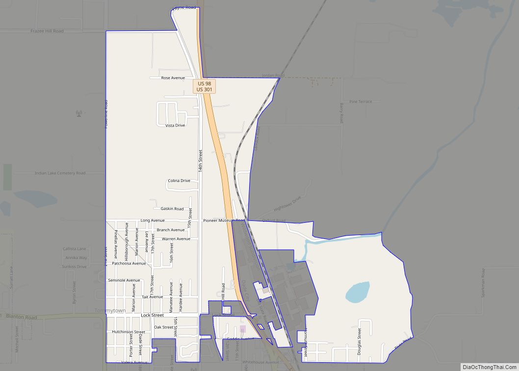
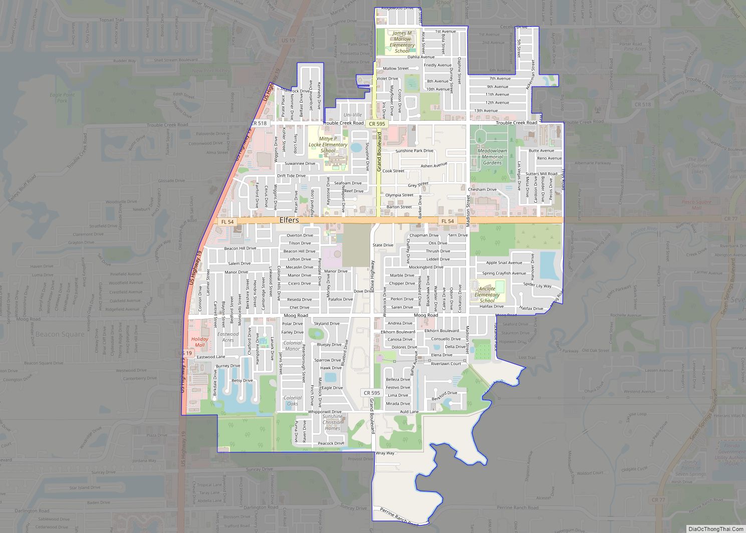
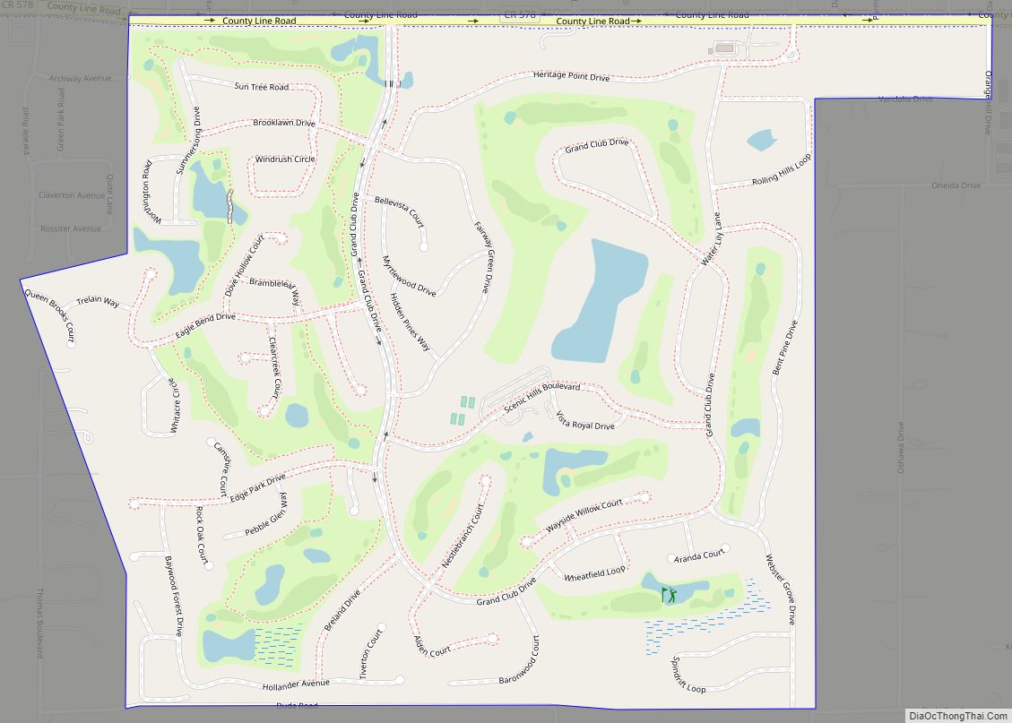
Online Interactive Map
Click on ![]() to view map in "full screen" mode.
to view map in "full screen" mode.
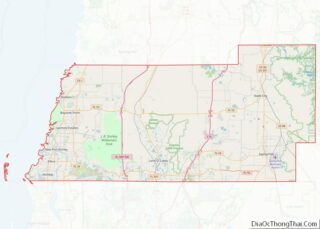
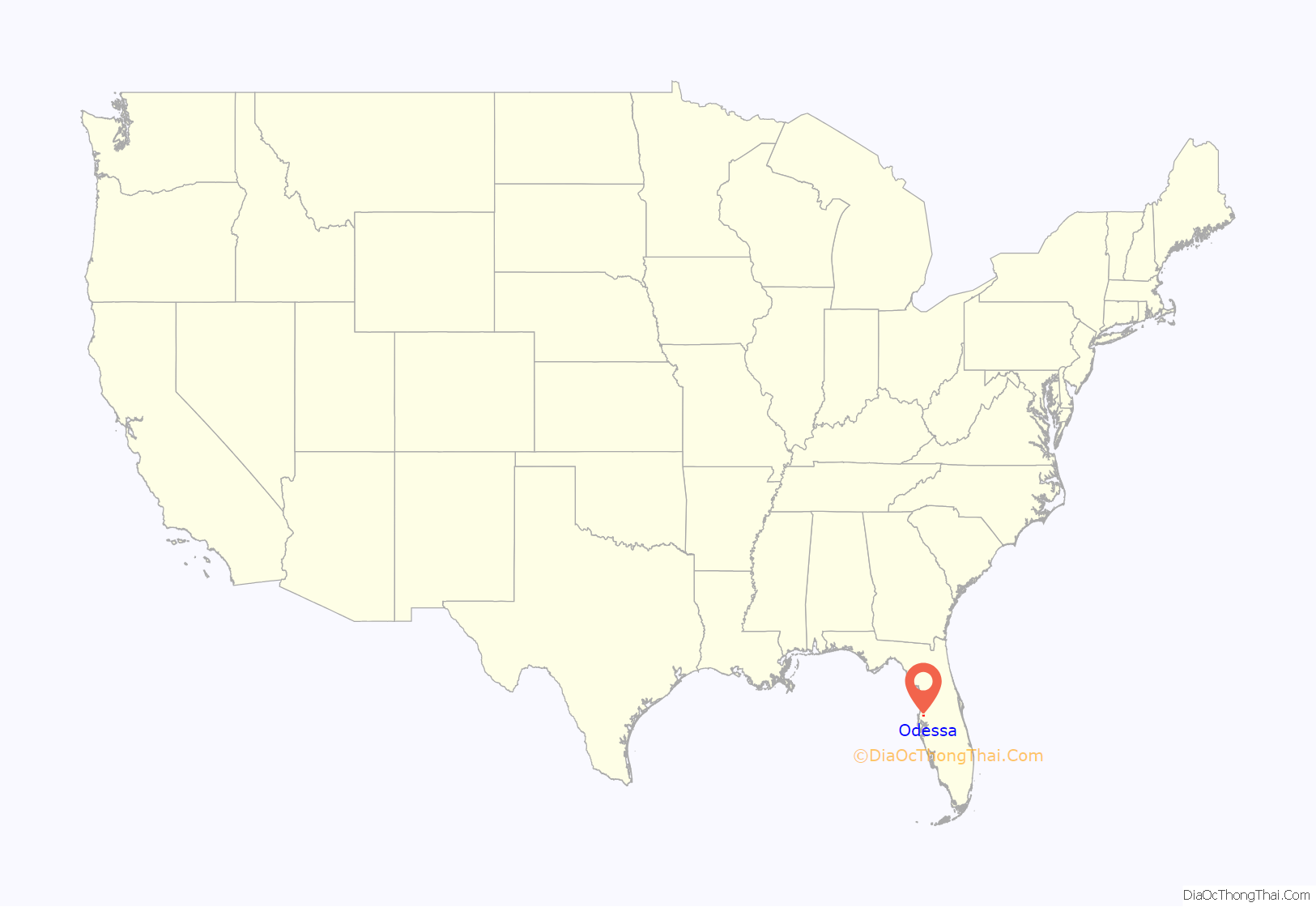
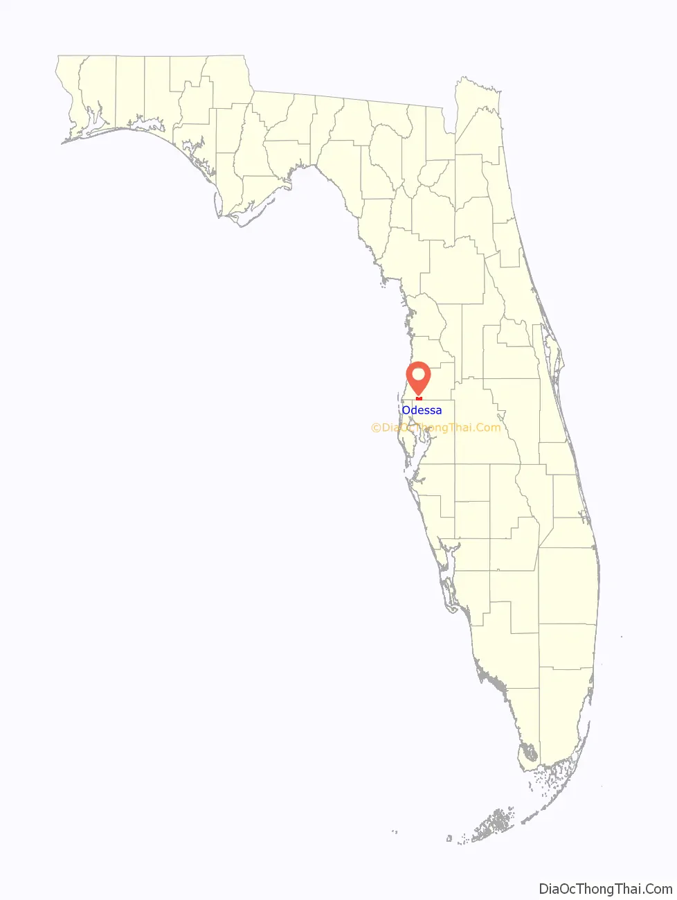
Odessa location map. Where is Odessa CDP?
History
The Odessa area was first settled in the middle 1800s by the W.M. Mobley Family who migrated from Savannah, Georgia. Odessa was named in the 1880s by Peter Demens, a Russian immigrant who developed the community through the Orange Belt Railway. Later, the railroad came through, running parallel with S.R. 54. Demens also founded St. Petersburg, Florida and named both communities after places he used to go to in his native country.
There was once a large sawmill in the area providing employment. This sawmill replaced some smaller ones and was burned in a fire in 1922.
The area is rapidly being developed as Tampa expands.
Odessa was home to Tampa Bay Executive Airport until 2004.
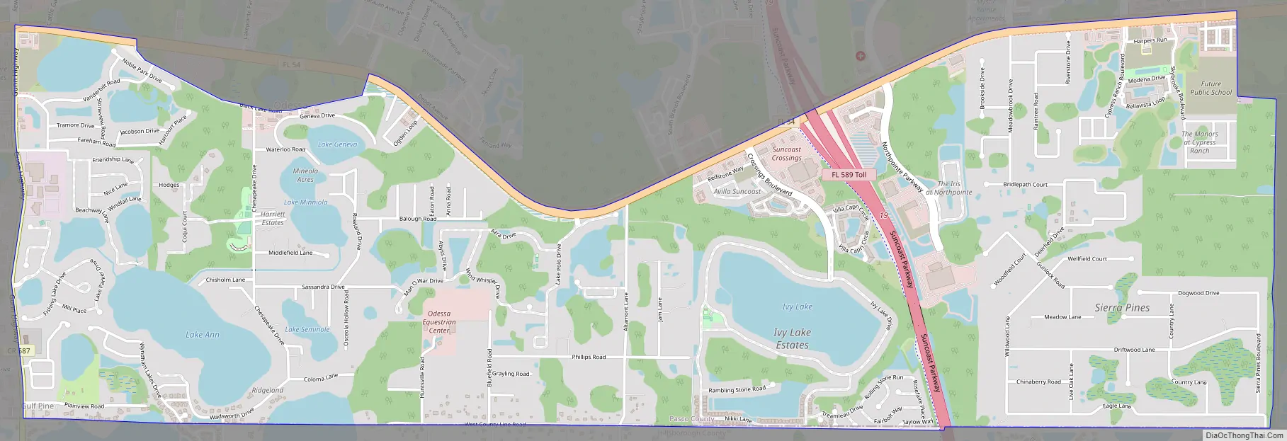
Odessa Road Map
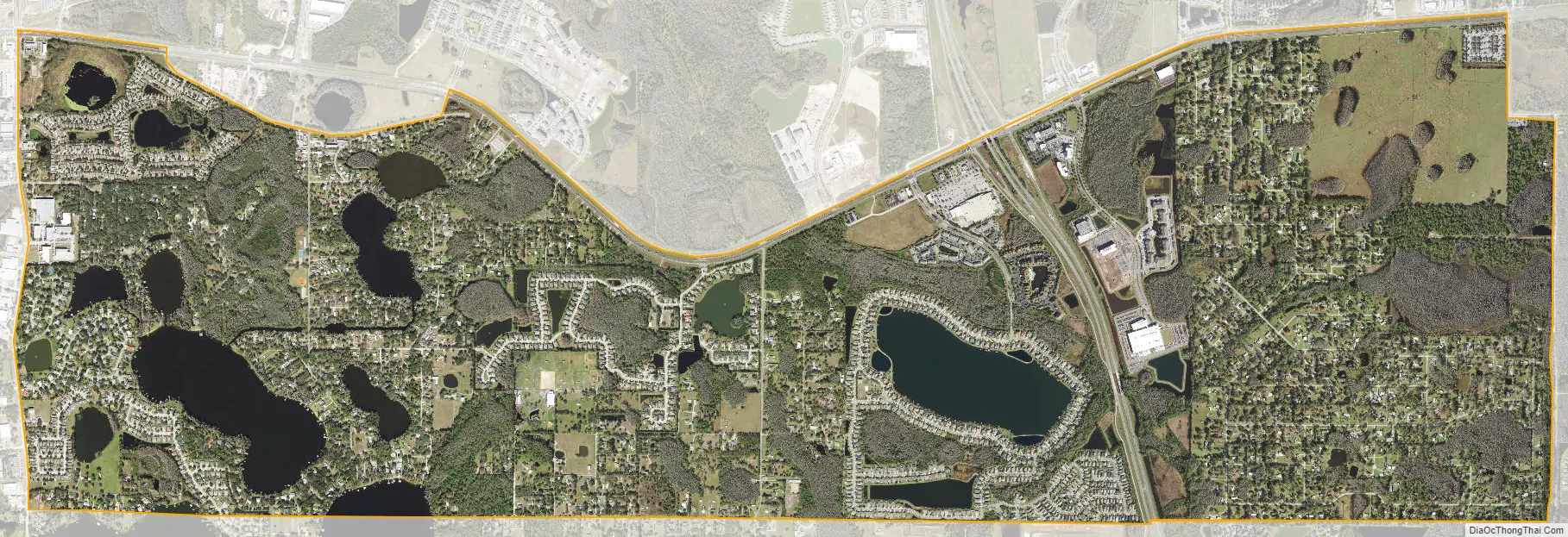
Odessa city Satellite Map
Geography
Odessa is located at 28°11′0″N 82°34′6″W / 28.18333°N 82.56833°W / 28.18333; -82.56833 (28.183446, -82.568456).
According to the United States Census Bureau, the Census Designated Place lies entirely in Pasco County, Florida, and has a total area of 5.6 square miles (15 km) of which 5.3 square miles (14 km) is land and 0.3 square miles (0.78 km) (6.04%) is water.
The USPS mailing area that uses the city of Odessa stretches into Hillsborough County and overlaps parts of Keystone, a separate CDP located entirely in Hillsborough County. This apparent overlap is due to USPS ZIP code designation only; the two CDPs do not actually overlap – no part of Odessa is truly in Hillsborough County.
See also
Map of Florida State and its subdivision:- Alachua
- Baker
- Bay
- Bradford
- Brevard
- Broward
- Calhoun
- Charlotte
- Citrus
- Clay
- Collier
- Columbia
- Desoto
- Dixie
- Duval
- Escambia
- Flagler
- Franklin
- Gadsden
- Gilchrist
- Glades
- Gulf
- Hamilton
- Hardee
- Hendry
- Hernando
- Highlands
- Hillsborough
- Holmes
- Indian River
- Jackson
- Jefferson
- Lafayette
- Lake
- Lee
- Leon
- Levy
- Liberty
- Madison
- Manatee
- Marion
- Martin
- Miami-Dade
- Monroe
- Nassau
- Okaloosa
- Okeechobee
- Orange
- Osceola
- Palm Beach
- Pasco
- Pinellas
- Polk
- Putnam
- Saint Johns
- Saint Lucie
- Santa Rosa
- Sarasota
- Seminole
- Sumter
- Suwannee
- Taylor
- Union
- Volusia
- Wakulla
- Walton
- Washington
- Alabama
- Alaska
- Arizona
- Arkansas
- California
- Colorado
- Connecticut
- Delaware
- District of Columbia
- Florida
- Georgia
- Hawaii
- Idaho
- Illinois
- Indiana
- Iowa
- Kansas
- Kentucky
- Louisiana
- Maine
- Maryland
- Massachusetts
- Michigan
- Minnesota
- Mississippi
- Missouri
- Montana
- Nebraska
- Nevada
- New Hampshire
- New Jersey
- New Mexico
- New York
- North Carolina
- North Dakota
- Ohio
- Oklahoma
- Oregon
- Pennsylvania
- Rhode Island
- South Carolina
- South Dakota
- Tennessee
- Texas
- Utah
- Vermont
- Virginia
- Washington
- West Virginia
- Wisconsin
- Wyoming