Otter Creek is a town in Levy County, Florida, United States. The population was 134 at the 2010 census.
| Name: | Otter Creek town |
|---|---|
| LSAD Code: | 43 |
| LSAD Description: | town (suffix) |
| State: | Florida |
| County: | Levy County |
| Elevation: | 26 ft (8 m) |
| Total Area: | 1.38 sq mi (3.57 km²) |
| Land Area: | 1.36 sq mi (3.52 km²) |
| Water Area: | 0.02 sq mi (0.05 km²) |
| Total Population: | 108 |
| Population Density: | 79.35/sq mi (30.64/km²) |
| ZIP code: | 32683 |
| Area code: | 352 |
| FIPS code: | 1253500 |
| GNISfeature ID: | 0288275 |
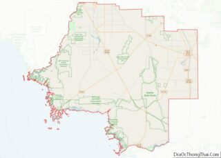
Online Interactive Map
Click on ![]() to view map in "full screen" mode.
to view map in "full screen" mode.
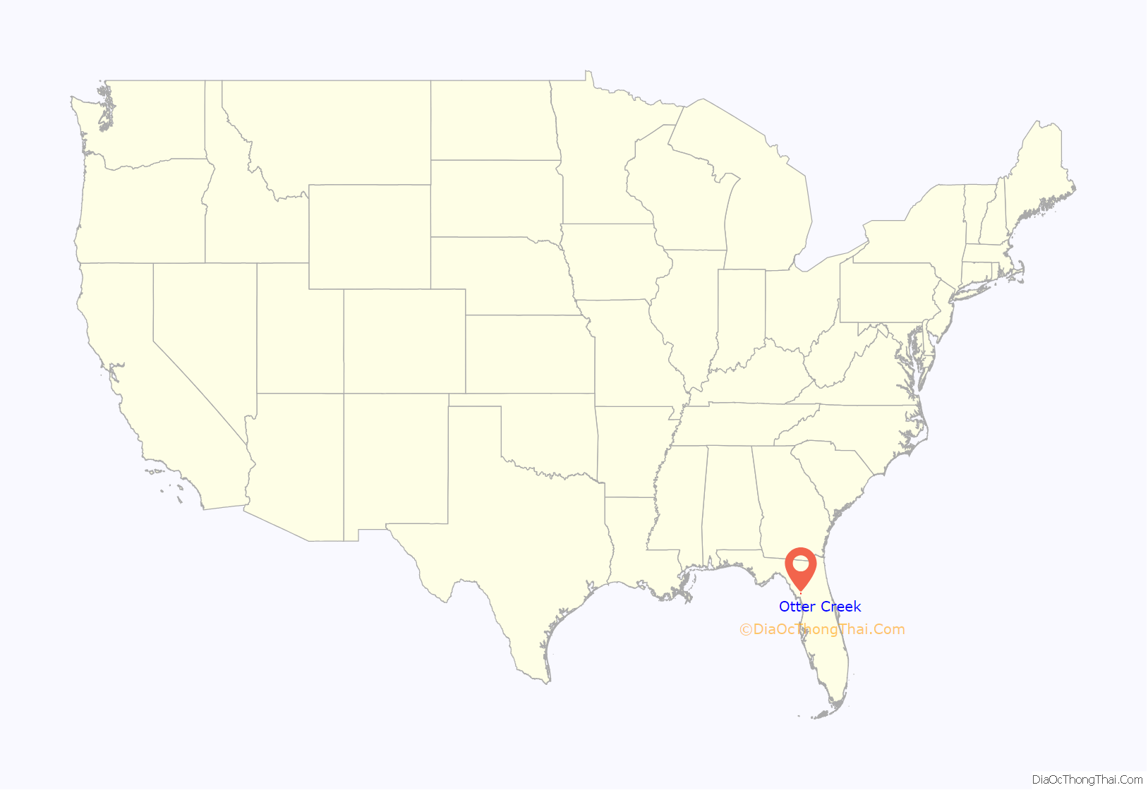
Otter Creek location map. Where is Otter Creek town?
History
Hernando de Soto crossed Otter Creek during his explorations of Florida in 1539.
In the 1930s and 1940s, Otter Creek was the second largest community in Levy County, with a population approaching 1,000.
The loss of a lumber mill that made cypress “flitches” for citrus crates and the discontinuation of two railroads which bisected the town led to a steady population decline.
In 2007, the town council created a local historic district consisting of neighborhoods with “company town” residences that date from the 19th and early 20th century
After the closure of the lumber mill, there has been very little business or commercial activity within Otter Creek. By 2019, only two small businesses remained, an independently-owned convenience store (no gasoline) located at the intersection of Highways 19 and 24, and the Creekside Christian School, a private, primary school operating on the grounds of Otter Creek Baptist Church.
To the extent that other businesses existed, they have closed due to the deaths of their owners or otherwise failed. Some notable examples were the Smith Store and the Country Store, both community-centric and vibrant in their days. The Smith Store was operated by Ella Graham (deceased 1996), whose grandson once delivered groceries and dry goods to the town residents on a Shetland pony. The Country Store, originally built and operated by Junior and Philene Williams, changed hands after their deaths, but permanently closed about 2000. There was an animal hide tannery until about 1980, and a few bait shops and convenience stores. The remnants of nearly all are now decrepit.
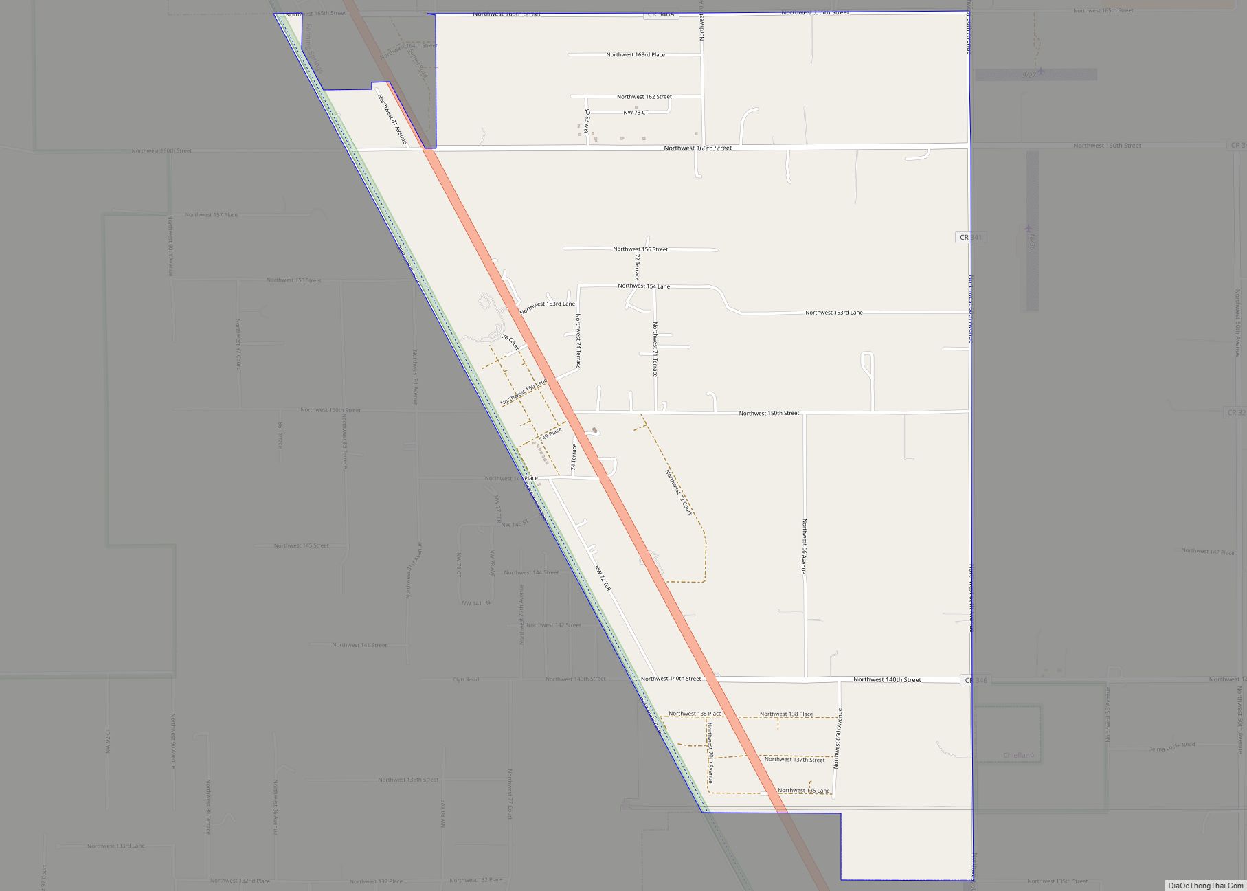
Otter Creek Road Map
Otter Creek city Satellite Map
Geography
Otter Creek is located at 29°19′24″N 82°46′22″W / 29.323435°N 82.772708°W / 29.323435; -82.772708.
According to the United States Census Bureau, the town has a total area of 1.5 square miles (3.8 km), of which 1.4 square miles (3.7 km) is land and 0.019 square miles (0.05 km) (1.28%) is water.
See also
Map of Florida State and its subdivision:- Alachua
- Baker
- Bay
- Bradford
- Brevard
- Broward
- Calhoun
- Charlotte
- Citrus
- Clay
- Collier
- Columbia
- Desoto
- Dixie
- Duval
- Escambia
- Flagler
- Franklin
- Gadsden
- Gilchrist
- Glades
- Gulf
- Hamilton
- Hardee
- Hendry
- Hernando
- Highlands
- Hillsborough
- Holmes
- Indian River
- Jackson
- Jefferson
- Lafayette
- Lake
- Lee
- Leon
- Levy
- Liberty
- Madison
- Manatee
- Marion
- Martin
- Miami-Dade
- Monroe
- Nassau
- Okaloosa
- Okeechobee
- Orange
- Osceola
- Palm Beach
- Pasco
- Pinellas
- Polk
- Putnam
- Saint Johns
- Saint Lucie
- Santa Rosa
- Sarasota
- Seminole
- Sumter
- Suwannee
- Taylor
- Union
- Volusia
- Wakulla
- Walton
- Washington
- Alabama
- Alaska
- Arizona
- Arkansas
- California
- Colorado
- Connecticut
- Delaware
- District of Columbia
- Florida
- Georgia
- Hawaii
- Idaho
- Illinois
- Indiana
- Iowa
- Kansas
- Kentucky
- Louisiana
- Maine
- Maryland
- Massachusetts
- Michigan
- Minnesota
- Mississippi
- Missouri
- Montana
- Nebraska
- Nevada
- New Hampshire
- New Jersey
- New Mexico
- New York
- North Carolina
- North Dakota
- Ohio
- Oklahoma
- Oregon
- Pennsylvania
- Rhode Island
- South Carolina
- South Dakota
- Tennessee
- Texas
- Utah
- Vermont
- Virginia
- Washington
- West Virginia
- Wisconsin
- Wyoming
