Oviedo (/ˌoʊˈviːdoʊ/ oh-VEE-doh) is a city in Seminole County, Florida, United States. As of the 2010 United States Census, the population was 33,342, representing an increase of 7,026 (26.7%) from the 26,316 counted in the 2000 Census. It is part of the Orlando–Kissimmee–Sanford Metropolitan Statistical Area. Oviedo is known for its historic houses and buildings, as well as its population of chickens that roam the downtown area. Although the city has historically been rural, in recent years it has had an influx of new developments to support its rapid growth, due to its proximity to the University of Central Florida and the Central Florida Research Park.
| Name: | Oviedo city |
|---|---|
| LSAD Code: | 25 |
| LSAD Description: | city (suffix) |
| State: | Florida |
| County: | Seminole County |
| Elevation: | 43 ft (13 m) |
| Total Area: | 15.80 sq mi (40.92 km²) |
| Land Area: | 15.52 sq mi (40.20 km²) |
| Water Area: | 0.28 sq mi (0.72 km²) |
| Total Population: | 40,059 |
| Population Density: | 2,580.79/sq mi (996.43/km²) |
| ZIP code: | 32762, 32765, 32766 |
| Area code: | 407, 689, 321 |
| FIPS code: | 1253575 |
| GNISfeature ID: | 2404447 |
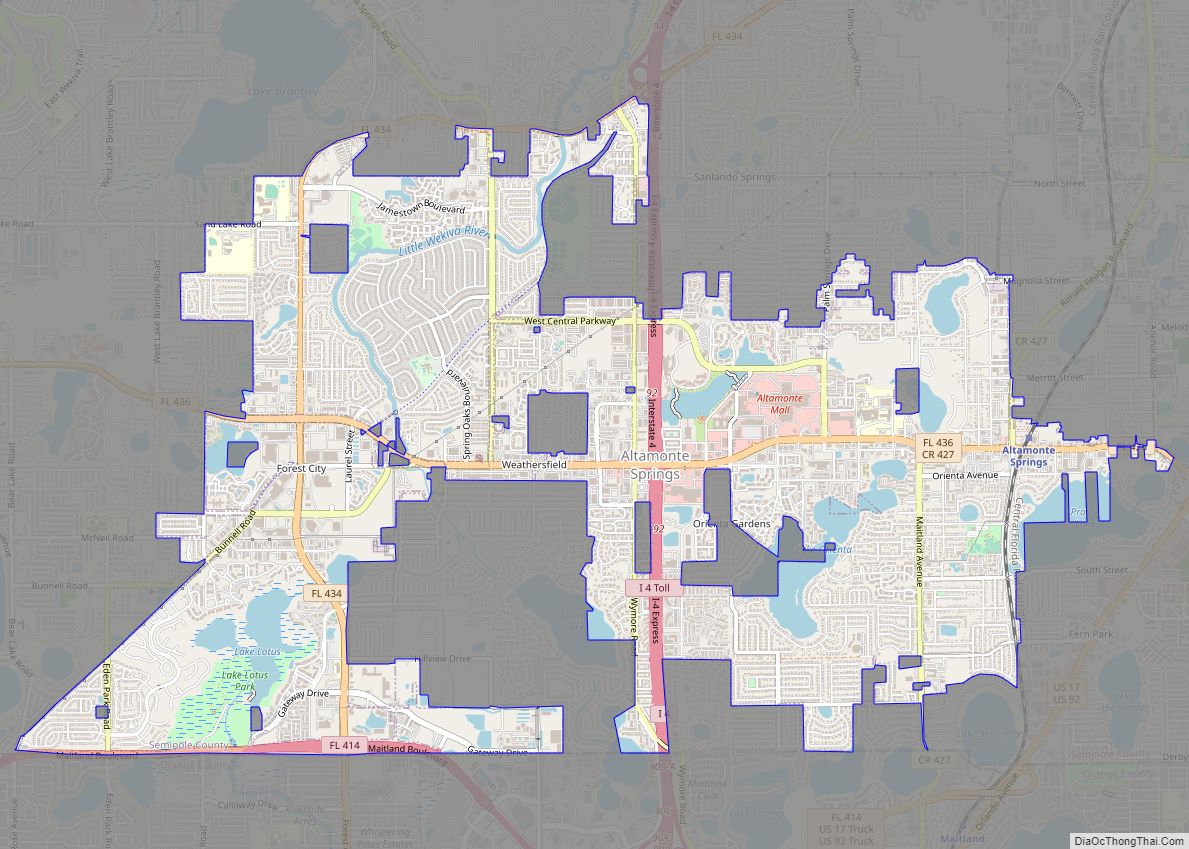
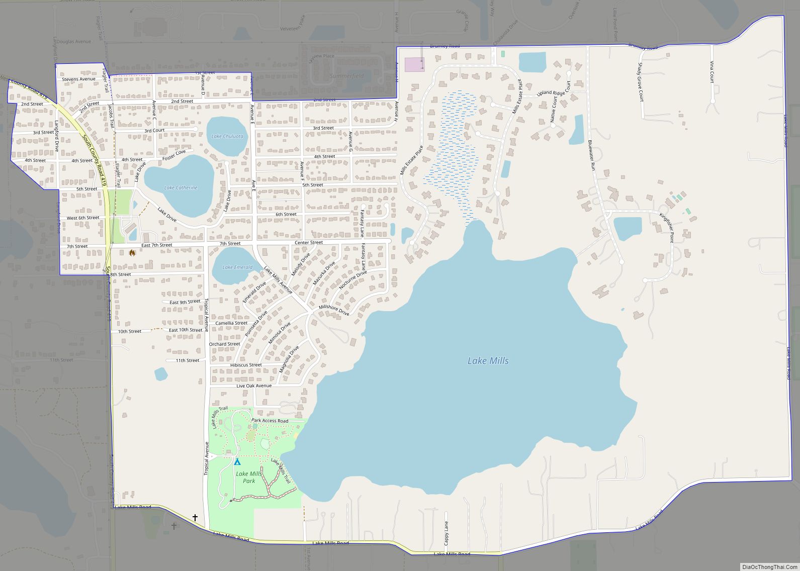
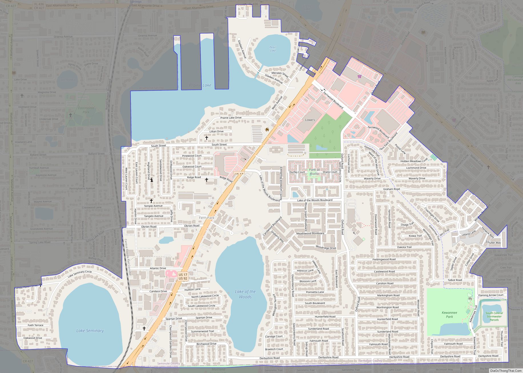
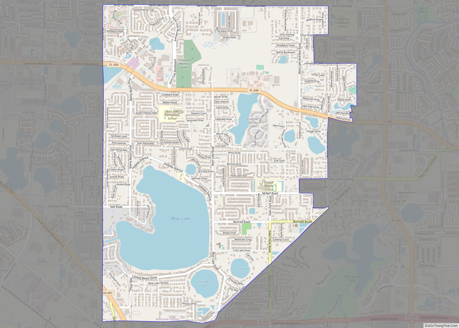
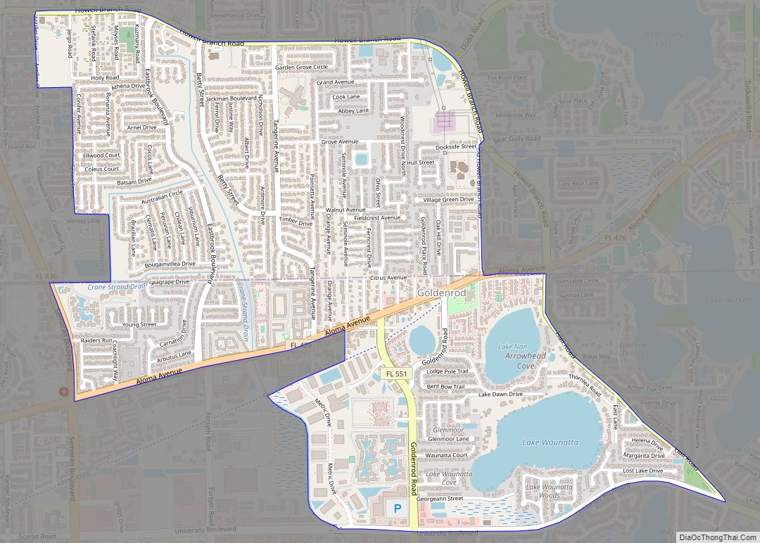
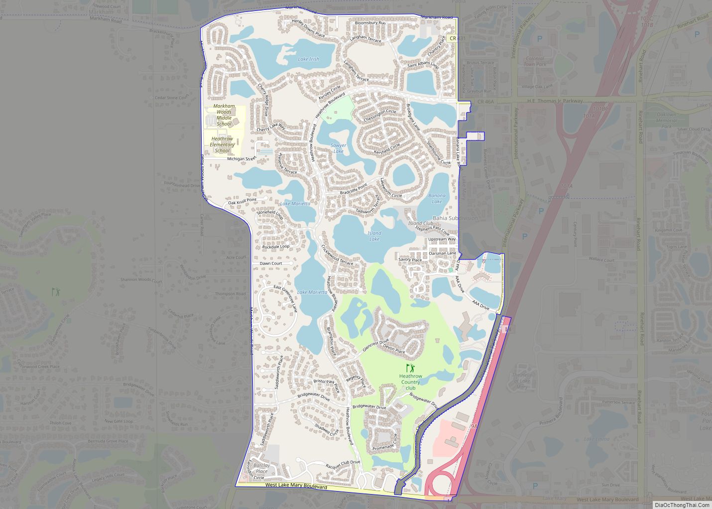
Online Interactive Map
Click on ![]() to view map in "full screen" mode.
to view map in "full screen" mode.
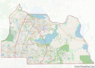
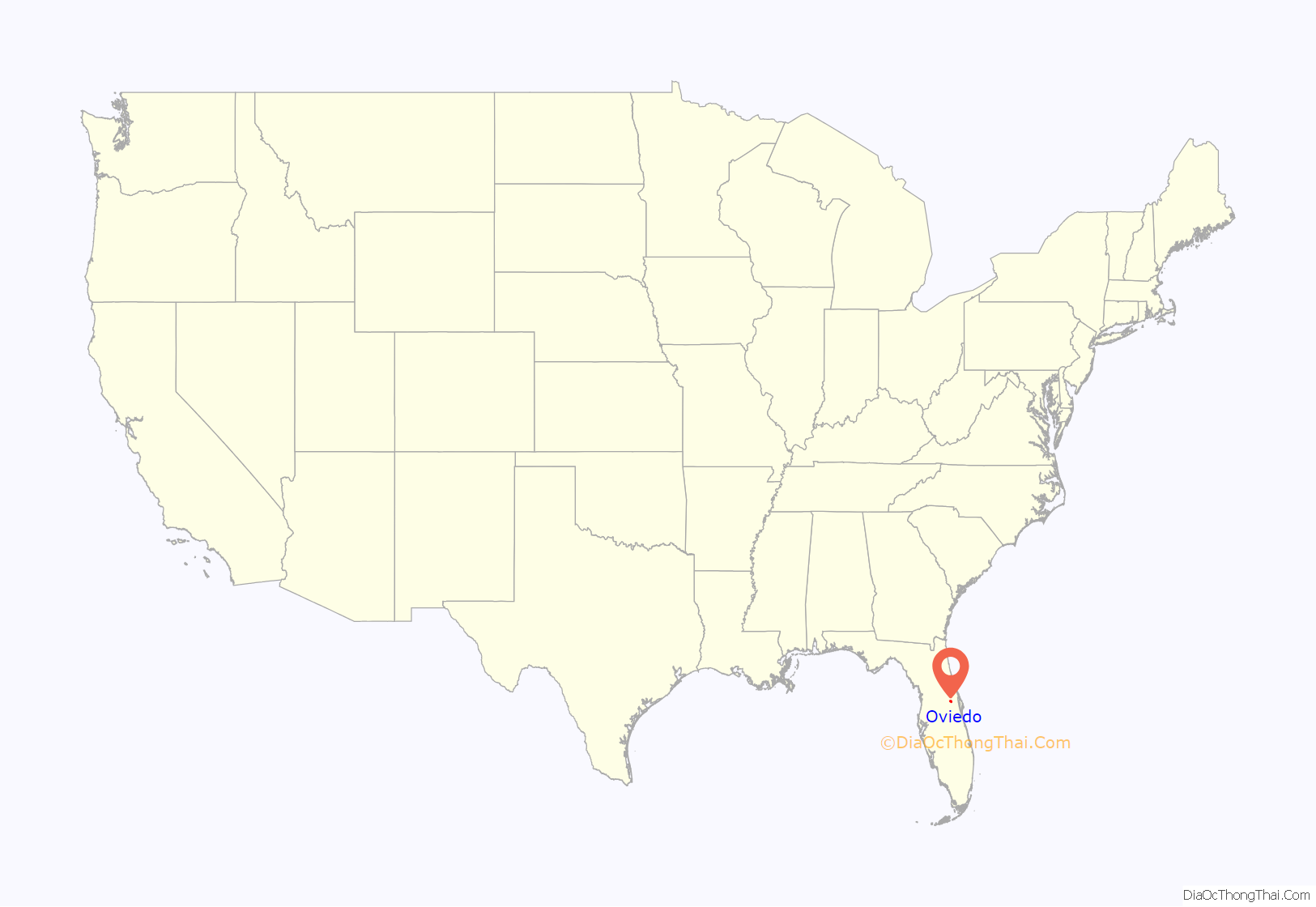
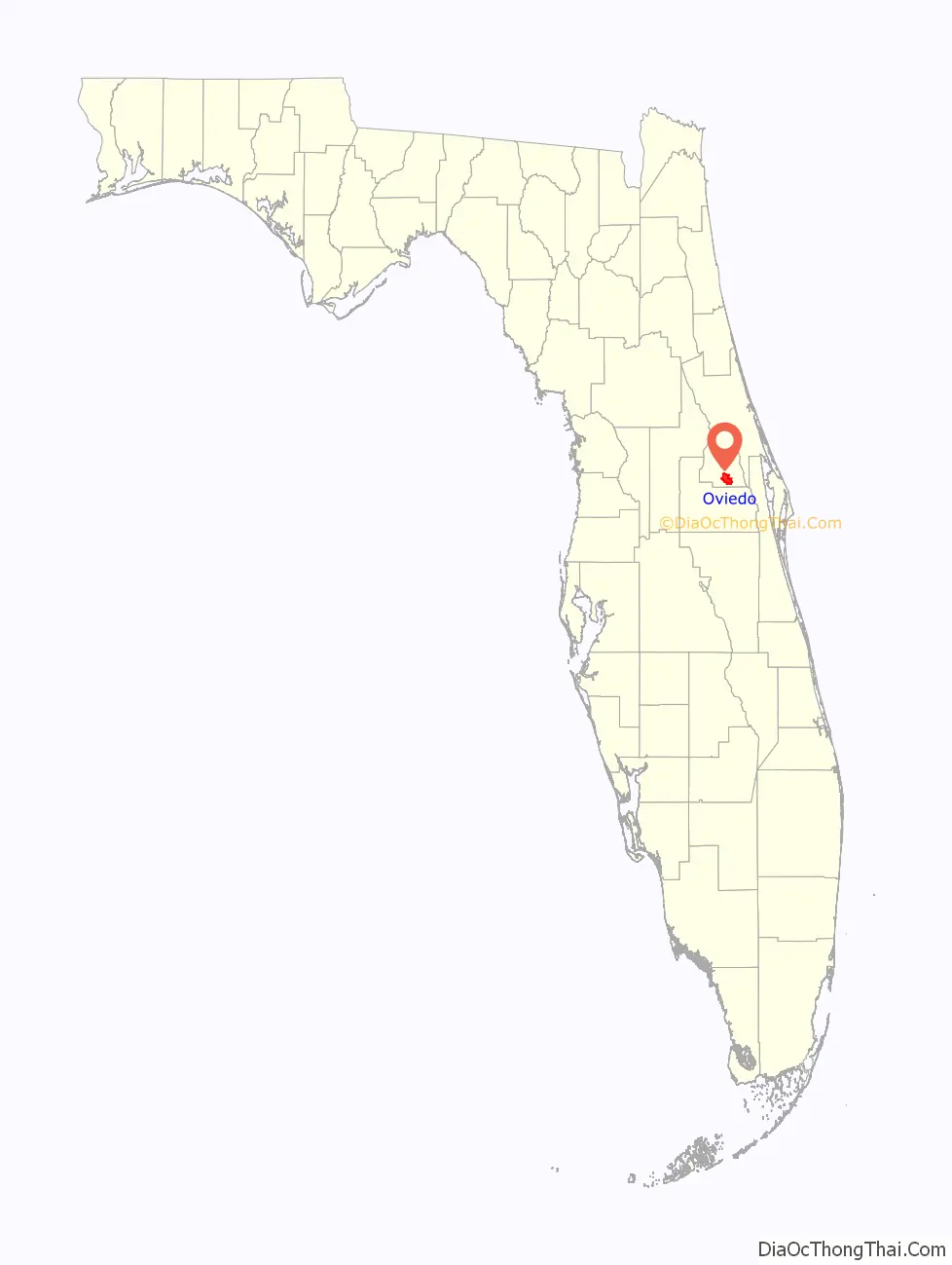
Oviedo location map. Where is Oviedo city?
History
Up through the early 19th century, the area encompassing Oviedo was sparsely populated save for a few Seminoles and African-American Freemen who associated with the Seminole tribe, known as Black Seminoles, in what was then Spanish Florida. The Seminole tribe had larger clusters of population in other areas of Central Florida, such as nearby Lake Jesup.
The population remained sparse until after the American Civil War, when people devastated by war started moving South to begin a new life. One mile to the southeast side of Lake Jesup, a small hamlet of settlers established the “Lake Jesup Settlement” in 1875. Letters from that era showcased a difficult life for the Florida Cracker settlers: cooking outdoors with wood stoves, sleeping under mosquito nets, and burning rags to keep the insects away. Wildlife was plentiful, however. Initially, this settlement had around 40 families, but quickly evolved into a thriving trading port. The settlement was named “Oviedo” by Andrew Aulin when the first post office was established to honor the state’s Spanish heritage.
In the late 1870s, individuals living a few miles south of Lake Jesup needed an easily accessible post office in the Florida back country. Andrew Aulin, an early settler and shop-owner, decided to file paperwork for a post office, and in his first site location report, needed a name that was different from any other post office in Florida. Aulin liked having a Spanish name, “to honor the Spanish heritage of the state,” and decided to name his post office location “Oviedo” after the city of Oviedo in northern Spain (the capital city of the Principality of Asturias) and the University of Oviedo. Some say he visited the university, while others say he just liked the sound of it, but most agree that he likely pronounced the name correctly oh-vee-AY-doh rather than the Americanized way of oh-VEE-doh. A recent campaign advocates for honoring Aulin’s original concept for the town’s moniker by returning to the correct Spanish pronunciation oh-vee-AY-doh).
Several people played a prominent role in establishing Oviedo’s history. George Powell was an early settler who ran a large tract of land, referred to as the “Powell Settlement”, which today encompasses most of the northern part of the city—including the downtown area. One of Powell’s sons, Lewis Powell, (alias Lewis Payne), became infamous for being John Wilkes Booth’s primary accomplice in the plot to assassinate President Abraham Lincoln.
George Powell’s friend, Henry Foster, was instrumental in transforming Oviedo’s citrus and celery industry from obscurity to prominence by giving Oviedo reliable transportation to deliver its goods. He paid for a railway link to Oviedo and founded the Lake Jesup Steamboat Company. Agriculture was Oviedo’s primary industry all the way through the 1940s. Foster was also responsible for establishing the Lake Charm area as a resort to entice visitors from the North to vacation in the winter. Foster encouraged settlers to begin attending regular church services on a site of the “Powell Settlement” that would become the First Methodist Church of Oviedo.
A citrus-grower named Butler Boston is also credited for helping establish Oviedo’s citrus economy by successfully grafting tangerine budwood to grow tangerines, as well as budding the succulent Temple orange from Jamaica to several Oviedo fields. Butler Boston was the son of a doctor, Alexander Atkinson, who had fathered Butler, along with several others with freed black women on his family’s plantation. Atkinson moved to Oviedo in 1871 with the 12-year-old Butler to both set up a medical practice and buy a farm. Atkinson gave the land to his son after a freeze when he moved back to Georgia. Boston was so successful that he was hired to bud other Oviedo fields. He became a spokesman for the large black community in the area, and was especially devoted to improving their educational opportunities, and served as a local school trustee. He was also an accomplished bricklayer and oversaw the planning and construction of a new building for the Antioch Baptist Church. His legacy is noted today throughout Oviedo, in sites such as Boston Street, Boston Alley, Boston Cemetery, Boston Hill and Butler Boston Court. His home site is where Canterbury Retreat and Conference Center is located. Its centerpiece is Lake Gem, named by the Boston family for a close family member.
Andrew Duda Sr., a Slovak immigrant, established a farm in nearby Slavia in the early 20th century. He left after failing to produce successful crops, but saved up money and returned in 1926 to try again. The second time, he was extraordinarily successful and his farm survived even through the Great Depression. In fact, in 1939, he was able to build St. Luke’s Lutheran Church, which has since expanded into a large Lutheran community. The Duda family started a sod division in the 1970s that has since flourished and continues today. The west entrance of Oviedo cuts straight through the sod farm.
Oviedo experienced a major growth spurt during the boom years of the 1920s, and new buildings and banks were built on the main street of downtown, named “Broadway”. Some of these buildings still remain, along with the complex of buildings surrounding the Nelson and Co. packing house, which was the center of Oviedo’s agricultural industry for decades. This agricultural complex eventually shut down for good during the 1980s after a series of winter freezes. At that time, commercial development had already replaced agriculture as Oviedo’s main industry.
Oviedo made the transition from a rural hamlet, to a town, and then, in 1967, became a city through a special referendum. Five miles south of Oviedo, in 1963, residents learned about the impending building of a “space university” in the Orlando Morning Sentinel. Many faculty and staff members of Florida Technological University (now the University of Central Florida) moved into Oviedo, and new businesses and industry soon followed. The adjacent Central Florida Research Park, originally established in 1978, has since become the largest research park in Florida. This has resulted in an exploding population with many new developments in recent years. As the city has grown, its animals have remained a part of the city’s character. Although hogs can no longer be seen walking free, chickens and roosters continue to roam the downtown area and have become an Oviedo attraction.
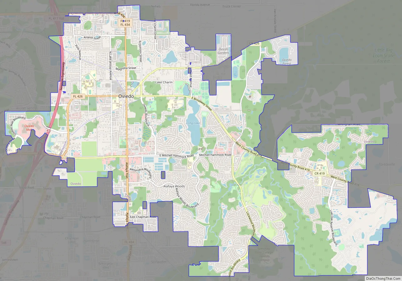
Oviedo Road Map
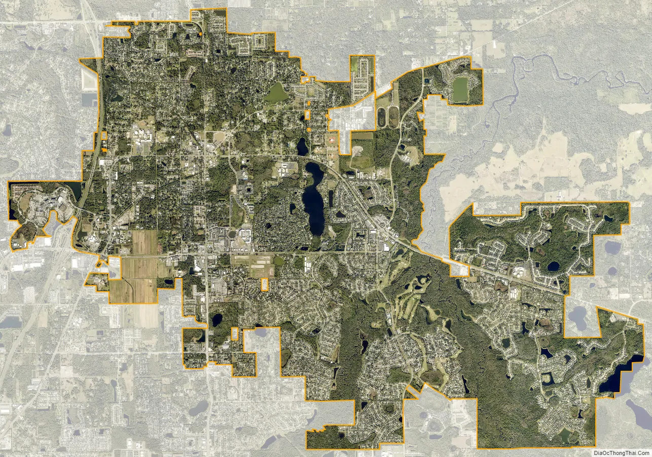
Oviedo city Satellite Map
Geography
According to the United States Census Bureau, the city has a total area of 40.0 km (15.4 mi). 15.1 square miles (39 km) of it is land and 0.3 square miles (0.78 km) of it (2.07%) is water. Oviedo is located about 20 minutes from downtown Orlando, Florida, by highway (SR 417 and SR 408). The Econlockhatchee River runs through the east part of the city, and a tributary, the Little Econlockhatchee River, runs through the southern part of the city.
Weather events
In August 2004, the northwestern side of Hurricane Charley passed directly over Oviedo while still a category 2 storm. More than half the city, as well as much of the surrounding unincorporated areas, had no power for five to seven days. School was not in session county-wide for one full school week. The damages ranged from toppled oaks to destroyed homes. The worst damage was in Palm Valley, a mobile home retirement community less than a mile from UCF. Charley’s damage in Oviedo is considered to be the worst in Seminole County history. Barely a month later, hurricanes Frances and Jeanne further battered the area resulting in additional damage and power outages, but they did not reach the level of Charley’s fury.
Tropical Storm Fay was stationary over Oviedo for days during 2008 with high winds, heavy rains, and flooded roads.
Hurricane Ian caused widespread damage across Florida in 2022, and Oviedo was one of the many cities impacted. The city’s lakes and the Little Econ River flooded, and entire streets in several neighborhoods were submerged.
See also
Map of Florida State and its subdivision:- Alachua
- Baker
- Bay
- Bradford
- Brevard
- Broward
- Calhoun
- Charlotte
- Citrus
- Clay
- Collier
- Columbia
- Desoto
- Dixie
- Duval
- Escambia
- Flagler
- Franklin
- Gadsden
- Gilchrist
- Glades
- Gulf
- Hamilton
- Hardee
- Hendry
- Hernando
- Highlands
- Hillsborough
- Holmes
- Indian River
- Jackson
- Jefferson
- Lafayette
- Lake
- Lee
- Leon
- Levy
- Liberty
- Madison
- Manatee
- Marion
- Martin
- Miami-Dade
- Monroe
- Nassau
- Okaloosa
- Okeechobee
- Orange
- Osceola
- Palm Beach
- Pasco
- Pinellas
- Polk
- Putnam
- Saint Johns
- Saint Lucie
- Santa Rosa
- Sarasota
- Seminole
- Sumter
- Suwannee
- Taylor
- Union
- Volusia
- Wakulla
- Walton
- Washington
- Alabama
- Alaska
- Arizona
- Arkansas
- California
- Colorado
- Connecticut
- Delaware
- District of Columbia
- Florida
- Georgia
- Hawaii
- Idaho
- Illinois
- Indiana
- Iowa
- Kansas
- Kentucky
- Louisiana
- Maine
- Maryland
- Massachusetts
- Michigan
- Minnesota
- Mississippi
- Missouri
- Montana
- Nebraska
- Nevada
- New Hampshire
- New Jersey
- New Mexico
- New York
- North Carolina
- North Dakota
- Ohio
- Oklahoma
- Oregon
- Pennsylvania
- Rhode Island
- South Carolina
- South Dakota
- Tennessee
- Texas
- Utah
- Vermont
- Virginia
- Washington
- West Virginia
- Wisconsin
- Wyoming