Pebble Creek is a census-designated place (CDP) in Hillsborough County, Florida, United States. The population was 9,624 at the 2020 census, up from 7,622 at the 2010 census. Pebble Creek is located in the unincorporated portion of New Tampa, and is primarily a residential zone.
| Name: | Pebble Creek CDP |
|---|---|
| LSAD Code: | 57 |
| LSAD Description: | CDP (suffix) |
| State: | Florida |
| County: | Hillsborough County |
| Elevation: | 49 ft (15 m) |
| Total Area: | 2.92 sq mi (7.56 km²) |
| Land Area: | 2.83 sq mi (7.32 km²) |
| Water Area: | 0.10 sq mi (0.25 km²) |
| Total Population: | 9,624 |
| Population Density: | 3,406.73/sq mi (1,315.52/km²) |
| ZIP code: | 33647 |
| Area code: | 813 |
| FIPS code: | 1255540 |
| GNISfeature ID: | 1853274 |
Online Interactive Map
Click on ![]() to view map in "full screen" mode.
to view map in "full screen" mode.
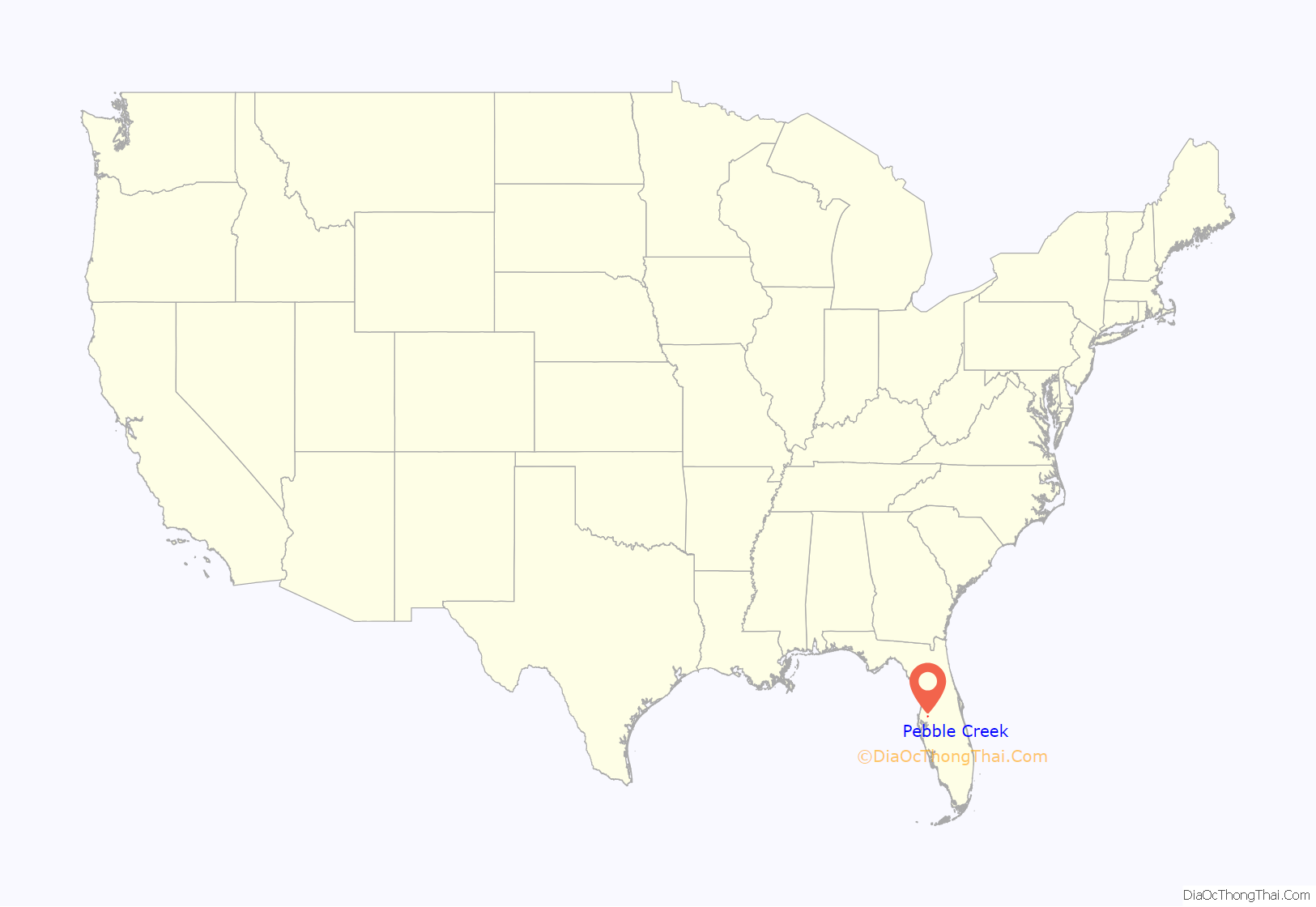
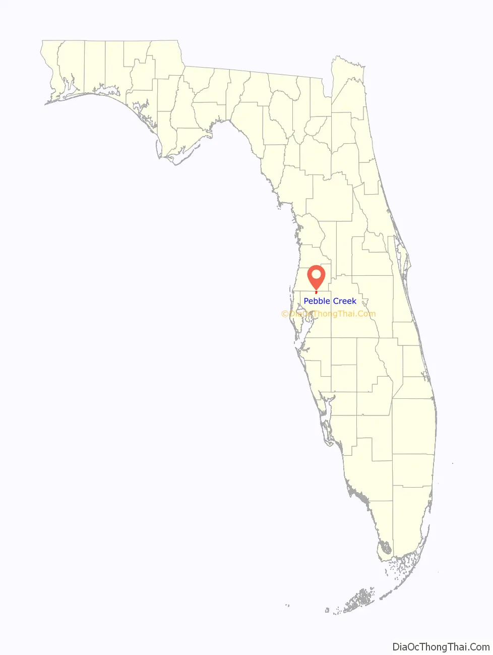
Pebble Creek location map. Where is Pebble Creek CDP?
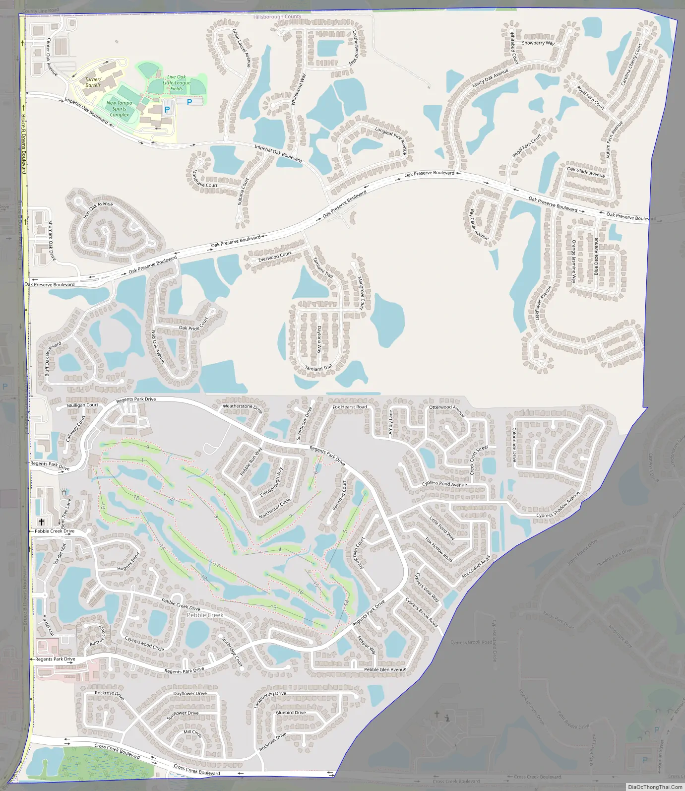
Pebble Creek Road Map
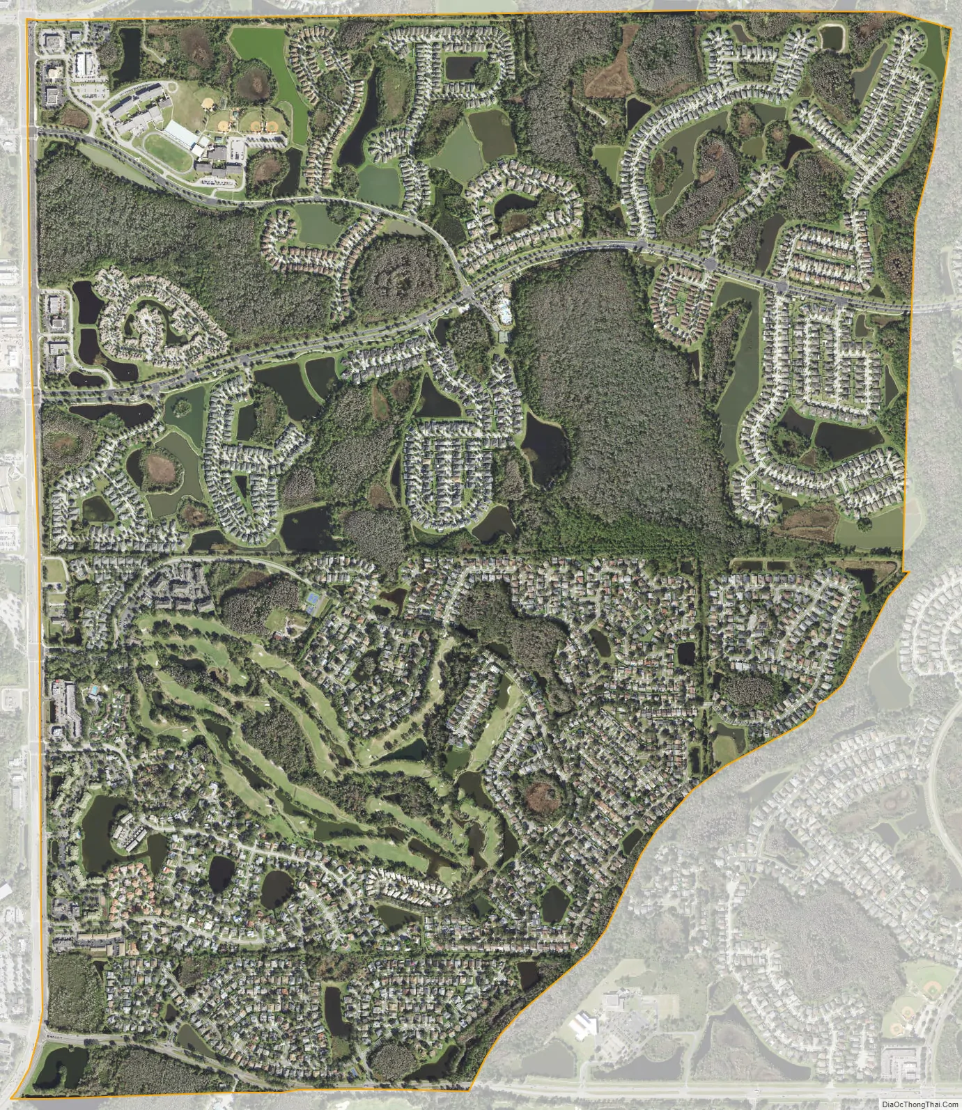
Pebble Creek city Satellite Map
Geography
Pebble Creek is located along the northern edge of Hillsborough County at 28°9′0″N 82°20′41″W / 28.15000°N 82.34472°W / 28.15000; -82.34472 (28.150079, -82.344731). It is bordered to the east, south, and west by the city of Tampa and to the north by the Wesley Chapel CDP in Pasco County. Pebble Creek is 18 miles (29 km) northeast of downtown Tampa.
According to the United States Census Bureau, the CDP has a total area of 2.9 square miles (7.5 km), of which 2.8 square miles (7.2 km) are land and 0.1 square miles (0.2 km), or 3.29%, are water.
See also
Map of Florida State and its subdivision:- Alachua
- Baker
- Bay
- Bradford
- Brevard
- Broward
- Calhoun
- Charlotte
- Citrus
- Clay
- Collier
- Columbia
- Desoto
- Dixie
- Duval
- Escambia
- Flagler
- Franklin
- Gadsden
- Gilchrist
- Glades
- Gulf
- Hamilton
- Hardee
- Hendry
- Hernando
- Highlands
- Hillsborough
- Holmes
- Indian River
- Jackson
- Jefferson
- Lafayette
- Lake
- Lee
- Leon
- Levy
- Liberty
- Madison
- Manatee
- Marion
- Martin
- Miami-Dade
- Monroe
- Nassau
- Okaloosa
- Okeechobee
- Orange
- Osceola
- Palm Beach
- Pasco
- Pinellas
- Polk
- Putnam
- Saint Johns
- Saint Lucie
- Santa Rosa
- Sarasota
- Seminole
- Sumter
- Suwannee
- Taylor
- Union
- Volusia
- Wakulla
- Walton
- Washington
- Alabama
- Alaska
- Arizona
- Arkansas
- California
- Colorado
- Connecticut
- Delaware
- District of Columbia
- Florida
- Georgia
- Hawaii
- Idaho
- Illinois
- Indiana
- Iowa
- Kansas
- Kentucky
- Louisiana
- Maine
- Maryland
- Massachusetts
- Michigan
- Minnesota
- Mississippi
- Missouri
- Montana
- Nebraska
- Nevada
- New Hampshire
- New Jersey
- New Mexico
- New York
- North Carolina
- North Dakota
- Ohio
- Oklahoma
- Oregon
- Pennsylvania
- Rhode Island
- South Carolina
- South Dakota
- Tennessee
- Texas
- Utah
- Vermont
- Virginia
- Washington
- West Virginia
- Wisconsin
- Wyoming


