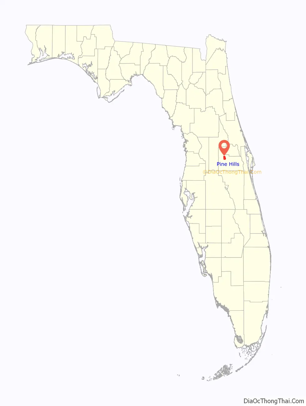
Pine Hills is a census-designated place (CDP) and unincorporated subdivision in Orange County, Florida, United States, west of Orlando. Per the 2020 U.S. Census, the population was 66,111. It is a part of the Orlando–Kissimmee–Sanford, Florida Metropolitan Statistical Area (home to 2,134,311 people in 2010).
Pine Hills is home to several parks, five elementary schools, two middle schools, and one high school. As a part of the Florida Coast To Coast Bicycle Trail, the Pine Hills Trail is also being developed running from Barnett Park through the middle of the community to Clarcona-Ocoee Road. As a result of residential demographic shifts, the area has been described as a minority majority community. In response to years of neglect and blight, several revitalization efforts are currently underway in the community bringing results.
| Name: | Pine Hills CDP |
|---|---|
| LSAD Code: | 57 |
| LSAD Description: | CDP (suffix) |
| State: | Florida |
| County: | Orange County |
| Elevation: | 112 ft (34 m) |
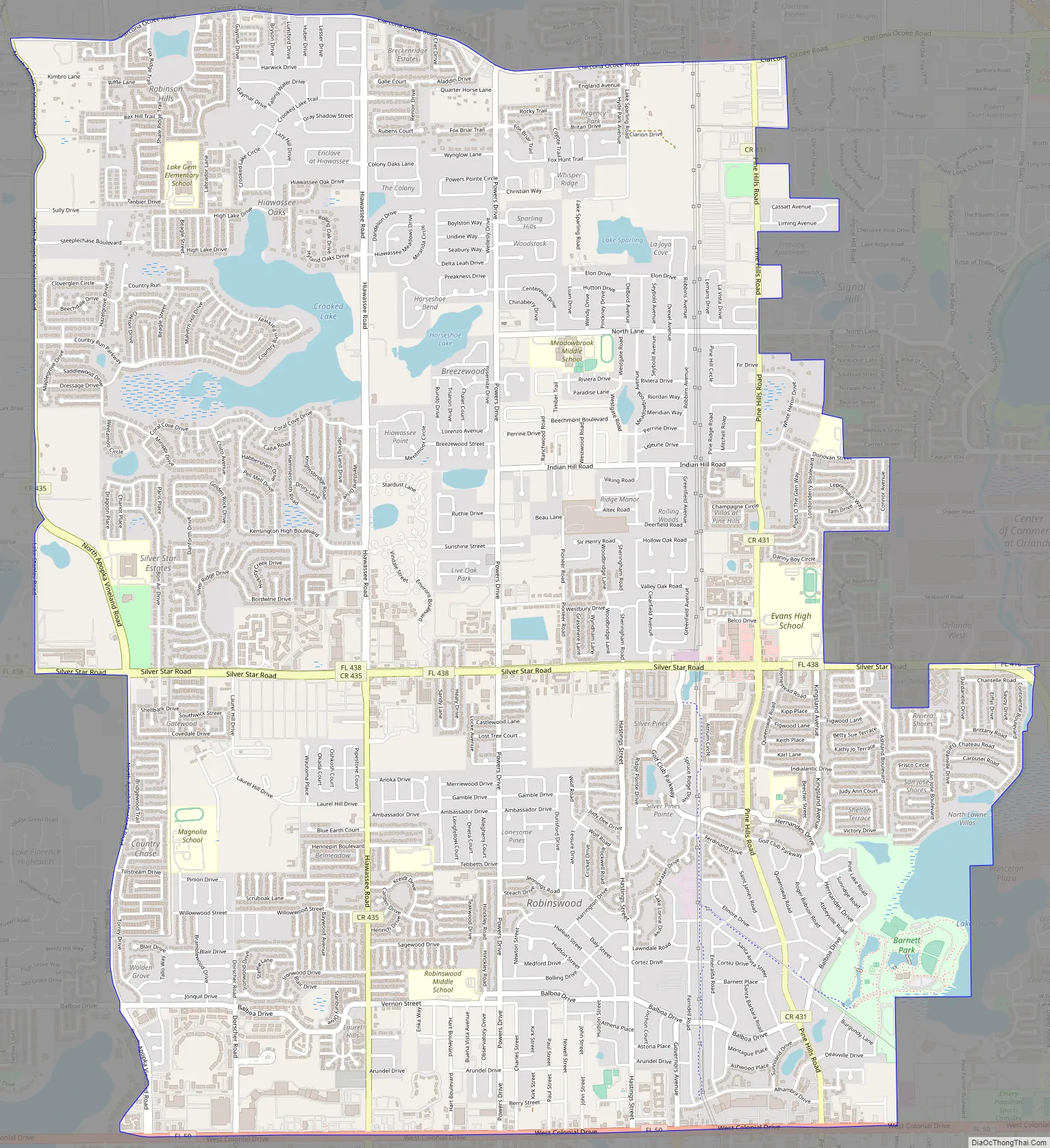
| Land Area: | 12.20 sq mi (31.58 km²) |
| Water Area: | 0.49 sq mi (1.26 km²) |
| Population Density: | 5,421.16/sq mi (2,093.19/km²) |
| Area code: | 407, 689 |
| FIPS code: | 1256825 |
| GNISfeature ID: | 0288851 |
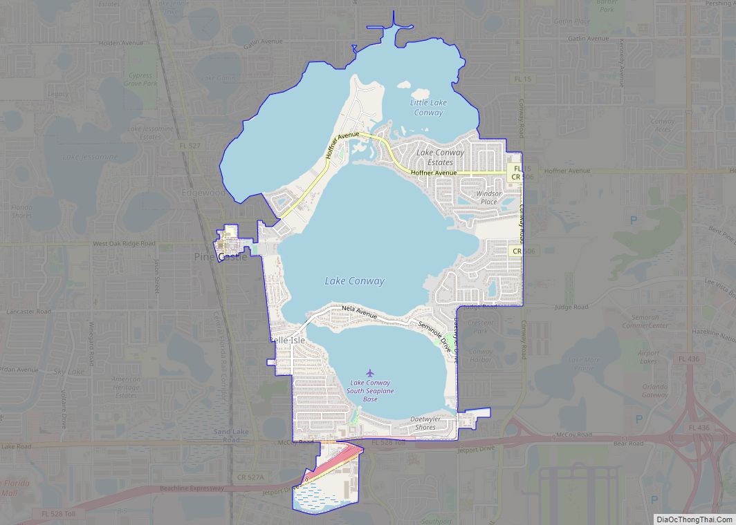
Online Interactive Map
Click on ![]() to view map in "full screen" mode.
to view map in "full screen" mode.
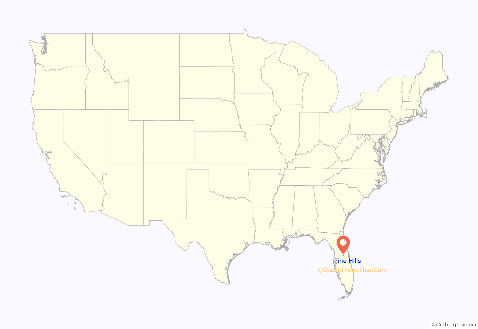
Pine Hills location map. Where is Pine Hills CDP?
History
The area that would become Pine Hills began in 1953 with the first subdivisions – Robinswood and Pine Ridge Estates – constructed along the newly completed Pine Hills Road north of Colonial Drive (SR 50). It was one of the first suburbs of Orlando and grew as a bedroom community for the workers of Martin Marietta (now Lockheed Martin). At the time, it was an upper-middle class suburb with a country club named “Silver Pines”.
During the 1960s and into the 1970s, Pine Hills grew north from the original subdivisions around Pine Hills Rd and Colonial Drive to include new neighborhoods off of Silver Star Rd in the north around Powers Dr and to the east around Pine Hills and Indian Hill Roads. The community built its own fire department, a post office branch, and several schools. In the 1970s, the Orange County government seized Pine Hills’ fire engine in an effort to consolidate county-wide fire services. Nevertheless, Pine Hills continued to grow and community leaders began an initiative to incorporate Pine Hills into a city. However, this initiative was eventually abandoned. Several Orange County Commissioners and Florida State House of Representatives and Senators have lived and worked in Pine Hills. During the 1980s, the City of Orlando began annexing sections of Pine Hills. Some areas annexed during this time include North Lane east of Pine Hills Road, Clarion Drive south of Clarcona-Ocoee Road, and areas of the Signal Hill subdivision. Residents rejected further annexation, fearing larger taxes and little representation from Orlando. Eventually, as Orlando’s growth surrounded Pine Hills, many of the original families moved into newer neighborhoods in nearby Ocoee, Winter Garden and MetroWest.
Into the late 1980s and during the 1990s, Pine Hills fell into a state of decline. Silver Pines Country Club was closed, and apartment complexes were built on the property in the mid-1990s. The “Pine Hills Shopping Center” lost its long-time tenants and was eventually converted in the late 1990s into “Pine Hills Marketplace”, a strip mall with discount stores. As newer neighborhoods developed offering more housing options, rental rates dropped and housing became more affordable for residents. Paired with the long-term effects of post-desegregation white flight, neglect from the Orange County government, particularly from the Orange County Board of Commissioners, has resulted in higher crime, and the perpetuation of the “‘Crime Hills’ narrative'” that the area is a less safe, or desirable place to live. As of 2013, Pine Hills’ perception as a high-crime area has begun to shift in a positive direction, by virtue of community-wide initiatives and efforts led by residents. Many schools and churches offer after-school programs and to some extent, free daycare. The Orlando Police Department has collaborated with the Orange County Sheriff’s Office to prevent crime by increasing patrols through the neighborhoods. The government of Orange County is also increasing code enforcement and issuing citations to property owners who neglect to maintain their home’s appearance.
Recent developments in Pine Hills included the reconstruction of Maynard Evans High School’s main campus on Silver Star Road; completed in 2012. Reconstruction with the latest technology was also completed at Meadowbrook Middle, Robinswood Middle, Pine Hills, Rolling Hills, and Mollie E. Ray Elementary Schools. Additional development includes Orlando’s newest “Chinatown”, located along west Colonial Drive across from the Pine Hills Marketplace. West Colonial Drive, one of the main highways in Pine Hills, was redesigned and construction completed in 2011, bringing better traffic management and improved landscaping to Pine Hills. Other traffic improvement initiatives in Pine Hills included repaving and redesigning the intersection of Pine Hills and Silver Star Roads. Future initiatives include the expansion of Pine Hills Road south to LB Mcleod Road. Lynx, the local transportation agency, is constructing a SuperStop transit connection for multiple bus routes to provide easy access for workers.
Pine Hills Road Map
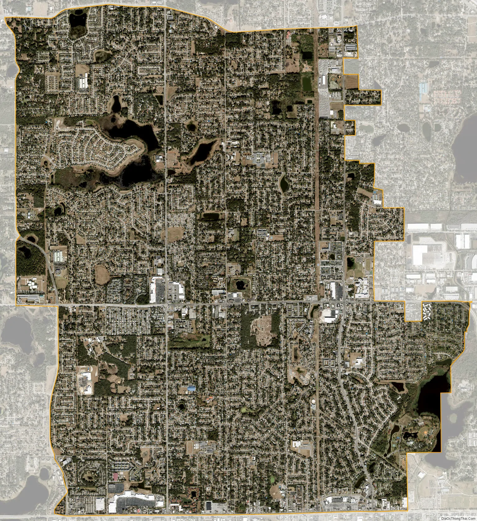
Pine Hills city Satellite Map
Geography
Pine Hills is located at 28°34′30″N 81°27′26″W / 28.57500°N 81.45722°W / 28.57500; -81.45722 (28.574876, -81.457267).
According to the United States Census Bureau, the CDP has a total area of 12.7 square miles (33.0 km), of which 12.2 square miles (31.7 km) is land and 0.50 square miles (1.3 km) (3.87%) is water.
See also
Map of Florida State and its subdivision:- Alachua
- Baker
- Bay
- Bradford
- Brevard
- Broward
- Calhoun
- Charlotte
- Citrus
- Clay
- Collier
- Columbia
- Desoto
- Dixie
- Duval
- Escambia
- Flagler
- Franklin
- Gadsden
- Gilchrist
- Glades
- Gulf
- Hamilton
- Hardee
- Hendry
- Hernando
- Highlands
- Hillsborough
- Holmes
- Indian River
- Jackson
- Jefferson
- Lafayette
- Lake
- Lee
- Leon
- Levy
- Liberty
- Madison
- Manatee
- Marion
- Martin
- Miami-Dade
- Monroe
- Nassau
- Okaloosa
- Okeechobee
- Orange
- Osceola
- Palm Beach
- Pasco
- Pinellas
- Polk
- Putnam
- Saint Johns
- Saint Lucie
- Santa Rosa
- Sarasota
- Seminole
- Sumter
- Suwannee
- Taylor
- Union
- Volusia
- Wakulla
- Walton
- Washington
- Alabama
- Alaska
- Arizona
- Arkansas
- California
- Colorado
- Connecticut
- Delaware
- District of Columbia
- Florida
- Georgia
- Hawaii
- Idaho
- Illinois
- Indiana
- Iowa
- Kansas
- Kentucky
- Louisiana
- Maine
- Maryland
- Massachusetts
- Michigan
- Minnesota
- Mississippi
- Missouri
- Montana
- Nebraska
- Nevada
- New Hampshire
- New Jersey
- New Mexico
- New York
- North Carolina
- North Dakota
- Ohio
- Oklahoma
- Oregon
- Pennsylvania
- Rhode Island
- South Carolina
- South Dakota
- Tennessee
- Texas
- Utah
- Vermont
- Virginia
- Washington
- West Virginia
- Wisconsin
- Wyoming