Seffner is a census-designated place (CDP) in Hillsborough County, Florida, United States. The population at the 2020 census was 8,362, up from 7,579 at the 2010 census.
Located approximately 13 miles (21 km) east of downtown Tampa, Seffner is considered a suburb. Though still characterized by towering live oak trees, strawberry farms and lakes, Seffner has been growing rapidly in recent years, with housing subdivisions being added to the once rural landscape.
| Name: | Seffner CDP |
|---|---|
| LSAD Code: | 57 |
| LSAD Description: | CDP (suffix) |
| State: | Florida |
| County: | Hillsborough County |
| Elevation: | 69 ft (21 m) |
| Total Area: | 3.81 sq mi (9.87 km²) |
| Land Area: | 3.61 sq mi (9.34 km²) |
| Water Area: | 0.20 sq mi (0.53 km²) |
| Total Population: | 8,362 |
| Population Density: | 2,318.27/sq mi (895.12/km²) |
| ZIP code: | 33583-33584 |
| Area code: | 813 |
| FIPS code: | 1264925 |
| GNISfeature ID: | 0290820 |
Online Interactive Map
Click on ![]() to view map in "full screen" mode.
to view map in "full screen" mode.
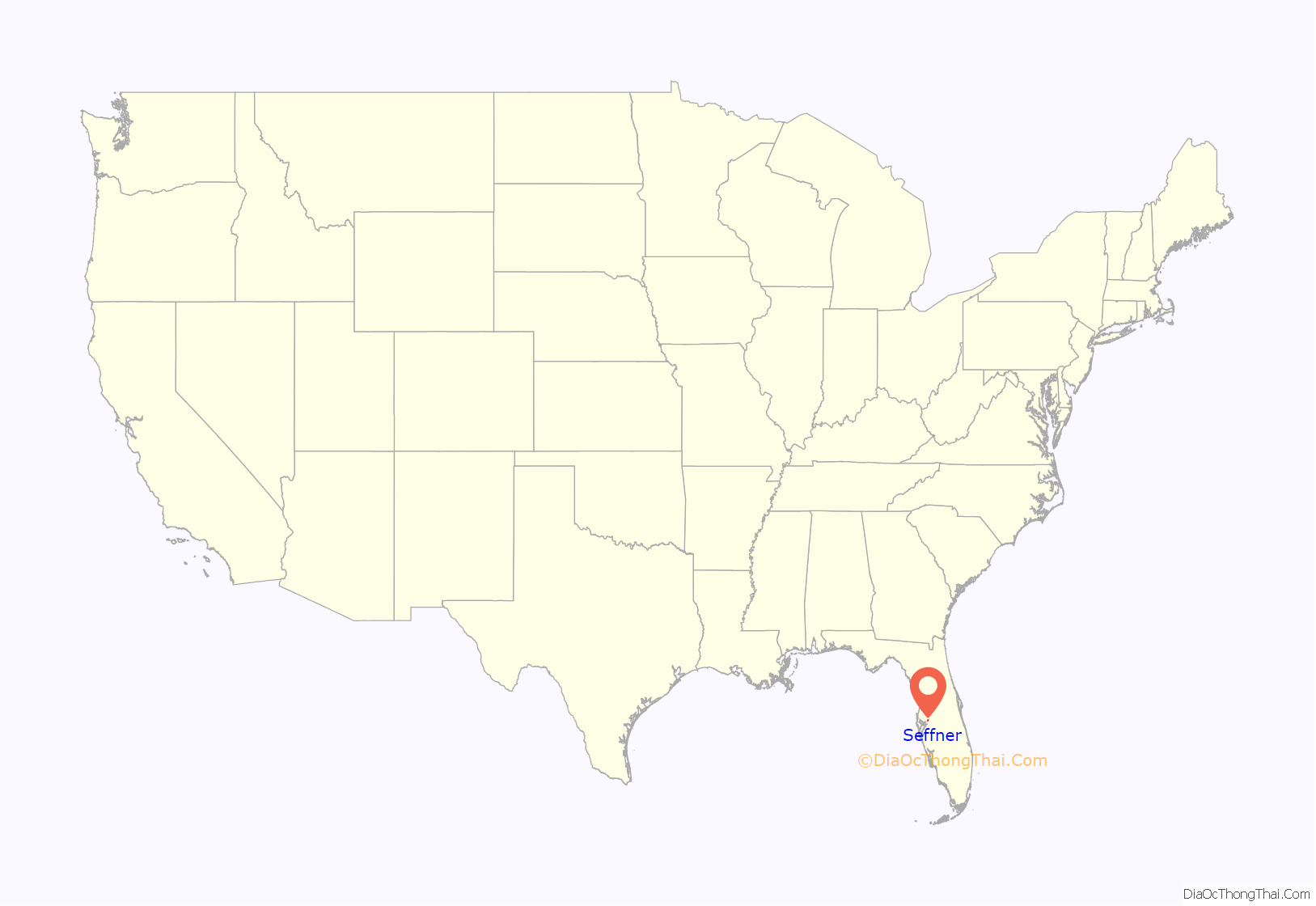
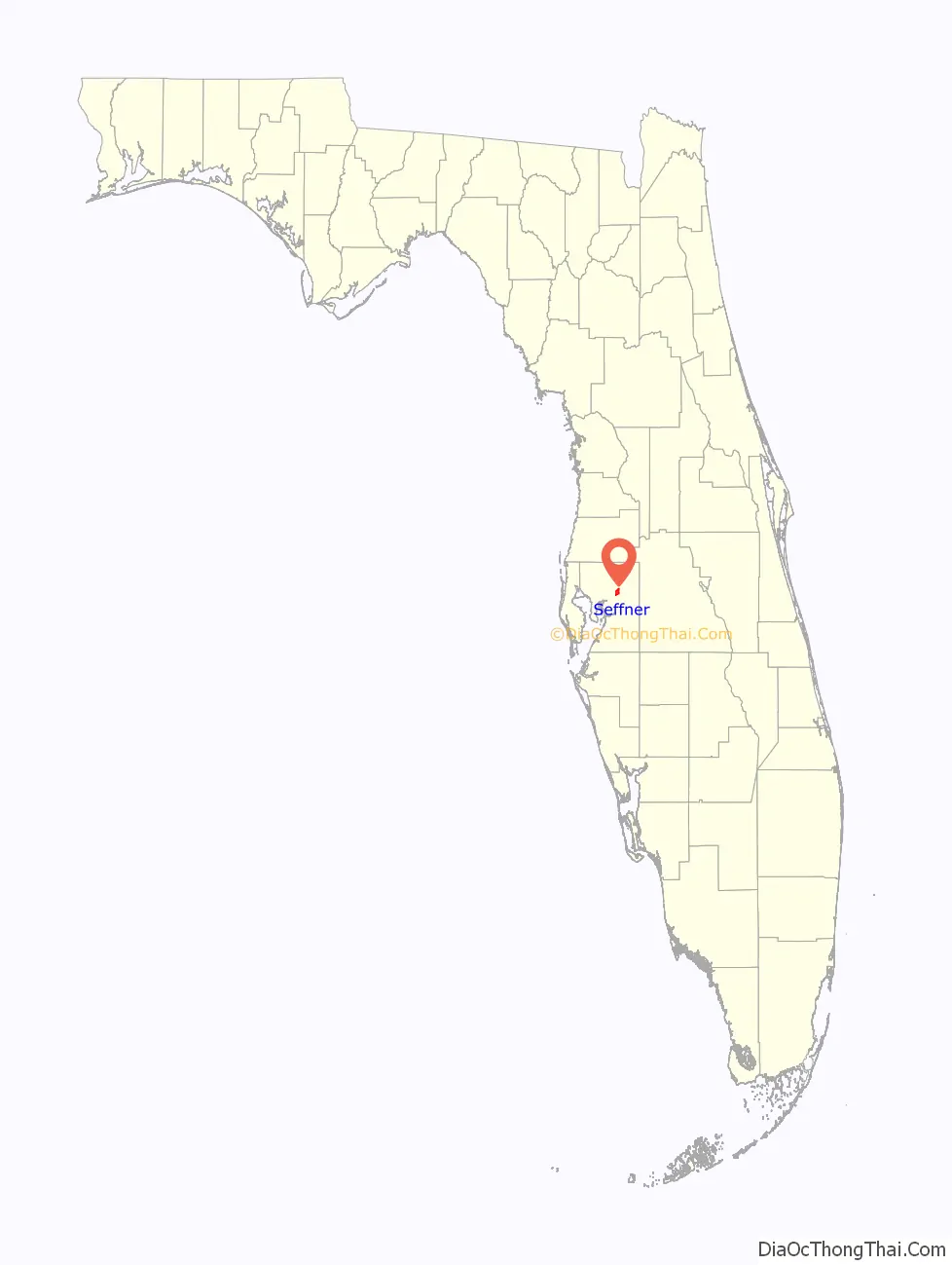
Seffner location map. Where is Seffner CDP?
History
Some historians claim that Seffner’s streets were originally laid out in 1862, but not recorded as a plat formally until 1885. Seffner’s post office opened in 1884, when a new railroad line in the area had been planned. The community was named for its first postmaster, F.P. Seffner. That same year, Seffner’s first school and store were opened. Seffner quickly became a prosperous small community with citrus groves, a hotel, one drug store, several dry goods stores, and a livery stable. When an epidemic of yellow fever hit Tampa in the fall of 1887 and in 1888, many Tampa refugees fled to Seffner for temporary shelter in the hotel. However, as refugees and mail arrived in Seffner, they were fumigated as protection from the epidemic. Among the refugees was T.C. Taliaferro of the First National Bank of Tampa, who operated a branch banking business from Seffner during the epidemic.
The main thoroughfare leading north and south was Lenna Avenue, and leading east and west was Highway Number 23, renamed Buffalo Avenue, because of its erstwhile use as a buffalo trail, and then renamed again in 1989 to its current name, Dr. Martin Luther King, Jr. Boulevard (Hwy 574). Seffner and neighboring Mango and Dover served as the three primary towns along the South Florida Railroad right-of-way between Tampa and Plant City. These towns owe their existence and prosperity to the railroad, each becoming an important shipping center.
The cold in the winter of 1894–1895 brought disaster to Seffner. Many citizens left, while others remained to recoup their losses. Seffner survived and eventually regained its affluence. Attractive residential neighborhoods were built to accommodate the influx of desirable residents. By 1925, Seffner was the fourth-largest town in Hillsborough County.
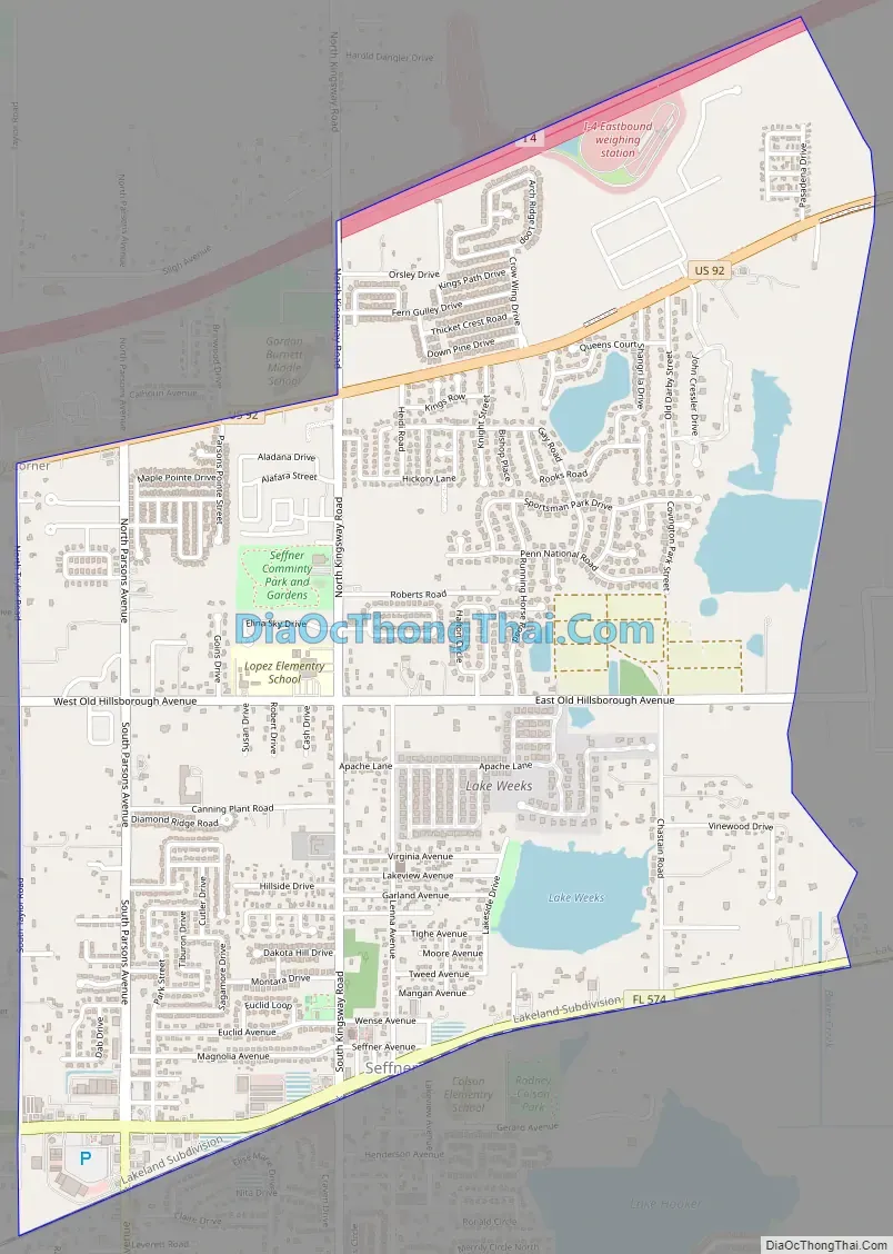
Seffner Road Map
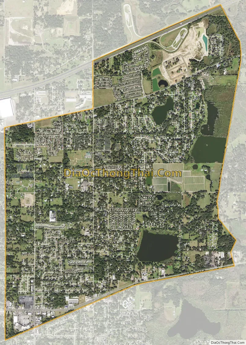
Seffner city Satellite Map
Geography
Seffner is located northeast of the center of Hillsborough County and is bordered by Thonotosassa to the north, Mango to the west, and Brandon to the south. Interstate 4 is the northern boundary of the CDP, and the southern boundary follows State Road 574 (Dr. Martin Luther King Jr. Boulevard). Plant City is 10 miles (16 km) to the east.
The Seffner CDP has a total area of 3.8 square miles (9.8 km), of which 3.6 square miles (9.3 km) are land and 0.2 square miles (0.5 km), or 5.34%, are water, according to the United States Census Bureau.
See also
Map of Florida State and its subdivision:- Alachua
- Baker
- Bay
- Bradford
- Brevard
- Broward
- Calhoun
- Charlotte
- Citrus
- Clay
- Collier
- Columbia
- Desoto
- Dixie
- Duval
- Escambia
- Flagler
- Franklin
- Gadsden
- Gilchrist
- Glades
- Gulf
- Hamilton
- Hardee
- Hendry
- Hernando
- Highlands
- Hillsborough
- Holmes
- Indian River
- Jackson
- Jefferson
- Lafayette
- Lake
- Lee
- Leon
- Levy
- Liberty
- Madison
- Manatee
- Marion
- Martin
- Miami-Dade
- Monroe
- Nassau
- Okaloosa
- Okeechobee
- Orange
- Osceola
- Palm Beach
- Pasco
- Pinellas
- Polk
- Putnam
- Saint Johns
- Saint Lucie
- Santa Rosa
- Sarasota
- Seminole
- Sumter
- Suwannee
- Taylor
- Union
- Volusia
- Wakulla
- Walton
- Washington
- Alabama
- Alaska
- Arizona
- Arkansas
- California
- Colorado
- Connecticut
- Delaware
- District of Columbia
- Florida
- Georgia
- Hawaii
- Idaho
- Illinois
- Indiana
- Iowa
- Kansas
- Kentucky
- Louisiana
- Maine
- Maryland
- Massachusetts
- Michigan
- Minnesota
- Mississippi
- Missouri
- Montana
- Nebraska
- Nevada
- New Hampshire
- New Jersey
- New Mexico
- New York
- North Carolina
- North Dakota
- Ohio
- Oklahoma
- Oregon
- Pennsylvania
- Rhode Island
- South Carolina
- South Dakota
- Tennessee
- Texas
- Utah
- Vermont
- Virginia
- Washington
- West Virginia
- Wisconsin
- Wyoming


