Stock Island is a census-designated place (CDP) and unincorporated community on an island of the same name in Monroe County, Florida, United States. The population of the CDP was 4,722 at the 2020 census, up from 3,919 in 2010. It is located on the portion of the island south of US 1. It is supposedly named for the herds of livestock formerly kept there. Alternatively, some local historians suggest that it may be named for an early settler.
| Name: | Stock Island CDP |
|---|---|
| LSAD Code: | 57 |
| LSAD Description: | CDP (suffix) |
| State: | Florida |
| County: | Monroe County |
| Elevation: | 3 ft (1 m) |
| Total Area: | 2.10 sq mi (5.45 km²) |
| Land Area: | 0.84 sq mi (2.17 km²) |
| Water Area: | 1.27 sq mi (3.28 km²) |
| Total Population: | 4,722 |
| Population Density: | 5,641.58/sq mi (2,179.22/km²) |
| ZIP code: | 33040-33041 (Key West) |
| Area code: | 305 |
| FIPS code: | 1268800 |
| GNISfeature ID: | 1867211 |
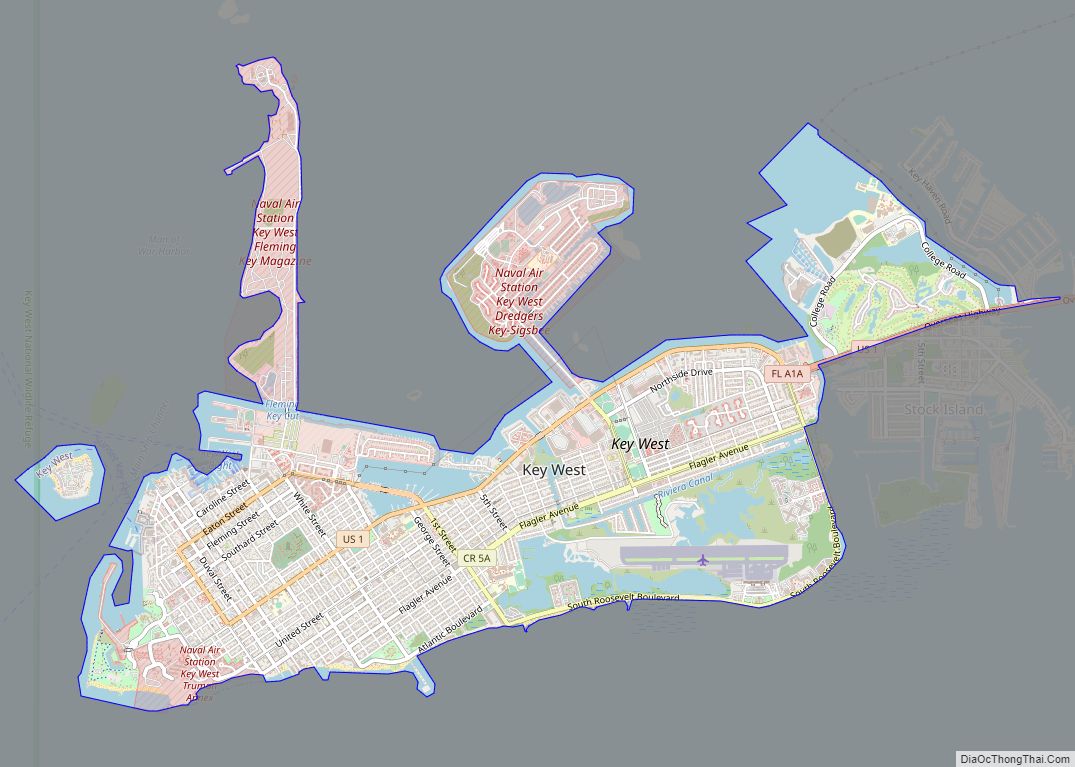
Online Interactive Map
Click on ![]() to view map in "full screen" mode.
to view map in "full screen" mode.
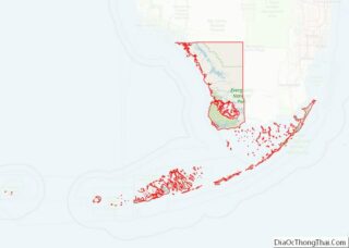
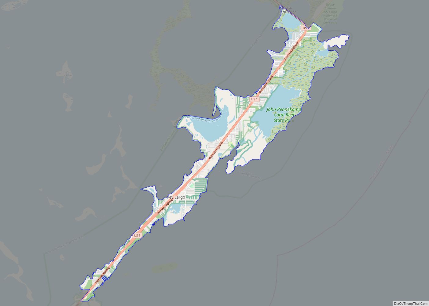
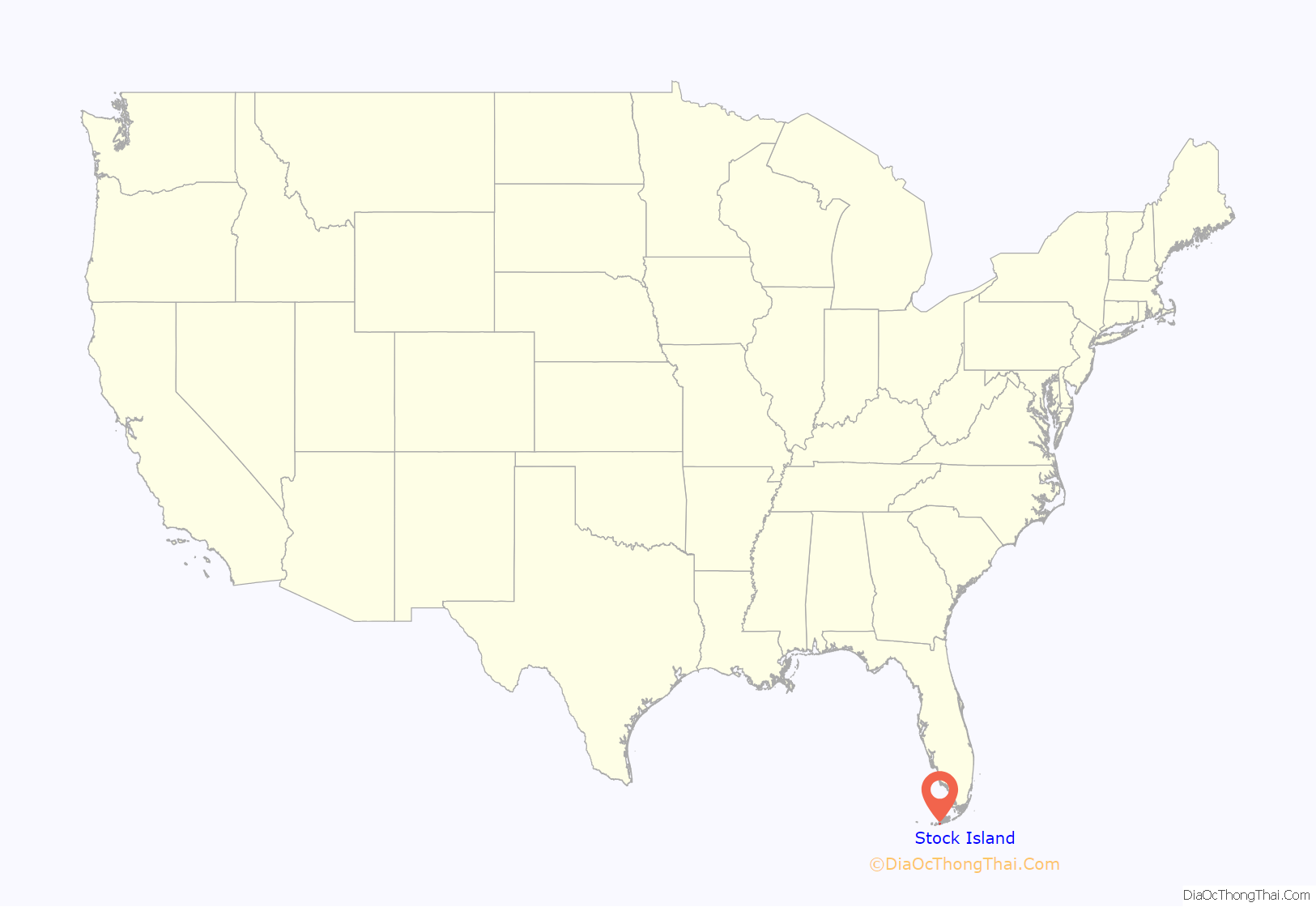
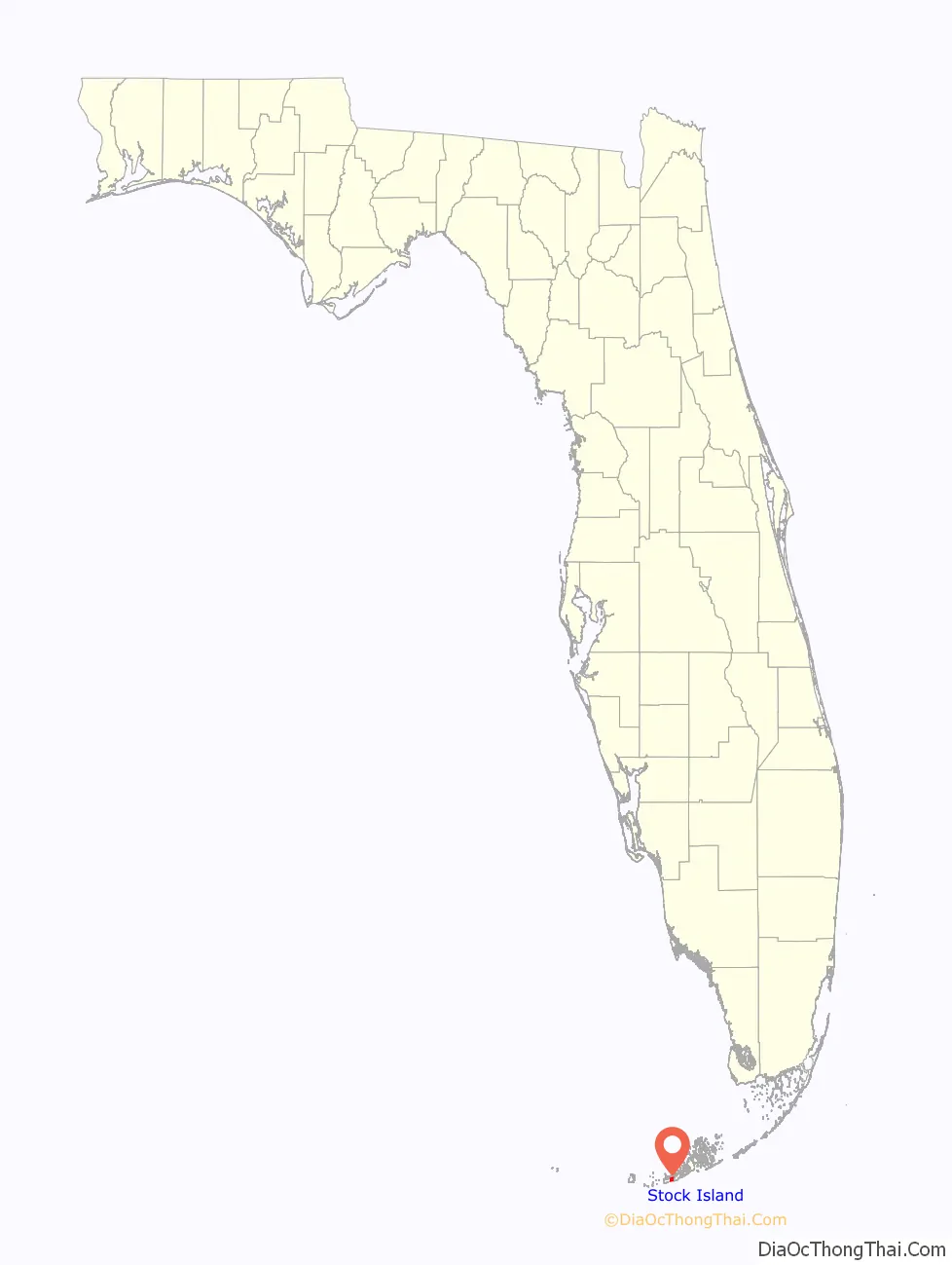
Stock Island location map. Where is Stock Island CDP?
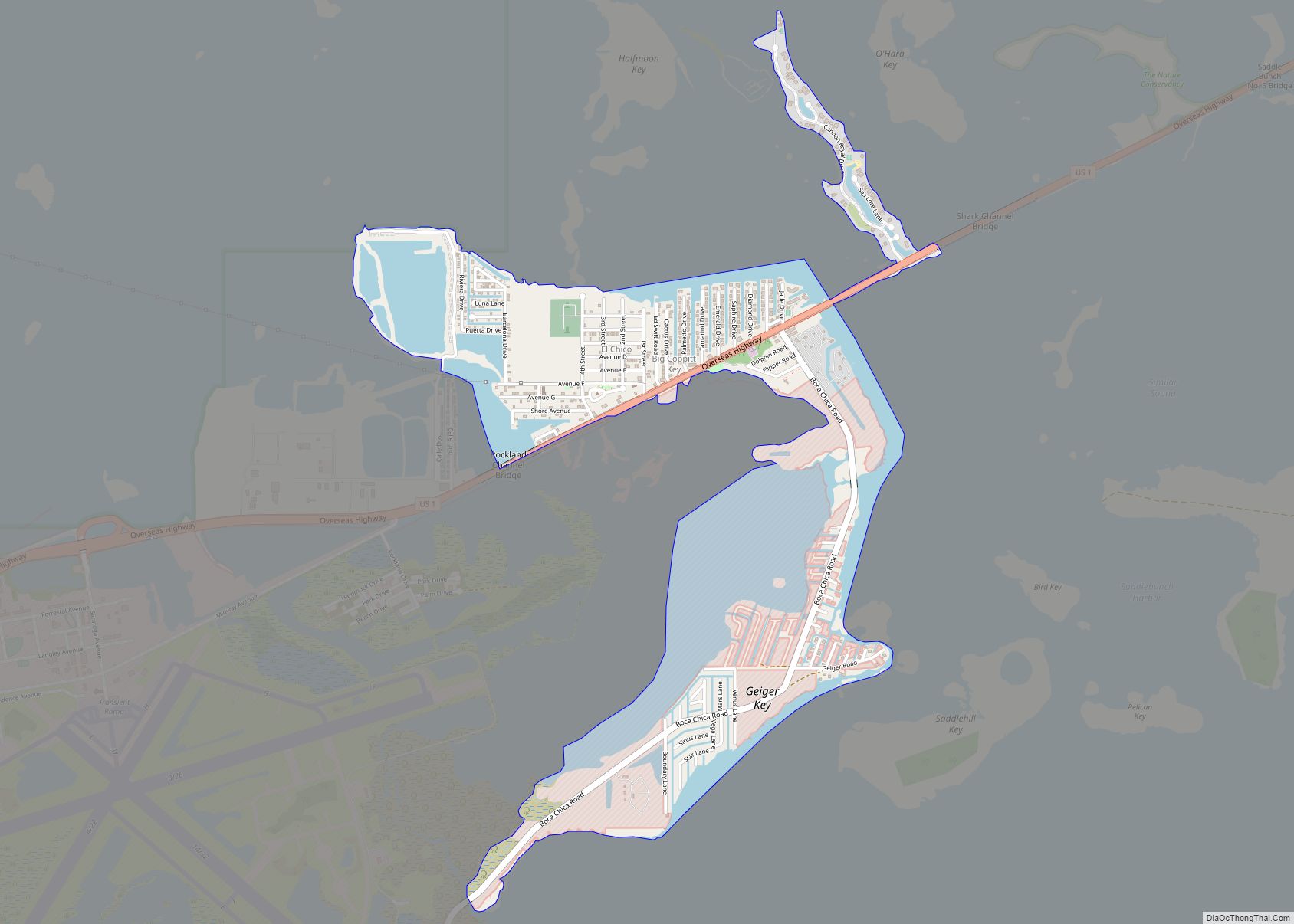
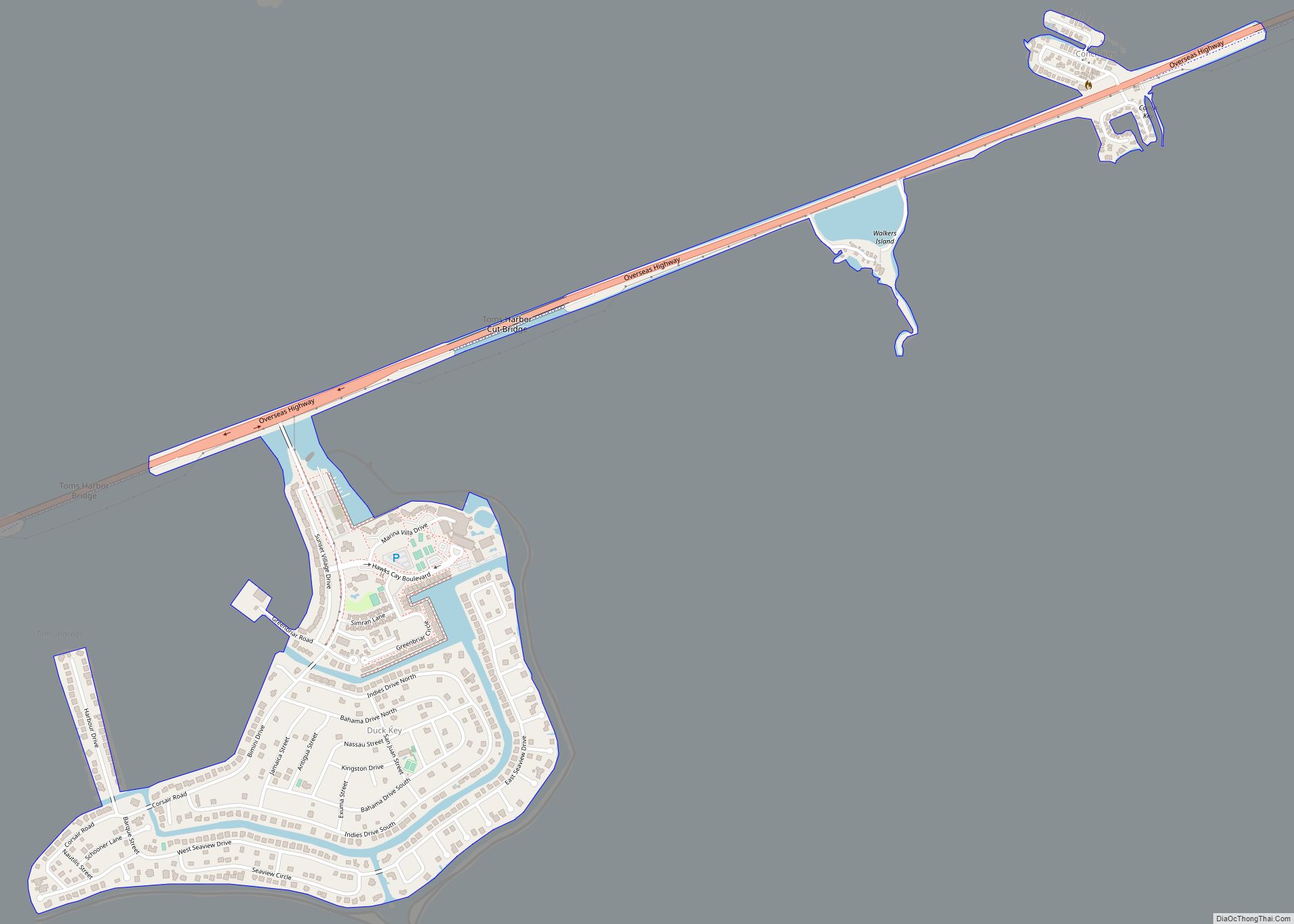
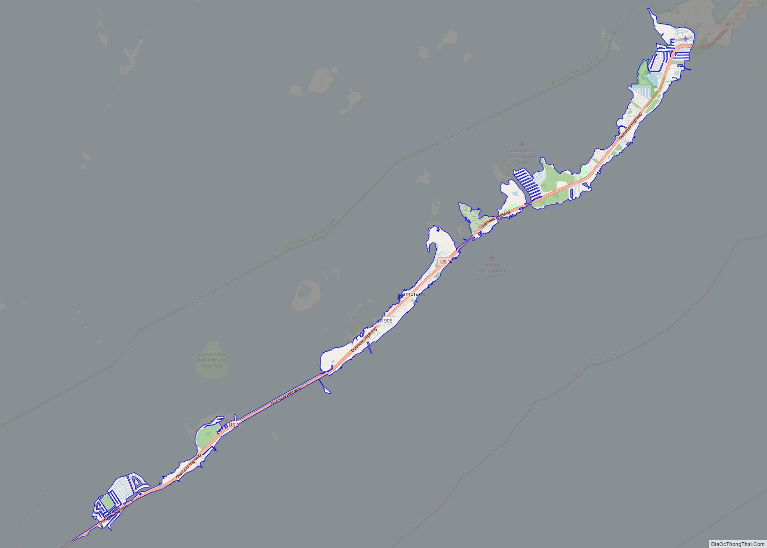
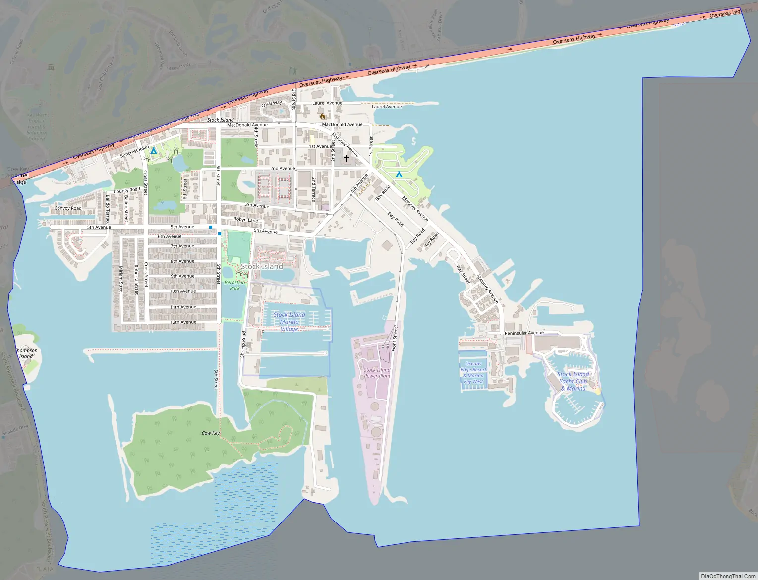
Stock Island Road Map
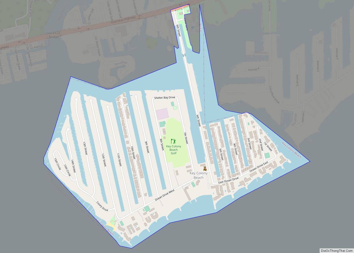
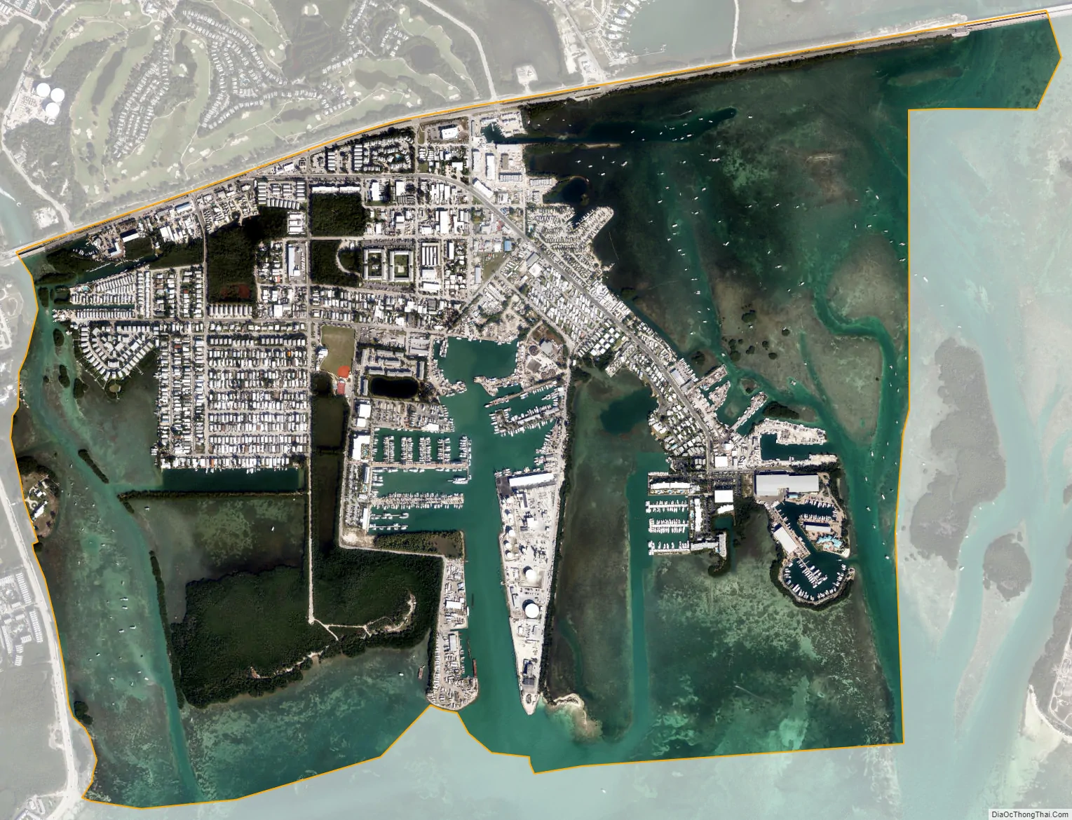
Stock Island city Satellite Map
Geography
Stock Island is located at 24°34′12″N 81°44′15″W / 24.57000°N 81.73750°W / 24.57000; -81.73750 (24.570075, -81.737376).
US 1 (or the Overseas Highway) crosses the key at approximately mile markers 4–6, immediately east of Key West.
According to the United States Census Bureau, the CDP has a total area of 2.1 square miles (5.4 km), of which 0.8 square miles (2.1 km) are land and 1.3 square miles (3.4 km), or 60.24%, are water.
See also
Map of Florida State and its subdivision:- Alachua
- Baker
- Bay
- Bradford
- Brevard
- Broward
- Calhoun
- Charlotte
- Citrus
- Clay
- Collier
- Columbia
- Desoto
- Dixie
- Duval
- Escambia
- Flagler
- Franklin
- Gadsden
- Gilchrist
- Glades
- Gulf
- Hamilton
- Hardee
- Hendry
- Hernando
- Highlands
- Hillsborough
- Holmes
- Indian River
- Jackson
- Jefferson
- Lafayette
- Lake
- Lee
- Leon
- Levy
- Liberty
- Madison
- Manatee
- Marion
- Martin
- Miami-Dade
- Monroe
- Nassau
- Okaloosa
- Okeechobee
- Orange
- Osceola
- Palm Beach
- Pasco
- Pinellas
- Polk
- Putnam
- Saint Johns
- Saint Lucie
- Santa Rosa
- Sarasota
- Seminole
- Sumter
- Suwannee
- Taylor
- Union
- Volusia
- Wakulla
- Walton
- Washington
- Alabama
- Alaska
- Arizona
- Arkansas
- California
- Colorado
- Connecticut
- Delaware
- District of Columbia
- Florida
- Georgia
- Hawaii
- Idaho
- Illinois
- Indiana
- Iowa
- Kansas
- Kentucky
- Louisiana
- Maine
- Maryland
- Massachusetts
- Michigan
- Minnesota
- Mississippi
- Missouri
- Montana
- Nebraska
- Nevada
- New Hampshire
- New Jersey
- New Mexico
- New York
- North Carolina
- North Dakota
- Ohio
- Oklahoma
- Oregon
- Pennsylvania
- Rhode Island
- South Carolina
- South Dakota
- Tennessee
- Texas
- Utah
- Vermont
- Virginia
- Washington
- West Virginia
- Wisconsin
- Wyoming