Venice is a city in Sarasota County, Florida, United States. The city includes what locals call “Venice Island”, a portion of the mainland that is accessed via bridges over the artificially created Intracoastal Waterway. The city is located in Southwest Florida. As of the 2020 Census, the city had a population of 25,463. Venice is part of the North Port–Sarasota–Bradenton metropolitan statistical area.
| Name: | Venice city |
|---|---|
| LSAD Code: | 25 |
| LSAD Description: | city (suffix) |
| State: | Florida |
| County: | Sarasota County |
| Incorporated: | May 9, 1927, by the Brotherhood of Locomotive Engineers |
| Elevation: | 10 ft (3 m) |
| Land Area: | 16.13 sq mi (41.77 km²) |
| Water Area: | 1.65 sq mi (4.28 km²) |
| Population Density: | 1,578.71/sq mi (609.54/km²) |
| ZIP code: | 34284-34287, 34290-34293 |
| Area code: | 941 |
| FIPS code: | 1273900 |
| GNISfeature ID: | 0292749 |
| Website: | venicegov.com |
Online Interactive Map
Click on ![]() to view map in "full screen" mode.
to view map in "full screen" mode.
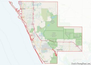
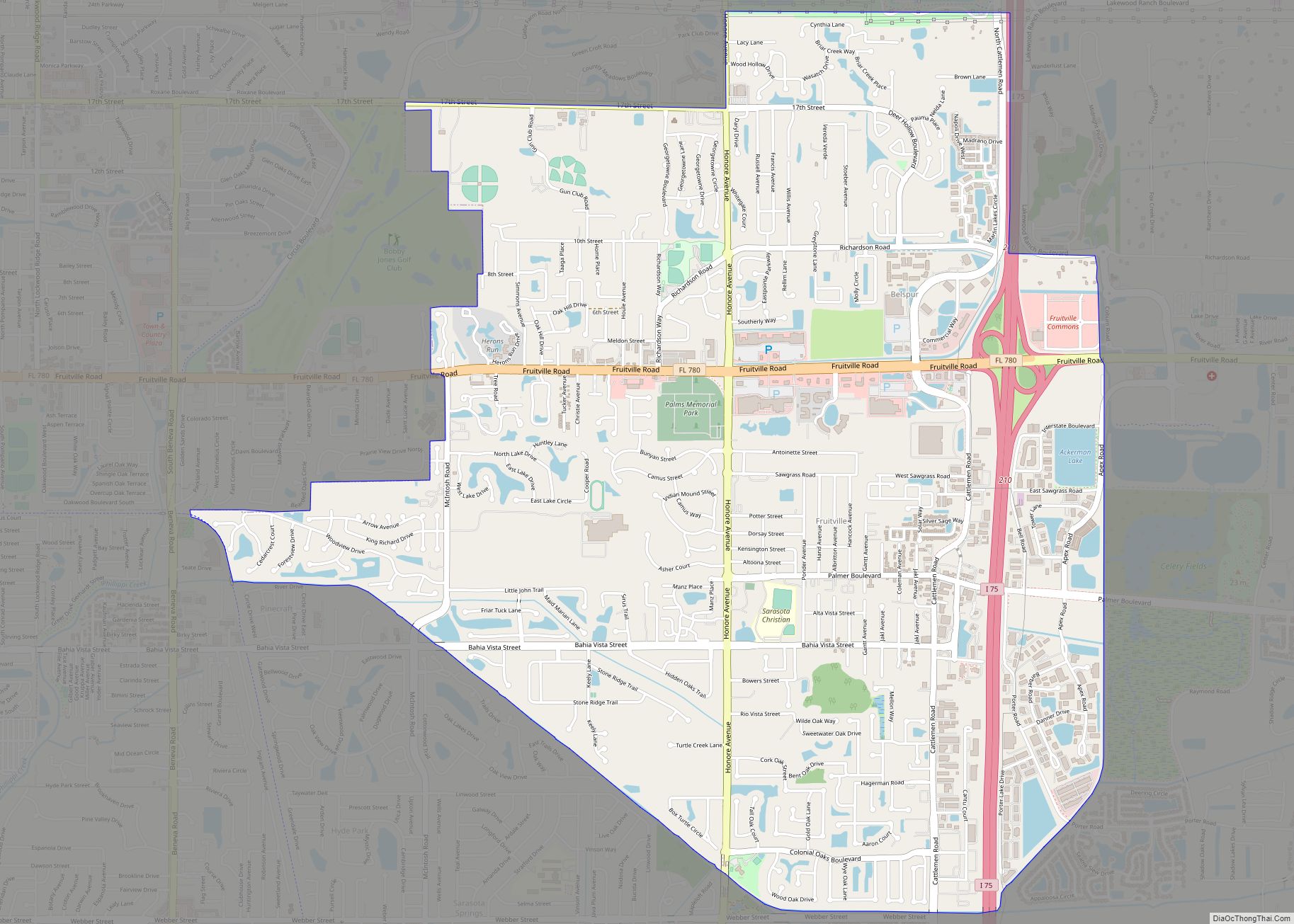
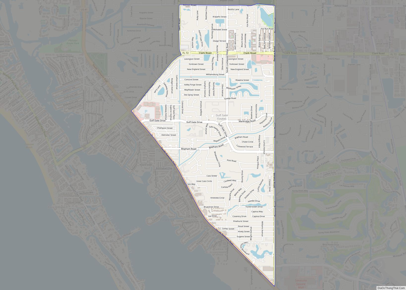
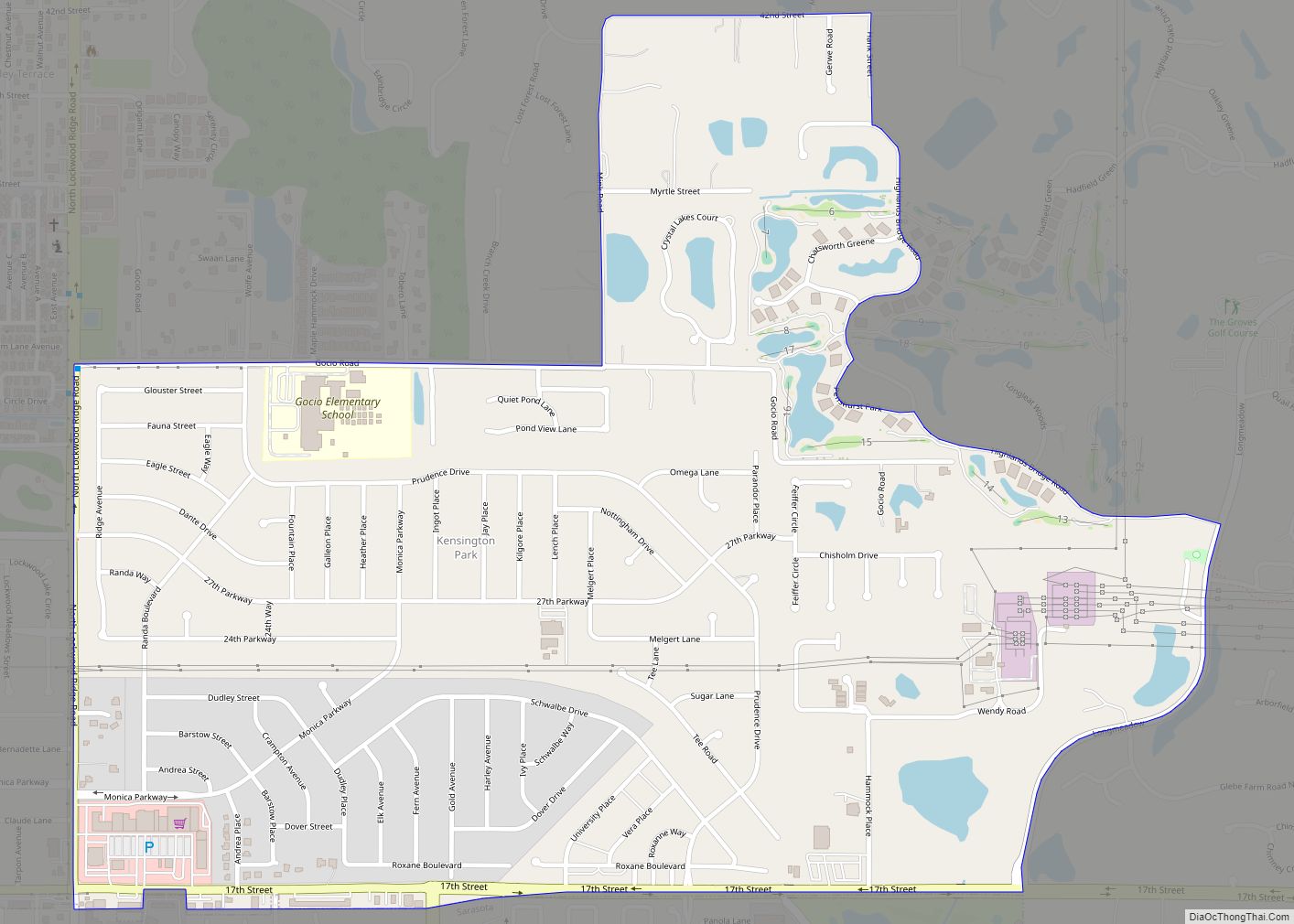
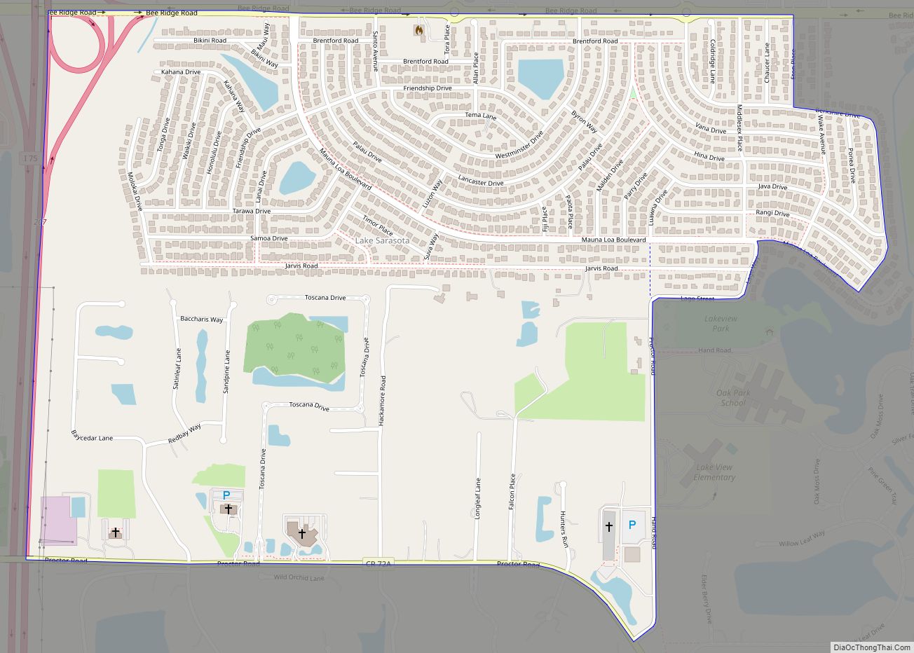
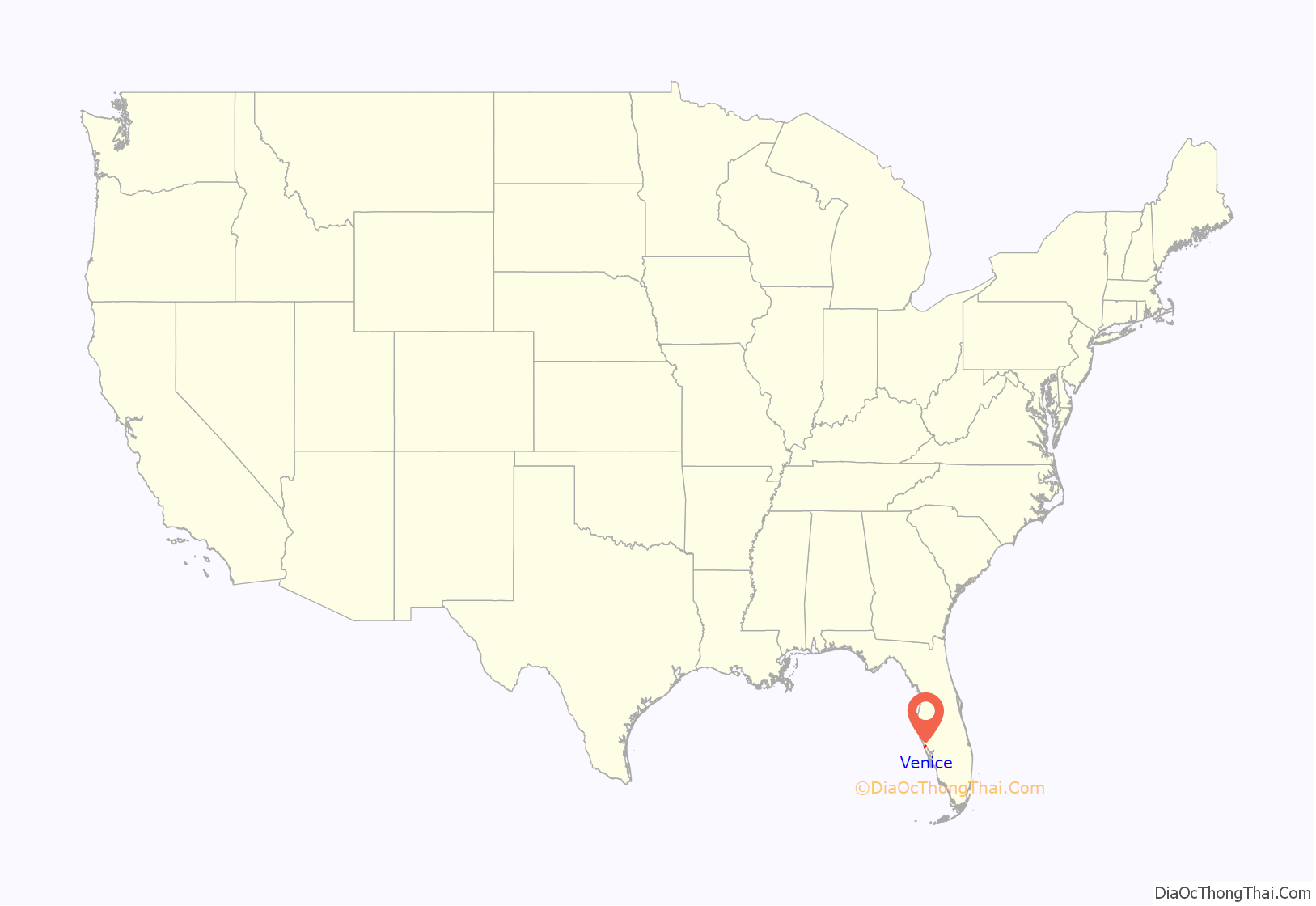
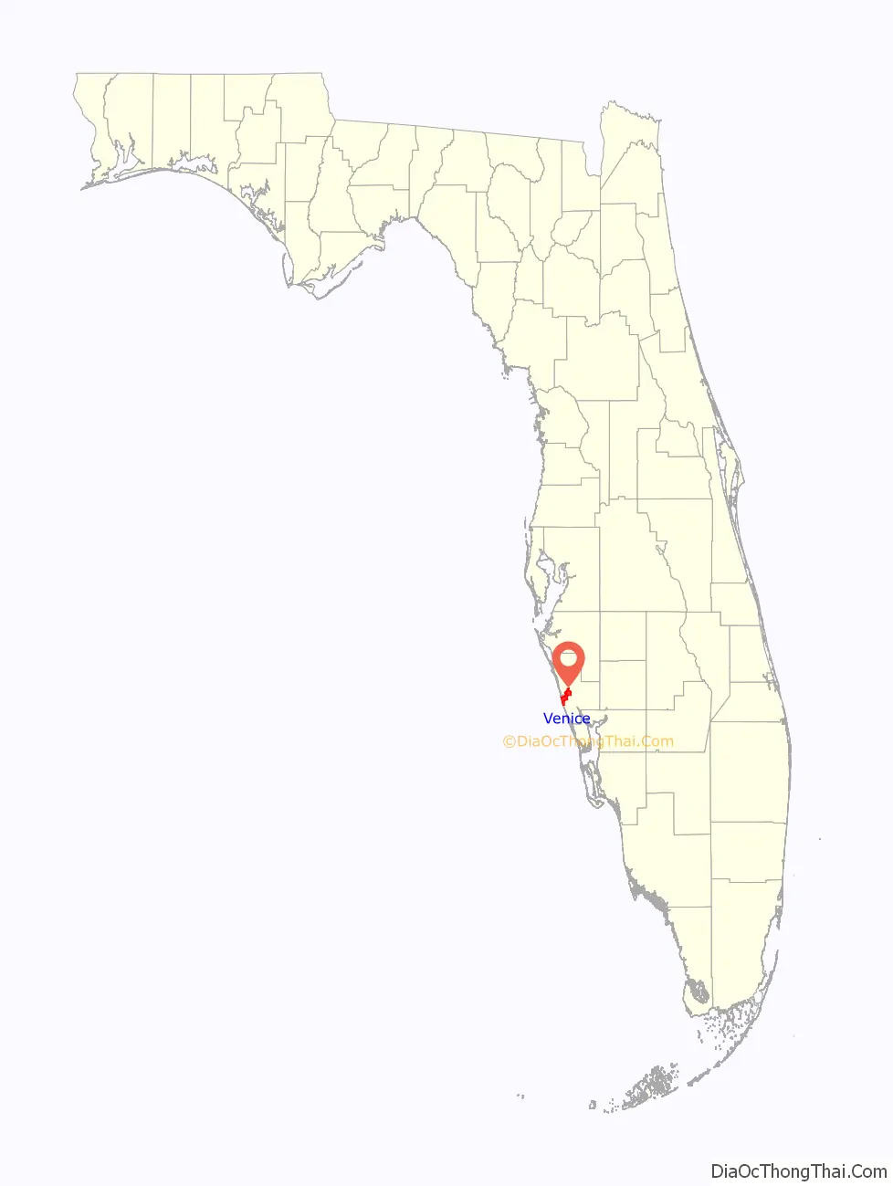
Venice location map. Where is Venice city?
History
The area that is now Venice was originally the home of Paleo-Indians, with evidence of their presence dating back to 8200 BCE. As thousands of years passed, and the climate changed and some of the Pleistocene animals that the Indians hunted became extinct, the descendents of the Paleo-Indians found new ways to create stone and bone weapons to cope with their changing environment. These descendents became known as the Archaic peoples. Evidence of their camps along with their stone tools were discovered in parts of Venice. Over several millennia the culture and people who lived in the area changed. The peoples who the Spanish encountered when they arrived in 1500s were mound-builders. Venice lay in a boundary area between two cultures, the Tocobaga and the Calusa, and so you can find evidence of each in the area.
The 1800s is when the area saw the first wave of “European” settlers. Venice was first known as Horse and Chaise because of a carriage-like tree formation that marked the spot for fishermen. In the 1870s, Robert Rickford Roberts established a homestead near a bay that bears his name today, Roberts Bay. Francis H. “Frank” Higel, originally from France, arrived in Venice in 1883 with his wife and six sons. He purchased land in the Roberts’ homestead for $2,500, equivalent to $73,000 in 2021, to set up his own homestead. Higel established a citrus operation involving the production of several lines of canned citrus items, such as jams, pickled orange peel, lemon juice, and orange wine. Higel established a post office in 1885 with the name Eyry as a service for the community’s thirty residents. In February he was appointed as postmaster but the office was shut down months later, in November 1885, with services moving back to Osprey. In 1888, another post office was established, this time with the name Venice, a name Higel himself suggested because of its likeness to the canal city in Italy.
During the Florida land boom of the 1920s, Fred H. Albee, an orthopedic surgeon renowned for his bone-grafting operations, bought 112 acres (45 ha) from Bertha Palmer to develop Venice. He hired John Nolen to plan the city and create a master plan for the streets. Albee sold the land to the Brotherhood of Locomotive Engineers and retained Nolen as city planner. The first portions of the city and infrastructure were constructed in 1925–1926.
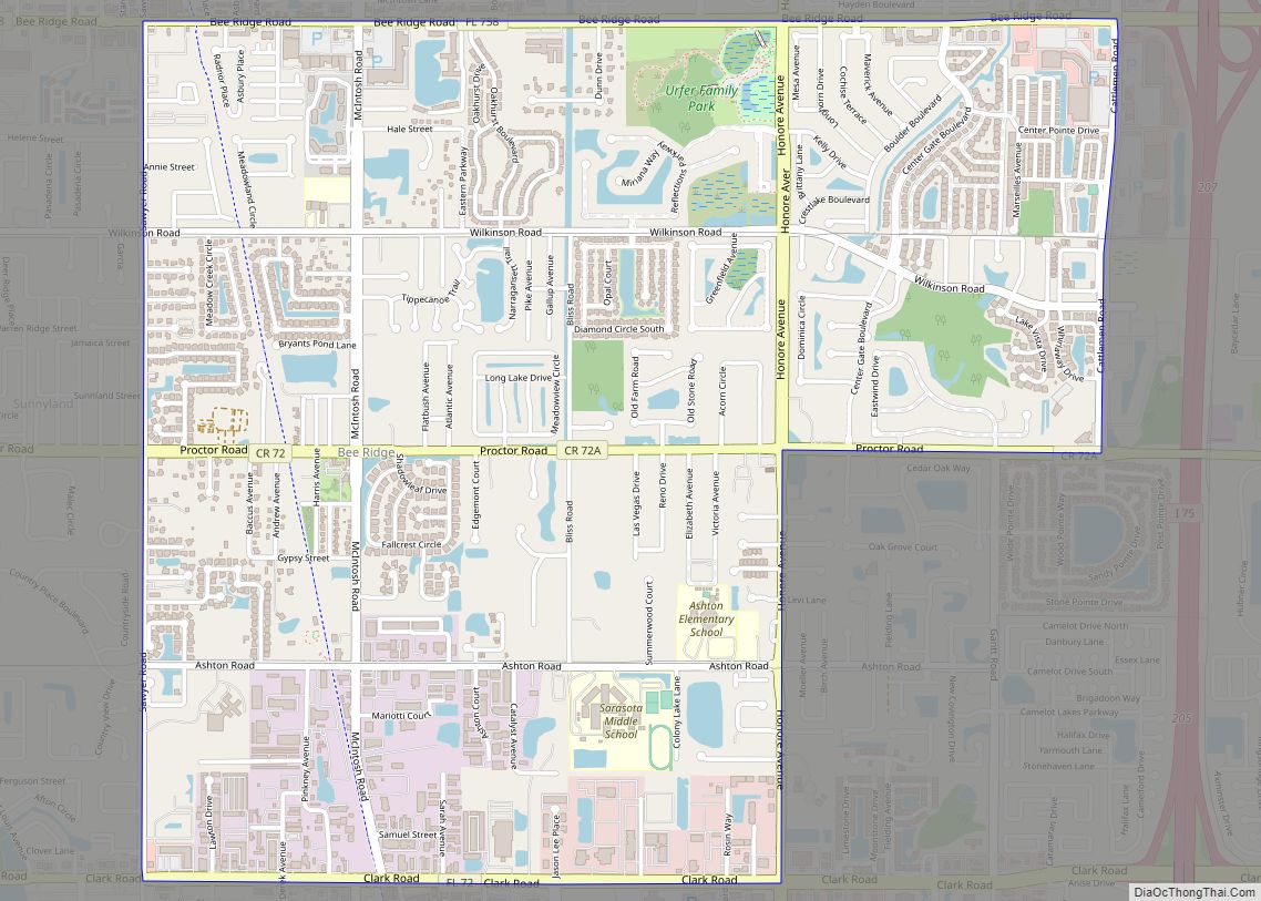
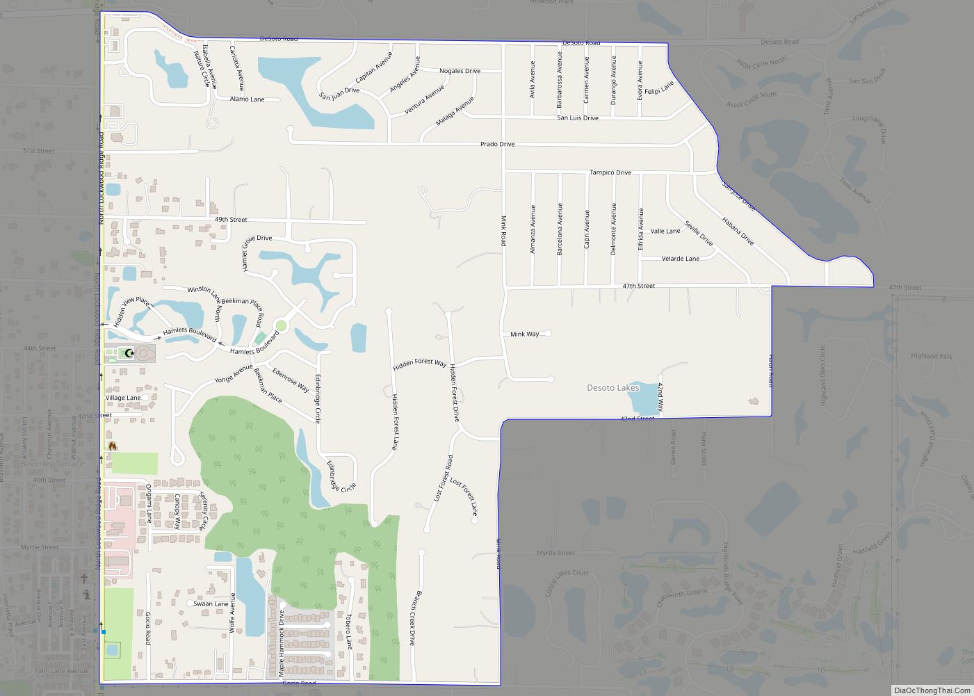
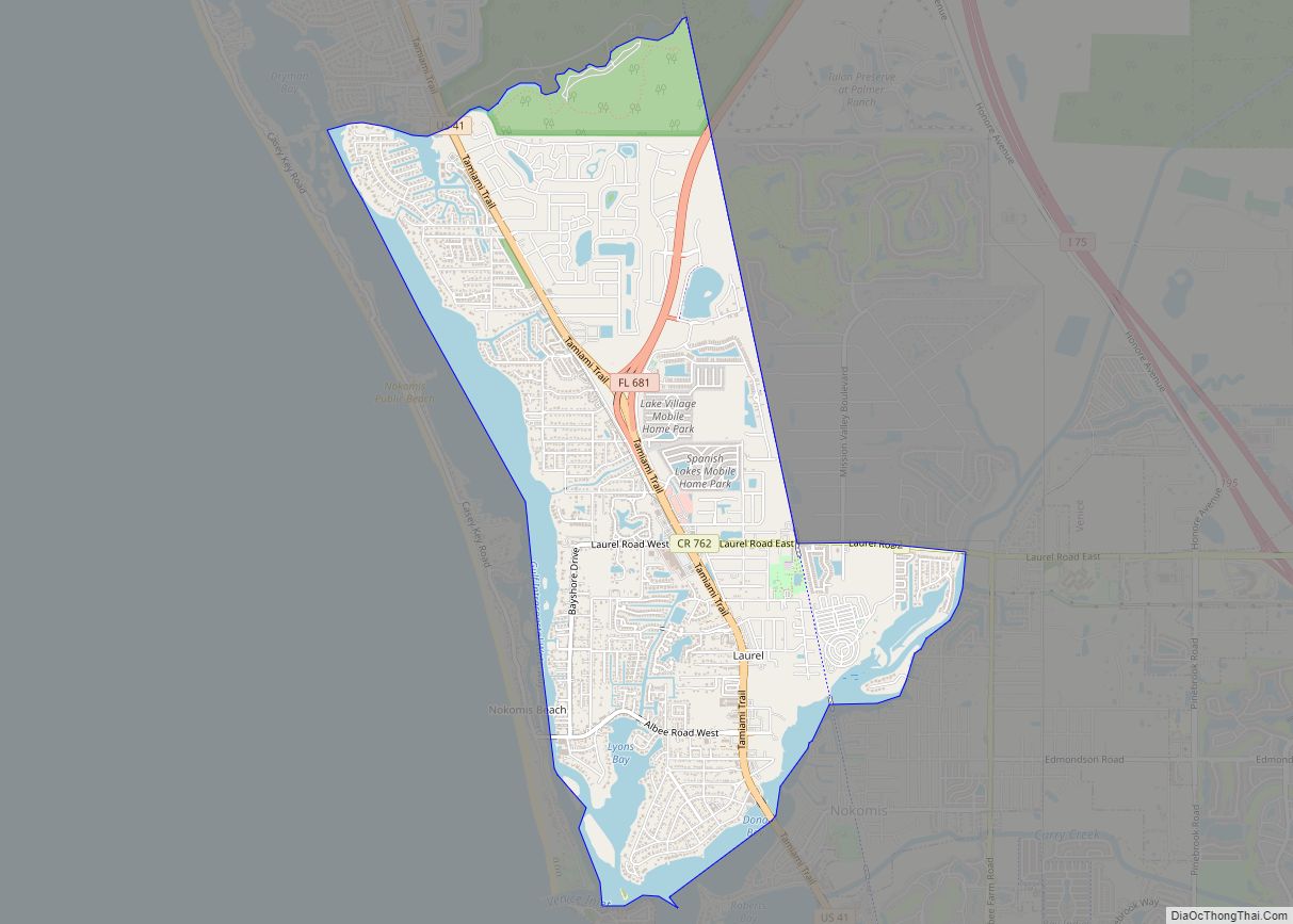
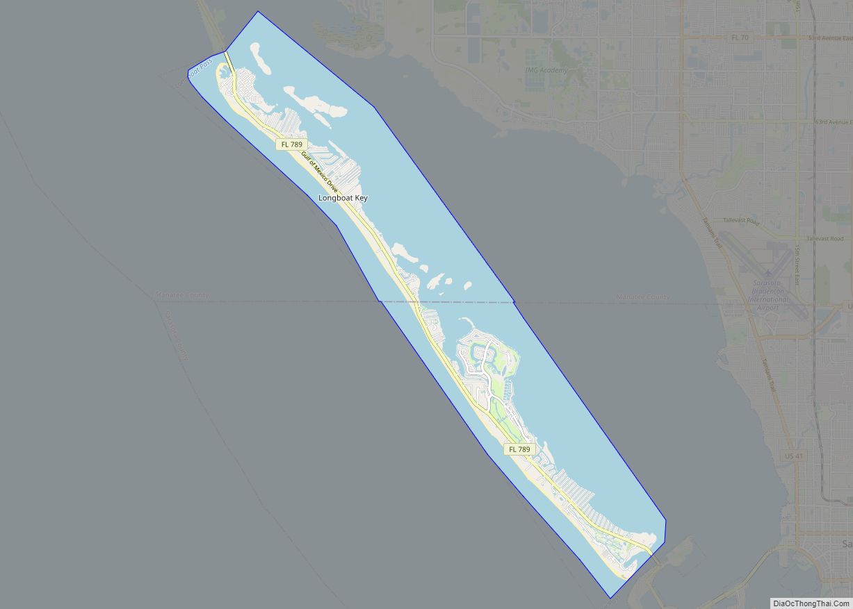
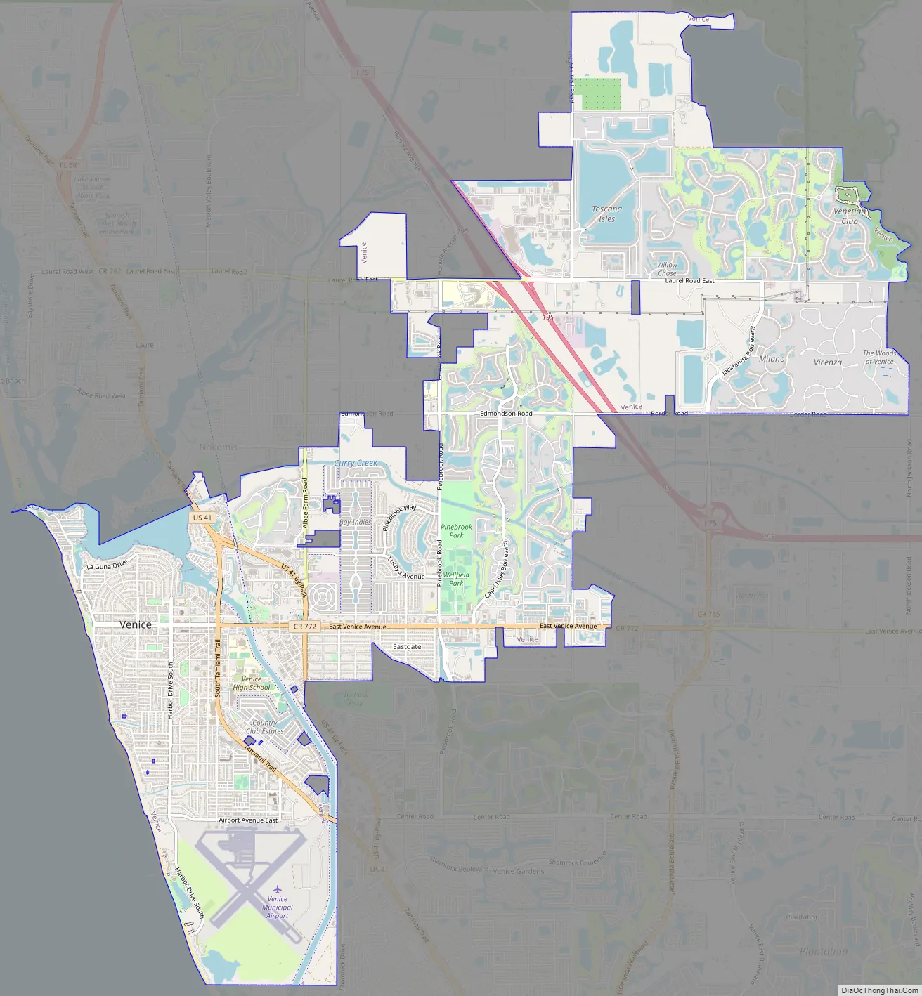
Venice Road Map
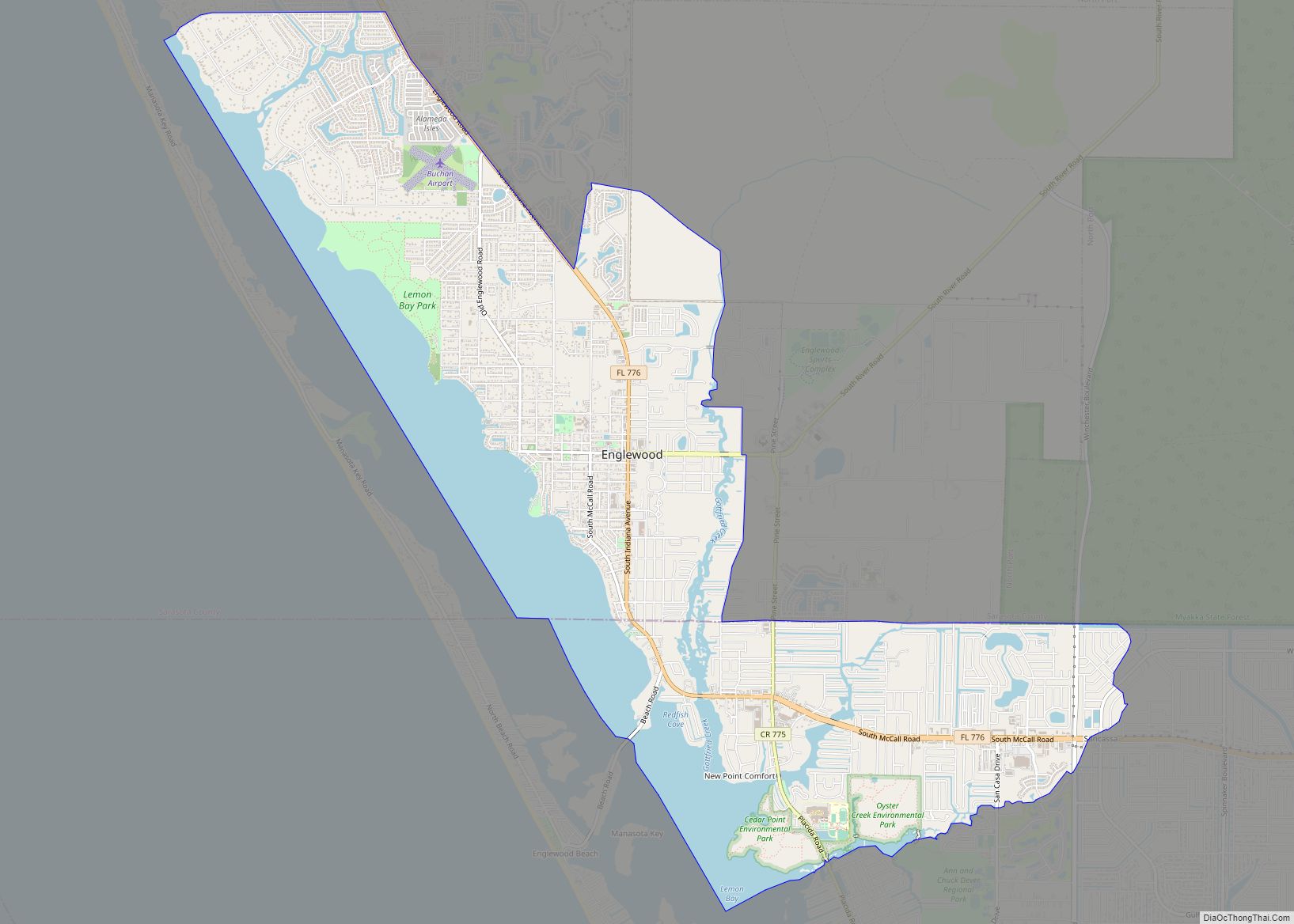
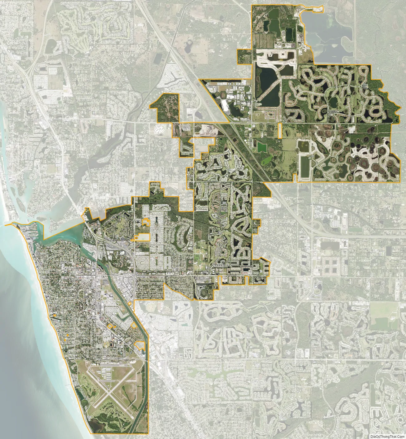
Venice city Satellite Map
Geography
According to the United States Census Bureau, the city has a total area of 16.6 square miles (43.1 km), of which 15.3 square miles (39.5 km) is land and 1.4 square miles (3.5 km), or 8.19%, is water. The climate of Venice is Humid Subtropical, bordering very closely on a Tropical Savanna climate and features pronounced wet and dry seasons.
Climate
See also
Map of Florida State and its subdivision:- Alachua
- Baker
- Bay
- Bradford
- Brevard
- Broward
- Calhoun
- Charlotte
- Citrus
- Clay
- Collier
- Columbia
- Desoto
- Dixie
- Duval
- Escambia
- Flagler
- Franklin
- Gadsden
- Gilchrist
- Glades
- Gulf
- Hamilton
- Hardee
- Hendry
- Hernando
- Highlands
- Hillsborough
- Holmes
- Indian River
- Jackson
- Jefferson
- Lafayette
- Lake
- Lee
- Leon
- Levy
- Liberty
- Madison
- Manatee
- Marion
- Martin
- Miami-Dade
- Monroe
- Nassau
- Okaloosa
- Okeechobee
- Orange
- Osceola
- Palm Beach
- Pasco
- Pinellas
- Polk
- Putnam
- Saint Johns
- Saint Lucie
- Santa Rosa
- Sarasota
- Seminole
- Sumter
- Suwannee
- Taylor
- Union
- Volusia
- Wakulla
- Walton
- Washington
- Alabama
- Alaska
- Arizona
- Arkansas
- California
- Colorado
- Connecticut
- Delaware
- District of Columbia
- Florida
- Georgia
- Hawaii
- Idaho
- Illinois
- Indiana
- Iowa
- Kansas
- Kentucky
- Louisiana
- Maine
- Maryland
- Massachusetts
- Michigan
- Minnesota
- Mississippi
- Missouri
- Montana
- Nebraska
- Nevada
- New Hampshire
- New Jersey
- New Mexico
- New York
- North Carolina
- North Dakota
- Ohio
- Oklahoma
- Oregon
- Pennsylvania
- Rhode Island
- South Carolina
- South Dakota
- Tennessee
- Texas
- Utah
- Vermont
- Virginia
- Washington
- West Virginia
- Wisconsin
- Wyoming