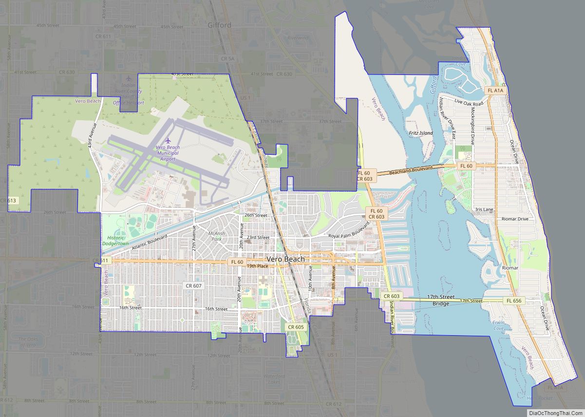
Vero Beach is a city and the county seat of Indian River County, Florida, United States. After Sebastian, Vero Beach is the second most populous city in Indian River County. Abundant in beaches and wildlife, Vero Beach is located on Florida’s Treasure Coast. It is thirty-four miles south of Melbourne. According to the U.S. Census Bureau’s 2010 data, the city had a population of 15,220.
| Name: | Vero Beach city |
|---|---|
| LSAD Code: | 25 |
| LSAD Description: | city (suffix) |
| State: | Florida |
| County: | Indian River County |
| Elevation: | 13 ft (4 m) |
| Land Area: | 11.50 sq mi (29.78 km²) |
| Water Area: | 1.91 sq mi (4.93 km²) 14.31% |
| Population Density: | 1,422.21/sq mi (549.10/km²) |
| ZIP code: | 32960 thru 32969 |
| Area code: | 772 |
| FIPS code: | 1274150 |
| GNISfeature ID: | 0292760 |
| Website: | http://www.covb.org |
Online Interactive Map
Click on ![]() to view map in "full screen" mode.
to view map in "full screen" mode.
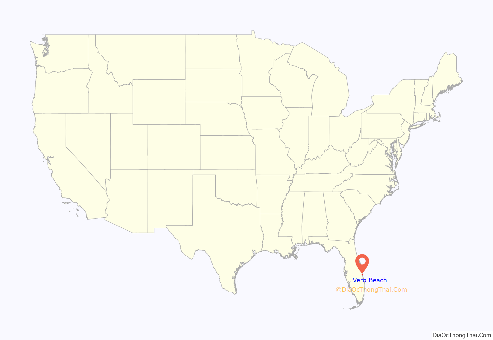
Vero Beach location map. Where is Vero Beach city?
History
Pre-Columbian
Parts of a human skeleton were found north of Vero in association with the remains of Pleistocene animals in 1915. The find was controversial, and the view that the human remains dated from much later than the Pleistocene prevailed for many years. In 2006, an image of a mastodon or mammoth carved on a bone was found in vicinity of the Vero man discovery. A scientific forensic examination of the bone found the carving had probably been done in the Pleistocene. Archaeologists from Mercyhurst University, in conjunction with the Old Vero Ice Age Sites Committee (OVIASC), conducted excavations at the Old Vero Man site in Vero Beach in 2014–2015. Starting in 2016, archaeologists from Florida Atlantic University joined the Old Vero Man site excavations.
Post-Columbian
In 1715, a Spanish treasure fleet wrecked off the coast of Vero. Eleven out of twelve Spanish ships carrying tonnes of silver foundered in a hurricane. The remains of the silver attracted pirates. A group of 300 unemployed English privateers led by Henry Jennings stole about £87,500 in gold and silver in their first acts of piracy. The coins still wash to the shore to this day.
In 1872, Captain Allen W. Estes officially established the first land patent between the Atlantic Ocean and the Indian River Lagoon, after settling in the area in 1870.
In 1893, Henry Flagler’s Florida East Coast Railway began operation through the area.
The town of Vero was chartered on June 13, 1919.
Vero was officially renamed “Vero Beach” and was switched from being part of St. Lucie County to become the county seat of Indian River County when it was formed in June, 1925. There are many theories on possible origin of the city name, but there’s no consensus. Early residential construction in the area often utilized Florida cracker architecture style.
During the war year of 1942, the U.S. Navy selected 1,500 acres (6.1 km) surrounding the Vero Beach Municipal Airport as the site of Fort Pierce Naval Amphibious Training Base, a Naval Air Station. Due to the bombing practices conducted during the WWII, there are many buried explosives and the Army Corps officials have conducted ongoing search & clearing exercises for the potentially dangerous items since 2014.
In 1951, Barber Bridge was built from mainland to barrier islands. It was later demolished and replaced in 1995 with the Merrill P. Barber Bridge. It is named after Merrill P. Barber who was the mayor of Vero beach in 1947.
In 1957, Piper Aircraft began research and development in Vero Beach. In 1961 Piper Aircraft moved administrative and manufacturing operations to Vero after completing building additions.
In 1965, the A1A bridge over the Sebastian Inlet connected the two barrier islands. In 1979, the 17th Street Bridge was completed, allowing a second point of access from Vero Beach mainland to the barrier islands.
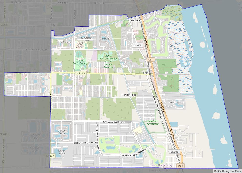
Vero Beach Road Map
Vero Beach city Satellite Map
Geography
Climate
Vero Beach has a humid subtropical climate, with hot and humid summers and warm, drier winters.
See also
Map of Florida State and its subdivision:- Alachua
- Baker
- Bay
- Bradford
- Brevard
- Broward
- Calhoun
- Charlotte
- Citrus
- Clay
- Collier
- Columbia
- Desoto
- Dixie
- Duval
- Escambia
- Flagler
- Franklin
- Gadsden
- Gilchrist
- Glades
- Gulf
- Hamilton
- Hardee
- Hendry
- Hernando
- Highlands
- Hillsborough
- Holmes
- Indian River
- Jackson
- Jefferson
- Lafayette
- Lake
- Lee
- Leon
- Levy
- Liberty
- Madison
- Manatee
- Marion
- Martin
- Miami-Dade
- Monroe
- Nassau
- Okaloosa
- Okeechobee
- Orange
- Osceola
- Palm Beach
- Pasco
- Pinellas
- Polk
- Putnam
- Saint Johns
- Saint Lucie
- Santa Rosa
- Sarasota
- Seminole
- Sumter
- Suwannee
- Taylor
- Union
- Volusia
- Wakulla
- Walton
- Washington
- Alabama
- Alaska
- Arizona
- Arkansas
- California
- Colorado
- Connecticut
- Delaware
- District of Columbia
- Florida
- Georgia
- Hawaii
- Idaho
- Illinois
- Indiana
- Iowa
- Kansas
- Kentucky
- Louisiana
- Maine
- Maryland
- Massachusetts
- Michigan
- Minnesota
- Mississippi
- Missouri
- Montana
- Nebraska
- Nevada
- New Hampshire
- New Jersey
- New Mexico
- New York
- North Carolina
- North Dakota
- Ohio
- Oklahoma
- Oregon
- Pennsylvania
- Rhode Island
- South Carolina
- South Dakota
- Tennessee
- Texas
- Utah
- Vermont
- Virginia
- Washington
- West Virginia
- Wisconsin
- Wyoming
