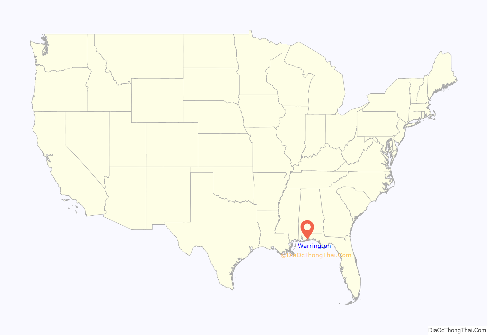
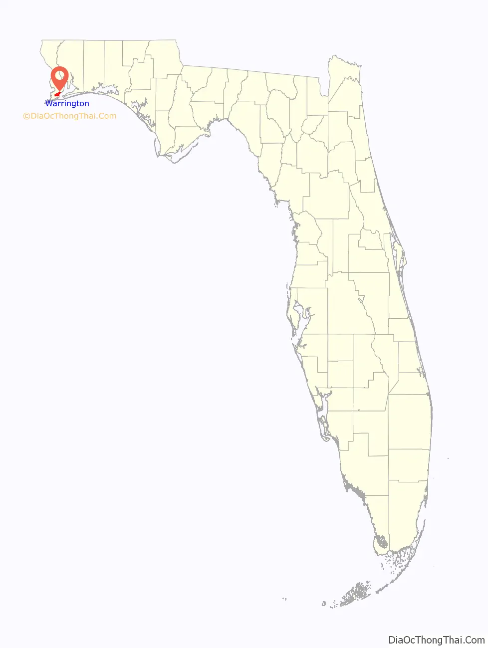
Warrington is a census-designated place (CDP) in Escambia County, Florida, United States. Warrington is located between downtown Pensacola and the state line with Alabama; it is 6 miles (10 km) away from both.
The population was 14,531 at the 2010 census. It is part of the Pensacola–Ferry Pass–Brent Metropolitan Statistical Area.
A failed referendum was held in 1975 to incorporate Warrington as a town. Despite falling outside of city limits and having a post office explicitly named “Warrington”, mail going to the addresses in the Warrington ZIP code (32507) falls under the jurisdiction of Pensacola.
Naval Air Station Pensacola is located in Warrington (albeit with their own ZIP code, 32508, which corresponds to the mailing city “Naval Air Station Pensacola, FL”).
| Name: | Warrington CDP |
|---|---|
| LSAD Code: | 57 |
| LSAD Description: | CDP (suffix) |
| State: | Florida |
| County: | Escambia County |
| Elevation: | 52 ft (16 m) |
| Total Area: | 8.02 sq mi (20.76 km²) |
| Land Area: | 6.93 sq mi (17.95 km²) |
| Water Area: | 1.08 sq mi (2.81 km²) |
| Total Population: | 15,218 |
| Population Density: | 2,195.64/sq mi (847.69/km²) |
| FIPS code: | 1275200 |
| GNISfeature ID: | 0292895 |
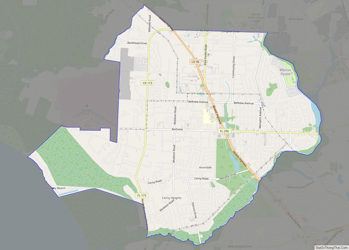
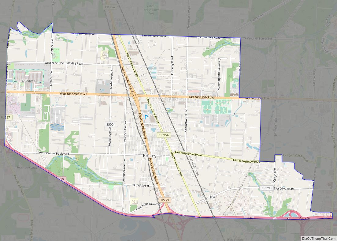
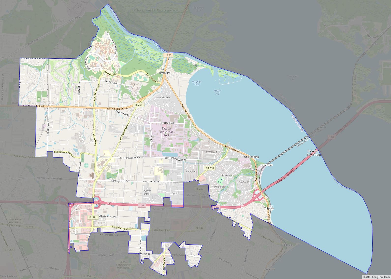
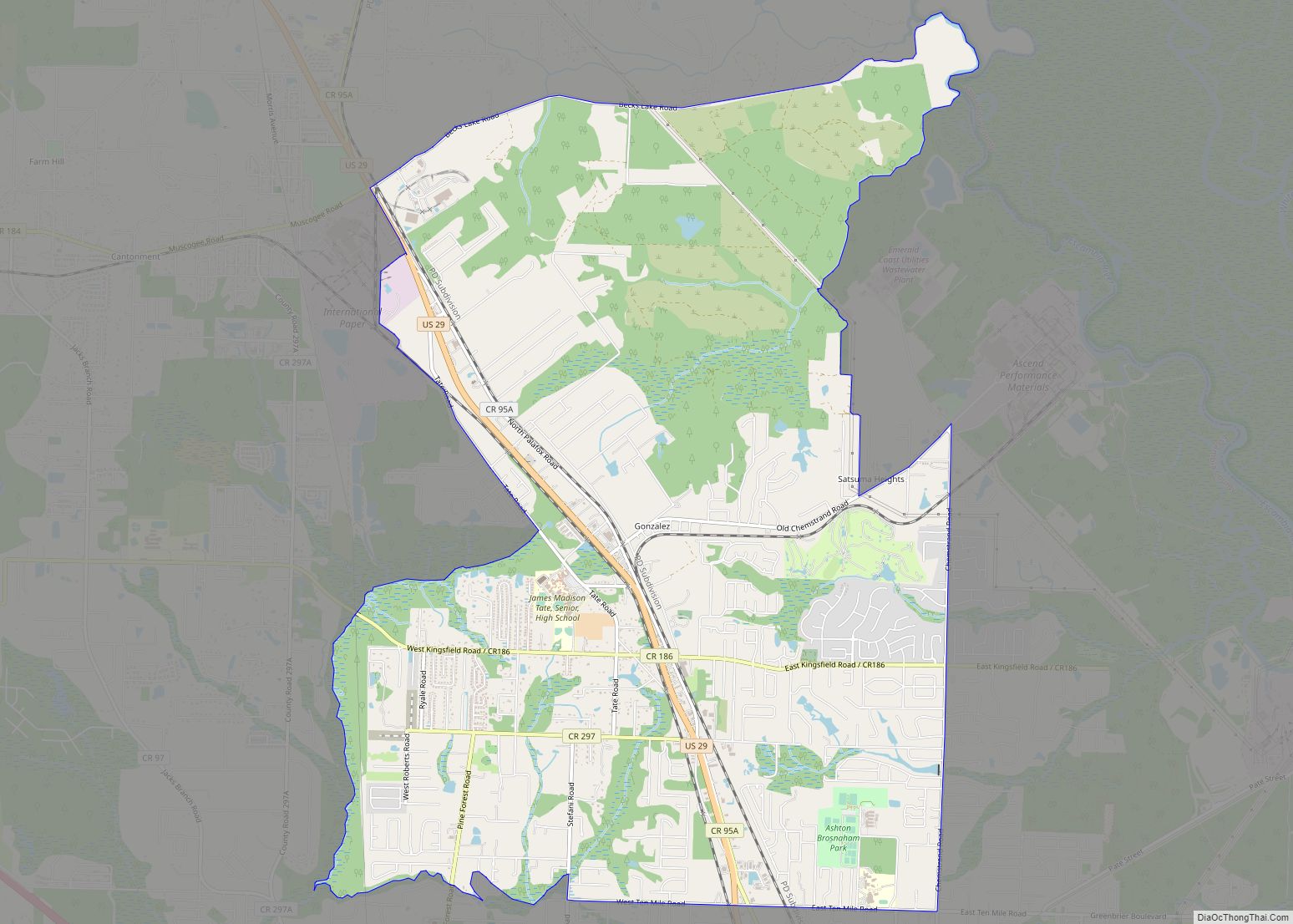
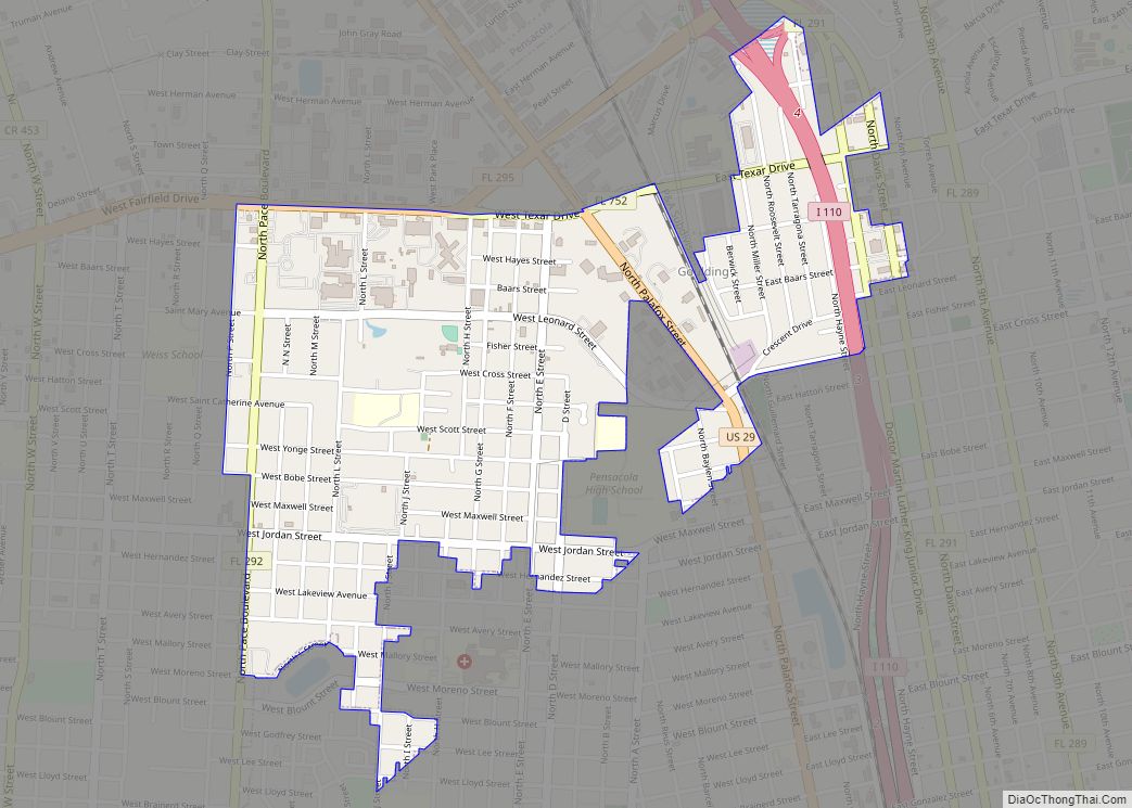
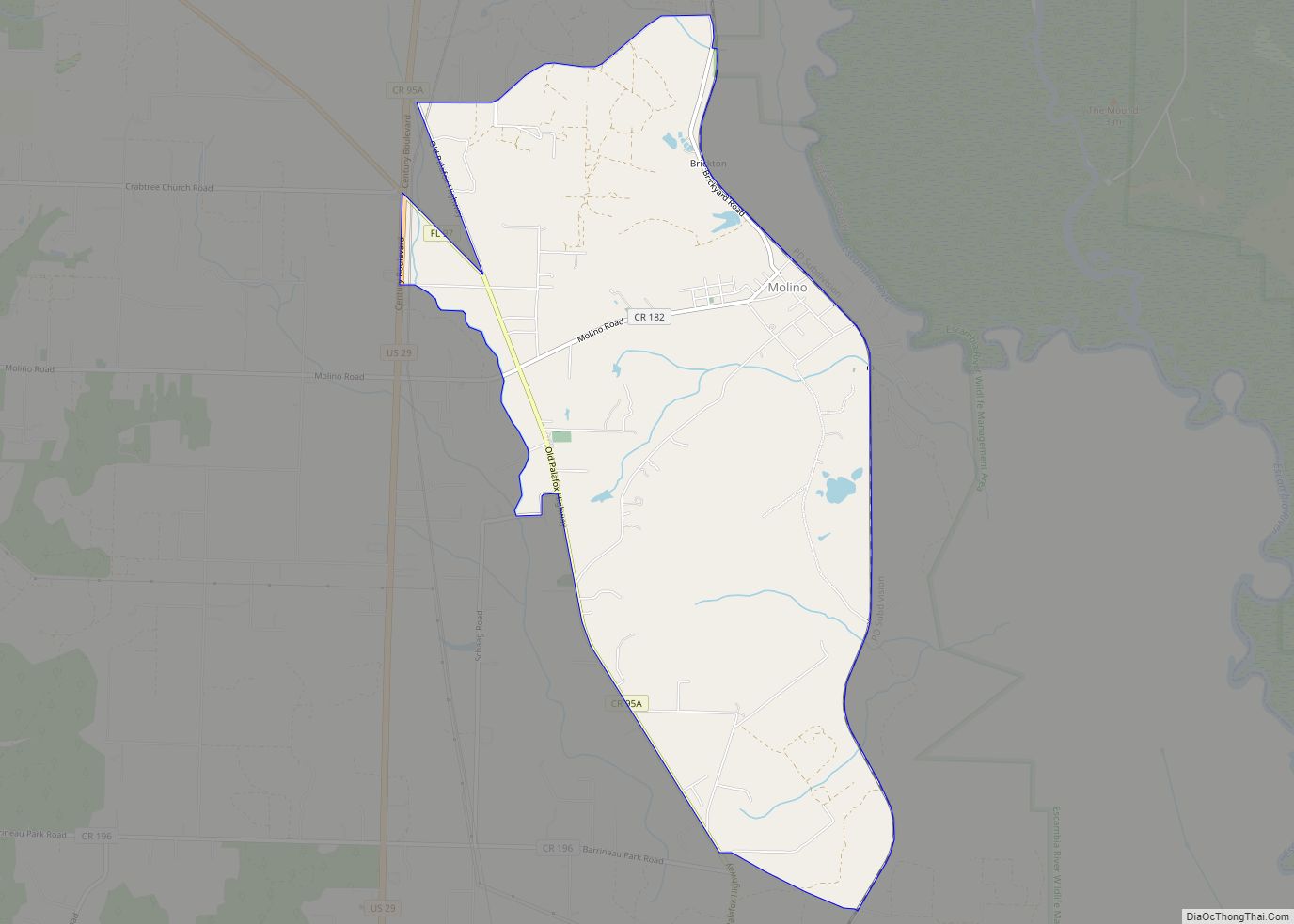
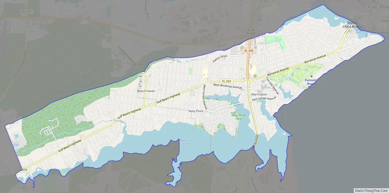
Online Interactive Map
Click on ![]() to view map in "full screen" mode.
to view map in "full screen" mode.
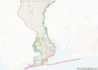
Warrington location map. Where is Warrington CDP?
History
Warrington is named for Lewis Warrington, who served as Secretary of the Navy, and who helped choose the area that became Naval Air Station Pensacola. He served as the first commandant of the newly created Navy Yard, 1826–1827.
Warrington was created shortly after the Pensacola Navy Yard’s 1826 foundation. Commodore Melancthon Taylor Woolsey, the second commandant of the Navy Yard (1827–1831), “created two villages, Warrington, and Woolsey outside the navy yard for homebuilding.” Warrington was between the yard and Fort Barrancas. The town was relocated north of Bayou Grande in the 1930s to make additional space available for the expanding Naval Air Station.
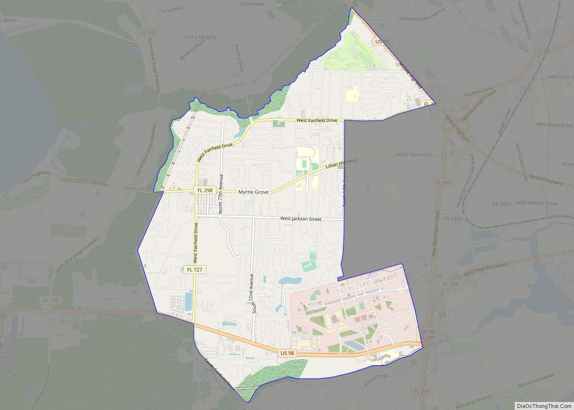
Warrington Road Map
Warrington city Satellite Map

Geography
Warrington is located at 30°23′9″N 87°17′23″W / 30.38583°N 87.28972°W / 30.38583; -87.28972 (30.385698, −87.289594).
According to the United States Census Bureau, the CDP has a total area of 8.9 square miles (23.0 km), of which 6.9 square miles (17.9 km) is land and 2.0 square miles (5.1 km), or 21.97%, is water.
See also
Map of Florida State and its subdivision:- Alachua
- Baker
- Bay
- Bradford
- Brevard
- Broward
- Calhoun
- Charlotte
- Citrus
- Clay
- Collier
- Columbia
- Desoto
- Dixie
- Duval
- Escambia
- Flagler
- Franklin
- Gadsden
- Gilchrist
- Glades
- Gulf
- Hamilton
- Hardee
- Hendry
- Hernando
- Highlands
- Hillsborough
- Holmes
- Indian River
- Jackson
- Jefferson
- Lafayette
- Lake
- Lee
- Leon
- Levy
- Liberty
- Madison
- Manatee
- Marion
- Martin
- Miami-Dade
- Monroe
- Nassau
- Okaloosa
- Okeechobee
- Orange
- Osceola
- Palm Beach
- Pasco
- Pinellas
- Polk
- Putnam
- Saint Johns
- Saint Lucie
- Santa Rosa
- Sarasota
- Seminole
- Sumter
- Suwannee
- Taylor
- Union
- Volusia
- Wakulla
- Walton
- Washington
- Alabama
- Alaska
- Arizona
- Arkansas
- California
- Colorado
- Connecticut
- Delaware
- District of Columbia
- Florida
- Georgia
- Hawaii
- Idaho
- Illinois
- Indiana
- Iowa
- Kansas
- Kentucky
- Louisiana
- Maine
- Maryland
- Massachusetts
- Michigan
- Minnesota
- Mississippi
- Missouri
- Montana
- Nebraska
- Nevada
- New Hampshire
- New Jersey
- New Mexico
- New York
- North Carolina
- North Dakota
- Ohio
- Oklahoma
- Oregon
- Pennsylvania
- Rhode Island
- South Carolina
- South Dakota
- Tennessee
- Texas
- Utah
- Vermont
- Virginia
- Washington
- West Virginia
- Wisconsin
- Wyoming