Waukeenah is an unincorporated community and census-designated place (CDP) in Jefferson County, Florida, United States. As of the 2020 census, the population was 259.
| Name: | Waukeenah CDP |
|---|---|
| LSAD Code: | 57 |
| LSAD Description: | CDP (suffix) |
| State: | Florida |
| County: | Jefferson County |
| Elevation: | 194 ft (59 m) |
| Total Area: | 3.22 sq mi (8.35 km²) |
| Land Area: | 3.16 sq mi (8.18 km²) |
| Water Area: | 0.07 sq mi (0.17 km²) |
| Total Population: | 259 |
| Population Density: | 82.01/sq mi (31.67/km²) |
| ZIP code: | 32344 |
| Area code: | 850 |
| FIPS code: | 1275425 |
| GNISfeature ID: | 294191 |
Online Interactive Map
Click on ![]() to view map in "full screen" mode.
to view map in "full screen" mode.
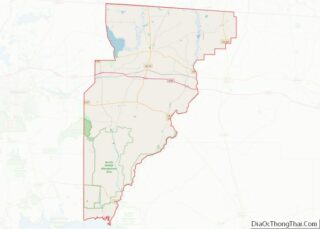
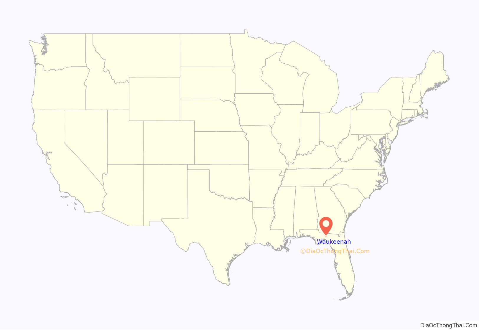
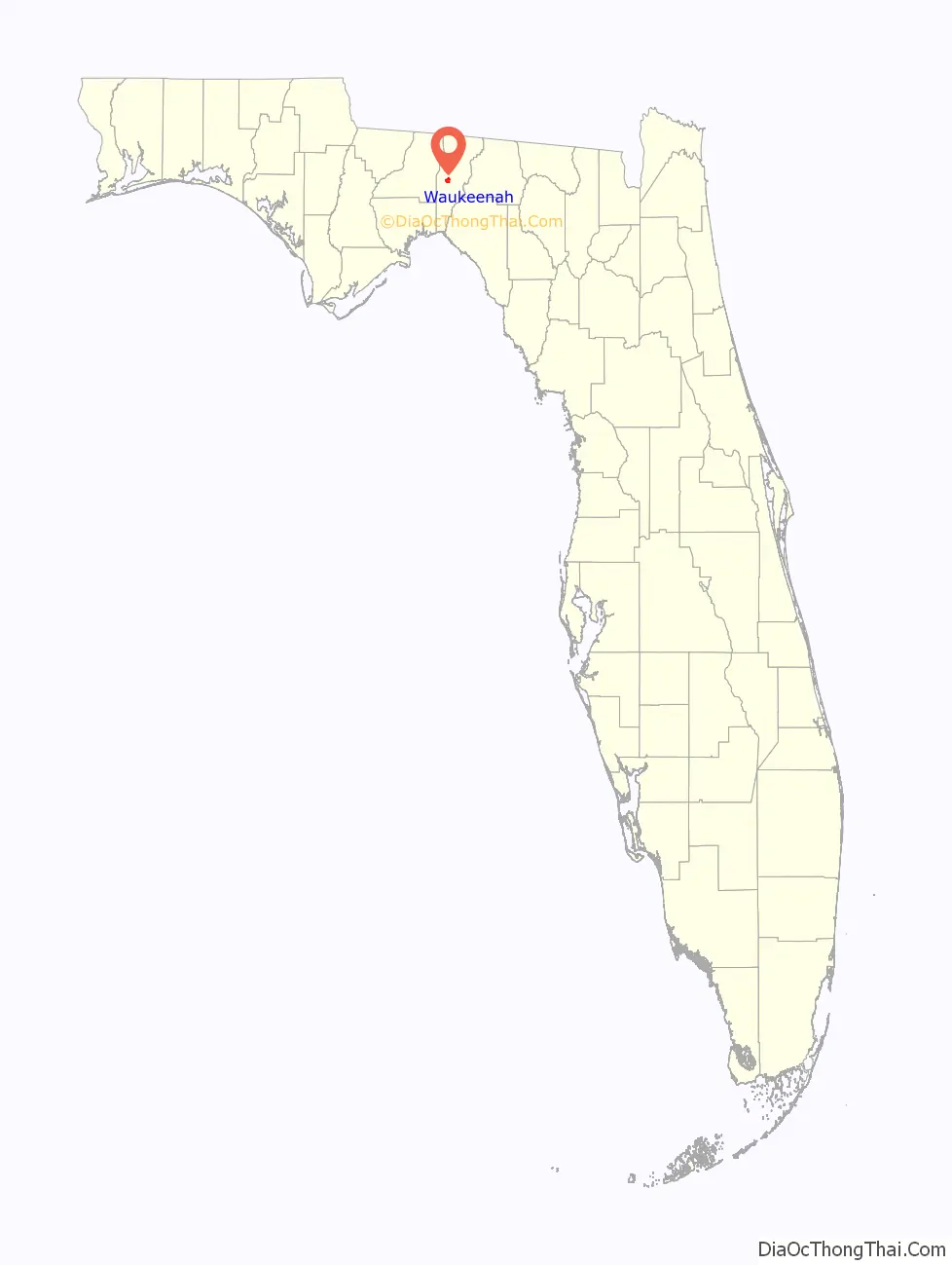
Waukeenah location map. Where is Waukeenah CDP?
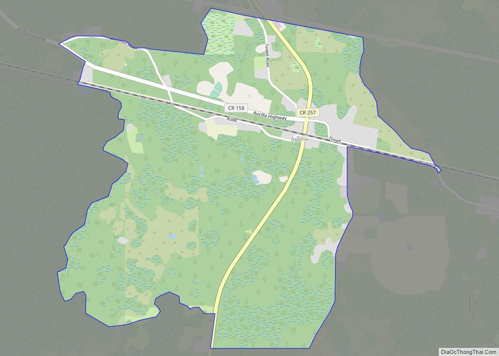
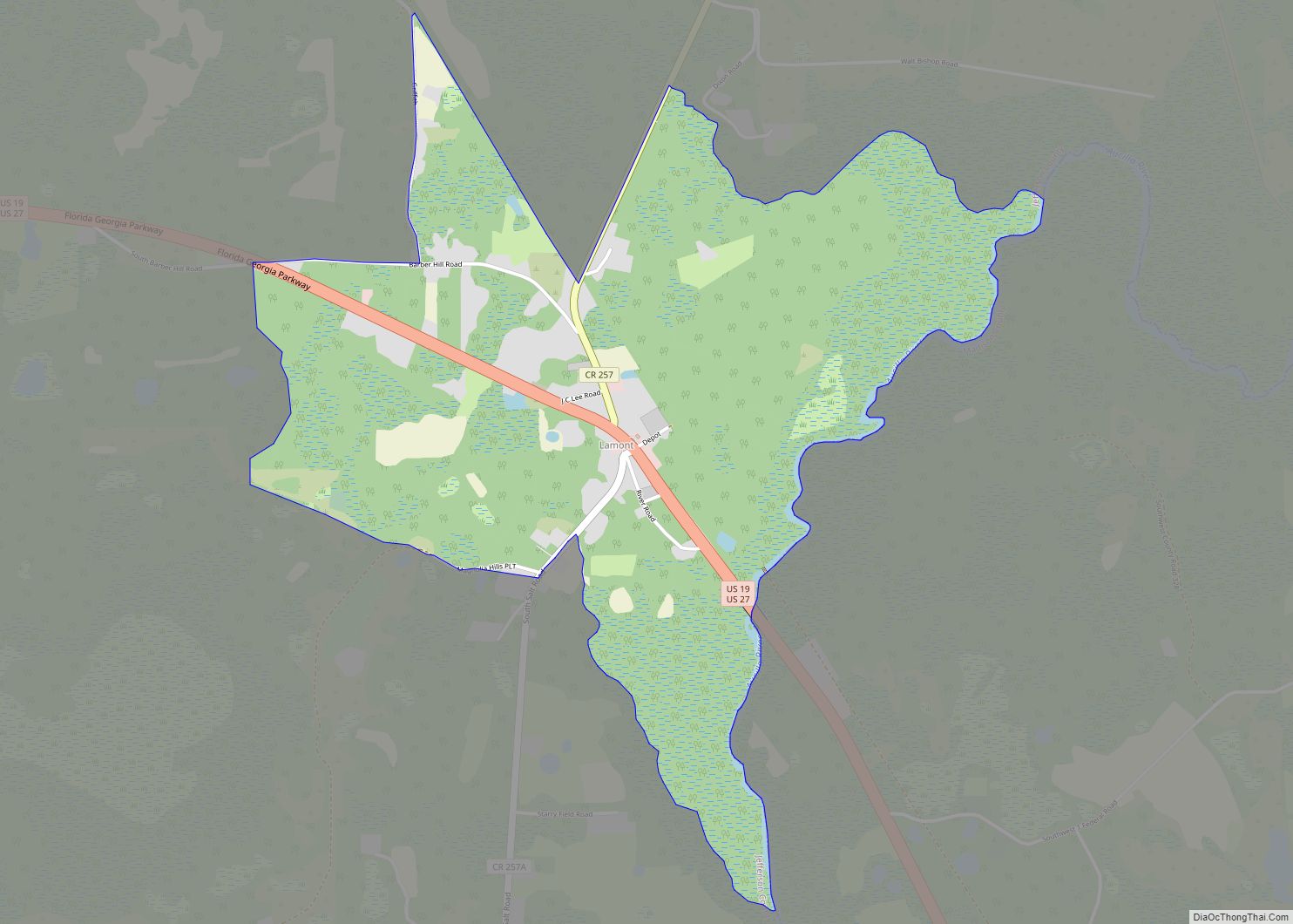
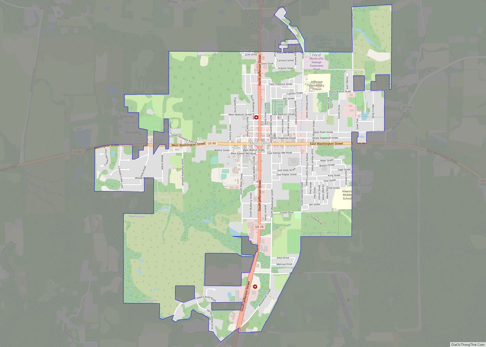
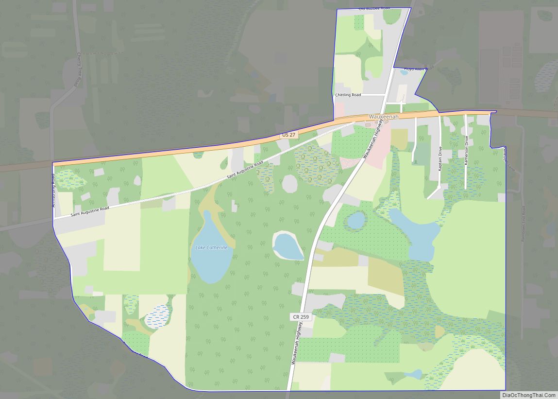
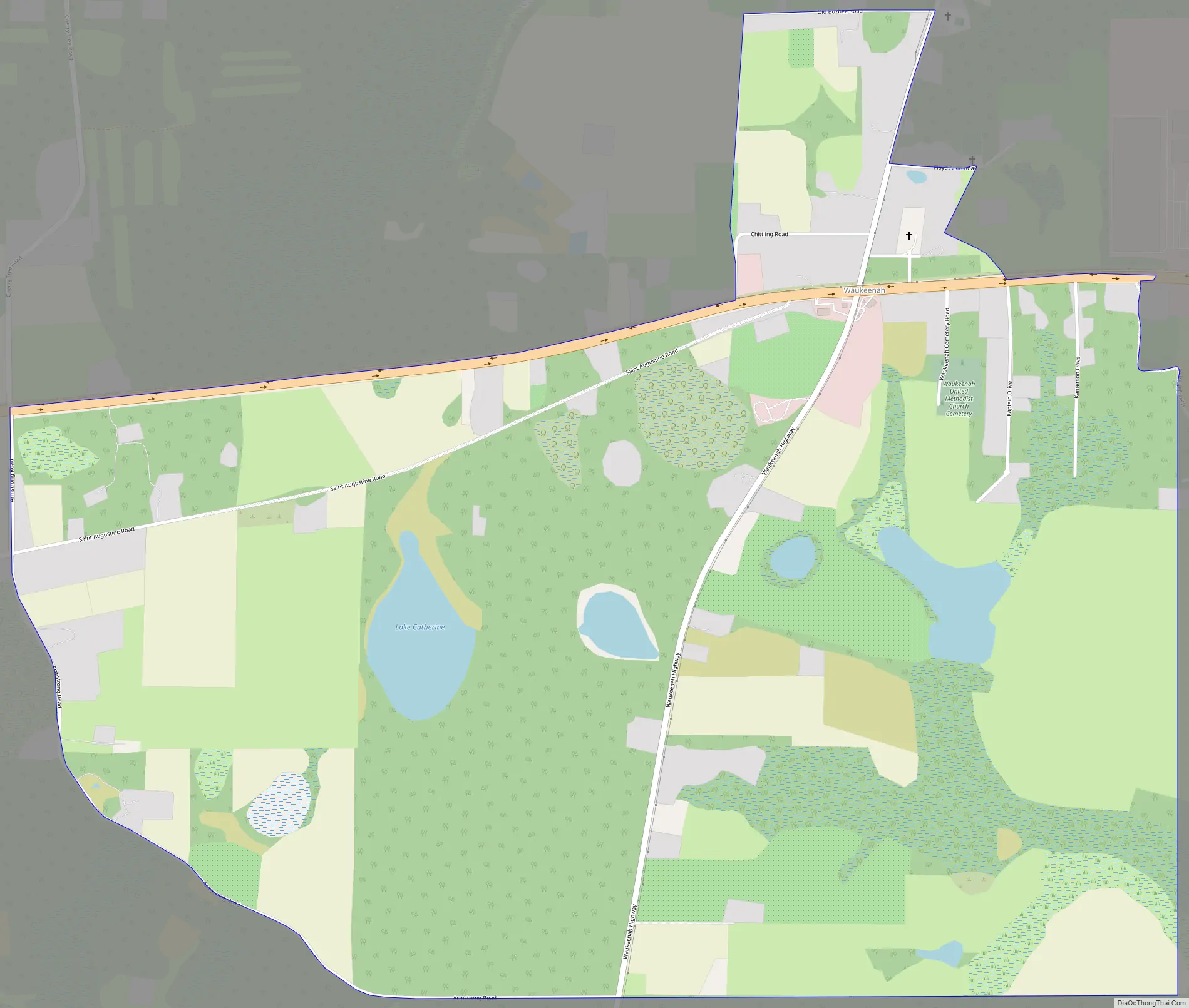
Waukeenah Road Map
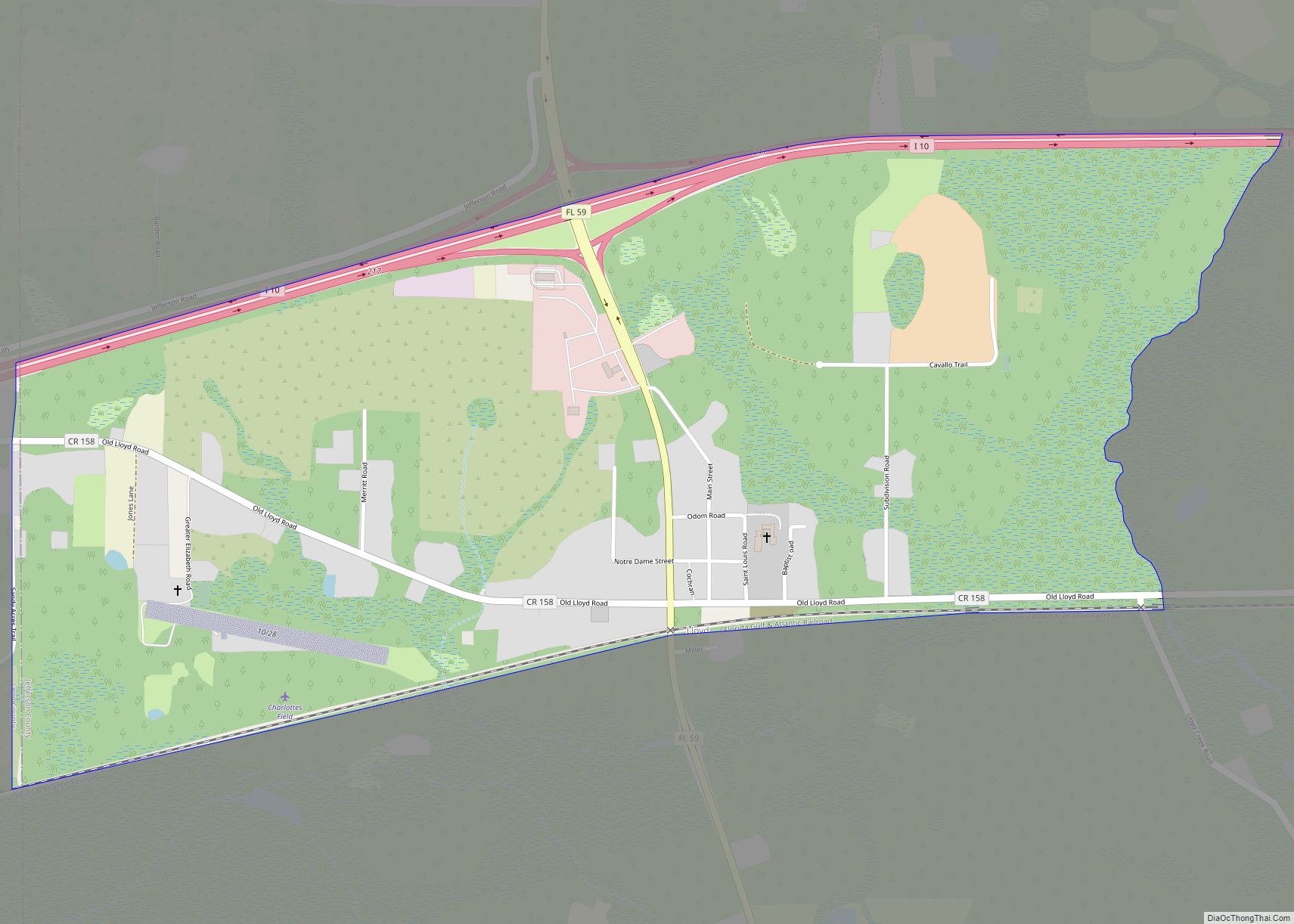
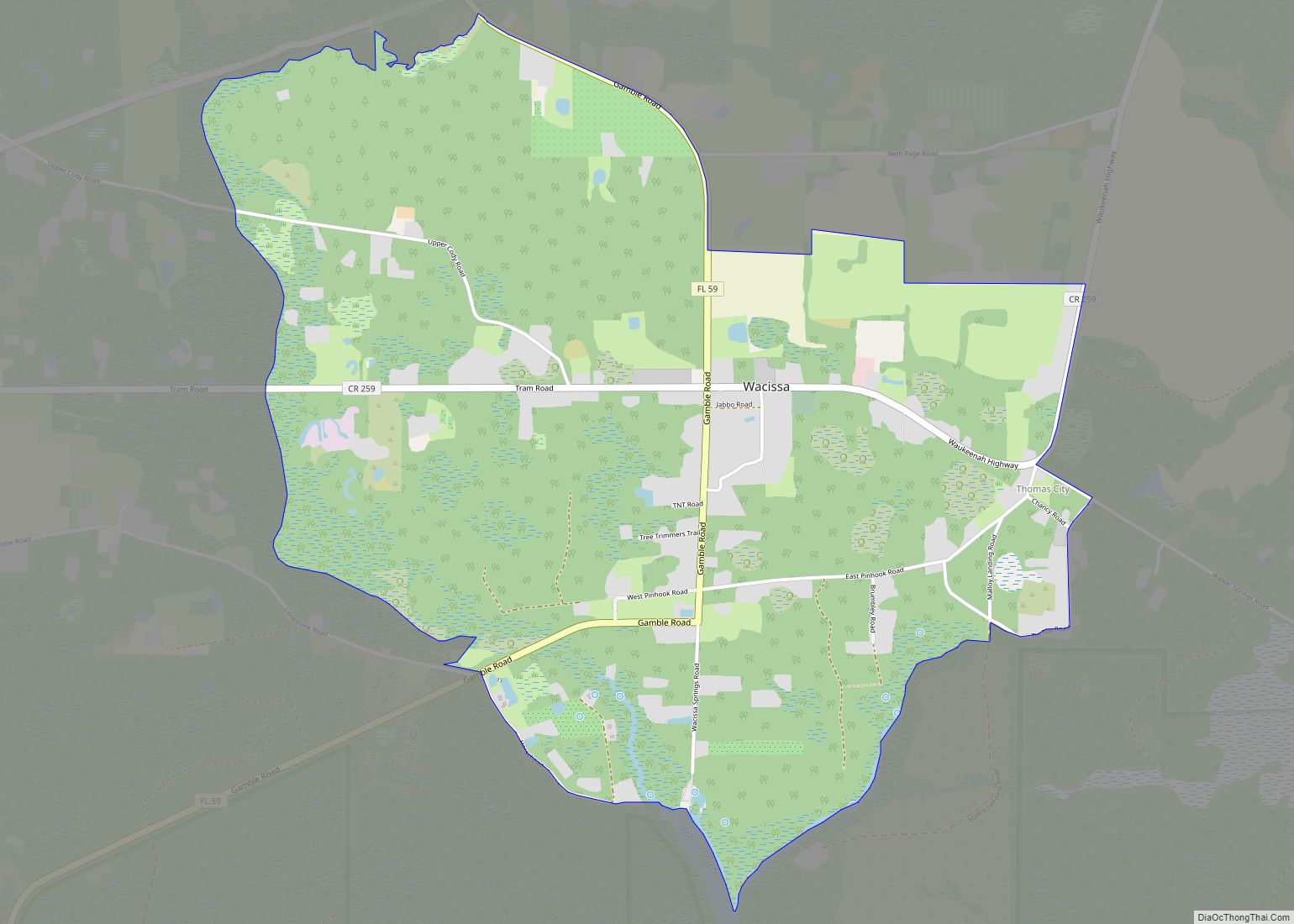
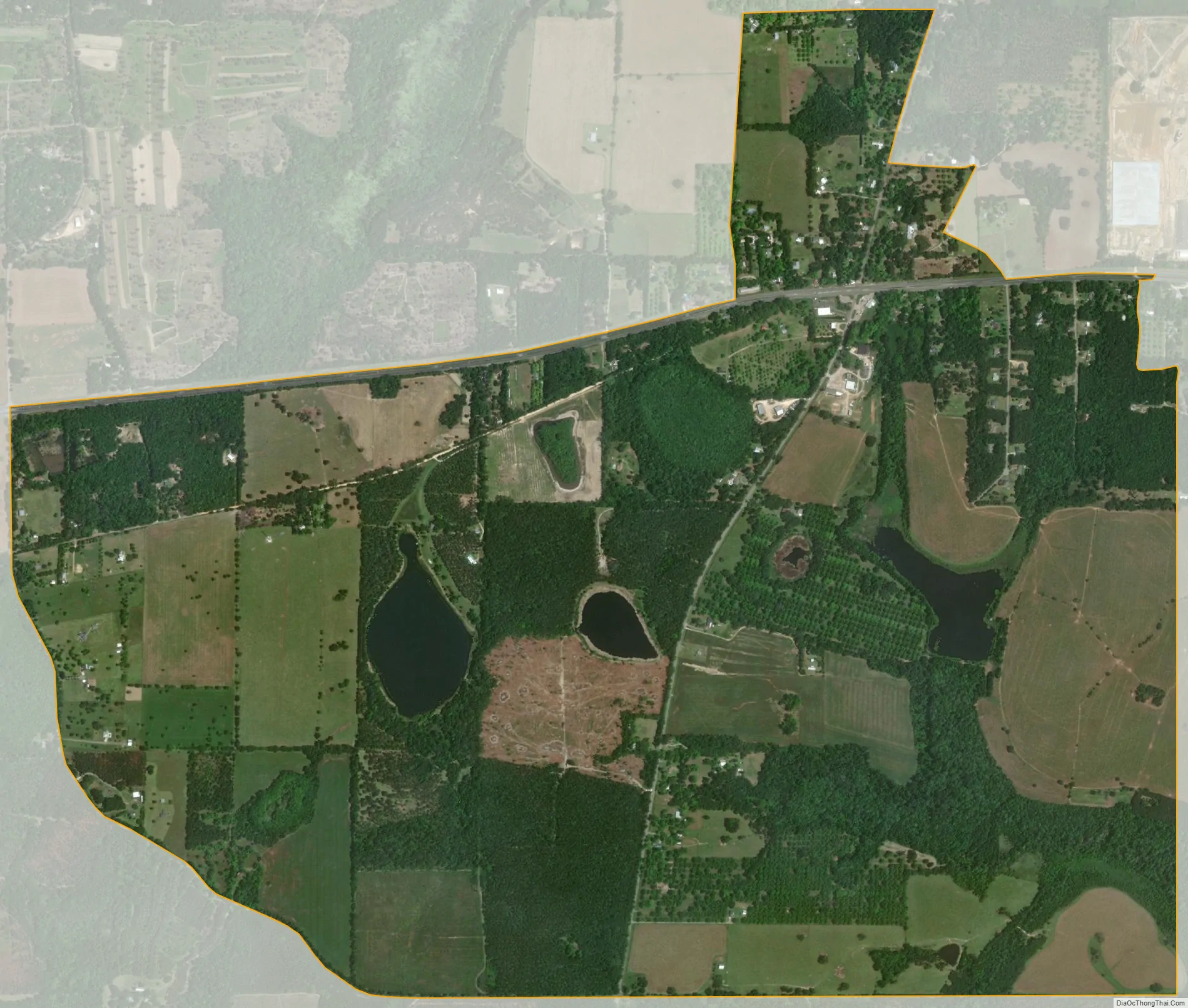
Waukeenah city Satellite Map
Geography
Waukeenah is located at 30°24′40″N 83°57′11″W / 30.4111°N 83.9531°W / 30.4111; -83.9531 (30.4111, -83.9531), near the intersection of US 27/State Road 20 and County Road 259. It is 11 miles (18 km) southwest of Monticello, the Jefferson county seat, and 20 miles (32 km) east of Tallahassee, the state capital.
Waukeenah was once a resting point for travelers using the Old St. Augustine road, which started in St. Augustine and went to Pensacola, Florida.
John G. Gamble’s plantation was named Joaquina in honor of a Spanish descent lady who lived in Pensacola. The post office established at the plantation was moved to the crossing of Tallahassee and St. Augustine Roads in 1841. First called Marion Cross Road (Marion Post Office) until 1850 when the settlement there was once again named Joaquina, but this time the spelling was Anglicized into Waukeenah.
According to the U.S. Census Bureau, the Waukeenah CDP has a total area of 3.2 square miles (8.4 km), of which 3.2 square miles (8.2 km) are land and 0.1 square miles (0.2 km), or 2.04%, are water.
See also
Map of Florida State and its subdivision:- Alachua
- Baker
- Bay
- Bradford
- Brevard
- Broward
- Calhoun
- Charlotte
- Citrus
- Clay
- Collier
- Columbia
- Desoto
- Dixie
- Duval
- Escambia
- Flagler
- Franklin
- Gadsden
- Gilchrist
- Glades
- Gulf
- Hamilton
- Hardee
- Hendry
- Hernando
- Highlands
- Hillsborough
- Holmes
- Indian River
- Jackson
- Jefferson
- Lafayette
- Lake
- Lee
- Leon
- Levy
- Liberty
- Madison
- Manatee
- Marion
- Martin
- Miami-Dade
- Monroe
- Nassau
- Okaloosa
- Okeechobee
- Orange
- Osceola
- Palm Beach
- Pasco
- Pinellas
- Polk
- Putnam
- Saint Johns
- Saint Lucie
- Santa Rosa
- Sarasota
- Seminole
- Sumter
- Suwannee
- Taylor
- Union
- Volusia
- Wakulla
- Walton
- Washington
- Alabama
- Alaska
- Arizona
- Arkansas
- California
- Colorado
- Connecticut
- Delaware
- District of Columbia
- Florida
- Georgia
- Hawaii
- Idaho
- Illinois
- Indiana
- Iowa
- Kansas
- Kentucky
- Louisiana
- Maine
- Maryland
- Massachusetts
- Michigan
- Minnesota
- Mississippi
- Missouri
- Montana
- Nebraska
- Nevada
- New Hampshire
- New Jersey
- New Mexico
- New York
- North Carolina
- North Dakota
- Ohio
- Oklahoma
- Oregon
- Pennsylvania
- Rhode Island
- South Carolina
- South Dakota
- Tennessee
- Texas
- Utah
- Vermont
- Virginia
- Washington
- West Virginia
- Wisconsin
- Wyoming