WaKeeney is a city in and the county seat of Trego County, Kansas, United States. As of the 2020 census, the population of the city was 1,799.
| Name: | WaKeeney city |
|---|---|
| LSAD Code: | 25 |
| LSAD Description: | city (suffix) |
| State: | Kansas |
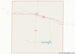
| County: | Trego County |
| Founded: | 1879 |
| Incorporated: | 1880 |
| Elevation: | 2,448 ft (746 m) |
| Total Area: | 1.78 sq mi (4.61 km²) |
| Land Area: | 1.78 sq mi (4.61 km²) |
| Water Area: | 0.00 sq mi (0.00 km²) |
| Total Population: | 1,799 |
| Population Density: | 1,000/sq mi (390/km²) |
| ZIP code: | 67672 |
| Area code: | 785 |
| FIPS code: | 2074450 |
| Website: | wakeeney.org |
Online Interactive Map
Click on ![]() to view map in "full screen" mode.
to view map in "full screen" mode.
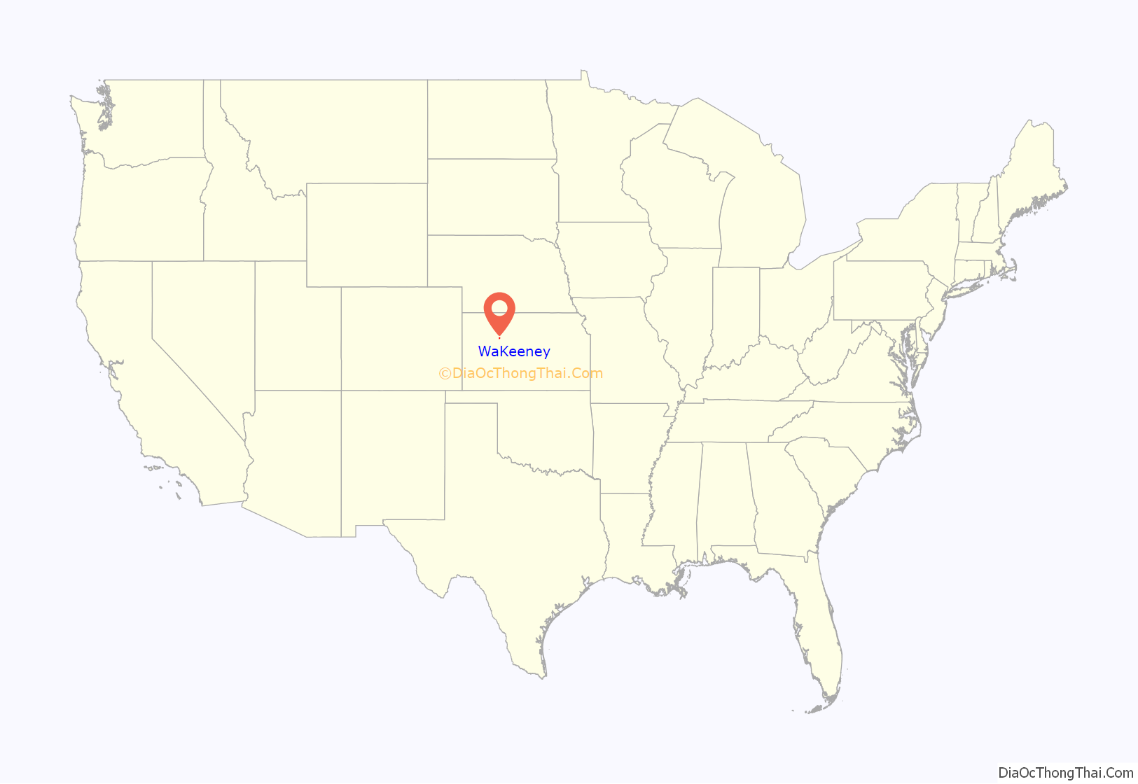
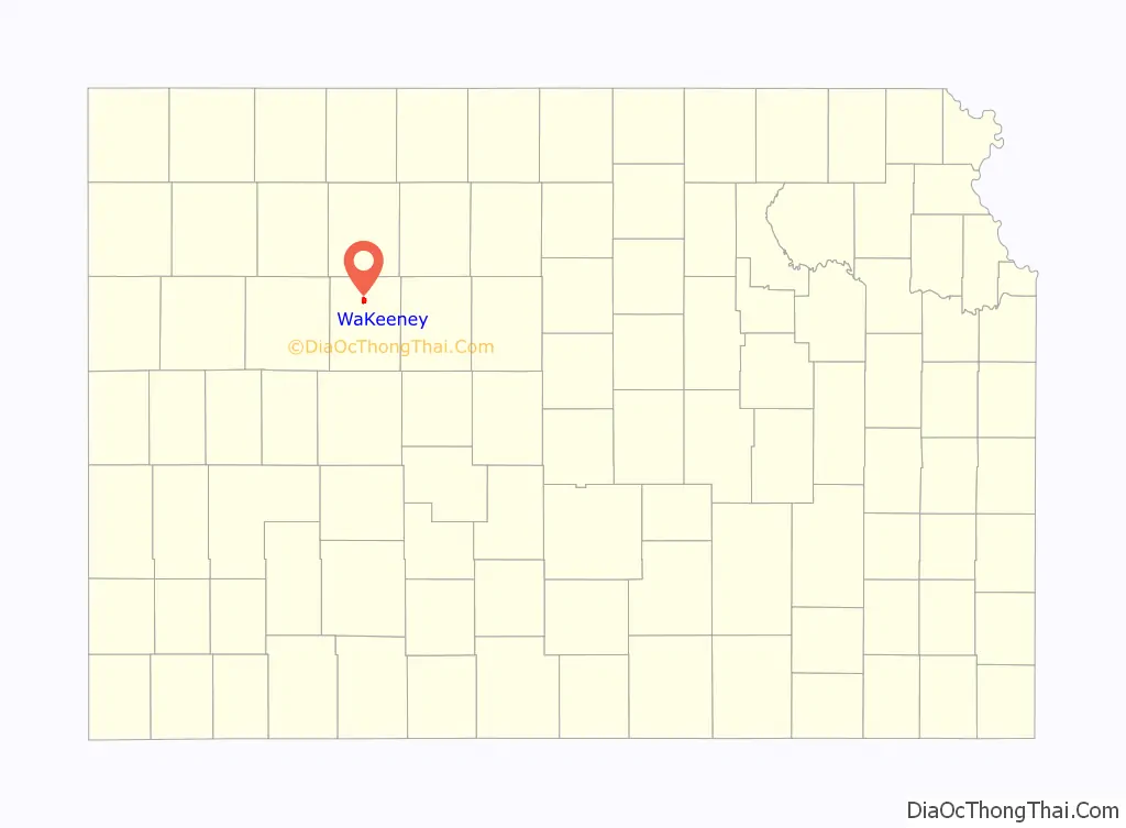
WaKeeney location map. Where is WaKeeney city?
History
James Keeney, a land speculator in Chicago, purchased land at the site of modern-day WaKeeney from the Kansas Pacific Railway in 1877. He and business partner Albert Warren formed Warren, Keeney, & Co., surveyed and plotted the site in 1878, and established a colony there in 1879. They named the colony WaKeeney, a portmanteau of their surnames, and billed it as “The Queen City of the High Plains”, advertising and holding celebrations to attract settlers. The colony grew rapidly, but crop failures drove settlers to leave in 1880 as quickly as they had come. By 1882, all that was left were “five poorly patronized retail stores”. Years later, Volga Germans began settling the area.
WaKeeney became the county seat in June 1879 and was incorporated as a city in 1880.
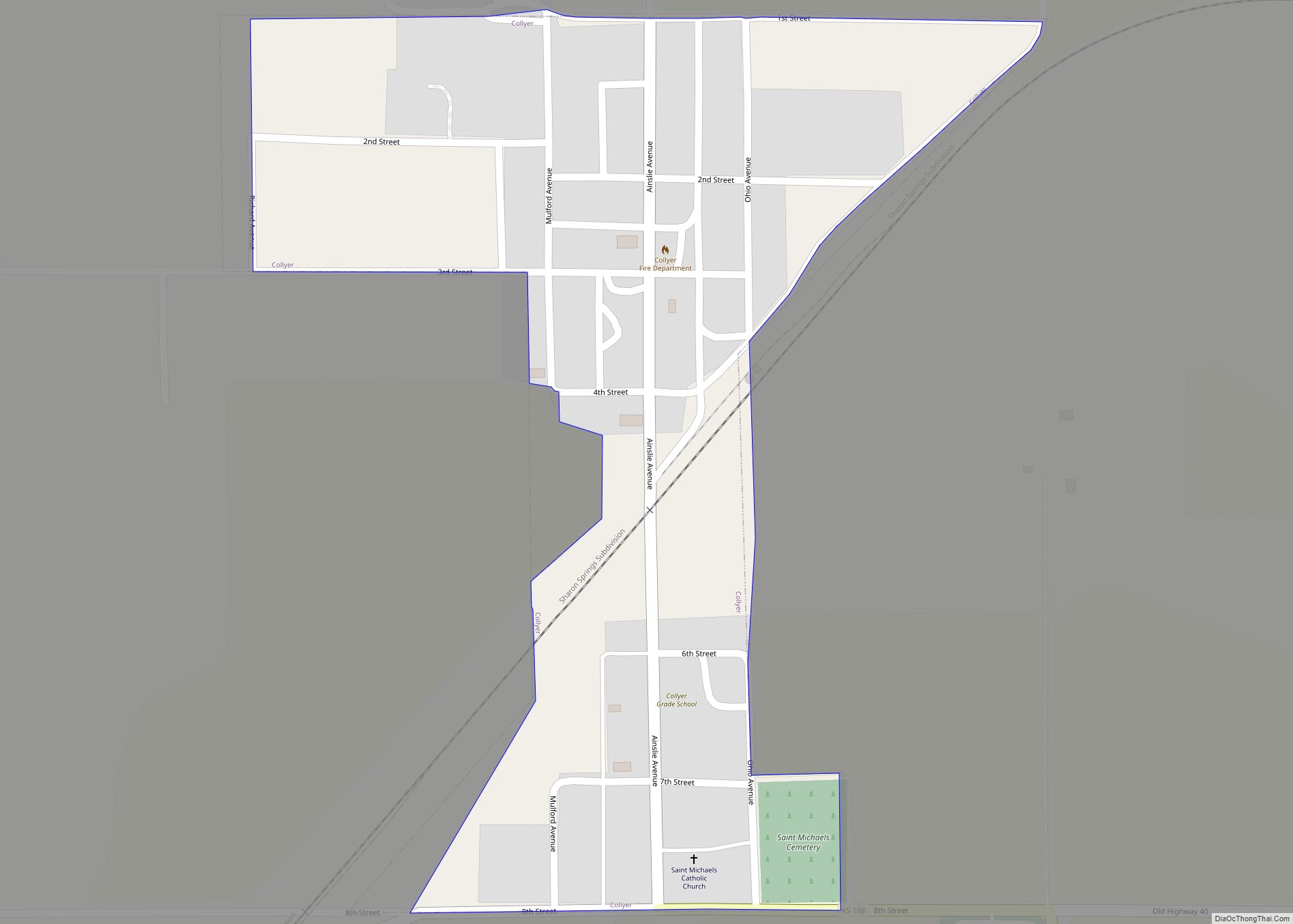
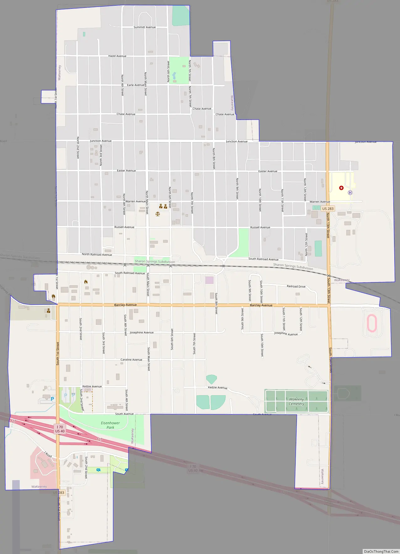
WaKeeney Road Map
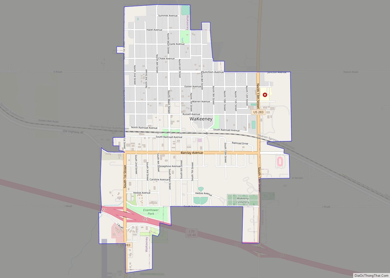
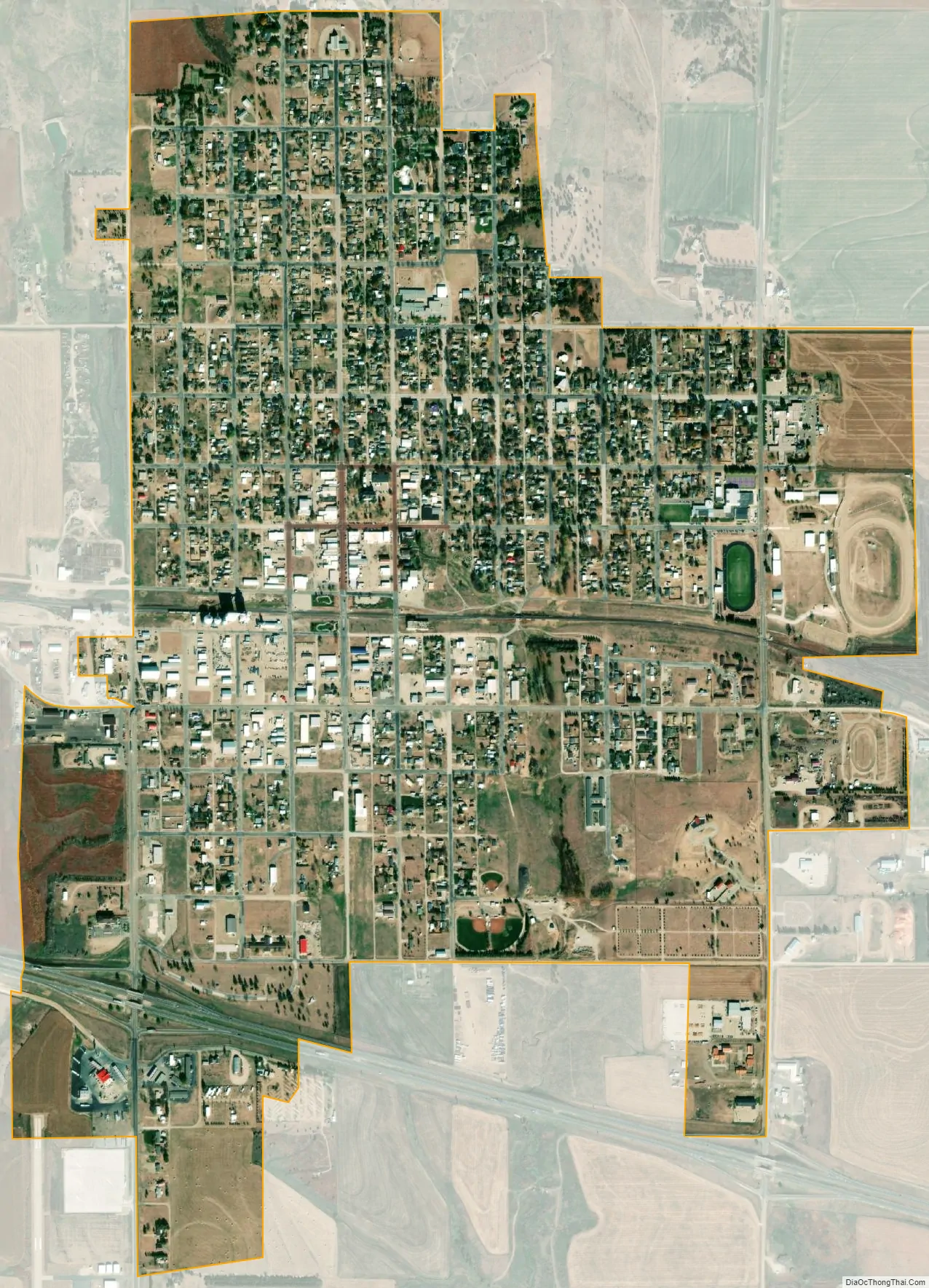
WaKeeney city Satellite Map
Geography
WaKeeney is located at 39°01′28″N 99°52′55″W / 39.024467°N 99.881972°W / 39.024467; -99.881972 (39.024467, -99.881972) at an elevation of 2,447 feet (746 m). Located in northwestern Kansas at the intersection of Interstate 70 and U.S. Route 283, it is 162 miles (261 km) northwest of Wichita, 281 miles (452 km) east-southeast of Denver, and 284 miles (457 km) west of Kansas City.
WaKeeney lies in the High Plains region of the Great Plains approximately 2 miles (3.2 km) north of Big Creek, a tributary of the Smoky Hill River. A small tributary of Big Creek flows south from near the center of the city.
According to the United States Census Bureau, the city has a total area of 1.71 square miles (4.43 km), all of it land.
Climate
WaKeeney has a humid continental climate (Köppen Dfa), experiencing hot, humid summers and cold, dry winters. The average temperature is 52.8 °F (11 °C), and the average yearly precipitation is 23.6 inches (600 mm). Snowfall averages 25.2 inches (640 mm) per year. On average, January is the coolest month, and July is both the warmest month and the wettest month. The hottest temperature recorded in WaKeeney was 110 °F (43 °C) in 1980; the coldest temperature recorded was -25 °F (-32 °C) in 1989.
See also
Map of Kansas State and its subdivision:- Allen
- Anderson
- Atchison
- Barber
- Barton
- Bourbon
- Brown
- Butler
- Chase
- Chautauqua
- Cherokee
- Cheyenne
- Clark
- Clay
- Cloud
- Coffey
- Comanche
- Cowley
- Crawford
- Decatur
- Dickinson
- Doniphan
- Douglas
- Edwards
- Elk
- Ellis
- Ellsworth
- Finney
- Ford
- Franklin
- Geary
- Gove
- Graham
- Grant
- Gray
- Greeley
- Greenwood
- Hamilton
- Harper
- Harvey
- Haskell
- Hodgeman
- Jackson
- Jefferson
- Jewell
- Johnson
- Kearny
- Kingman
- Kiowa
- Labette
- Lane
- Leavenworth
- Lincoln
- Linn
- Logan
- Lyon
- Marion
- Marshall
- McPherson
- Meade
- Miami
- Mitchell
- Montgomery
- Morris
- Morton
- Nemaha
- Neosho
- Ness
- Norton
- Osage
- Osborne
- Ottawa
- Pawnee
- Phillips
- Pottawatomie
- Pratt
- Rawlins
- Reno
- Republic
- Rice
- Riley
- Rooks
- Rush
- Russell
- Saline
- Scott
- Sedgwick
- Seward
- Shawnee
- Sheridan
- Sherman
- Smith
- Stafford
- Stanton
- Stevens
- Sumner
- Thomas
- Trego
- Wabaunsee
- Wallace
- Washington
- Wichita
- Wilson
- Woodson
- Wyandotte
- Alabama
- Alaska
- Arizona
- Arkansas
- California
- Colorado
- Connecticut
- Delaware
- District of Columbia
- Florida
- Georgia
- Hawaii
- Idaho
- Illinois
- Indiana
- Iowa
- Kansas
- Kentucky
- Louisiana
- Maine
- Maryland
- Massachusetts
- Michigan
- Minnesota
- Mississippi
- Missouri
- Montana
- Nebraska
- Nevada
- New Hampshire
- New Jersey
- New Mexico
- New York
- North Carolina
- North Dakota
- Ohio
- Oklahoma
- Oregon
- Pennsylvania
- Rhode Island
- South Carolina
- South Dakota
- Tennessee
- Texas
- Utah
- Vermont
- Virginia
- Washington
- West Virginia
- Wisconsin
- Wyoming