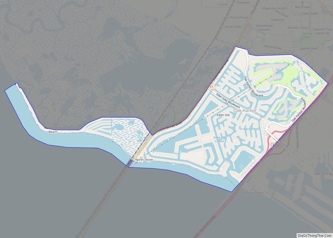
Eden Isle is a census-designated place (CDP) in St. Tammany Parish, Louisiana, United States, on the northeast shore of Lake Pontchartrain. The population was 7,041 at the 2010 census. It is part of the New Orleans–Metairie–Kenner Metropolitan Statistical Area. The area is a residential community with homes built on a system of canals connecting to eastern Lake Pontchartrain, which also includes businesses along the Interstate-10 corridor as well as restaurants and marina services within the residential section.
| Name: | Eden Isle CDP |
|---|---|
| LSAD Code: | 57 |
| LSAD Description: | CDP (suffix) |
| State: | Louisiana |
| County: | St. Tammany Parish |
| Elevation: | 7 ft (2 m) |
| Total Area: | 5.01 sq mi (12.98 km²) |
| Land Area: | 3.04 sq mi (7.87 km²) |
| Water Area: | 1.98 sq mi (5.12 km²) |
| Total Population: | 7,782 |
| Population Density: | 2,562.40/sq mi (989.42/km²) |
| Area code: | 985 |
| FIPS code: | 2222722 |
Online Interactive Map
Click on ![]() to view map in "full screen" mode.
to view map in "full screen" mode.
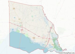
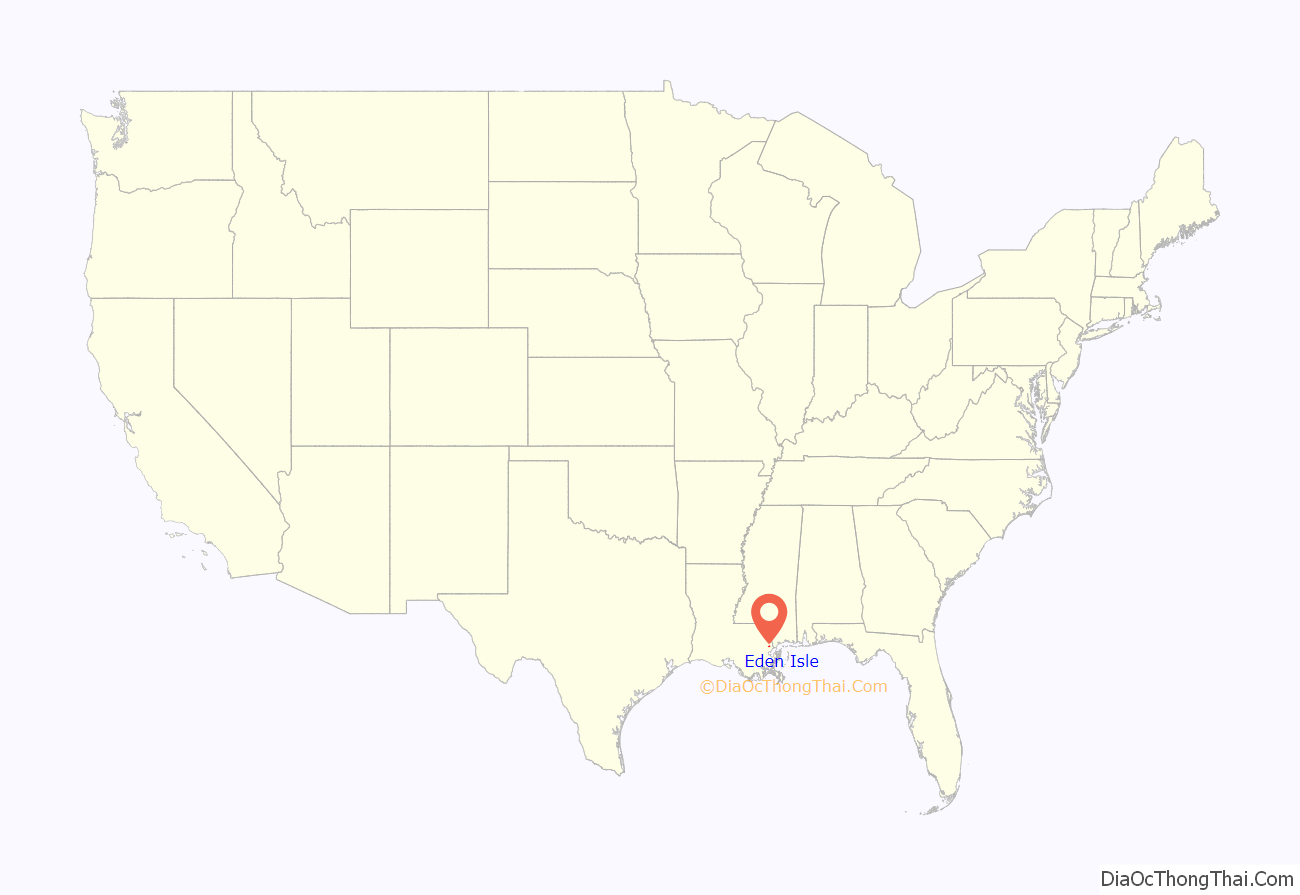
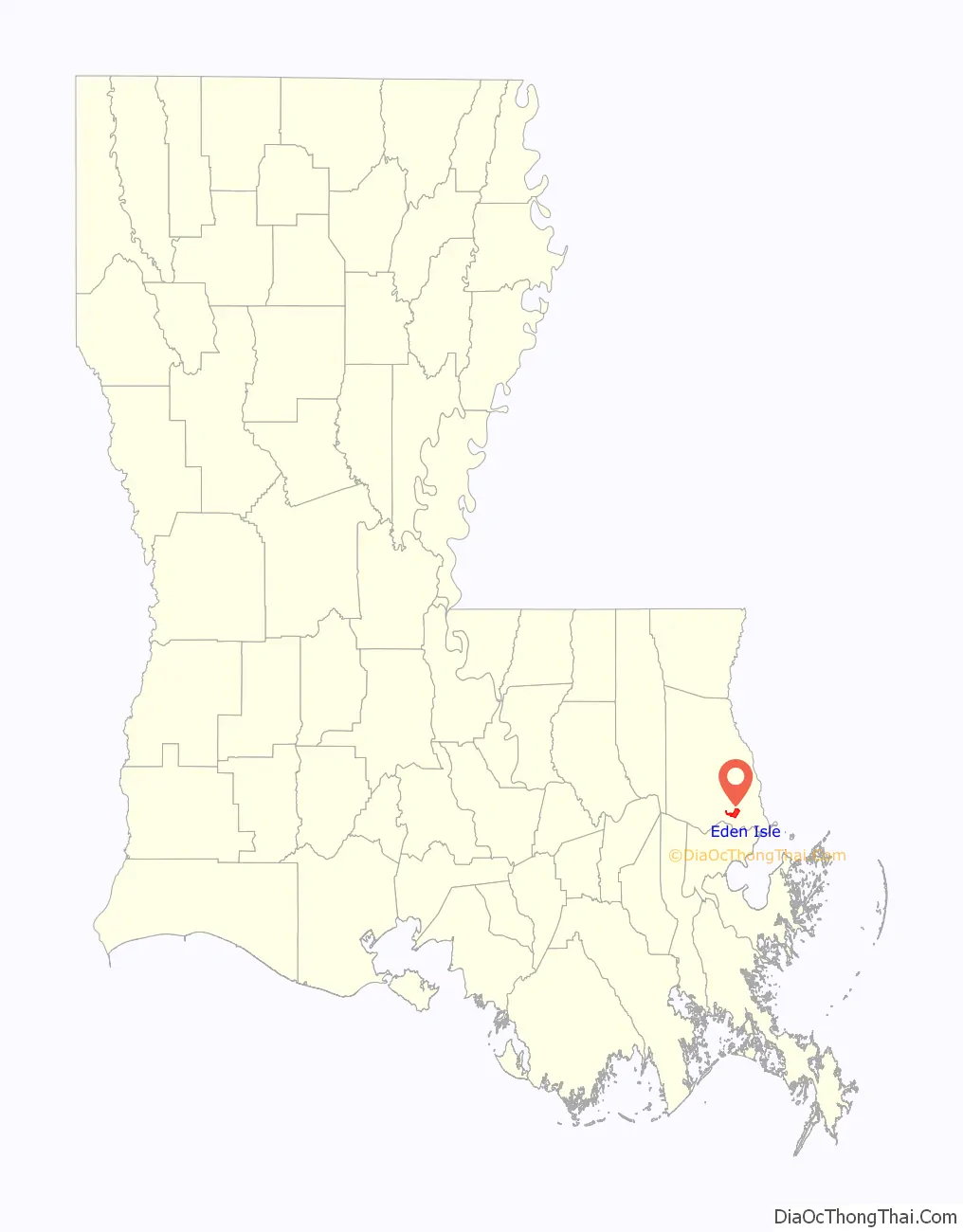
Eden Isle location map. Where is Eden Isle CDP?
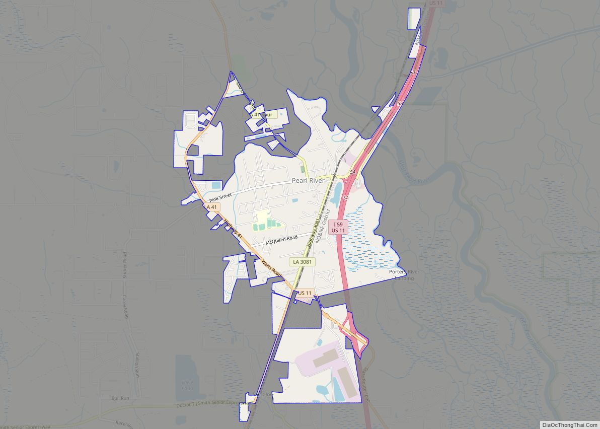
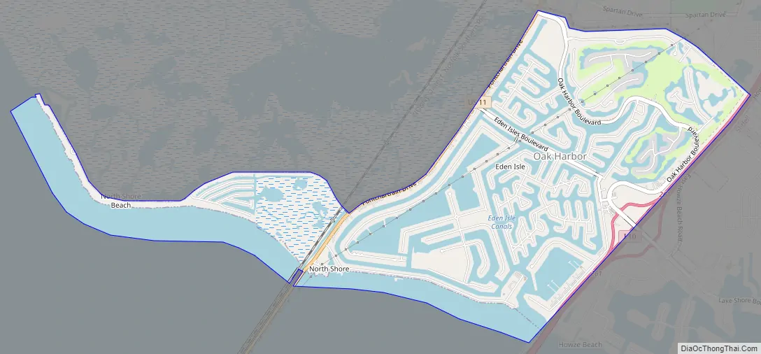
Eden Isle Road Map
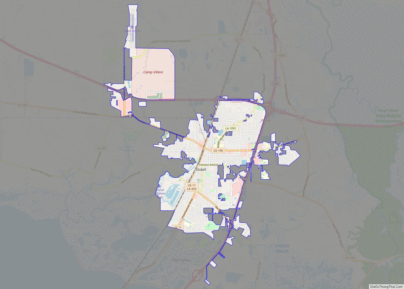
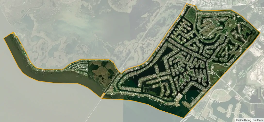
Eden Isle city Satellite Map
Geography
Eden Isle is located at 30°13′27″N 89°48′1″W / 30.22417°N 89.80028°W / 30.22417; -89.80028 (30.224116, -89.800390).
According to the United States Census Bureau, the CDP has a total area of 4.2 square miles (10.8 km), of which 3.2 square miles (8.4 km) is land and 0.97 square miles (2.5 km), or 22.82%, is water.
The area was devastated by Hurricane Katrina in August 2005.
Originally, the land was a marsh with a canal and levee bordering a pine forest behind Salmen High School and Our Lady of Lourdes Catholic Church and School. The marsh was drained and filled over a period of several years prior to the development of the community.
See also
Map of Louisiana State and its subdivision:- Acadia
- Allen
- Ascension
- Assumption
- Avoyelles
- Beauregard
- Bienville
- Bossier
- Caddo
- Calcasieu
- Caldwell
- Cameron
- Catahoula
- Claiborne
- Concordia
- De Soto
- East Baton Rouge
- East Carroll
- East Feliciana
- Evangeline
- Franklin
- Grant
- Iberia
- Iberville
- Jackson
- Jefferson
- Jefferson Davis
- La Salle
- Lafayette
- Lafourche
- Lincoln
- Livingston
- Madison
- Morehouse
- Natchitoches
- Orleans
- Ouachita
- Plaquemines
- Pointe Coupee
- Rapides
- Red River
- Richland
- Sabine
- Saint Bernard
- Saint Charles
- Saint Helena
- Saint James
- Saint John the Baptist
- Saint Landry
- Saint Martin
- Saint Mary
- Saint Tammany
- Tangipahoa
- Tensas
- Terrebonne
- Union
- Vermilion
- Vernon
- Washington
- Webster
- West Baton Rouge
- West Carroll
- West Feliciana
- Winn
- Alabama
- Alaska
- Arizona
- Arkansas
- California
- Colorado
- Connecticut
- Delaware
- District of Columbia
- Florida
- Georgia
- Hawaii
- Idaho
- Illinois
- Indiana
- Iowa
- Kansas
- Kentucky
- Louisiana
- Maine
- Maryland
- Massachusetts
- Michigan
- Minnesota
- Mississippi
- Missouri
- Montana
- Nebraska
- Nevada
- New Hampshire
- New Jersey
- New Mexico
- New York
- North Carolina
- North Dakota
- Ohio
- Oklahoma
- Oregon
- Pennsylvania
- Rhode Island
- South Carolina
- South Dakota
- Tennessee
- Texas
- Utah
- Vermont
- Virginia
- Washington
- West Virginia
- Wisconsin
- Wyoming